Culpeper (formerly Culpeper Courthouse, earlier Fairfax) is an incorporated town in Culpeper County, Virginia, United States. The population was 20,062 at the 2020 census, up from 16,379 at the 2010 census. It is the county seat of Culpeper County.
| Name: | Culpeper town |
|---|---|
| LSAD Code: | 43 |
| LSAD Description: | town (suffix) |
| State: | Virginia |
| County: | Culpeper County |
| Founded: | 1759 |
| Elevation: | 413 ft (126 m) |
| Total Area: | 7.31 sq mi (18.94 km²) |
| Land Area: | 7.27 sq mi (18.83 km²) |
| Water Area: | 0.04 sq mi (0.11 km²) |
| Total Population: | 20,062 |
| Population Density: | 2,759.56/sq mi (1,065.43/km²) |
| Area code: | 540 |
| FIPS code: | 5120752 |
| GNISfeature ID: | 1498471 |
| Website: | www.culpeperva.gov |
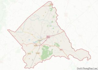
Online Interactive Map
Click on ![]() to view map in "full screen" mode.
to view map in "full screen" mode.
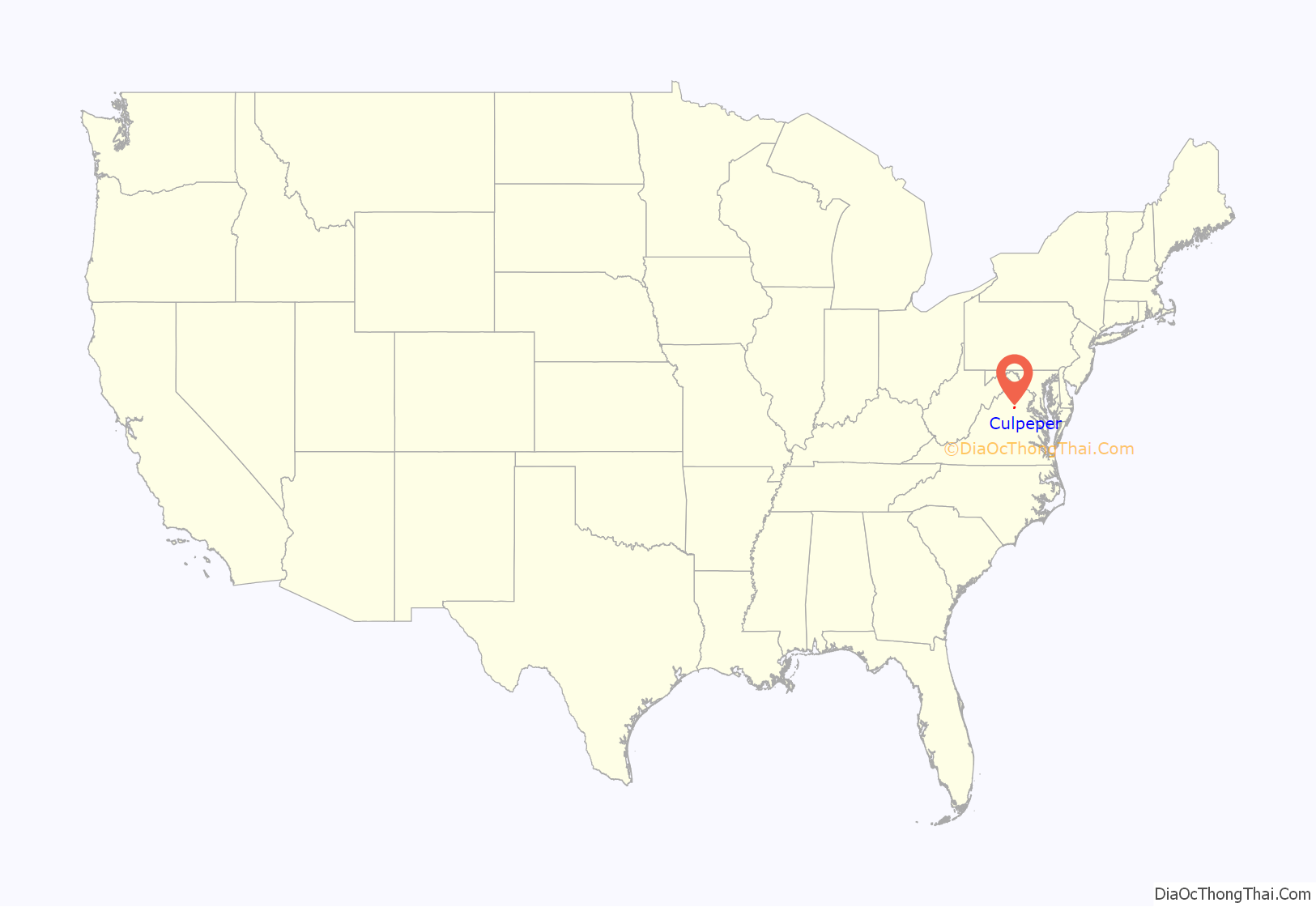
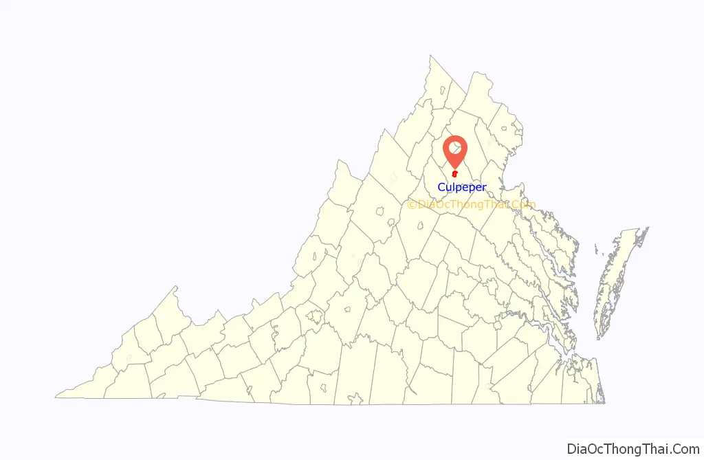
Culpeper location map. Where is Culpeper town?
History
After establishing Culpeper County, Virginia in 1748, the Virginia House of Burgesses voted to establish the Town of Fairfax on February 22, 1759. The name honored Thomas Fairfax, 6th Lord Fairfax of Cameron (1693–1781) who was proprietor of the Northern Neck peninsula, a vast domain north of the Rappahannock River; his territory was then defined as stretching from Chesapeake Bay to what is now Hampshire County, West Virginia.
The original plan of the town called for ten blocks, which form the core of Culpeper’s downtown area today. The original town was surveyed by a young George Washington, who at age 17 was a protege of the 6th Lord Fairfax. In 1795, the town received a U.S. Post Office under the name Culpeper Court House, although most maps continued to show the Fairfax name. The confusion resulting from the difference in official and postal names, coupled with the existence to the northeast of Fairfax Court House and Fairfax Station post offices in Fairfax County, was finally resolved when the Virginia General Assembly formally renamed the town as simply Culpeper in 1869 (Acts, 1869–1870, chapter 118, page 154).
During the American Revolutionary War (1775-1783), the Culpeper Minutemen, a pro-Independence militia, formed in the town of Culpeper Courthouse. They organized in what was then known as “Clayton’s Old Field,” near today’s Yowell Meadow Park.
During the Civil War (1861-1865), Culpeper was a crossroads for a number of armies marching through central Virginia, with both Union and Confederate forces occupying the town by turn. In the heart of downtown, the childhood home of Confederate General A.P. Hill stands at the corner of Main and Davis streets. One block north on Main Street (present location of Piedmont Realty) was the frame house where “The Gallant Major” John Pelham died after sustaining a wound at the Battle of Kelly’s Ford.
In 1974, the town had a Choral Society, an Odd Fellows Hall, and an American Legion Hall.
Culpeper began to grow dramatically in the 1980s, becoming a “bedroom community” of more densely populated Northern Virginia and Washington, D.C. suburbs. A growing number of residents of the town and county of Culpeper once lived and continue to work in those areas.
In 2011, East Davis Street in downtown Culpeper was named as a 2011 America’s Great Place by the American Planning Association.
Downtown Culpeper was one of the communities most affected by the August 23, 2011 Virginia earthquake. Several buildings along Main Street and East Davis Street suffered structural damage, and some were later condemned. The earthquake led to the temporary evacuation of the Packard Campus for Audio-Visual Conservation, which at the time was hosting a town hall event for U.S. Senator Mark Warner.
In 2014, the Museum of Culpeper History moved into the town’s historic train depot.
The downtown Culpeper Theater
Culpeper Presbyterian Church
U.S. Post Office in Culpeper
National Audio-Visual Conservation Center, Packard Campus for Audio-Visual Conservation in Culpeper
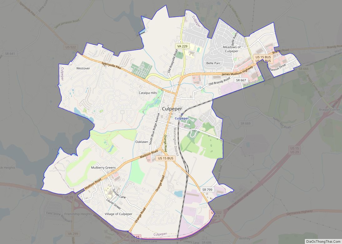
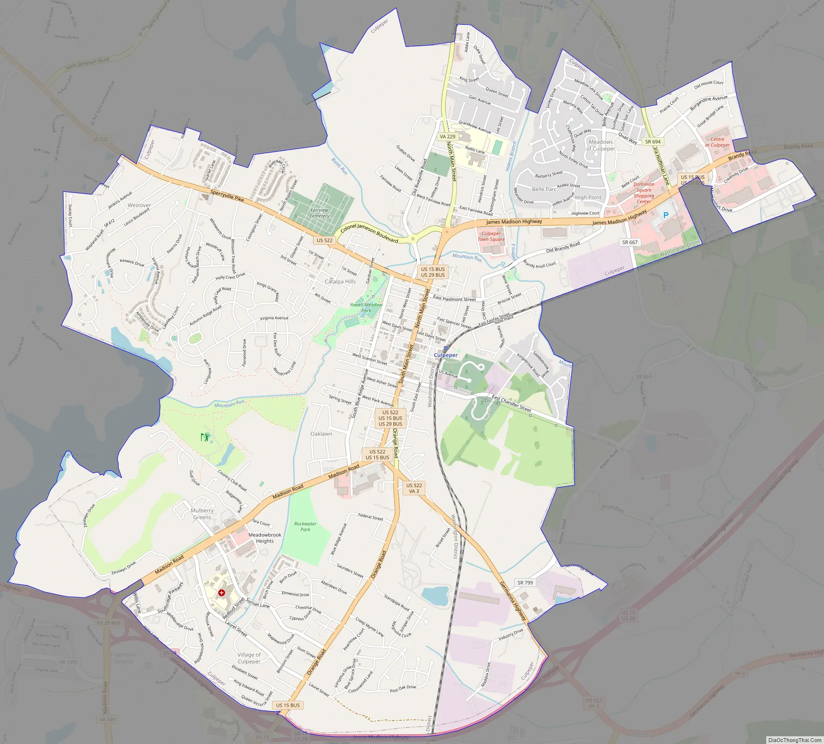
Culpeper Road Map
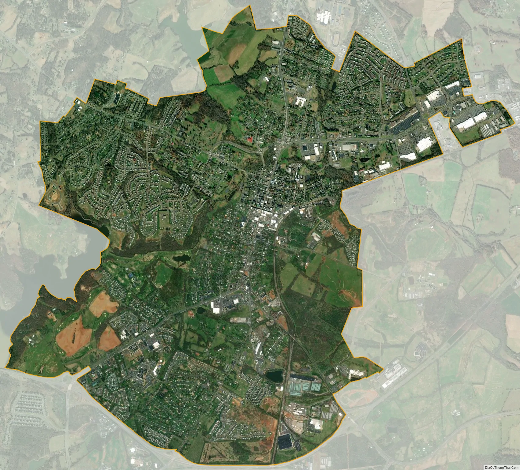
Culpeper city Satellite Map
Geography
Culpeper is located at 38°28′19″N 77°59′57″W / 38.47194°N 77.99917°W / 38.47194; -77.99917. According to the U.S. Census Bureau, the town has a total area of 7.31 square miles (18.9 km), of which 7.27 square miles (18.8 km) is land and 0.04 square mile (0.1 km) is water.
See also
Map of Virginia State and its subdivision:- Accomack
- Albemarle
- Alexandria
- Alleghany
- Amelia
- Amherst
- Appomattox
- Arlington
- Augusta
- Bath
- Bedford
- Bedford City
- Bland
- Botetourt
- Bristol
- Brunswick
- Buchanan
- Buckingham
- Buena Vista
- Campbell
- Caroline
- Carroll
- Charles City
- Charlotte
- Charlottesville
- Chesapeake
- Chesterfield
- Clarke
- Clifton Forge City
- Colonial Heights
- Covington
- Craig
- Culpeper
- Cumberland
- Danville
- Dickenson
- Dinwiddie
- Emporia
- Essex
- Fairfax
- Fairfax City
- Falls Church
- Fauquier
- Floyd
- Fluvanna
- Franklin
- Frederick
- Fredericksburg
- Galax
- Giles
- Gloucester
- Goochland
- Grayson
- Greene
- Greensville
- Halifax
- Hampton
- Hanover
- Harrisonburg
- Henrico
- Henry
- Highland
- Hopewell
- Isle of Wight
- James City
- King and Queen
- King George
- King William
- Lancaster
- Lee
- Lexington
- Loudoun
- Louisa
- Lunenburg
- Lynchburg
- Madison
- Manassas
- Manassas Park
- Martinsville
- Mathews
- Mecklenburg
- Middlesex
- Montgomery
- Nelson
- New Kent
- Newport News
- Norfolk
- Northampton
- Northumberland
- Norton
- Nottoway
- Orange
- Page
- Patrick
- Petersburg
- Pittsylvania
- Poquoson
- Portsmouth
- Powhatan
- Prince Edward
- Prince George
- Prince William
- Pulaski
- Radford
- Rappahannock
- Richmond
- Roanoke
- Roanoke City
- Rockbridge
- Rockingham
- Russell
- Salem
- Scott
- Shenandoah
- Smyth
- Southampton
- Spotsylvania
- Stafford
- Staunton
- Suffolk
- Surry
- Sussex
- Tazewell
- Virginia Beach
- Warren
- Washington
- Waynesboro
- Westmoreland
- Williamsburg
- Winchester
- Wise
- Wythe
- York
- Alabama
- Alaska
- Arizona
- Arkansas
- California
- Colorado
- Connecticut
- Delaware
- District of Columbia
- Florida
- Georgia
- Hawaii
- Idaho
- Illinois
- Indiana
- Iowa
- Kansas
- Kentucky
- Louisiana
- Maine
- Maryland
- Massachusetts
- Michigan
- Minnesota
- Mississippi
- Missouri
- Montana
- Nebraska
- Nevada
- New Hampshire
- New Jersey
- New Mexico
- New York
- North Carolina
- North Dakota
- Ohio
- Oklahoma
- Oregon
- Pennsylvania
- Rhode Island
- South Carolina
- South Dakota
- Tennessee
- Texas
- Utah
- Vermont
- Virginia
- Washington
- West Virginia
- Wisconsin
- Wyoming