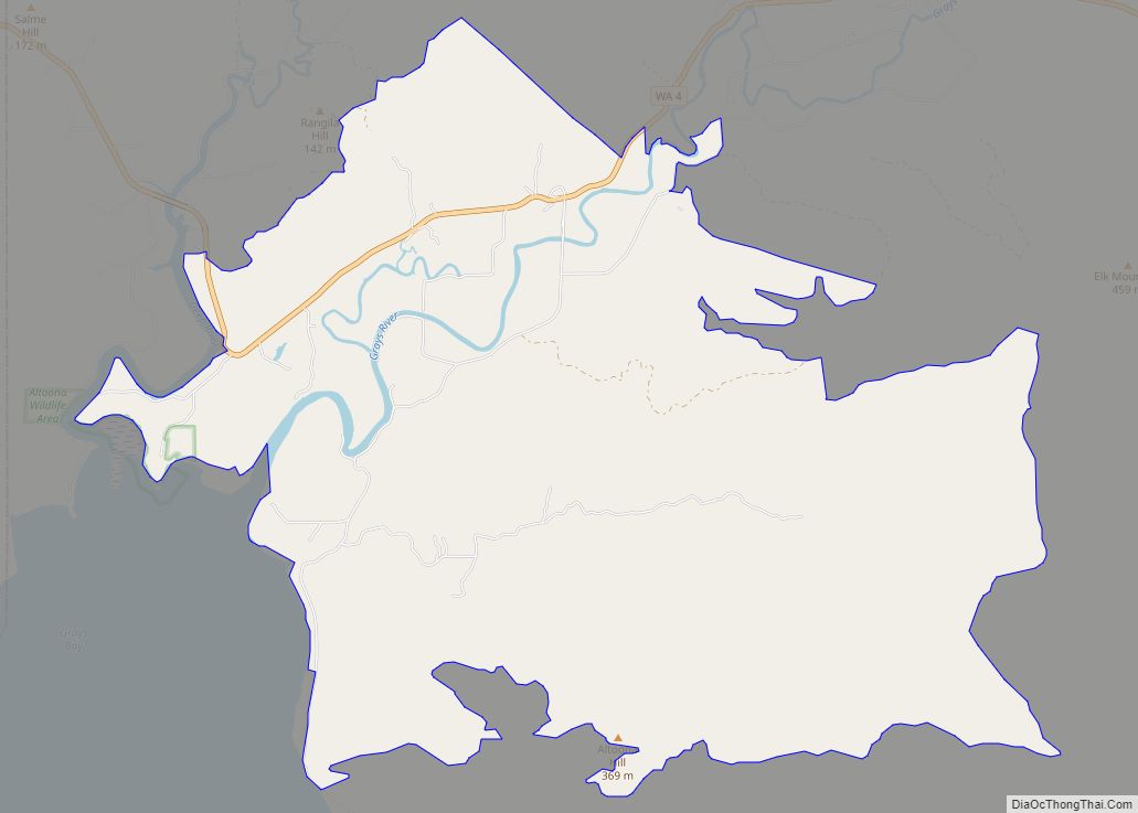
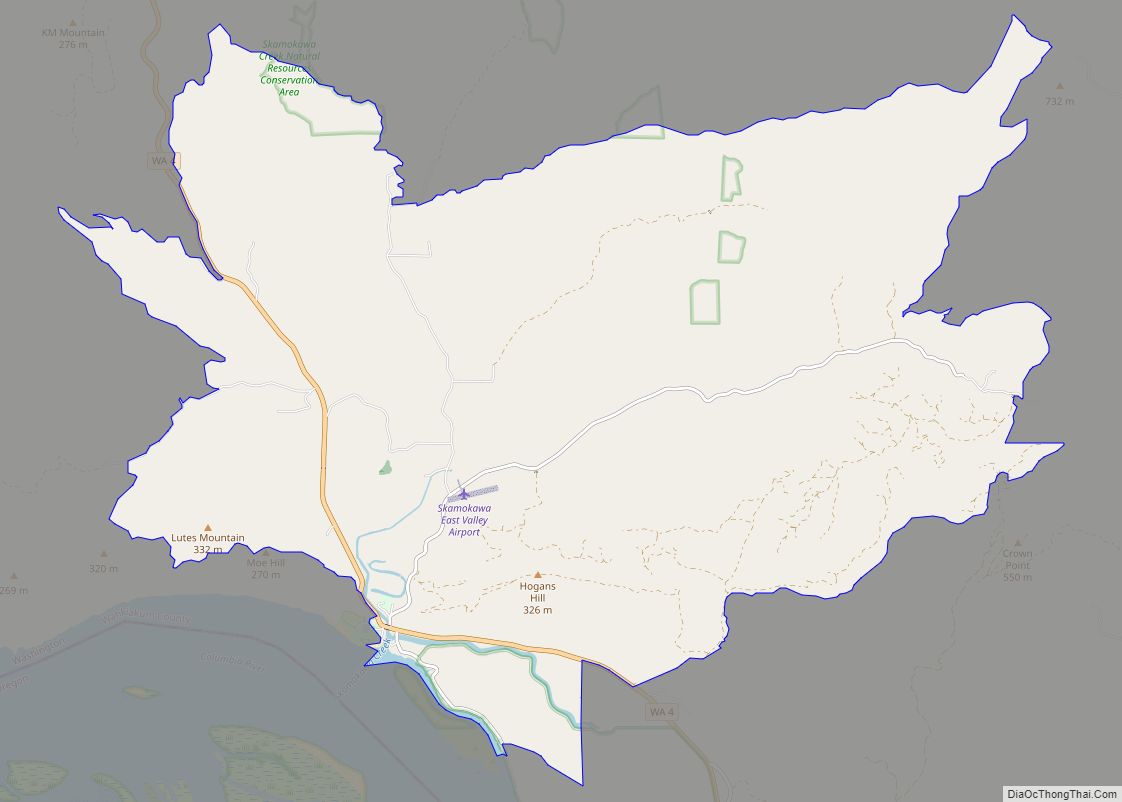
Salmon Creek is a census-designated place (CDP) in Clark County, Washington, United States. The population was 19,686 at the 2010 census, up from 16,767 at the 2000 census. Salmon Creek CDP overview: Name: Salmon Creek CDP LSAD Code: 57 LSAD Description: CDP (suffix) State: Washington County: Clark County Elevation: 164 ft (50 m) Total Area: 6.3 sq mi (16.4 km²) ... Read more
Washington Cities and Places
Spanaway is a census-designated place (CDP) in Pierce County, Washington, United States. The population was 35,476 at the 2020 census, up from 27,227 in 2010. Spanaway is an unincorporated area near Tacoma, and is often identified together with the more urban, less wealthy Parkland. Spanaway’s main business thoroughfare is Pacific Avenue South, which is a ... Read more
Silverdale is a census-designated place (CDP) in Kitsap County, Washington, in the United States. The population was 20,733 at the 2020 census. Despite many attempts at incorporation, Silverdale remains an unincorporated community. Silverdale ranks 158th among 522 areas in Washington for which per capita income data is collected. Silverdale CDP overview: Name: Silverdale CDP LSAD ... Read more
Southworth is an unincorporated community and census-designated place (CDP) on Puget Sound in Kitsap County, Washington, United States. It is best known for being the west end of the Fauntleroy-Vashon Island-Southworth Washington State Ferries run. Landmarks include Southworth Grocery, a US Post Office, ferry terminal, clay cliffs and a private beach on the point. Next ... Read more
Silver Firs is a census-designated place (CDP) in Snohomish County, Washington, United States. The population was 22,174 at the 2020 census. It lies northeast of the city of Mill Creek. Silver Firs is one of two CDPs that were created out of the former Seattle Hill-Silver Firs CDP in 2010, the other being Eastmont. Silver ... Read more
Silvana is a rural community and census-designated place (CDP) in Snohomish County, Washington, United States. Its population was 90 at the 2010 census. Silvana CDP overview: Name: Silvana CDP LSAD Code: 57 LSAD Description: CDP (suffix) State: Washington County: Snohomish County Elevation: 30 ft (9 m) Total Area: 1.5 sq mi (4.0 km²) Land Area: 1.5 sq mi (4.0 km²) Water Area: 0.0 sq mi ... Read more
South Prairie town overview: Name: South Prairie town LSAD Code: 43 LSAD Description: town (suffix) State: Washington County: Pierce County FIPS code: 5366045 Online Interactive Map South Prairie online map. Source: Basemap layers from Google Map, Open Street Map (OSM), Arcgisonline, Wmflabs. Boundary Data from Database of Global Administrative Areas. South Prairie location map. Where ... Read more
Shoreline is a city in King County, Washington, United States. It is located between the city limits of Seattle and the Snohomish County border, approximately 9 miles (14 km) north of Downtown Seattle. As of the 2020 census, the population of Shoreline was 58,608, making it the 22nd largest city in the state. Based on per ... Read more
South Hill is a census-designated place (CDP) in Pierce County, Washington, immediately south of Puyallup. The population was 64,708 at time of the 2020 census, up from 52,431 in 2010. The area primarily consists of suburban housing and shopping with several retail shopping centers, residential neighborhoods, and apartment/condo complexes throughout. Most commercial areas are located ... Read more
South Creek is a census-designated place located in Pierce County, Washington, United States. The population was 2,519 at the 2020 census. South Creek CDP overview: Name: South Creek CDP LSAD Code: 57 LSAD Description: CDP (suffix) State: Washington County: Pierce County Elevation: 394 ft (120 m) Total Area: 7.68 sq mi (19.89 km²) Land Area: 7.68 sq mi (19.89 km²) Water Area: 0.0 sq mi ... Read more
Soap Lake is a city in Grant County, Washington, on the shores of Soap Lake. The population was 1,691 at the 2020 census. Soap Lake city overview: Name: Soap Lake city LSAD Code: 25 LSAD Description: city (suffix) State: Washington County: Grant County Elevation: 1,106 ft (337 m) Total Area: 1.61 sq mi (4.16 km²) Land Area: 1.54 sq mi (3.98 km²) Water ... Read more
Snoqualmie (/snoʊˈkwɔːlmi/ snoh-KWAWL-mee) is a city next to Snoqualmie Falls in King County, Washington, United States. It is 28 miles (45 km) east of Seattle. Snoqualmie city is home to the Northwest Railway Museum. The population was 10,670 at the 2010 census and an estimated 13,622 in 2019. Many of the exterior shots for David Lynch’s ... Read more