Shoreline is a city in King County, Washington, United States. It is located between the city limits of Seattle and the Snohomish County border, approximately 9 miles (14 km) north of Downtown Seattle. As of the 2020 census, the population of Shoreline was 58,608, making it the 22nd largest city in the state. Based on per capita income, one of the more reliable measures of affluence, Shoreline ranks 91st of 522 areas in the state of Washington to be ranked.
| Name: | Shoreline city |
|---|---|
| LSAD Code: | 25 |
| LSAD Description: | city (suffix) |
| State: | Washington |
| County: | King County |
| Elevation: | 476 ft (145 m) |
| Total Area: | 12.44 sq mi (32.21 km²) |
| Land Area: | 11.63 sq mi (30.13 km²) |
| Water Area: | 0.80 sq mi (2.08 km²) |
| Total Population: | 58,608 |
| Population Density: | 4,901.33/sq mi (1,892.46/km²) |
| ZIP code: | 98133, 98155, 98177 |
| Area code: | 206 |
| FIPS code: | 5363960 |
| GNISfeature ID: | 1699810 |
| Website: | shorelinewa.gov |
Online Interactive Map
Click on ![]() to view map in "full screen" mode.
to view map in "full screen" mode.
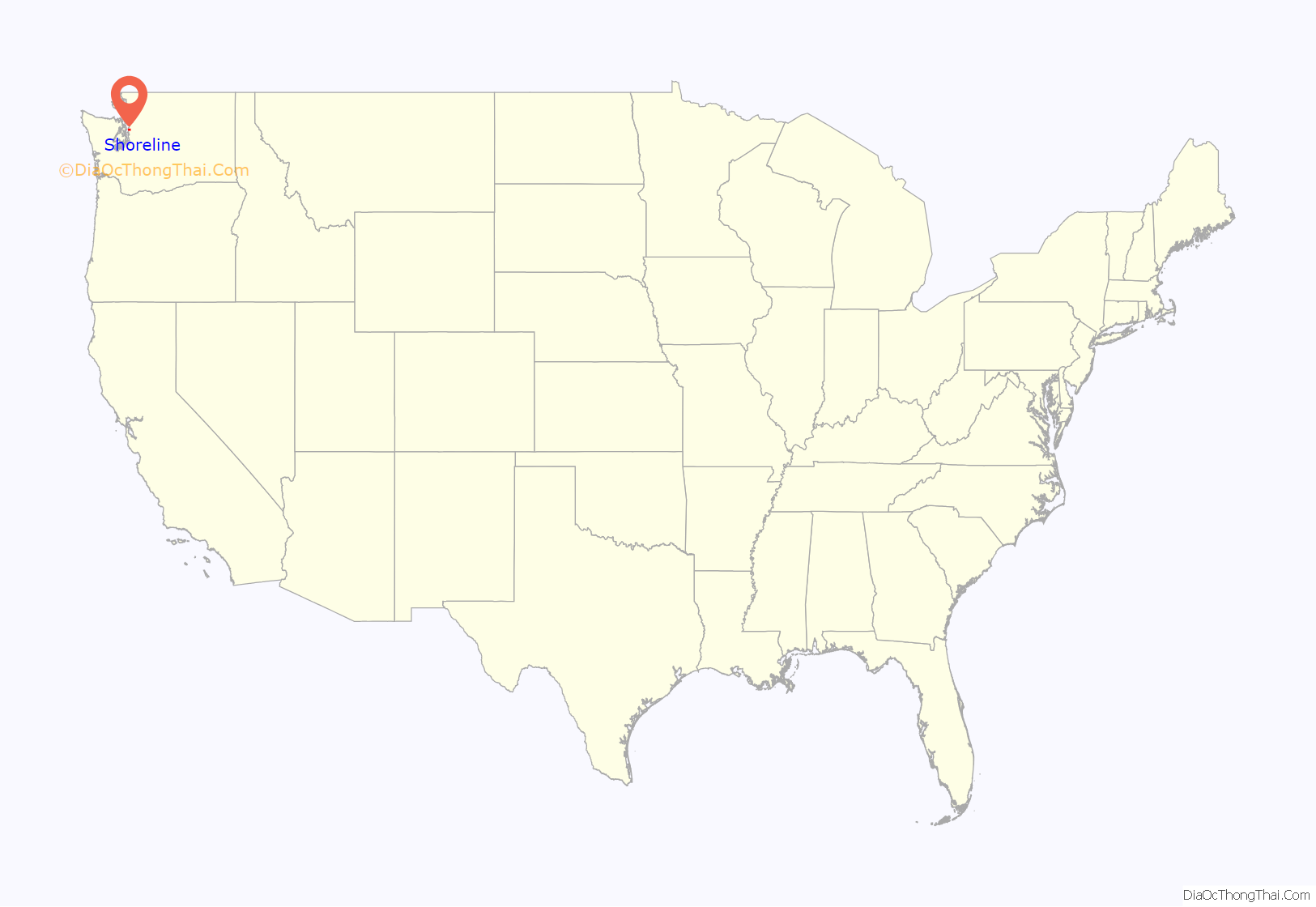
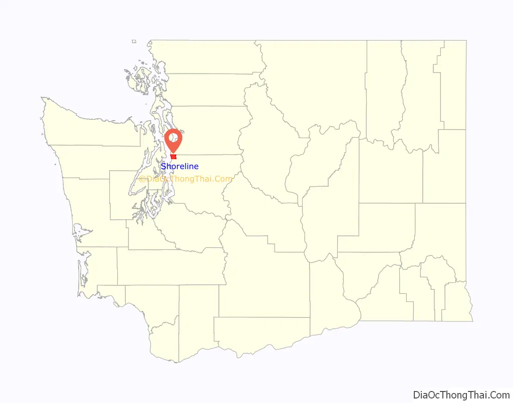
Shoreline location map. Where is Shoreline city?
History
Shoreline began in 1890 with the platting of the neighborhood of Richmond Beach, on Puget Sound, in anticipation of the arrival of the Great Northern Railway the next year. Over the next two decades, Shoreline was connected to Seattle via the Seattle-Everett Interurban streetcar line (1906) and North Trunk Road (now Aurora Avenue N., State Route 99) (1913), helping to increase its population.
The name “Shoreline” was applied to this stretch of unincorporated King County in 1944 when it was given to the school district, since the school district boundaries stretched from “Shore to Shore” (Puget Sound to Lake Washington) and “Line to Line” (the old Seattle city limit of 85th St to the Snohomish County Line). Though the modern borders of the city do not stretch to Lake Washington, the area has kept the “Shoreline” name.
After the incorporation of Lake Forest Park in 1961, the remainder of the Shoreline School District remained an unincorporated portion of King County. The school district remained the main identifier for the area for several decades; a set of welcome signs were installed in 1983 by the Shoreline Chamber of Commerce bearing the name. The City of Seattle began studying an annexation of the area in 1988, causing local residents to organize an incorporation measure to retain their separate school system. A half-century after it had been named, on August 31, 1995, Shoreline was officially incorporated as a code city, and it adopted the council–manager form of government.
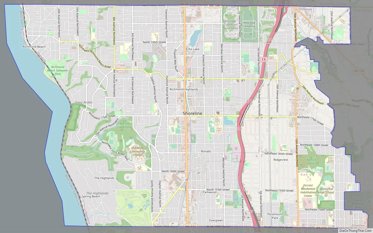
Shoreline Road Map
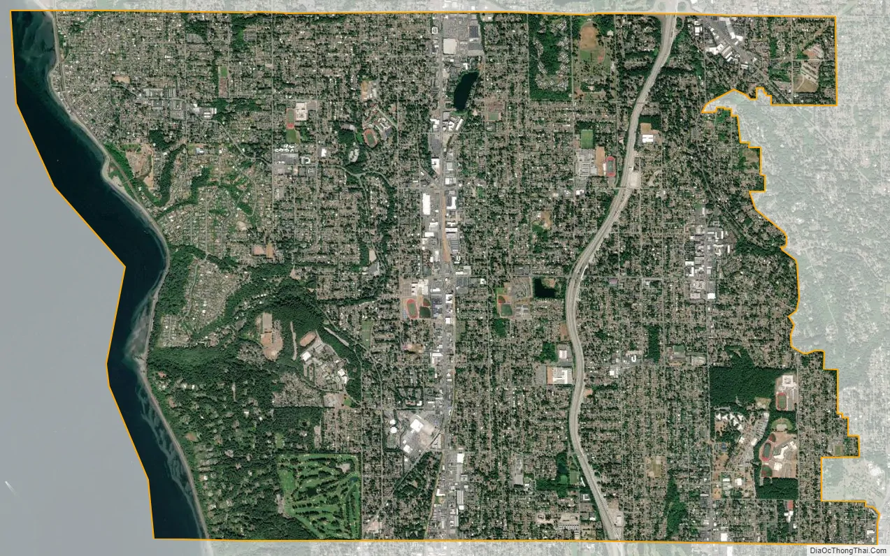
Shoreline city Satellite Map
Geography
Shoreline is located at 47°45′23″N 122°20′23″W / 47.75639°N 122.33972°W / 47.75639; -122.33972 (47.756519, -122.339657).
According to the United States Census Bureau, the city has a total area of 11.70 square miles (30.30 km), of which, 11.67 square miles (30.23 km) is land and 0.03 square miles (0.08 km) is water. The city of Shoreline also contains a gated community, The Highlands, which manages its utilities separately from Shoreline. The Richmond Beach neighborhood occupies the northwest corner of the city, around 47°46′10″N 122°23′24″W / 47.7695415°N 122.3901313°W / 47.7695415; -122.3901313.
Shoreline’s 25 parks hold a total of 330 acres (130 ha) of park land. Boeing Creek and Shoreview Park, which abuts Shoreline Community College, contains Boeing Creek, flowing on its way to Hidden Lake and Puget Sound.
See also
Map of Washington State and its subdivision:- Adams
- Asotin
- Benton
- Chelan
- Clallam
- Clark
- Columbia
- Cowlitz
- Douglas
- Ferry
- Franklin
- Garfield
- Grant
- Grays Harbor
- Island
- Jefferson
- King
- Kitsap
- Kittitas
- Klickitat
- Lewis
- Lincoln
- Mason
- Okanogan
- Pacific
- Pend Oreille
- Pierce
- San Juan
- Skagit
- Skamania
- Snohomish
- Spokane
- Stevens
- Thurston
- Wahkiakum
- Walla Walla
- Whatcom
- Whitman
- Yakima
- Alabama
- Alaska
- Arizona
- Arkansas
- California
- Colorado
- Connecticut
- Delaware
- District of Columbia
- Florida
- Georgia
- Hawaii
- Idaho
- Illinois
- Indiana
- Iowa
- Kansas
- Kentucky
- Louisiana
- Maine
- Maryland
- Massachusetts
- Michigan
- Minnesota
- Mississippi
- Missouri
- Montana
- Nebraska
- Nevada
- New Hampshire
- New Jersey
- New Mexico
- New York
- North Carolina
- North Dakota
- Ohio
- Oklahoma
- Oregon
- Pennsylvania
- Rhode Island
- South Carolina
- South Dakota
- Tennessee
- Texas
- Utah
- Vermont
- Virginia
- Washington
- West Virginia
- Wisconsin
- Wyoming


