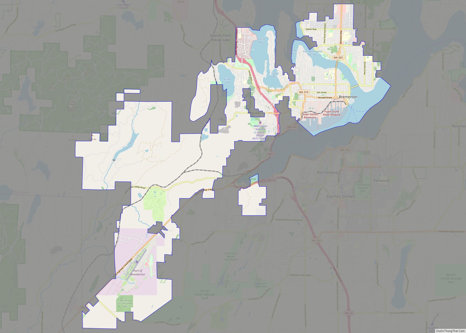
Southworth is an unincorporated community and census-designated place (CDP) on Puget Sound in Kitsap County, Washington, United States. It is best known for being the west end of the Fauntleroy-Vashon Island-Southworth Washington State Ferries run. Landmarks include Southworth Grocery, a US Post Office, ferry terminal, clay cliffs and a private beach on the point. Next to the ferry is a popular place to launch kayaks for trips to nearby Blake Island. The population of the Southworth CDP was 2,185 at the 2010 census.
| Name: | Southworth CDP |
|---|---|
| LSAD Code: | 57 |
| LSAD Description: | CDP (suffix) |
| State: | Washington |
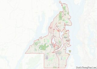
| County: | Kitsap County |
| Elevation: | 49 ft (15 m) |
| Total Area: | 3.39 sq mi (8.77 km²) |
| Land Area: | 3.37 sq mi (8.74 km²) |
| Water Area: | 0.008 sq mi (0.02 km²) |
| Total Population: | 2,185 |
| Population Density: | 647/sq mi (250.0/km²) |
| ZIP code: | 98386 |
| FIPS code: | 5366220 |
| GNISfeature ID: | 1512679 |
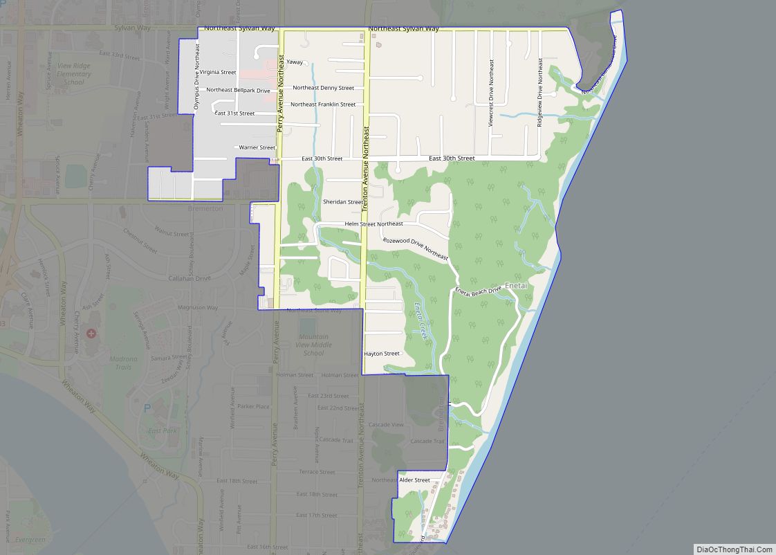
Online Interactive Map
Click on ![]() to view map in "full screen" mode.
to view map in "full screen" mode.
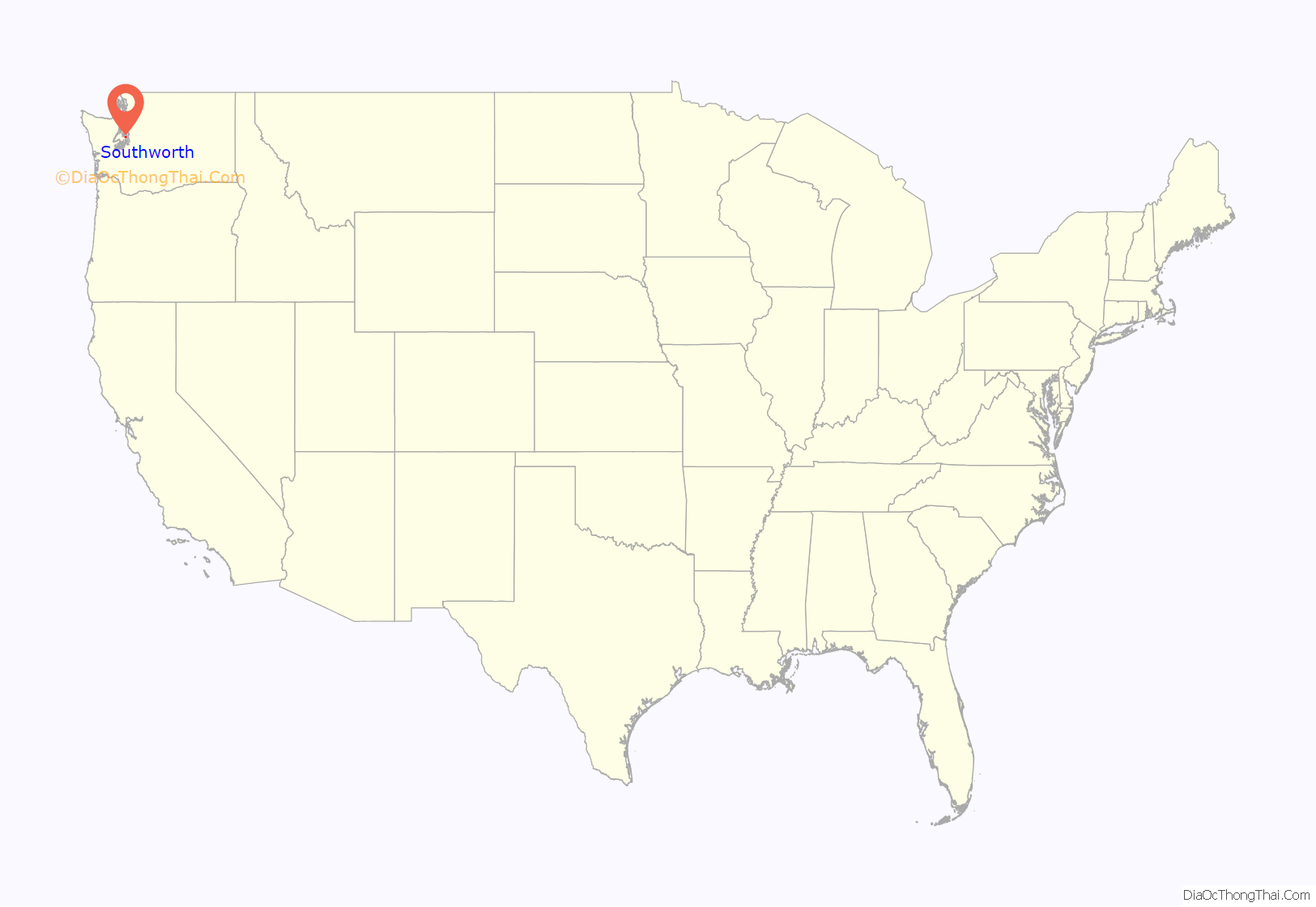
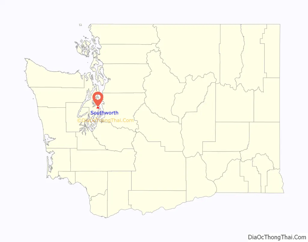
Southworth location map. Where is Southworth CDP?
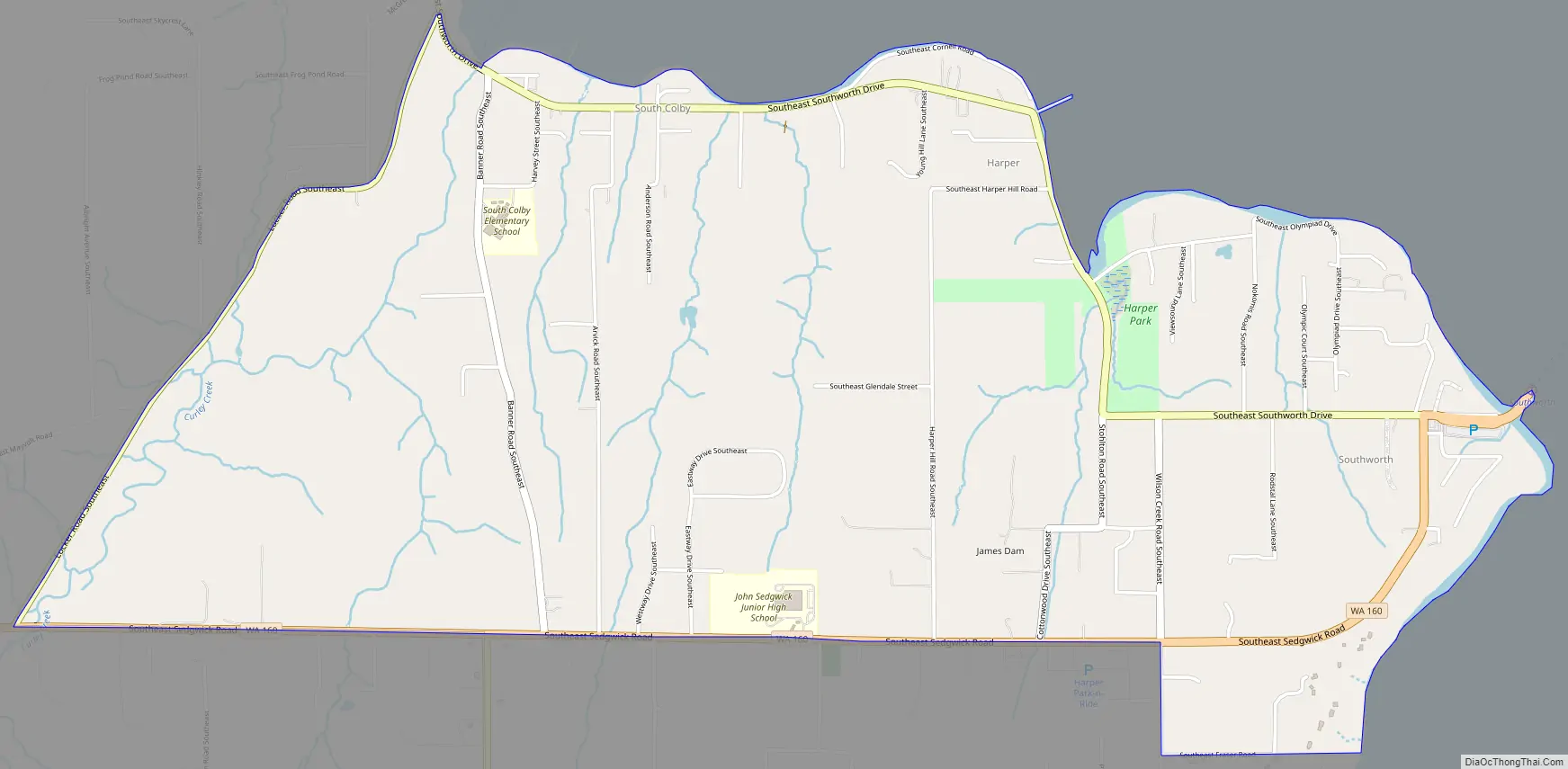
Southworth Road Map
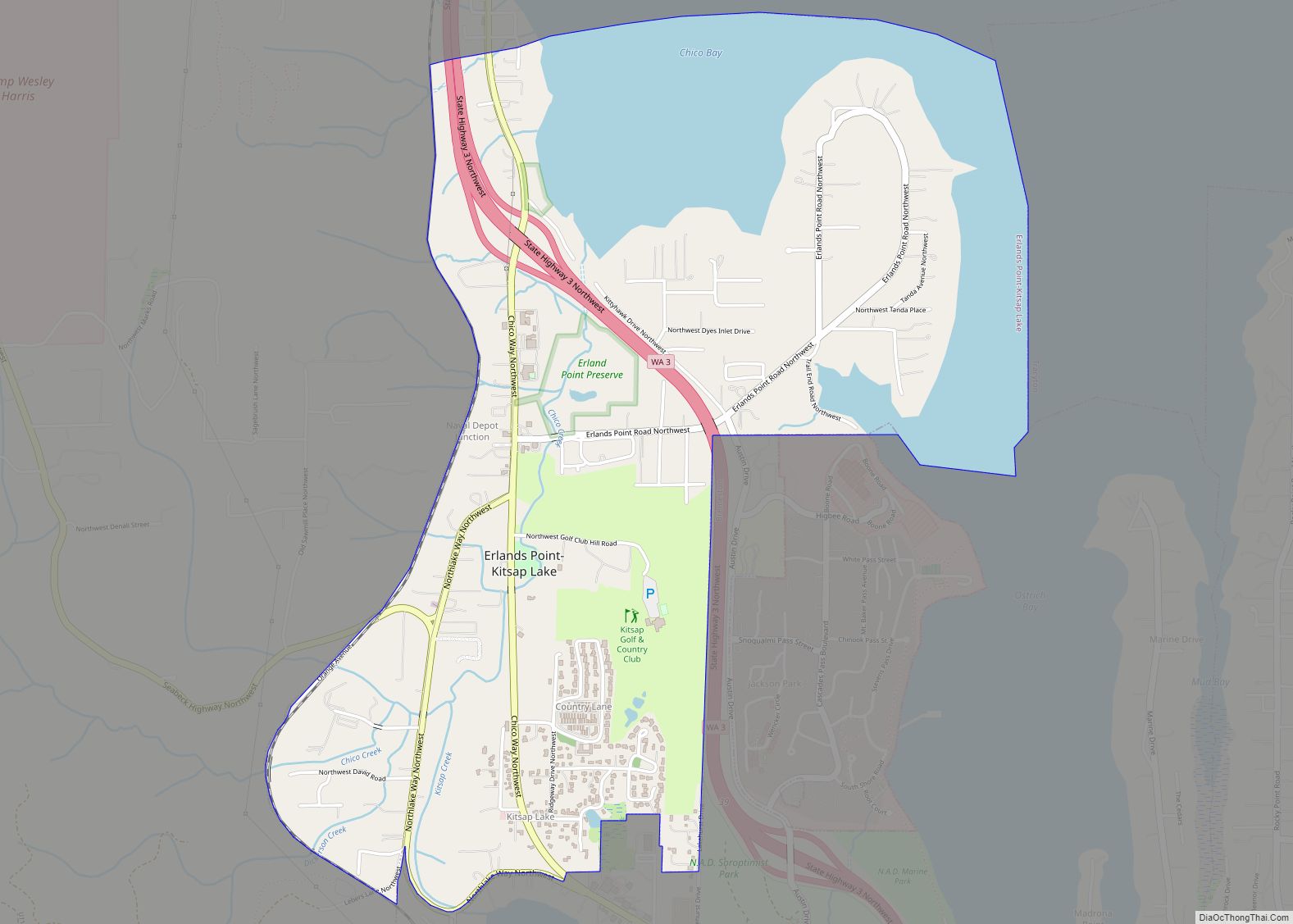
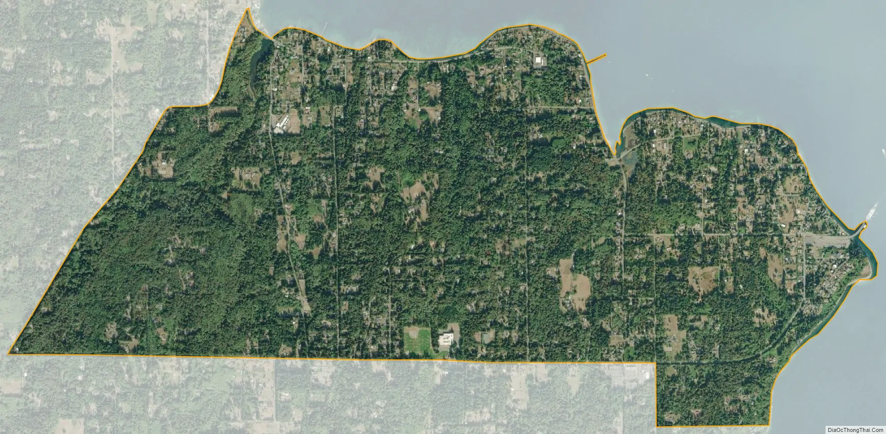
Southworth city Satellite Map
Geography
Southworth is in southeastern Kitsap County on the shore of Puget Sound, with the CDP limits extending southwest from Point Southworth 0.5 miles (0.80 km) along Colvos Passage and northwest from Point Southworth 2.5 miles (4.0 km) to Yukon Harbor. The CDP includes the communities of Southworth, Harper, and South Colby. Washington State Route 160 is the southern edge of the CDP and leads west 7 miles (11 km) to State Route 16 in the southern outskirts of Port Orchard.
Point Southworth was named by Charles Wilkes, during the Wilkes Expedition of 1838–1842, in honor of Edward Southworth, one of the expedition’s quartermasters.
According to the U.S. Census Bureau, the Southworth CDP has a total area of 3.39 square miles (8.77 km), of which 0.01 square miles (0.02 km), or 0.28%, are water.
See also
Map of Washington State and its subdivision:- Adams
- Asotin
- Benton
- Chelan
- Clallam
- Clark
- Columbia
- Cowlitz
- Douglas
- Ferry
- Franklin
- Garfield
- Grant
- Grays Harbor
- Island
- Jefferson
- King
- Kitsap
- Kittitas
- Klickitat
- Lewis
- Lincoln
- Mason
- Okanogan
- Pacific
- Pend Oreille
- Pierce
- San Juan
- Skagit
- Skamania
- Snohomish
- Spokane
- Stevens
- Thurston
- Wahkiakum
- Walla Walla
- Whatcom
- Whitman
- Yakima
- Alabama
- Alaska
- Arizona
- Arkansas
- California
- Colorado
- Connecticut
- Delaware
- District of Columbia
- Florida
- Georgia
- Hawaii
- Idaho
- Illinois
- Indiana
- Iowa
- Kansas
- Kentucky
- Louisiana
- Maine
- Maryland
- Massachusetts
- Michigan
- Minnesota
- Mississippi
- Missouri
- Montana
- Nebraska
- Nevada
- New Hampshire
- New Jersey
- New Mexico
- New York
- North Carolina
- North Dakota
- Ohio
- Oklahoma
- Oregon
- Pennsylvania
- Rhode Island
- South Carolina
- South Dakota
- Tennessee
- Texas
- Utah
- Vermont
- Virginia
- Washington
- West Virginia
- Wisconsin
- Wyoming