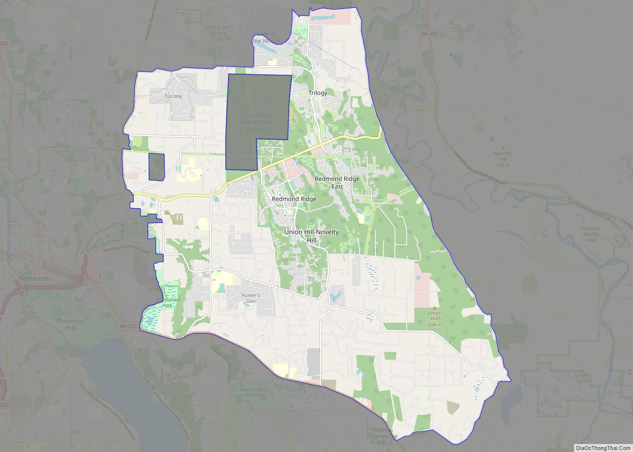
Union Hill-Novelty Hill is a census-designated place (CDP) in King County, Washington, United States. The area was first recognized by the Census Bureau in the 2000 census. The population was 18,805 at the 2010 census. Based on per capita income, Union Hill-Novelty Hill ranks 5th of 522 areas in the state of Washington to be ... Read more
Washington Cities and Places
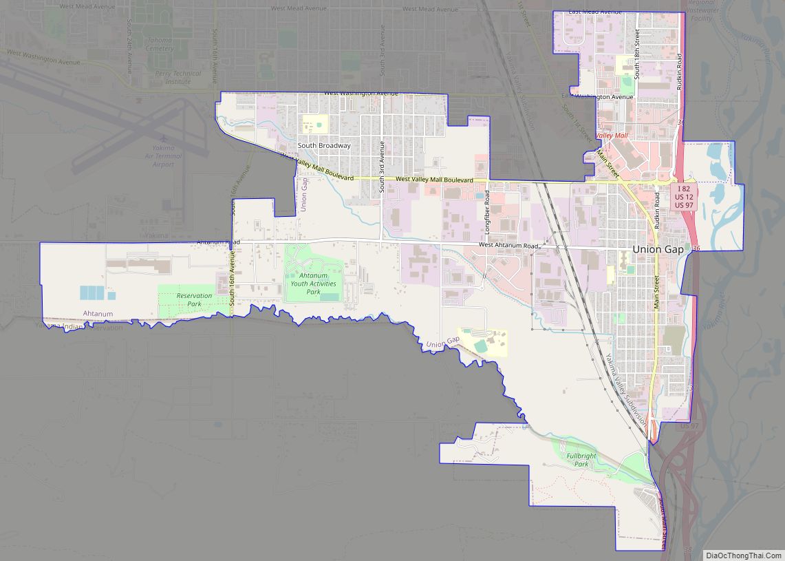
Union Gap is a city in Yakima County, Washington, United States. As of the 2020 census, the city population was 6,568. Union Gap has become the retail hub for the entire Yakima Valley as a result of Valley Mall and other thriving businesses being located here. Part of the city is part of the Yakama ... Read more
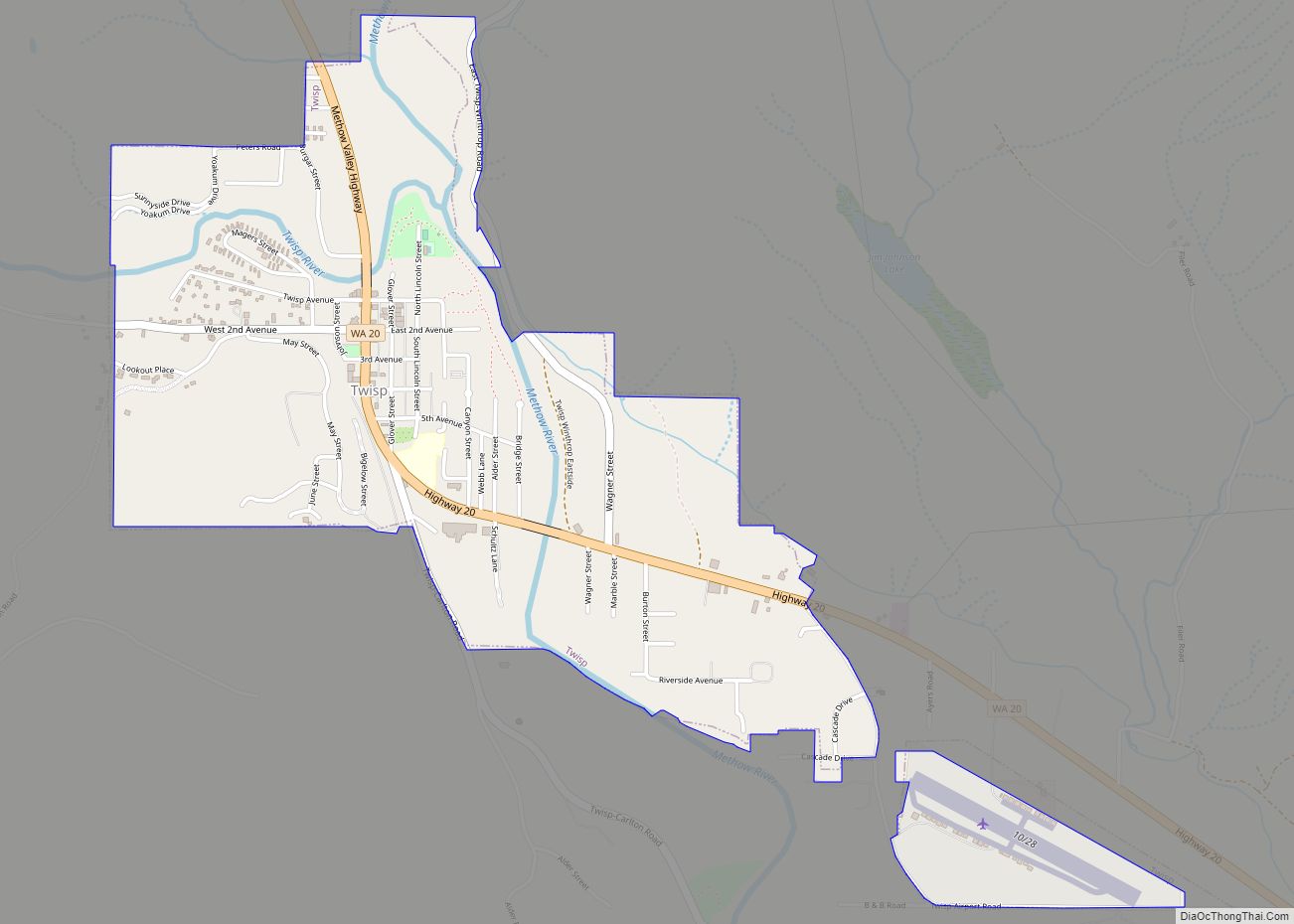
Twisp town overview: Name: Twisp town LSAD Code: 43 LSAD Description: town (suffix) State: Washington County: Okanogan County FIPS code: 5373080 Online Interactive Map Twisp online map. Source: Basemap layers from Google Map, Open Street Map (OSM), Arcgisonline, Wmflabs. Boundary Data from Database of Global Administrative Areas. Twisp location map. Where is Twisp town? Twisp ... Read more
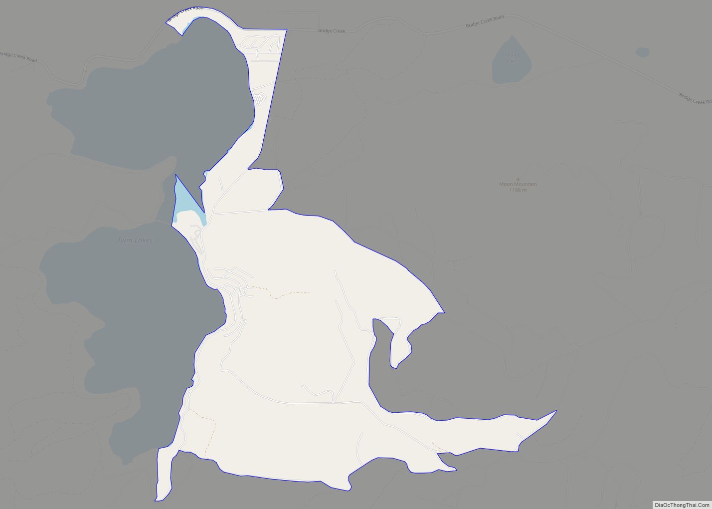
Twin Lakes is a census-designated place in Ferry County, Washington, United States. Twin Lakes CDP overview: Name: Twin Lakes CDP LSAD Code: 57 LSAD Description: CDP (suffix) State: Washington County: Ferry County Elevation: 2,590 ft (790 m) Total Area: 4.2 sq mi (10.8 km²) Land Area: 4.2 sq mi (10.8 km²) Water Area: 0.0 sq mi (0.0 km²) Total Population: 59 Population Density: 14/sq mi (5.5/km²) Area ... Read more
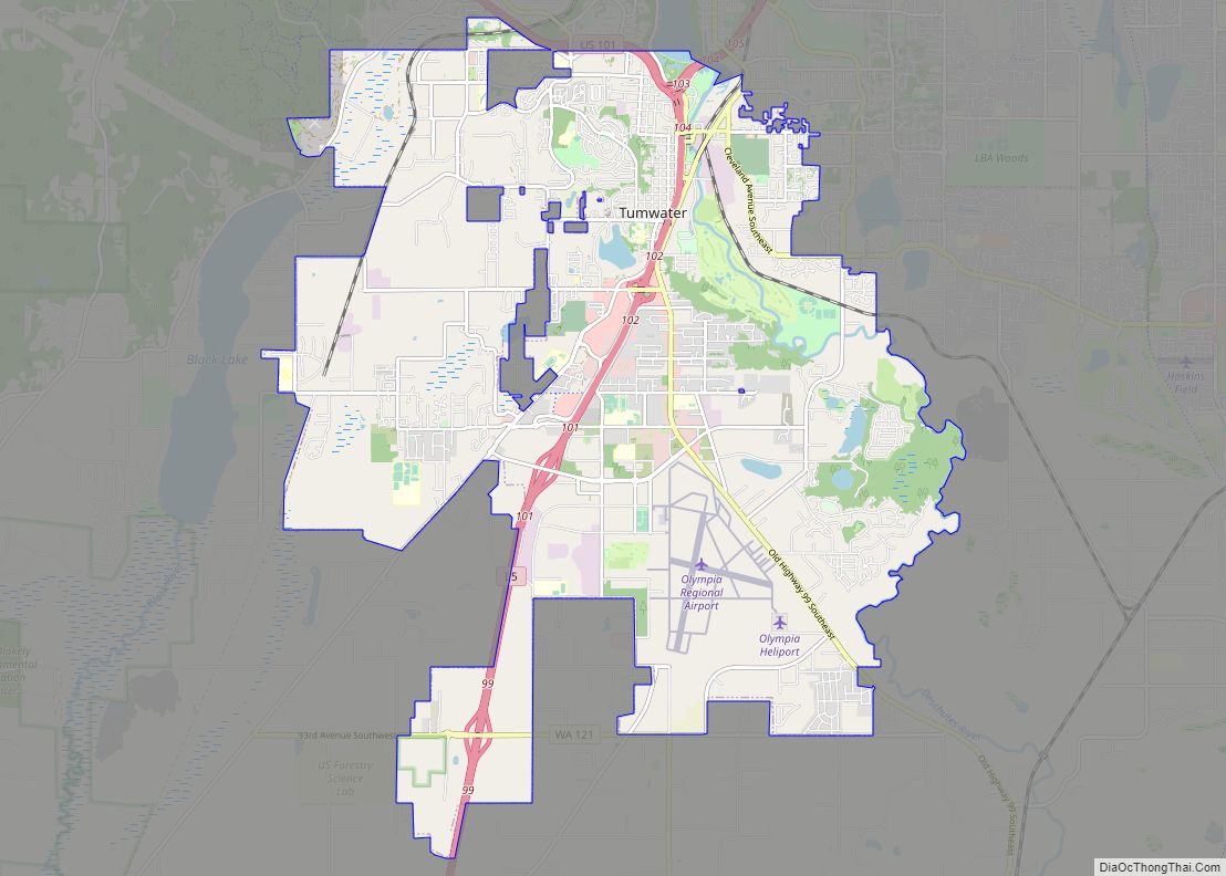
Tumwater is a city in Thurston County, Washington, United States. The population was 25,350 at the 2020 census. The city is situated near where the Deschutes River enters Budd Inlet, the southernmost point of Puget Sound; it also borders the state capital of Olympia to the north. Tumwater is the oldest permanent Anglo-American settlement on ... Read more
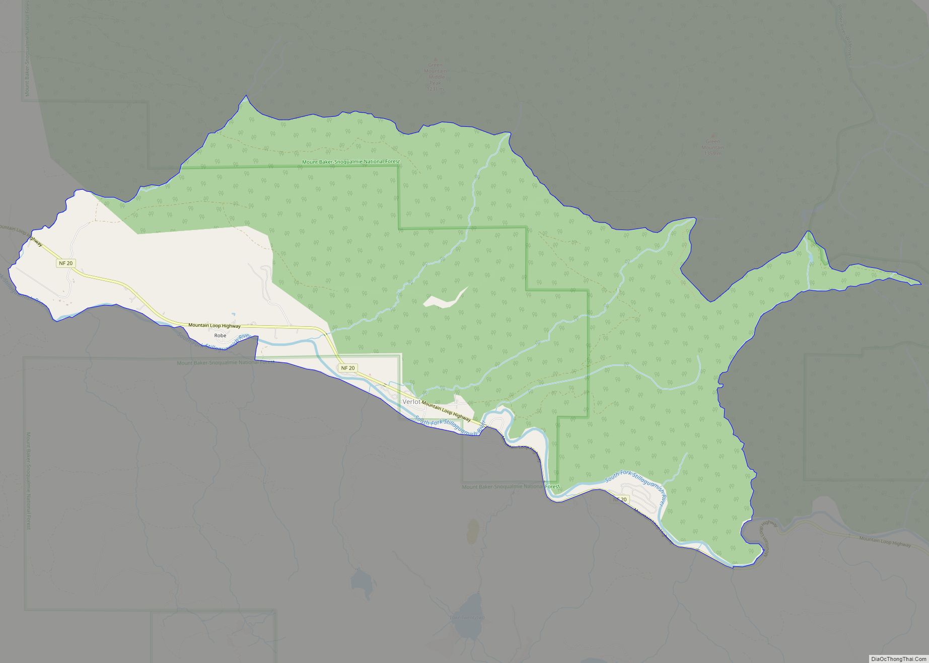
Verlot is a census-designated place (CDP) in Snohomish County, Washington, United States. The population was 285 at the 2010 census. Verlot CDP overview: Name: Verlot CDP LSAD Code: 57 LSAD Description: CDP (suffix) State: Washington County: Snohomish County Elevation: 965 ft (294 m) Total Area: 6.5 sq mi (16.8 km²) Land Area: 6.4 sq mi (16.5 km²) Water Area: 0.1 sq mi (0.4 km²) Total Population: ... Read more
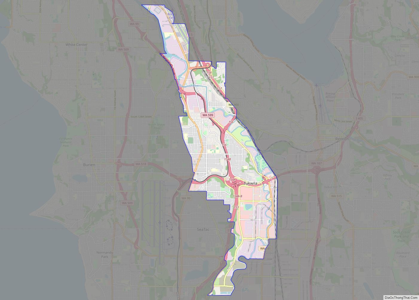
Tukwila (/tʌkˈwɪlə/ tuk-WIL-ə) is a suburban city in King County, Washington, United States, located immediately to the south of Seattle. The population was 21,798 at the 2020 census. Tukwila is a community of communities, with residents of many diverse origins living in the city. A large commercial center draws workers and consumers to the city ... Read more
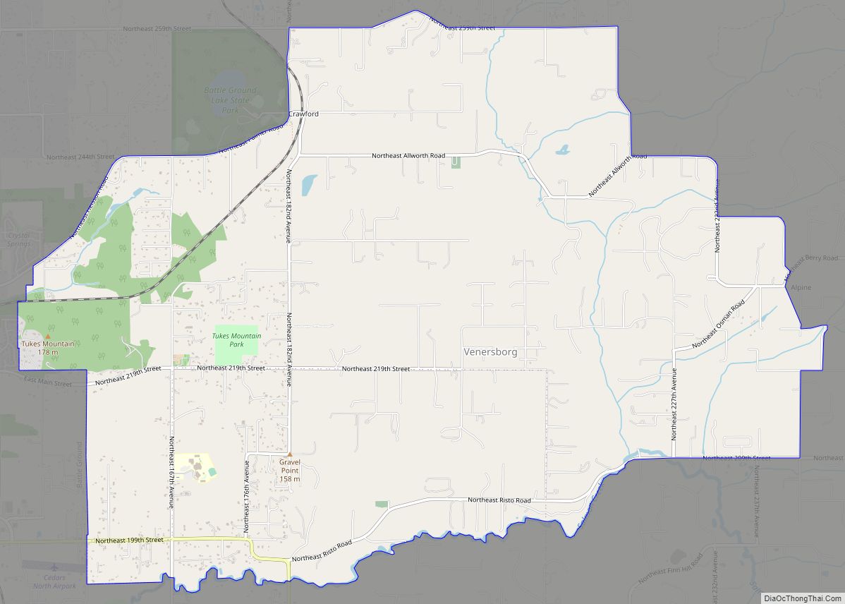
Venersborg is a census-designated place (CDP) in Clark County, Washington, United States. The population was 3,745 at the 2010 census, up from 3,274 at the 2000 census. Venersborg CDP overview: Name: Venersborg CDP LSAD Code: 57 LSAD Description: CDP (suffix) State: Washington County: Clark County Elevation: 509 ft (155 m) Total Area: 10.9 sq mi (28.3 km²) Land Area: 10.9 sq mi ... Read more
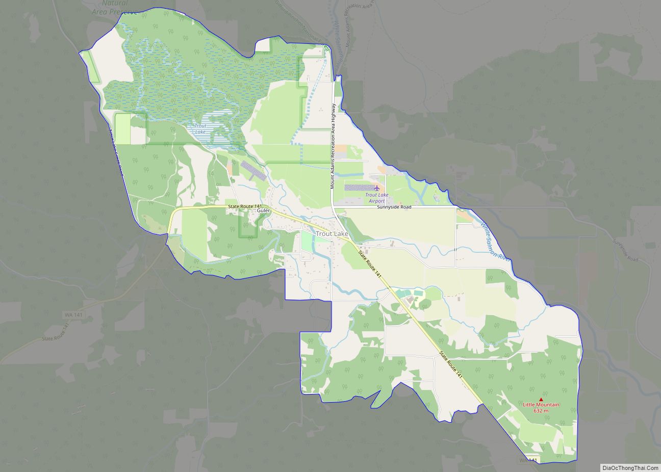
Trout Lake is an unincorporated community and census-designated place (CDP) in Klickitat County, Washington, United States. The population was 557 at the 2010 census. The town is notable for its organic dairy and herb farms, and as an access point to Mount Adams and the Gifford Pinchot National Forest. Trout Lake CDP overview: Name: Trout ... Read more
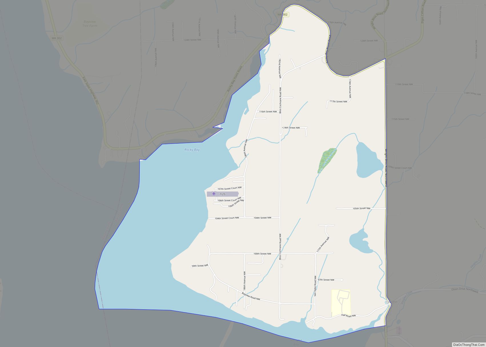
Vaughn is a census-designated place and unincorporated community in Pierce County, Washington, United States. Vaughn is located on Vaughn Bay in the northwestern Key Peninsula. Vaughn has a post office with ZIP code 98394. Vaughn was named for W.D. Vaughn, who settled in the area around 1851. Vaughn was once an important port for the ... Read more
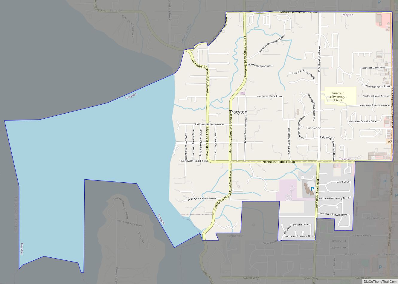
Tracyton is a census-designated place (CDP) in Kitsap County, Washington, United States. Its population was 5,233 at the 2010 census. It was named for 19th century Secretary of the Navy Benjamin F. Tracy. Tracyton CDP overview: Name: Tracyton CDP LSAD Code: 57 LSAD Description: CDP (suffix) State: Washington County: Kitsap County Elevation: 89 ft (27 m) Total ... Read more
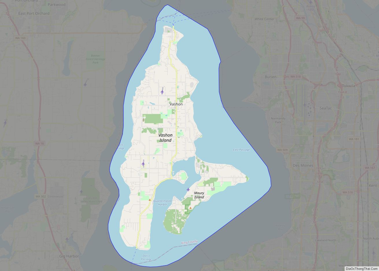
Vashon is a census-designated place (CDP) in King County, Washington, United States. It covers an island alternately called Vashon Island or Vashon–Maury Island, the largest island in Puget Sound south of Admiralty Inlet. The population was 10,624 at the 2010 census and the size is 36.9 square miles (95.6 km). The island is connected to West ... Read more
