Venersborg is a census-designated place (CDP) in Clark County, Washington, United States. The population was 3,745 at the 2010 census, up from 3,274 at the 2000 census.
| Name: | Venersborg CDP |
|---|---|
| LSAD Code: | 57 |
| LSAD Description: | CDP (suffix) |
| State: | Washington |
| County: | Clark County |
| Elevation: | 509 ft (155 m) |
| Total Area: | 10.9 sq mi (28.3 km²) |
| Land Area: | 10.9 sq mi (28.3 km²) |
| Water Area: | 0.0 sq mi (0.0 km²) |
| Total Population: | 3,745 |
| Population Density: | 343/sq mi (132.6/km²) |
| FIPS code: | 5374585 |
| GNISfeature ID: | 1527695 |
Online Interactive Map
Click on ![]() to view map in "full screen" mode.
to view map in "full screen" mode.
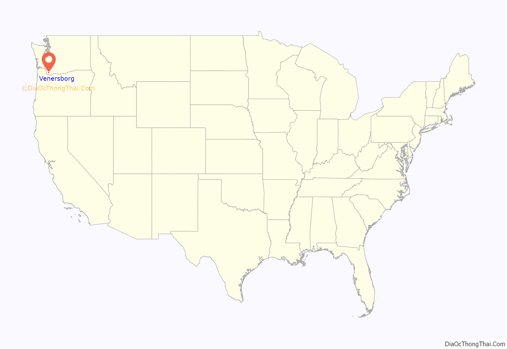
Venersborg location map. Where is Venersborg CDP?

History
The community was established as “Venner’s Villas” in the late 19th and early 20th centuries when a land entrepreneur named J. C. Lanerberg purchased land from various sources (the government, the railroad, and other landowners). He divided the land into 10-acre (40,000 m) lots, and marketed it in large urban areas throughout the United States, highlighting its resemblance to rural Sweden. The flyers were written in Swedish so, predictably, the first settlers who arrived in the early 1900s were mostly of Swedish ancestry. The growth of nearby Vancouver and Portland led to an influx of new residents in the 1960s.
The land was originally heavily timbered. A number of farms and orchards were established in the early 20th century, some of which still exist. Some old farm orchards have old heirloom apple varieties including some rare ones.
The community is still rural. There are only three non-residential buildings in town. The single commercial establishment, the Venersborg Store, reopened in 2008 but closed back up in 2013.
The members of the Venersborg Community Club take care of the Venersborg Schoolhouse which was built in 1912. This one-room schoolhouse is on the National Register of Historic Places and the Washington State Heritage Register. It is the oldest continuously operating community building in the state of Washington. The schoolhouse is the location for many annual events: the Sweethearts’ Dance in February, Spring Potluck, December Wreath Making party, Spring Seed Swap & Giveaway. All Venersborg residents are invited to these events and encouraged to volunteer.
The Venersborg Church is a small and lively independent community church. Every Independence Day, they hold a small gathering.
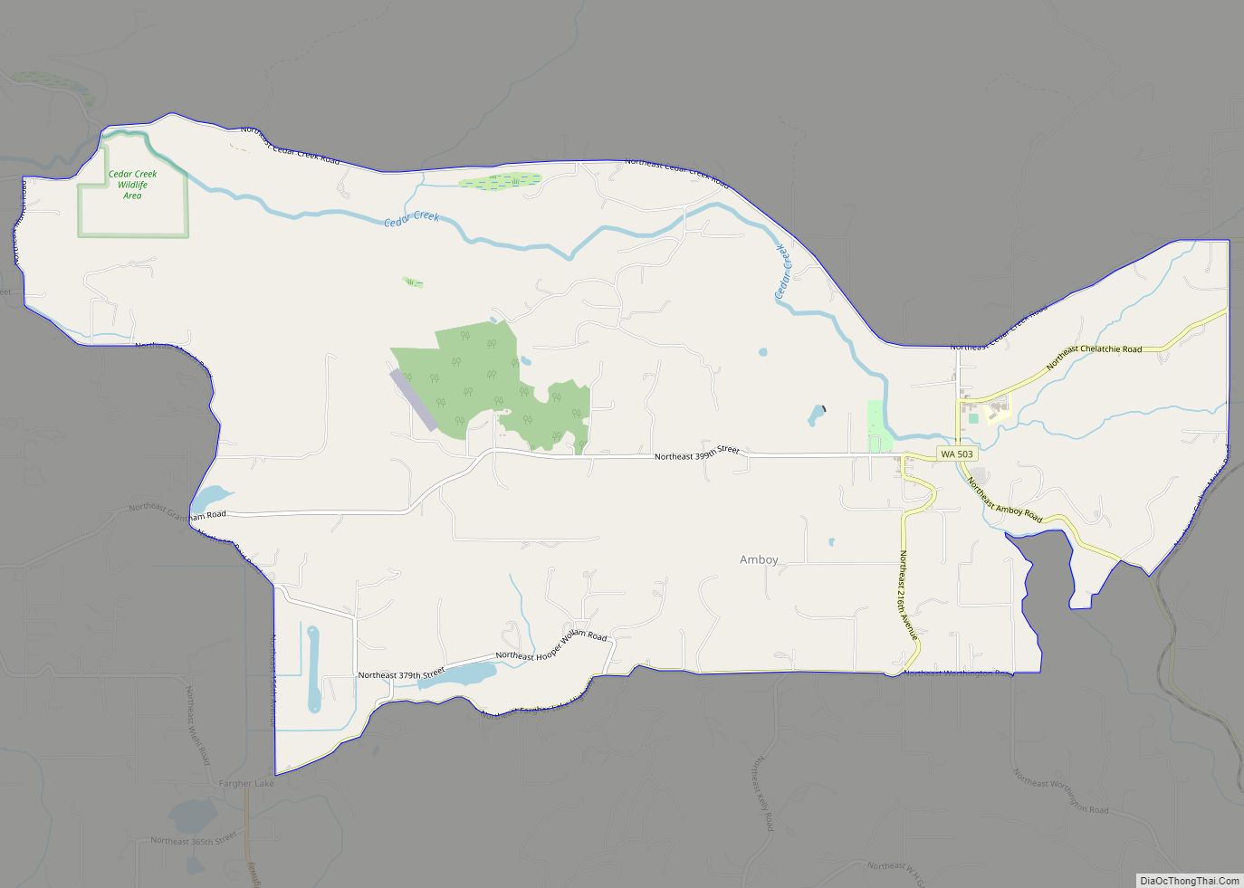
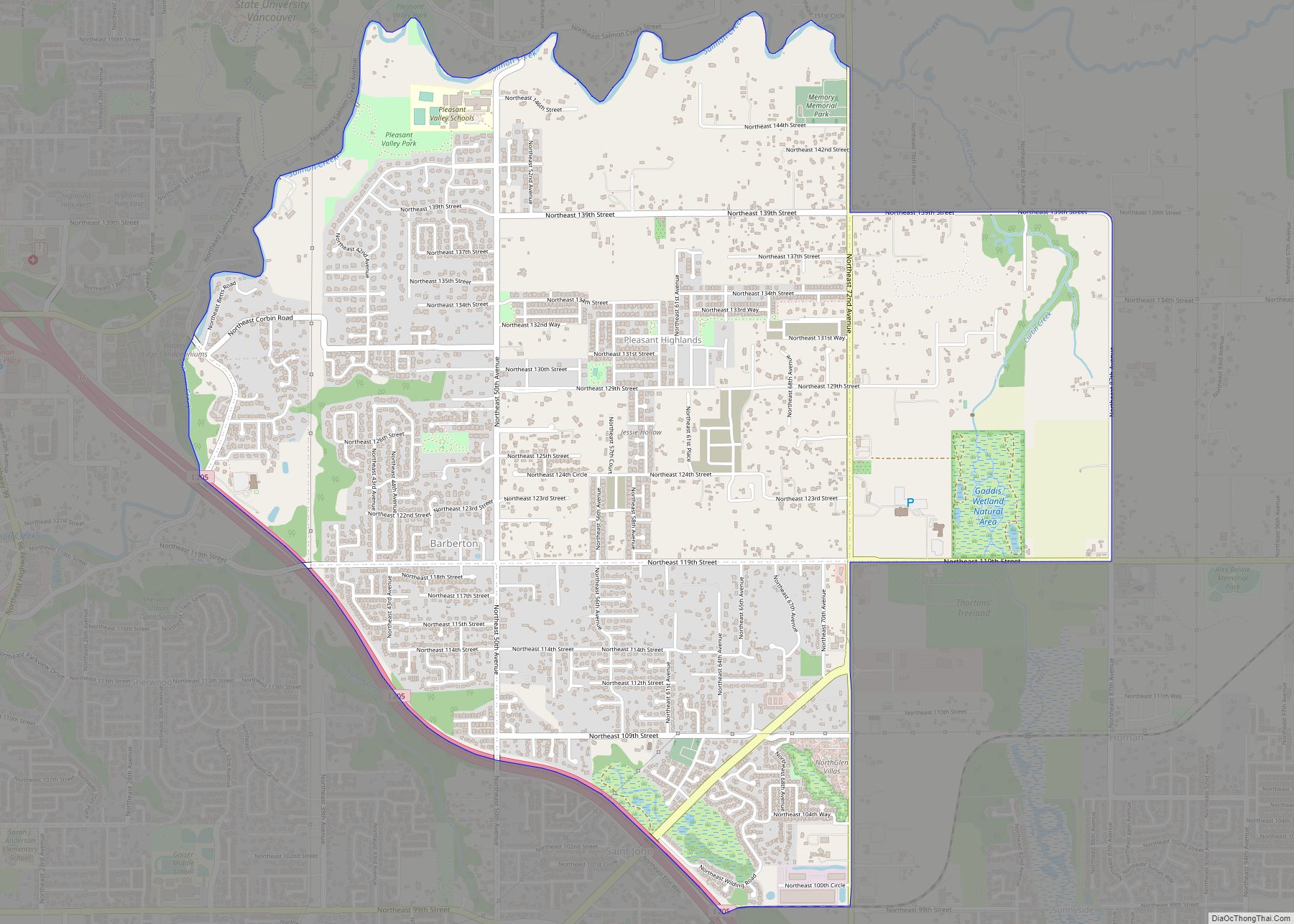
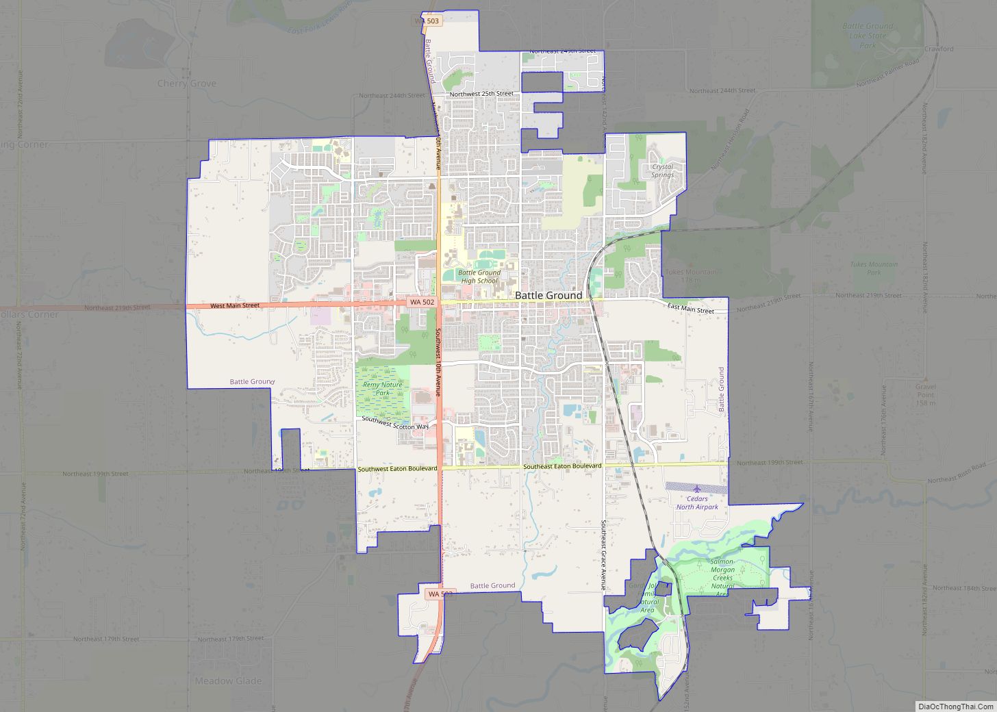
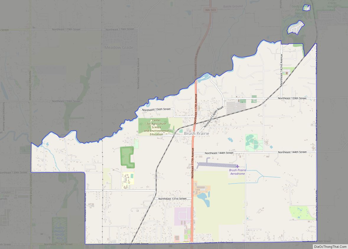
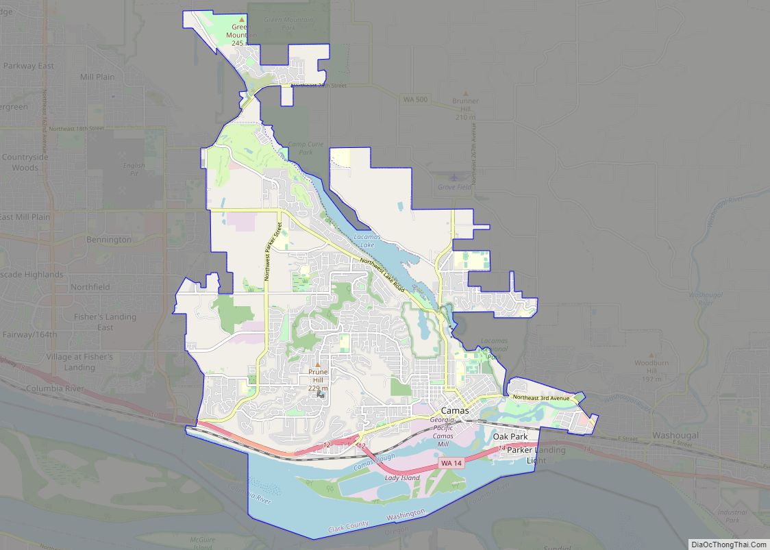
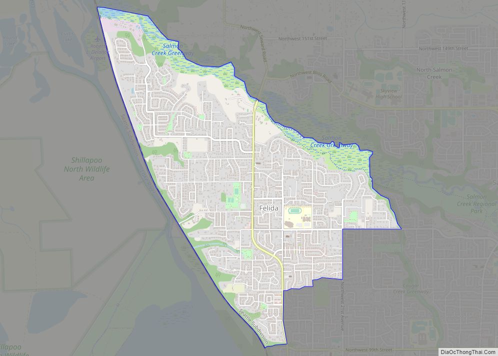
Venersborg Road Map
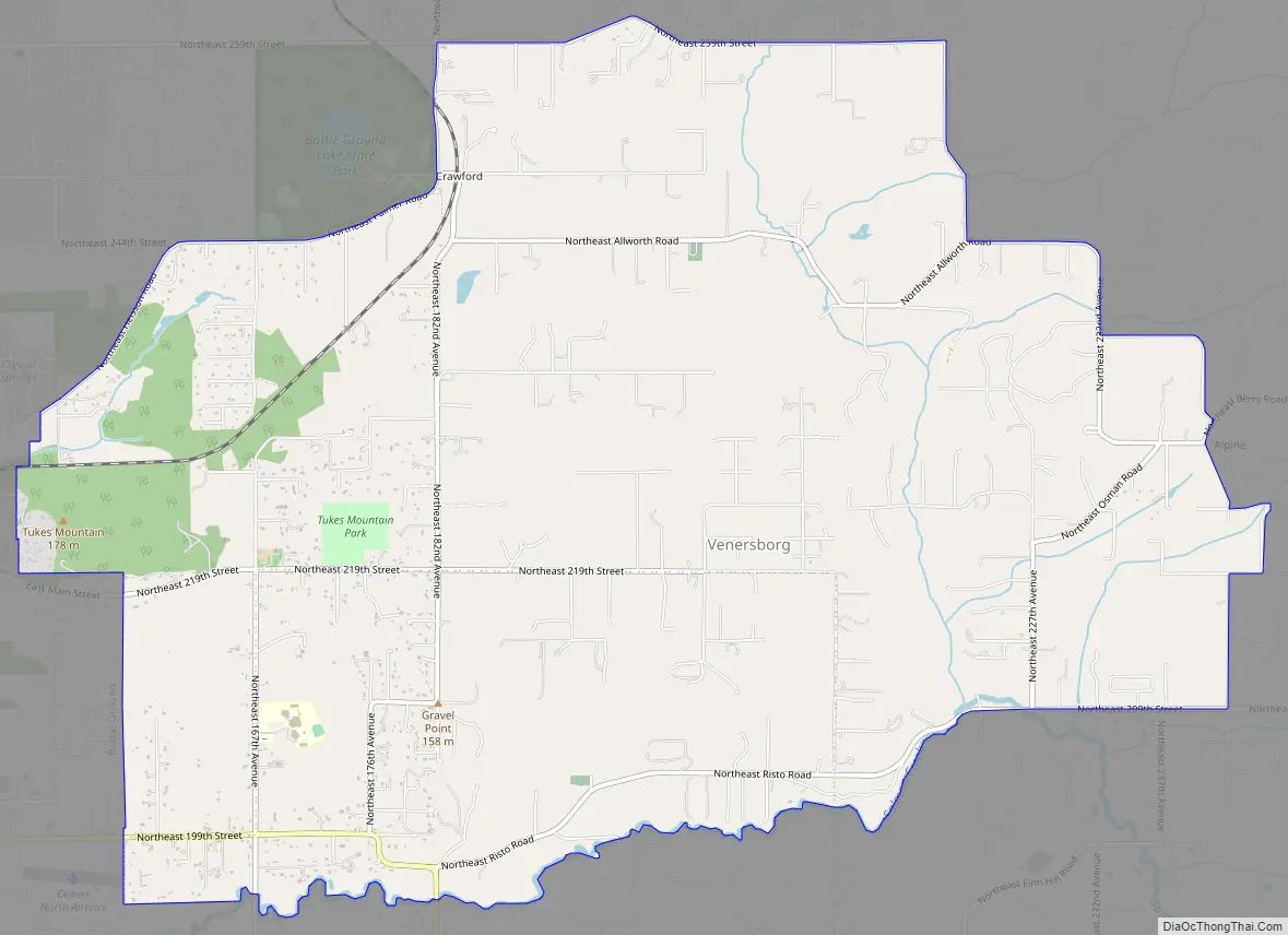
Venersborg city Satellite Map

Geography
Venersborg is located in central Clark County at 45°46′58″N 122°27′43″W / 45.78278°N 122.46194°W / 45.78278; -122.46194 (45.782723, -122.462052). It is bordered to the northwest by Lewisville, to the west by the city of Battle Ground, and to the south by Salmon Creek, with the community of Hockinson across it from the southwest portion of Venersborg.
According to the United States Census Bureau, the Venersborg CDP has a total area of 10.9 square miles (28.3 km), all of it land.
See also
Map of Washington State and its subdivision:- Adams
- Asotin
- Benton
- Chelan
- Clallam
- Clark
- Columbia
- Cowlitz
- Douglas
- Ferry
- Franklin
- Garfield
- Grant
- Grays Harbor
- Island
- Jefferson
- King
- Kitsap
- Kittitas
- Klickitat
- Lewis
- Lincoln
- Mason
- Okanogan
- Pacific
- Pend Oreille
- Pierce
- San Juan
- Skagit
- Skamania
- Snohomish
- Spokane
- Stevens
- Thurston
- Wahkiakum
- Walla Walla
- Whatcom
- Whitman
- Yakima
- Alabama
- Alaska
- Arizona
- Arkansas
- California
- Colorado
- Connecticut
- Delaware
- District of Columbia
- Florida
- Georgia
- Hawaii
- Idaho
- Illinois
- Indiana
- Iowa
- Kansas
- Kentucky
- Louisiana
- Maine
- Maryland
- Massachusetts
- Michigan
- Minnesota
- Mississippi
- Missouri
- Montana
- Nebraska
- Nevada
- New Hampshire
- New Jersey
- New Mexico
- New York
- North Carolina
- North Dakota
- Ohio
- Oklahoma
- Oregon
- Pennsylvania
- Rhode Island
- South Carolina
- South Dakota
- Tennessee
- Texas
- Utah
- Vermont
- Virginia
- Washington
- West Virginia
- Wisconsin
- Wyoming