Tumwater is a city in Thurston County, Washington, United States. The population was 25,350 at the 2020 census. The city is situated near where the Deschutes River enters Budd Inlet, the southernmost point of Puget Sound; it also borders the state capital of Olympia to the north. Tumwater is the oldest permanent Anglo-American settlement on Puget Sound.
| Name: | Tumwater city |
|---|---|
| LSAD Code: | 25 |
| LSAD Description: | city (suffix) |
| State: | Washington |
| County: | Thurston County |
| Incorporated: | November 25, 1869 |
| Elevation: | 174 ft (53 m) |
| Total Area: | 17.76 sq mi (46.00 km²) |
| Land Area: | 17.50 sq mi (45.32 km²) |
| Water Area: | 0.26 sq mi (0.67 km²) |
| Total Population: | 25,350 |
| Population Density: | 1,372.80/sq mi (530.04/km²) |
| ZIP code: | 98501, 98511, 98512 |
| Area code: | 360 |
| FIPS code: | 5372905 |
| GNISfeature ID: | 1512742 |
| Website: | ci.tumwater.wa.us |
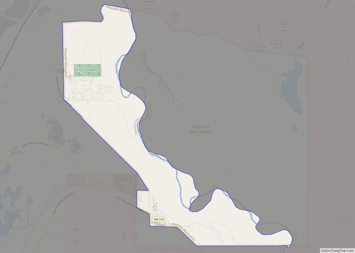
Online Interactive Map
Click on ![]() to view map in "full screen" mode.
to view map in "full screen" mode.
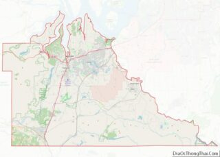
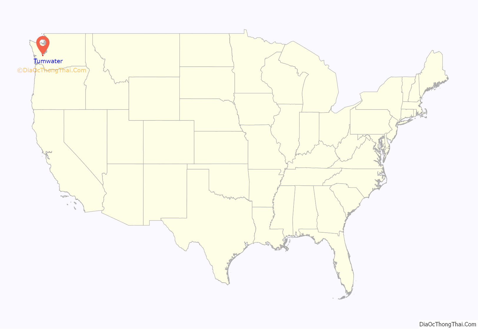
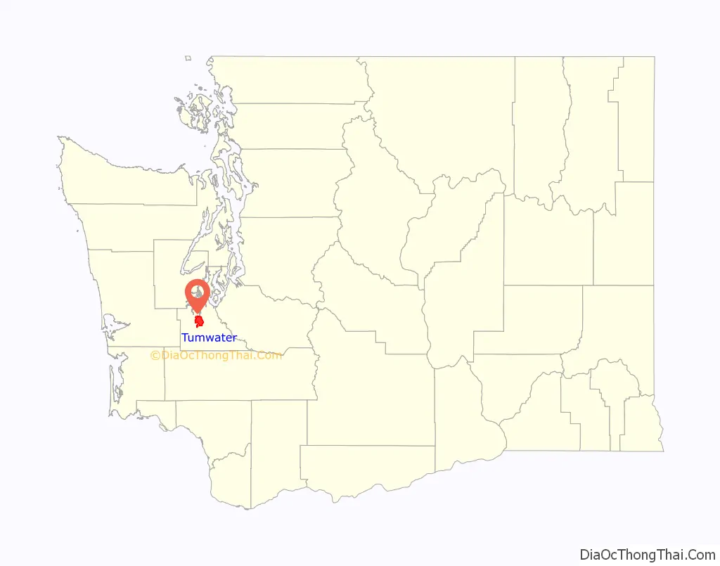
Tumwater location map. Where is Tumwater city?
History
The site of Tumwater and Tumwater Falls has been home to Southern Lushootseed-speaking peoples known as the Steh-Chass / Stehchass or Statca’sabsh (a subtribe of the Sahewamish (Sahe’wabsh), an subgroup of the Nisqually people; who became part of the post-treaty Squaxin Island Tribe) for thousands of years. “Steh-Chass” is the Lushootseed name for Budd Inlet, Deschutes River and the Tumwater Falls area, and for an important village of the Statca’sabsh.
The city incorporated in 1875.
The construction of Interstate 5, which was completed in 1958, required the demolition of 100 buildings in downtown Tumwater. Major businesses had already relocated northeast to Tumwater Square, which remains a local shopping center. The Tumwater Historic District was listed on the National Register of Historic Places in 1978 to preserve remnants of downtown amid plans to widen Interstate 5.
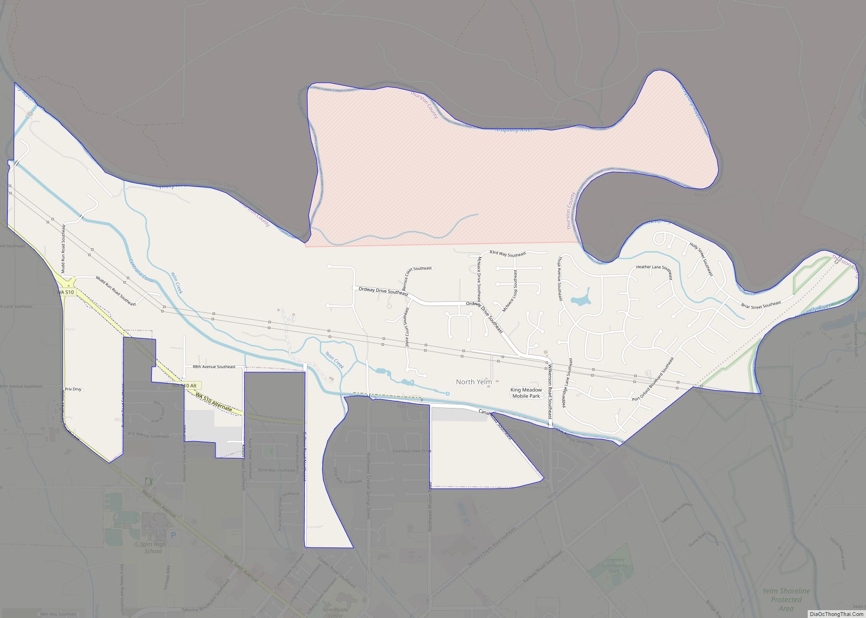
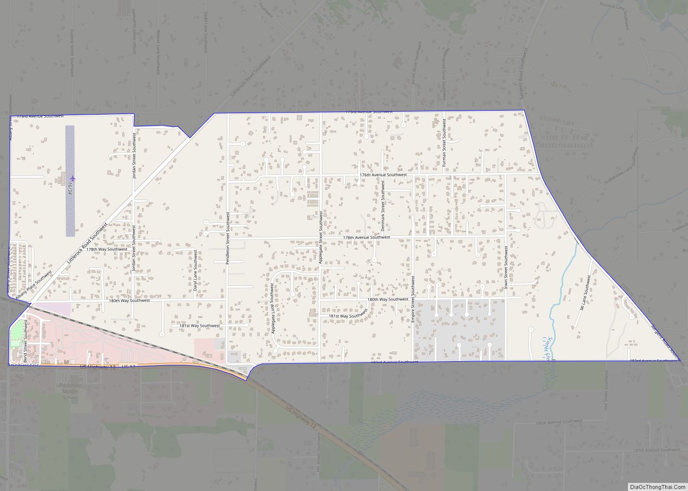
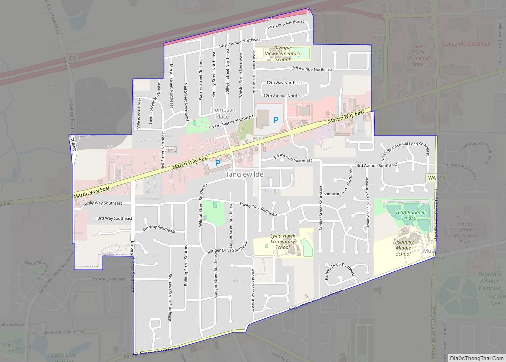
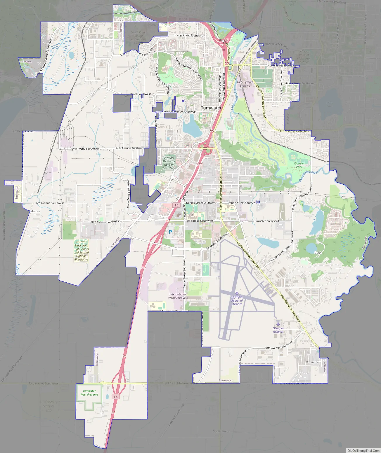
Tumwater Road Map
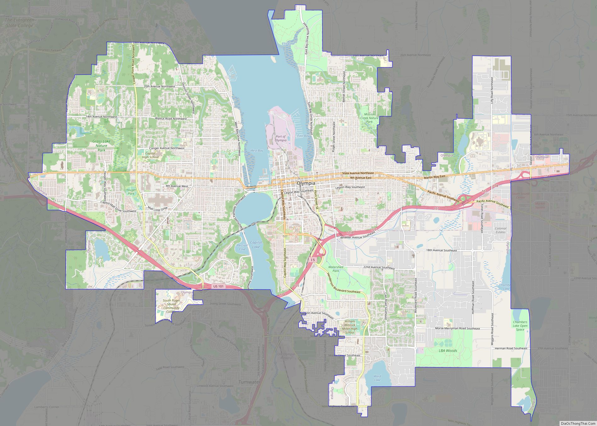
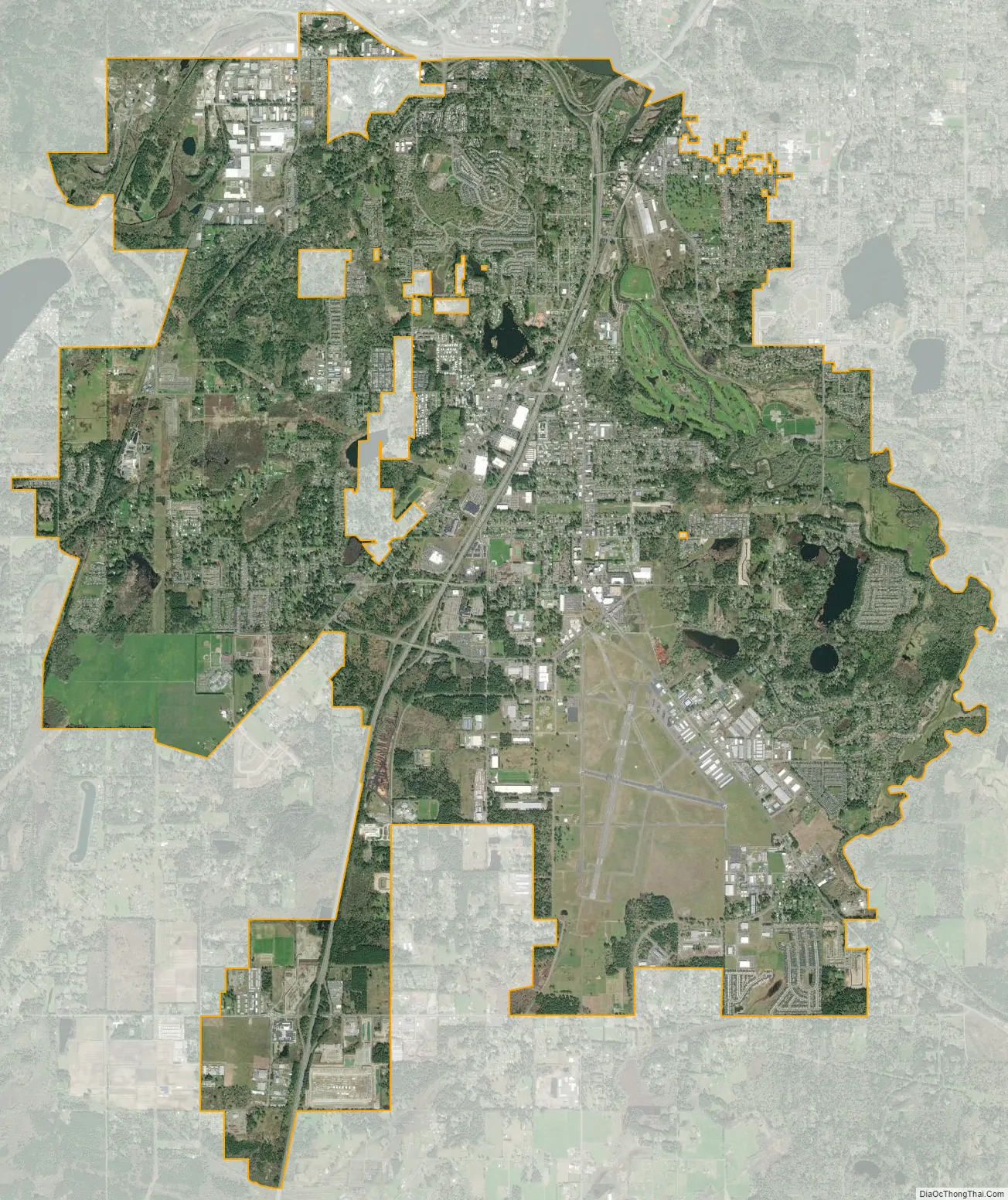
Tumwater city Satellite Map
Geography
Tumwater is located south of the neighboring state capital of Olympia.
According to the United States Census Bureau, the city has a total area of 14.49 square miles (37.53 km), of which, 14.32 square miles (37.09 km) is land and 0.17 square miles (0.44 km) is water.
Climate
This region experiences warm and dry summers, with average monthly temperatures between 71.6 °F (22 °C) and 98.1 °F (36.7 °C). According to the Köppen Climate Classification system, Tumwater has a very warm-summer Mediterranean climate, abbreviated “Csb” on climate maps.
See also
Map of Washington State and its subdivision:- Adams
- Asotin
- Benton
- Chelan
- Clallam
- Clark
- Columbia
- Cowlitz
- Douglas
- Ferry
- Franklin
- Garfield
- Grant
- Grays Harbor
- Island
- Jefferson
- King
- Kitsap
- Kittitas
- Klickitat
- Lewis
- Lincoln
- Mason
- Okanogan
- Pacific
- Pend Oreille
- Pierce
- San Juan
- Skagit
- Skamania
- Snohomish
- Spokane
- Stevens
- Thurston
- Wahkiakum
- Walla Walla
- Whatcom
- Whitman
- Yakima
- Alabama
- Alaska
- Arizona
- Arkansas
- California
- Colorado
- Connecticut
- Delaware
- District of Columbia
- Florida
- Georgia
- Hawaii
- Idaho
- Illinois
- Indiana
- Iowa
- Kansas
- Kentucky
- Louisiana
- Maine
- Maryland
- Massachusetts
- Michigan
- Minnesota
- Mississippi
- Missouri
- Montana
- Nebraska
- Nevada
- New Hampshire
- New Jersey
- New Mexico
- New York
- North Carolina
- North Dakota
- Ohio
- Oklahoma
- Oregon
- Pennsylvania
- Rhode Island
- South Carolina
- South Dakota
- Tennessee
- Texas
- Utah
- Vermont
- Virginia
- Washington
- West Virginia
- Wisconsin
- Wyoming