Map of Granger city, Washington
Granger is a city in Yakima County, Washington, United States. The population was 3,624 at the 2020 census. Although it was classified as a town in 2000, it has since been reclassified as a city. Granger city overview: Name: Granger city LSAD Code: 25 LSAD Description: city (suffix) State: Washington County: Yakima County Elevation: 732 ft ... Read more
Map of Granger city, Washington
Map of Grandview city, Washington
Grandview is a city in Yakima County, Washington, United States. It is about 38 miles west of Kennewick and 38 miles southeast of Yakima. The population was 10,907 at the 2020 census. Grandview’s economy is agriculture based; with apples, cherries, concord and wine grapes, hops, asparagus, corn, wheat, dairy and other fruit and vegetable production ... Read more
Map of Grandview city, Washington
Map of Grand Mound CDP, Washington
Grand Mound is a community and census-designated place (CDP) in Thurston County, Washington, United States. It was named and founded by Jotham Weeks Goodell, father of Phoebe Judson, in 1851. The population was 3,301 at the 2020 census. This area uses the 98579 and 98531 zip codes, which also includes Rochester and Gate. Grand Mound ... Read more
Map of Grand Mound CDP, Washington
Map of Hamilton town, Washington
Hamilton town overview: Name: Hamilton town LSAD Code: 43 LSAD Description: town (suffix) State: Washington County: Skagit County FIPS code: 5329255 Online Interactive Map Hamilton online map. Source: Basemap layers from Google Map, Open Street Map (OSM), Arcgisonline, Wmflabs. Boundary Data from Database of Global Administrative Areas. Hamilton location map. Where is Hamilton town? Hamilton ... Read more
Map of Hamilton town, Washington
Map of Green Bluff CDP
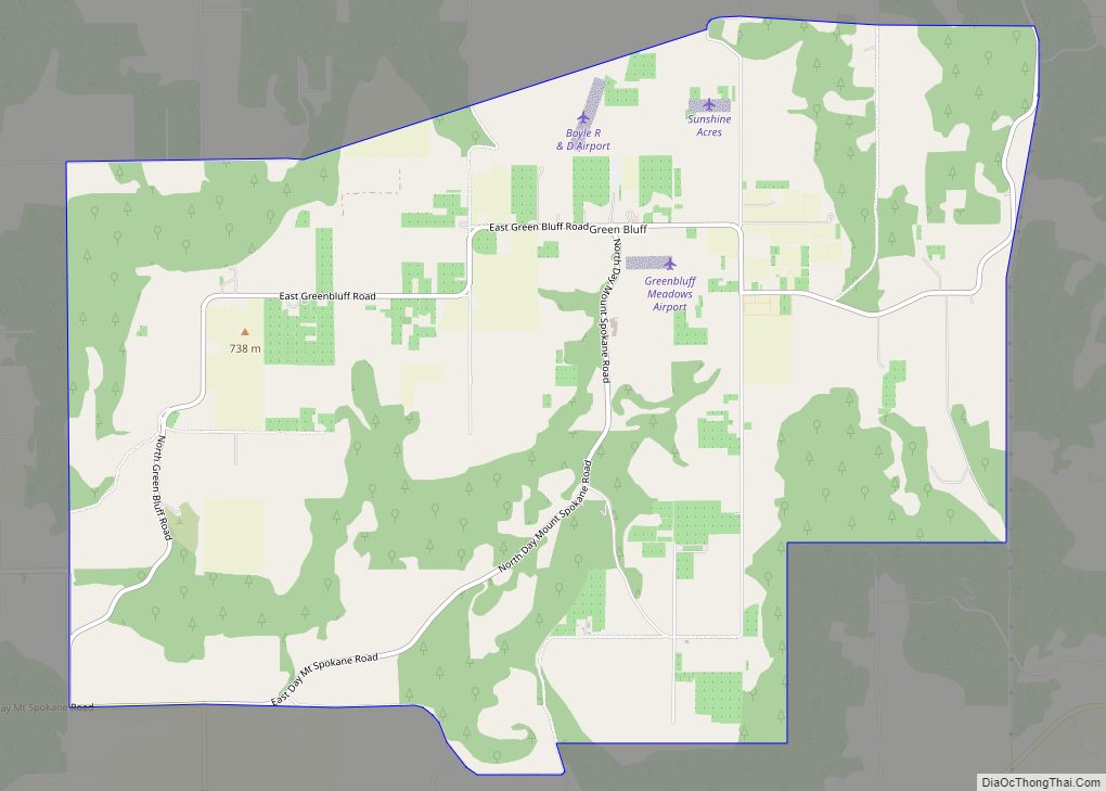
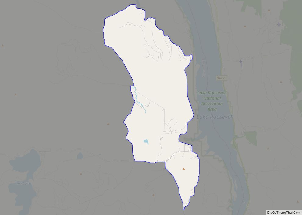
Green Bluff is a small unincorporated farming community and census-designated place in Spokane County, Washington, it is named after a nearby cliff. Its elevation is 2,310 feet (700 m). The 2010 census population was 761. The 2010 census was the first time the community has been recognized by the U.S. Census bureau. The town has a ... Read more
Map of Green Bluff CDP
Map of Hartline town
Hartline town overview: Name: Hartline town LSAD Code: 43 LSAD Description: town (suffix) State: Washington County: Grant County FIPS code: 5329920 Online Interactive Map Hartline online map. Source: Basemap layers from Google Map, Open Street Map (OSM), Arcgisonline, Wmflabs. Boundary Data from Database of Global Administrative Areas. Hartline location map. Where is Hartline town? Hartline ... Read more
Map of Hartline town
Map of Inchelium CDP
Inchelium (Okanagan: N̓čaʔlíwm̓) is a census-designated place (CDP) in Ferry County, Washington, United States on the Colville Indian Reservation. The population was 431 at the 2020 Census. Inchelium was relocated from an earlier site in the early 1940s. Old Inchelium had been located on the banks of the Columbia River before the construction of the ... Read more
Map of Inchelium CDP
Map of Hoodsport CDP
Hoodsport is a census-designated place (CDP) in Mason County, Washington, United States. The population was 376 at the 2010 census. Hoodsport is located along the Hood Canal, at the intersection of U.S. Route 101 and State Route 119. Lake Cushman is 5 miles (8.0 km) up the road on State Route 119. Hoodsport is the gateway ... Read more
Map of Hoodsport CDP
Map of Jamestown CDP, Washington
Jamestown is an unincorporated community and census-designated place (CDP) in Clallam County, Washington, United States. The population was 361 at the 2010 census. The community derives its name from Chief James, a Clallam Indian leader. Jamestown CDP overview: Name: Jamestown CDP LSAD Code: 57 LSAD Description: CDP (suffix) State: Washington County: Clallam County Elevation: 10 ft ... Read more
Map of Jamestown CDP, Washington
Map of Keller CDP, Washington
Keller is an unincorporated community and census-designated place (CDP) in southwestern Ferry County in the northeastern part of the U.S. state of Washington. As of the 2010 census, the population was 234. Keller CDP overview: Name: Keller CDP LSAD Code: 57 LSAD Description: CDP (suffix) State: Washington County: Ferry County Elevation: 1,499 ft (457 m) Total Area: ... Read more
Map of Keller CDP, Washington
Map of Kittitas city
Kittitas (/ˈkɪtɪtæs/) is a city in Kittitas County, Washington, United States. The population was 1,381 at the 2010 census and an estimated 1,493 in 2018. There are numerous interpretations of the name, which is from the language of the Kittitas American Indian Sahaptin language. According to toponymist William Bright, the name “Kittitas” comes from the ... Read more
Map of Kittitas city
Map of Klickitat CDP
Klickitat is an unincorporated community and census-designated place (CDP) in Klickitat County, Washington, United States. The population was 362 at the 2010 census. Once the site of a lumber mill, it is now primarily a bedroom community. Klickitat CDP overview: Name: Klickitat CDP LSAD Code: 57 LSAD Description: CDP (suffix) State: Washington County: Klickitat County ... Read more
Map of Klickitat CDP