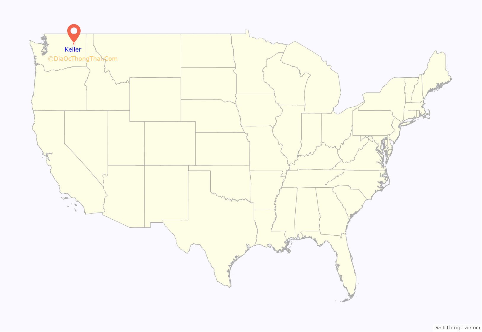
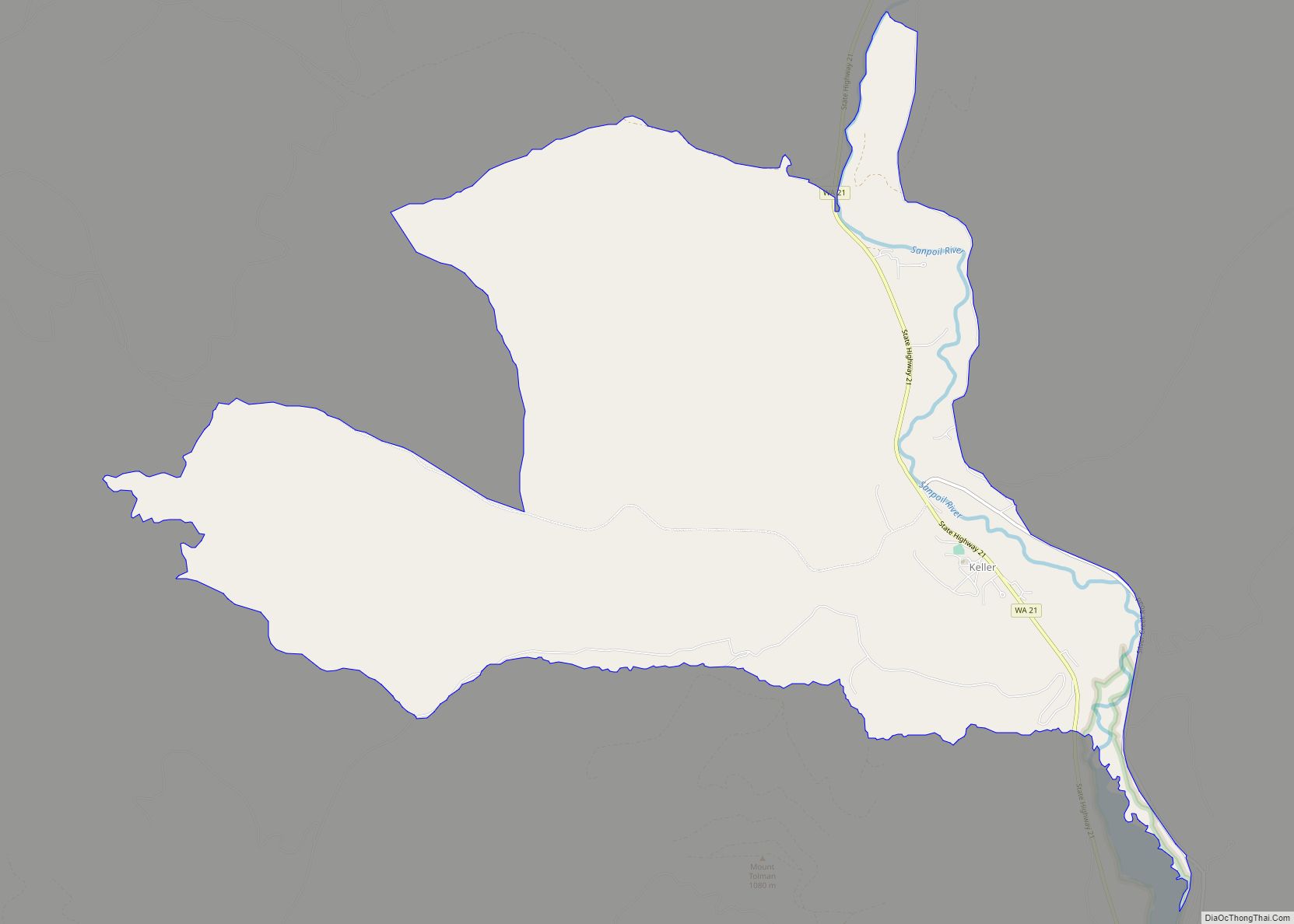
Keller is an unincorporated community and census-designated place (CDP) in southwestern Ferry County in the northeastern part of the U.S. state of Washington. As of the 2010 census, the population was 234.
| Name: | Keller CDP |
|---|---|
| LSAD Code: | 57 |
| LSAD Description: | CDP (suffix) |
| State: | Washington |
| County: | Ferry County |
| Elevation: | 1,499 ft (457 m) |
| Total Area: | 9.5 sq mi (24.6 km²) |
| Land Area: | 9.5 sq mi (24.6 km²) |
| Water Area: | 0.0 sq mi (0.0 km²) |
| Total Population: | 234 |
| Population Density: | 25/sq mi (9.5/km²) |
| ZIP code: | 99140 |
| Area code: | 509 |
| FIPS code: | 5334960 |
| GNISfeature ID: | 1518417 |
Online Interactive Map
Click on ![]() to view map in "full screen" mode.
to view map in "full screen" mode.
Keller location map. Where is Keller CDP?
History
The town is located in the valley of the Sanpoil River, and was founded in 1898 by Baby Ray Peone, a local fisherman. The town was located in the area known as “God’s Country” (or “Old Keller” to the locals). At its height the town had an estimated population of 3,500 and even featured a minor league baseball team and red light district. The town was moved several times beginning in 1941 due to backwatering from the Grand Coulee Dam which flooded its previous locations, and is now located 18 miles (29 km) north of the Columbia River. The series of moves seriously reduced its population over time.
The town is encompassed by the Colville Indian Reservation, which has an estimated population of roughly 1,200 people mostly of Native American descent and primarily members of the Sanpoil tribe, one of the Twelve Tribes that make up the Colville Confederated Tribes and one of the few Indian Nations that was never relocated by order of the U.S. government.
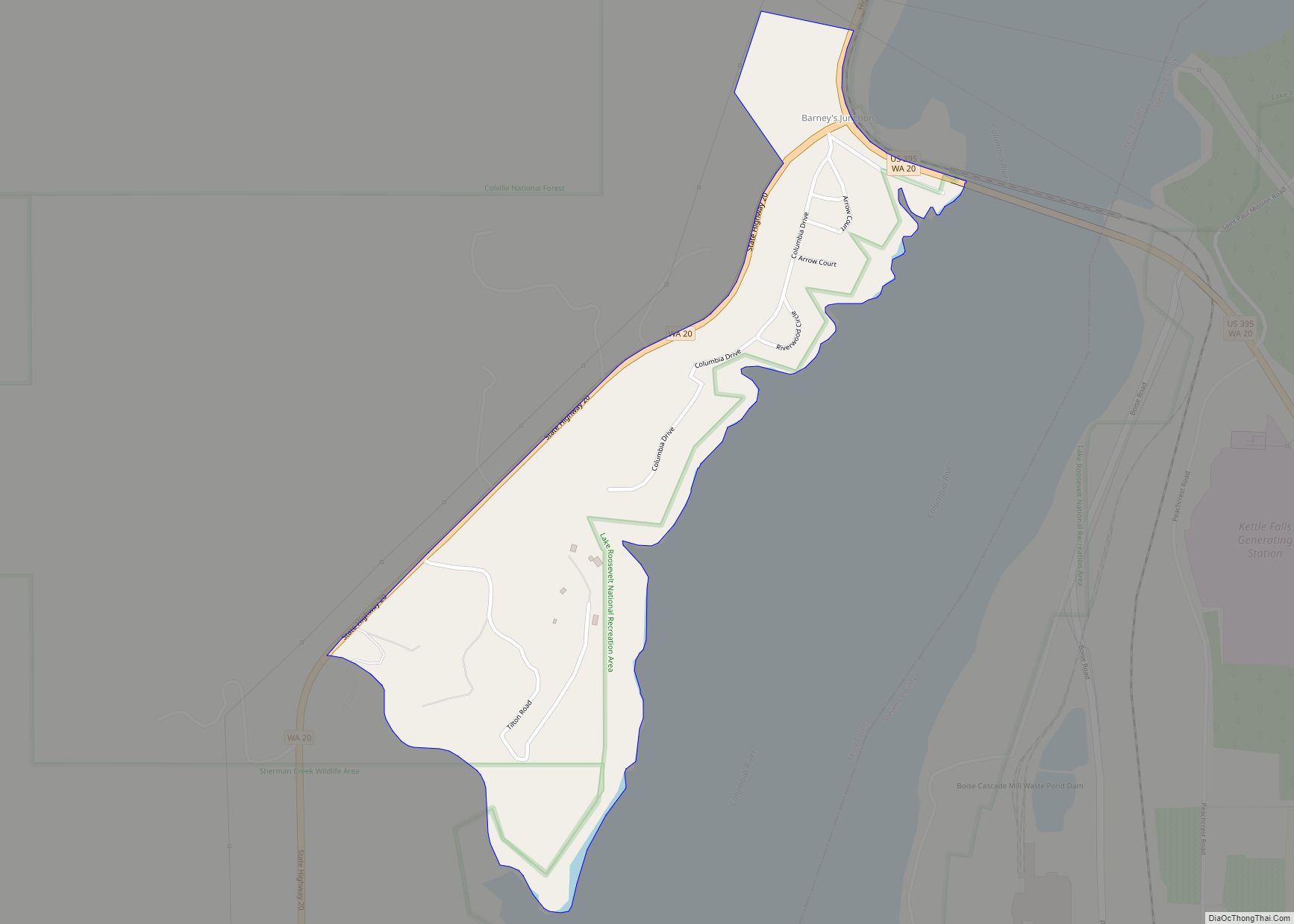
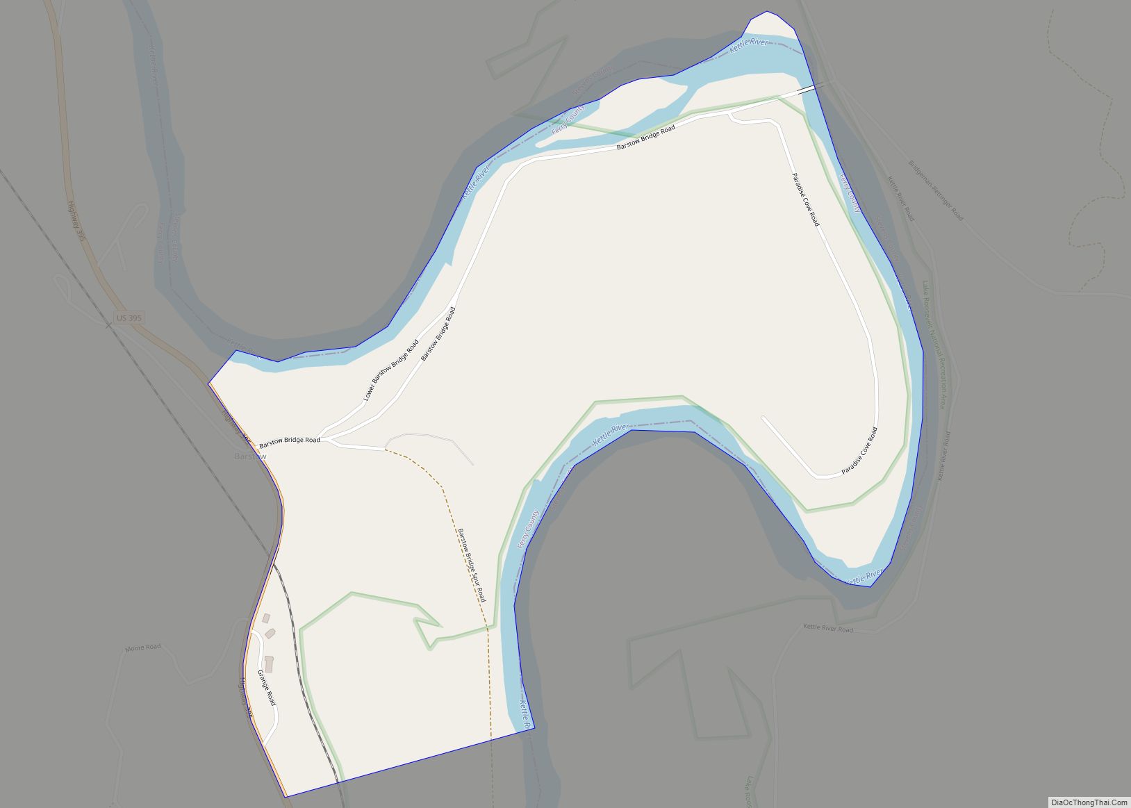
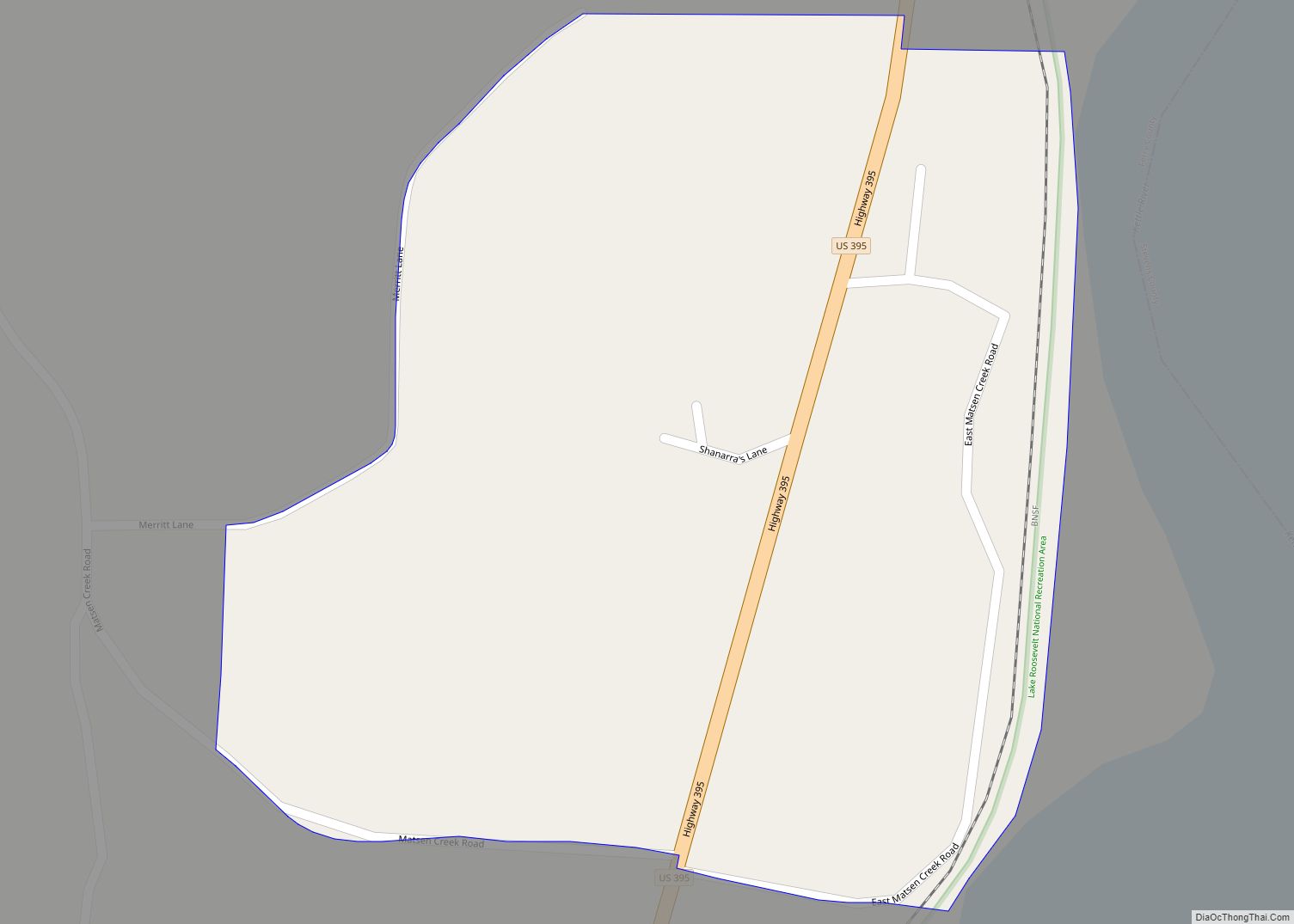
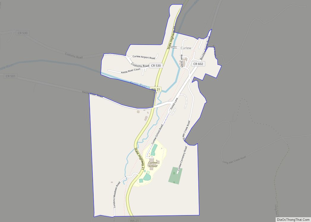
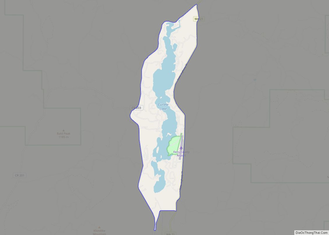
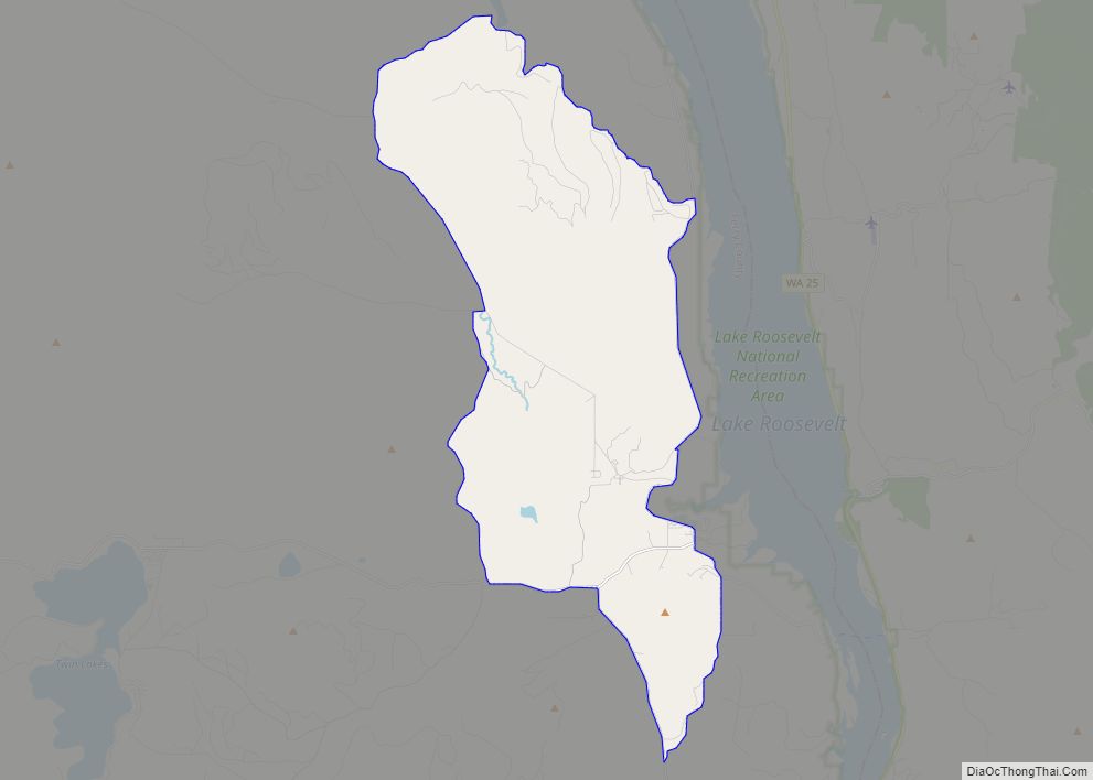
Keller Road Map
Keller city Satellite Map
See also
Map of Washington State and its subdivision:- Adams
- Asotin
- Benton
- Chelan
- Clallam
- Clark
- Columbia
- Cowlitz
- Douglas
- Ferry
- Franklin
- Garfield
- Grant
- Grays Harbor
- Island
- Jefferson
- King
- Kitsap
- Kittitas
- Klickitat
- Lewis
- Lincoln
- Mason
- Okanogan
- Pacific
- Pend Oreille
- Pierce
- San Juan
- Skagit
- Skamania
- Snohomish
- Spokane
- Stevens
- Thurston
- Wahkiakum
- Walla Walla
- Whatcom
- Whitman
- Yakima
- Alabama
- Alaska
- Arizona
- Arkansas
- California
- Colorado
- Connecticut
- Delaware
- District of Columbia
- Florida
- Georgia
- Hawaii
- Idaho
- Illinois
- Indiana
- Iowa
- Kansas
- Kentucky
- Louisiana
- Maine
- Maryland
- Massachusetts
- Michigan
- Minnesota
- Mississippi
- Missouri
- Montana
- Nebraska
- Nevada
- New Hampshire
- New Jersey
- New Mexico
- New York
- North Carolina
- North Dakota
- Ohio
- Oklahoma
- Oregon
- Pennsylvania
- Rhode Island
- South Carolina
- South Dakota
- Tennessee
- Texas
- Utah
- Vermont
- Virginia
- Washington
- West Virginia
- Wisconsin
- Wyoming
