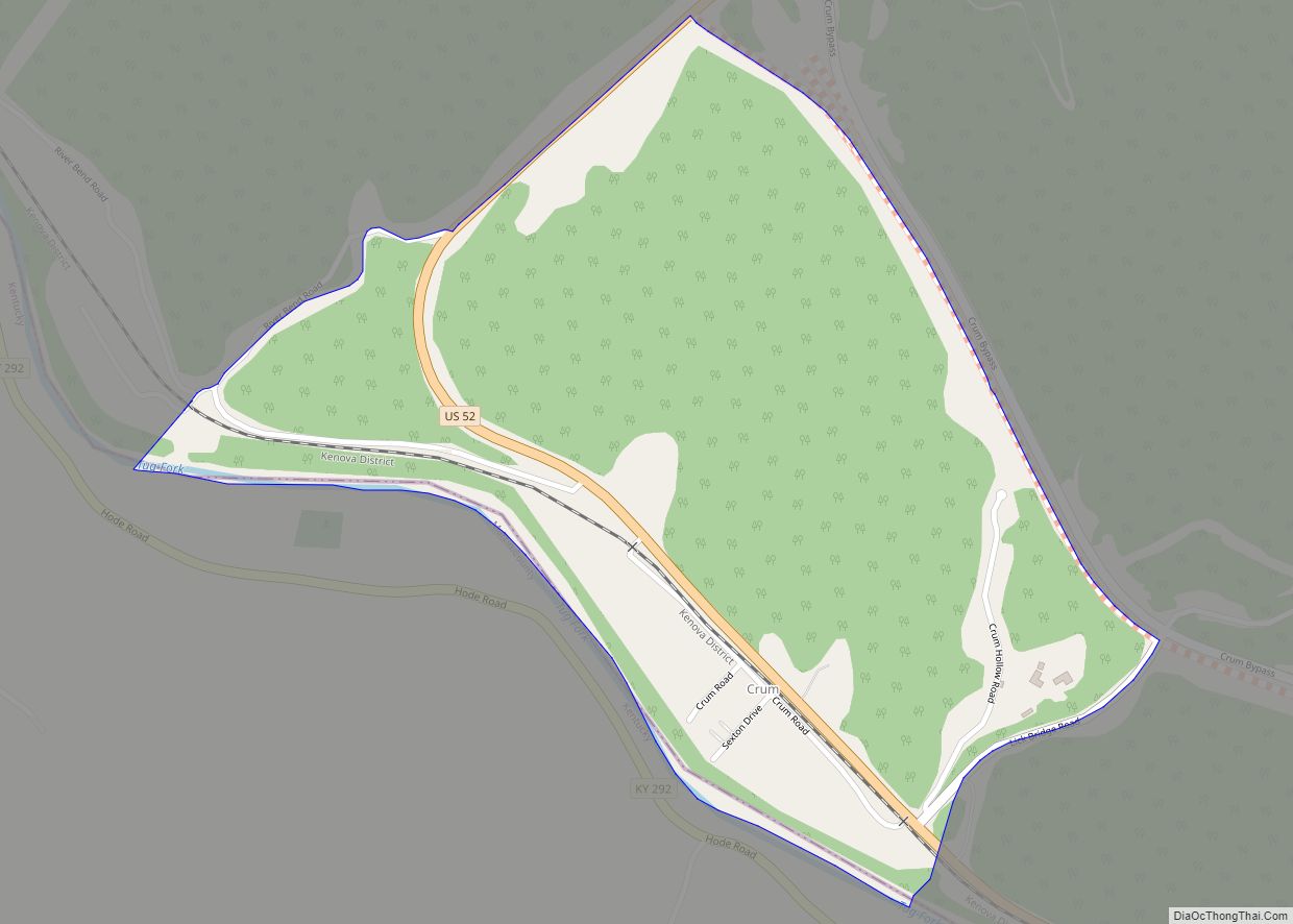
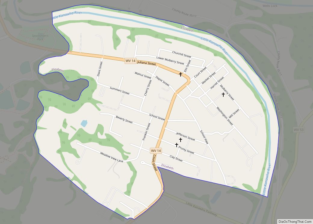
Map of Big Sandy CDP, West Virginia

Map of Big Sandy CDP, West Virginia

Big Sandy is a census-designated place (CDP) located in McDowell County, West Virginia, United States. As of the 2010 census, its population is 168. The town’s name comes from the Big Sandy River, a major tributary of the Ohio River which forms the boundary between West Virginia and Kentucky. Big Sandy CDP overview: Name: Big … Read more

Map of Brandywine CDP, West Virginia

Map of Brandywine CDP, West Virginia

Brandywine is a census-designated place (CDP) located on U.S. Highway 33 in Pendleton County, West Virginia, United States. The town lies along the South Fork South Branch Potomac River at its confluence with Hawes Run. At the 2019 census, its population was 147. Located nearby within the George Washington National Forest is the Brandywine Recreation … Read more

Map of Big Creek CDP, West Virginia

Map of Big Creek CDP, West Virginia

Big Creek is a census-designated place (CDP) in Logan County, West Virginia, United States. Big Creek is located on West Virginia Route 10, 2.5 miles (4.0 km) northwest of Chapmanville. Big Creek has a post office with ZIP code 25505. As of the 2010 census, its population was 237. The community takes its name from nearby … Read more

Map of Brandonville town, West Virginia

Map of Brandonville town, West Virginia

Brandonville is a town in northern Preston County, West Virginia, United States. The population was 136 at the 2020 census. It is part of the Morgantown metropolitan area. Brandonville town overview: Name: Brandonville town LSAD Code: 43 LSAD Description: town (suffix) State: West Virginia County: Preston County Elevation: 1,805 ft (550 m) Total Area: 0.39 sq mi (1.00 km²) Land … Read more

Map of Big Chimney CDP

Map of Big Chimney CDP

Big Chimney is a census-designated place (CDP) located on U.S. Route 119 in Kanawha County, West Virginia, United States. As of the 2010 census, its population was 627. It is accessible by West Virginia Route 114 or exit 5 from I-79. The center of town includes a Hardee’s, a drug store, hardware store and grocery … Read more

Map of Bramwell town

Map of Bramwell town

Bramwell is a town in Mercer County, West Virginia, United States, along the Bluestone River. The population was 277 at the 2020 census. It is part of the Bluefield, WV-VA micropolitan area which has a population of 107,578. Bramwell town overview: Name: Bramwell town LSAD Code: 43 LSAD Description: town (suffix) State: West Virginia County: … Read more

Map of Bradshaw town, West Virginia

Map of Bradshaw town, West Virginia

Bradshaw is a town in McDowell County, West Virginia, United States. The population was 337 at the 2010 census. Bradshaw was incorporated in December 1979 and named for a pioneer settler. Bradshaw town overview: Name: Bradshaw town LSAD Code: 43 LSAD Description: town (suffix) State: West Virginia County: McDowell County Total Area: 0.80 sq mi (2.07 km²) Land … Read more

Map of Bradley CDP, West Virginia

Map of Bradley CDP, West Virginia

Bradley is a census-designated place (CDP) in Raleigh County, West Virginia, United States, named in honor of General Omar Bradley, a field commander in North Africa and Europe during World War II and a General of the Army. The population was 2,040 at the 2010 census. Bradley CDP overview: Name: Bradley CDP LSAD Code: 57 … Read more

Map of Bowden CDP

Map of Bowden CDP

Bowden is a census-designated place (CDP) in Randolph County, West Virginia, United States. Bowden is located on U.S. Route 33, 7.5 miles (12.1 km) east of Elkins. Bowden has a post office with ZIP code 26254. According to the 2010 Census, there were nine people residing at this location. Bowden CDP overview: Name: Bowden CDP LSAD … Read more

Map of Boomer CDP

Map of Boomer CDP

Boomer is a census-designated place (CDP) in Fayette County, West Virginia, United States. Boomer is located on the north bank of the Kanawha River, 2 miles (3.2 km) southeast of Smithers. Boomer has a post office with ZIP code 25031. As of the 2010 census, its population was 615. Boomer CDP overview: Name: Boomer CDP LSAD … Read more

Map of Bolt CDP

Map of Bolt CDP

Bolt is a census-designated place (CDP) in Raleigh County, West Virginia, United States. Bolt is located on West Virginia Route 99, 12 miles (19 km) west of Beckley. Bolt has a post office with ZIP code 25817. As of the 2010 census, its population is 548. Bolt CDP overview: Name: Bolt CDP LSAD Code: 57 LSAD … Read more

Map of Bolivar town, West Virginia

Map of Bolivar town, West Virginia

Bolivar (/ˈbɒlɪvər/ BOH-liv-er) is a town in Jefferson County, West Virginia, United States. The population was 1,072 at the 2020 census. The town is named for South American revolutionary leader Simón Bolívar. Located in West Virginia’s Eastern Panhandle, it is part of the northwestern fringes of the Washington metropolitan area. The Appalachian Trail passes directly … Read more