Flatwoods is a town in Braxton County, West Virginia, United States, located approximately one mile from exit 67 of Interstate 79.
The population of Flatwoods was 264 as of the 2020 census.
| Name: | Flatwoods town |
|---|---|
| LSAD Code: | 43 |
| LSAD Description: | town (suffix) |
| State: | West Virginia |
| County: | Braxton County |
| Incorporated: | 1901; 122 years ago (1901) |
| Elevation: | 1,071 ft (326 m) |
| Total Area: | 0.66 sq mi (1.70 km²) |
| Land Area: | 0.66 sq mi (1.70 km²) |
| Water Area: | 0.00 sq mi (0.00 km²) |
| Total Population: | 264 |
| Population Density: | 400/sq mi (160/km²) |
| ZIP code: | 26621 |
| Area code: | 304 |
| FIPS code: | 5427868 |
| GNISfeature ID: | 1539070 |
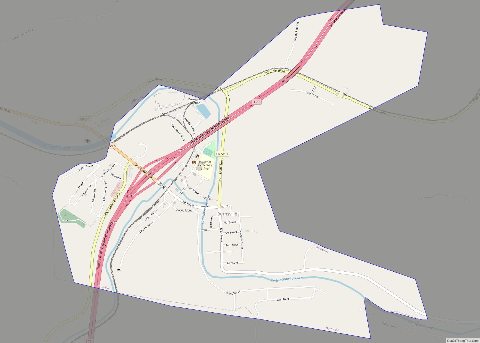
Online Interactive Map
Click on ![]() to view map in "full screen" mode.
to view map in "full screen" mode.
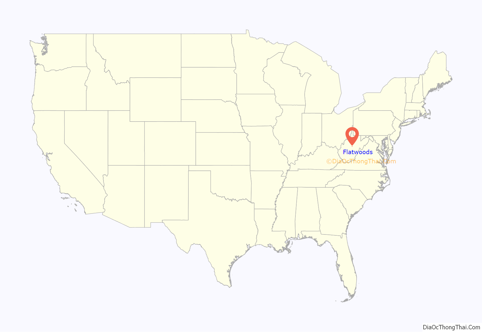
Flatwoods location map. Where is Flatwoods town?

History
Although first incorporated in 1902, maps show the existence of Flatwoods as a town in 1873, and a church was established by a pastor named John Clark at the community there as early as 1830. The West Virginia and Pittsburgh Railroad extended a branch through Flatwoods in the late 1800s. Later, the line was taken over by Baltimore and Ohio Railroad, and Flatwoods was a halfway point on the B&O Railroad’s Clarksburg-Richwood branch, approximately 62.6 miles from the Clarksburg terminal, and 59.1 miles from the Richwood terminal. The town also served as the origin of West Virginia & Pittsburgh Railroad’s Sutton Branch.
The community became nationally known for the Flatwoods monster UFO incident which occurred on September 12, 1952.
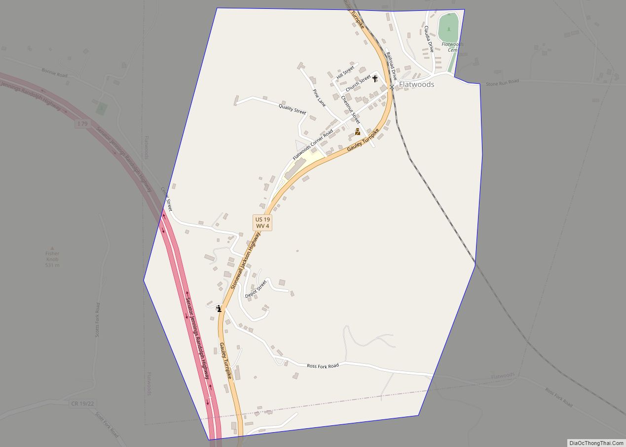
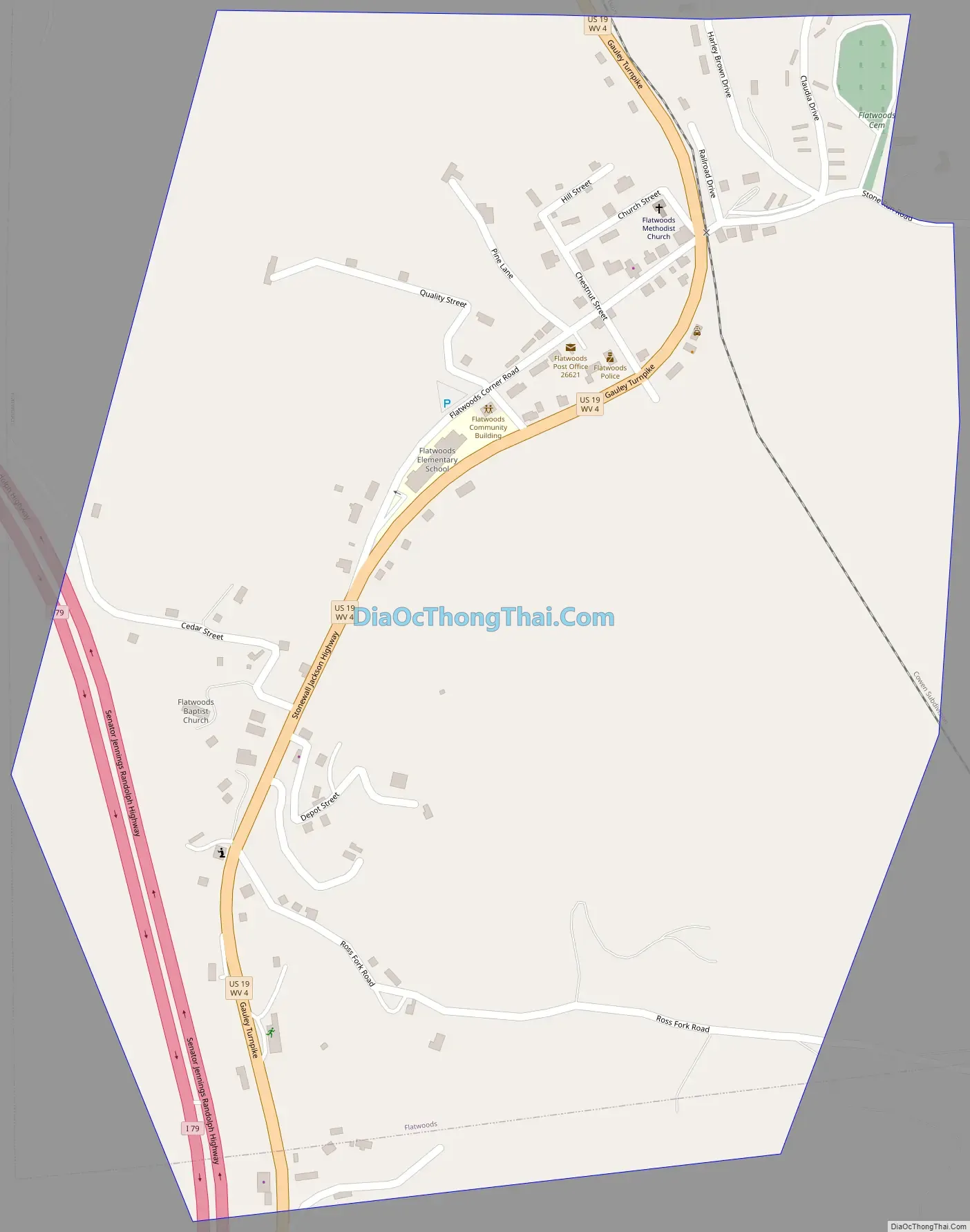
Flatwoods Road Map
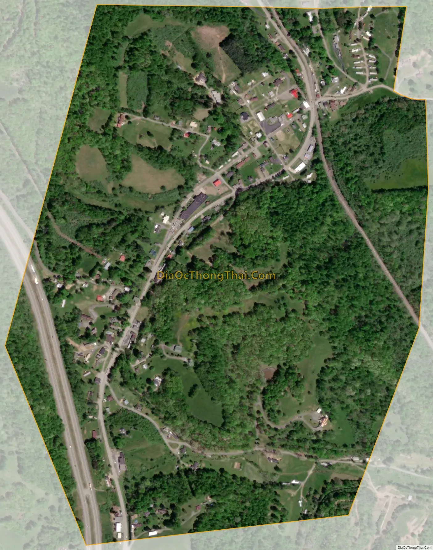
Flatwoods city Satellite Map
Geography
Flatwoods is located at 38°43′17″N 80°39′11″W / 38.721374°N 80.652957°W / 38.721374; -80.652957 (38.721374, -80.652957). According to the United States Census Bureau, the town has a total area of 0.66 square miles (1.71 km), all land.
See also
Map of West Virginia State and its subdivision:- Barbour
- Berkeley
- Boone
- Braxton
- Brooke
- Cabell
- Calhoun
- Clay
- Doddridge
- Fayette
- Gilmer
- Grant
- Greenbrier
- Hampshire
- Hancock
- Hardy
- Harrison
- Jackson
- Jefferson
- Kanawha
- Lewis
- Lincoln
- Logan
- Marion
- Marshall
- Mason
- McDowell
- Mercer
- Mineral
- Mingo
- Monongalia
- Monroe
- Morgan
- Nicholas
- Ohio
- Pendleton
- Pleasants
- Pocahontas
- Preston
- Putnam
- Raleigh
- Randolph
- Ritchie
- Roane
- Summers
- Taylor
- Tucker
- Tyler
- Upshur
- Wayne
- Webster
- Wetzel
- Wirt
- Wood
- Wyoming
- Alabama
- Alaska
- Arizona
- Arkansas
- California
- Colorado
- Connecticut
- Delaware
- District of Columbia
- Florida
- Georgia
- Hawaii
- Idaho
- Illinois
- Indiana
- Iowa
- Kansas
- Kentucky
- Louisiana
- Maine
- Maryland
- Massachusetts
- Michigan
- Minnesota
- Mississippi
- Missouri
- Montana
- Nebraska
- Nevada
- New Hampshire
- New Jersey
- New Mexico
- New York
- North Carolina
- North Dakota
- Ohio
- Oklahoma
- Oregon
- Pennsylvania
- Rhode Island
- South Carolina
- South Dakota
- Tennessee
- Texas
- Utah
- Vermont
- Virginia
- Washington
- West Virginia
- Wisconsin
- Wyoming