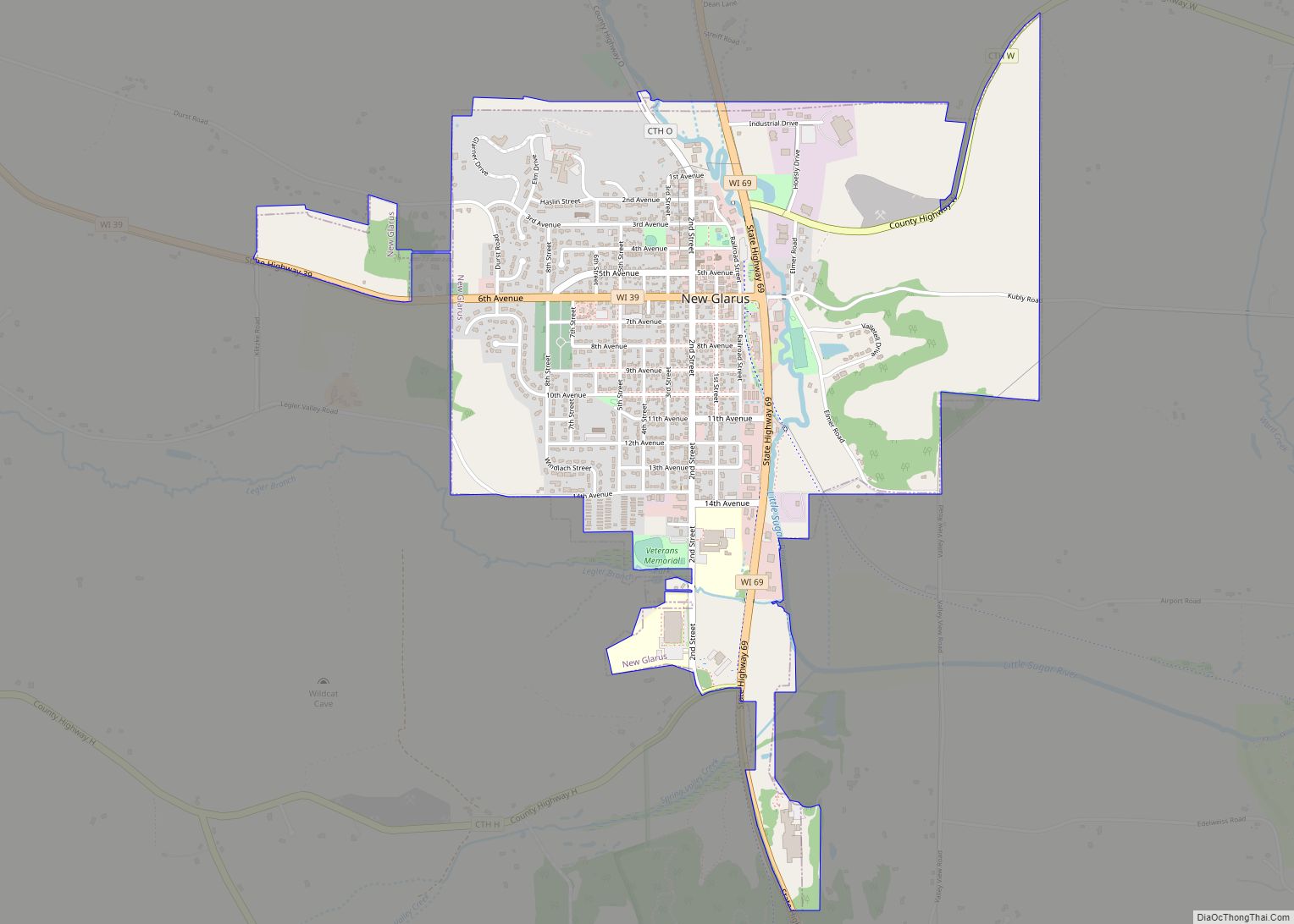
New Glarus is a village in Green County, Wisconsin, United States at the intersection of Wisconsin Highways 69 and 39. It has a population of 2,266 according to the 2020 census. The village, and the town that surrounds it, were named after the canton of Glarus in eastern Switzerland. The community was founded in 1845 ... Read more
Wisconsin Cities and Places
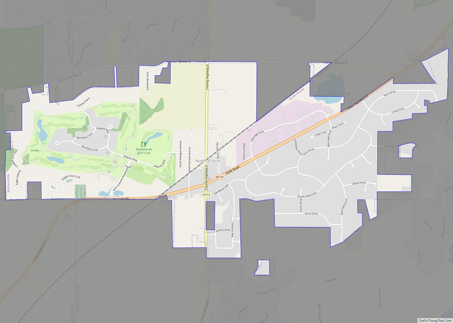
North Prairie is a village in Waukesha County, Wisconsin. It is located in the Town of Genesee, near the town’s southwestern corner. The population was 2,202 at the 2020 census. North Prairie village overview: Name: North Prairie village LSAD Code: 47 LSAD Description: village (suffix) State: Wisconsin County: Waukesha County Elevation: 948 ft (289 m) Total Area: ... Read more
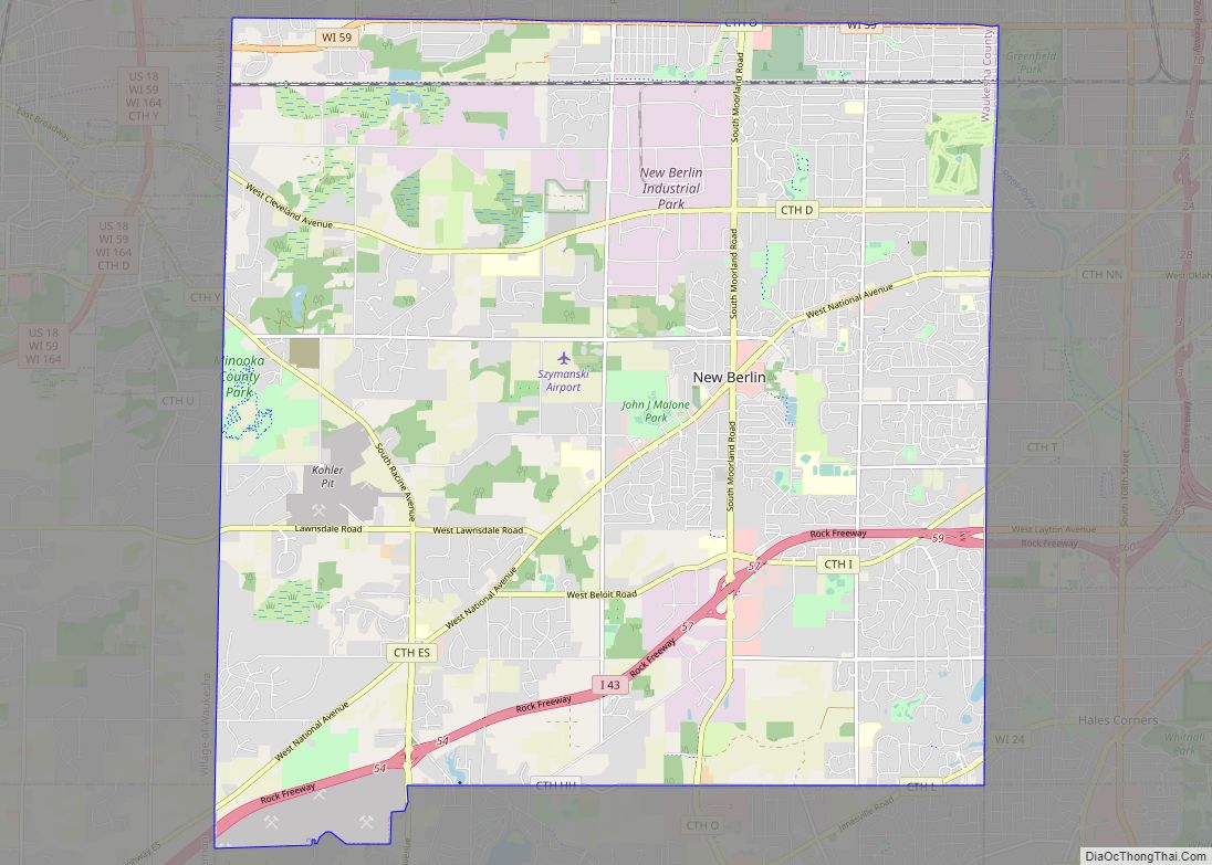
New Berlin (/nuːˈbɜːrlɪn/) is a city located in eastern Waukesha County in the U.S. state of Wisconsin. The population was 40,451 at the 2020 census, making it the third-largest community in Waukesha County after the cities of Waukesha and Brookfield. New Berlin city overview: Name: New Berlin city LSAD Code: 25 LSAD Description: city (suffix) ... Read more
Oliver is a village in Douglas County, Wisconsin, United States. The population was 423 at the 2020 census. Oliver is located 5 miles (8.0 km) west of the city of Superior and 0.3 miles (0.48 km) east of Gary – New Duluth, Duluth, Minnesota. Oliver village overview: Name: Oliver village LSAD Code: 47 LSAD Description: village (suffix) ... Read more
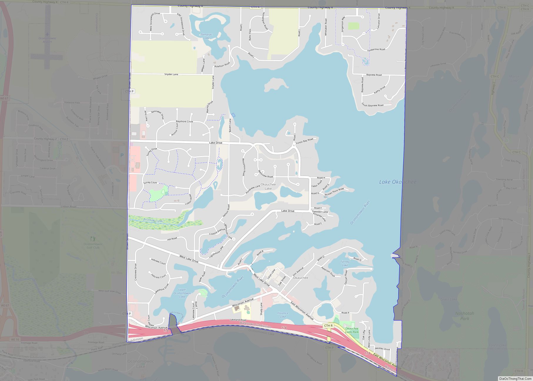
Okauchee Lake is a census-designated place (CDP) in Waukesha County, Wisconsin, United States. The population was 5,094 at the 2020 census. Okauchee Lake is located in the town of Oconomowoc. Okauchee Lake CDP overview: Name: Okauchee Lake CDP LSAD Code: 57 LSAD Description: CDP (suffix) State: Wisconsin County: Waukesha County Elevation: 883 ft (269 m) Total Area: ... Read more
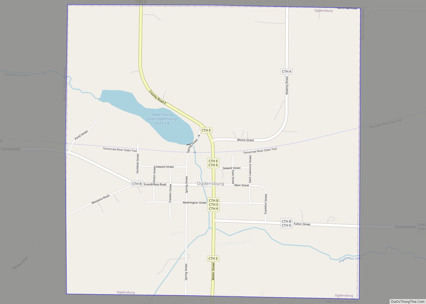
Ogdensburg is a village in Waupaca County, Wisconsin, United States. The population was 185 at the 2010 census. Ogdensburg village overview: Name: Ogdensburg village LSAD Code: 47 LSAD Description: village (suffix) State: Wisconsin County: Waupaca County Elevation: 850 ft (259 m) Total Area: 1.03 sq mi (2.66 km²) Land Area: 0.97 sq mi (2.52 km²) Water Area: 0.05 sq mi (0.14 km²) Total Population: 185 Population ... Read more
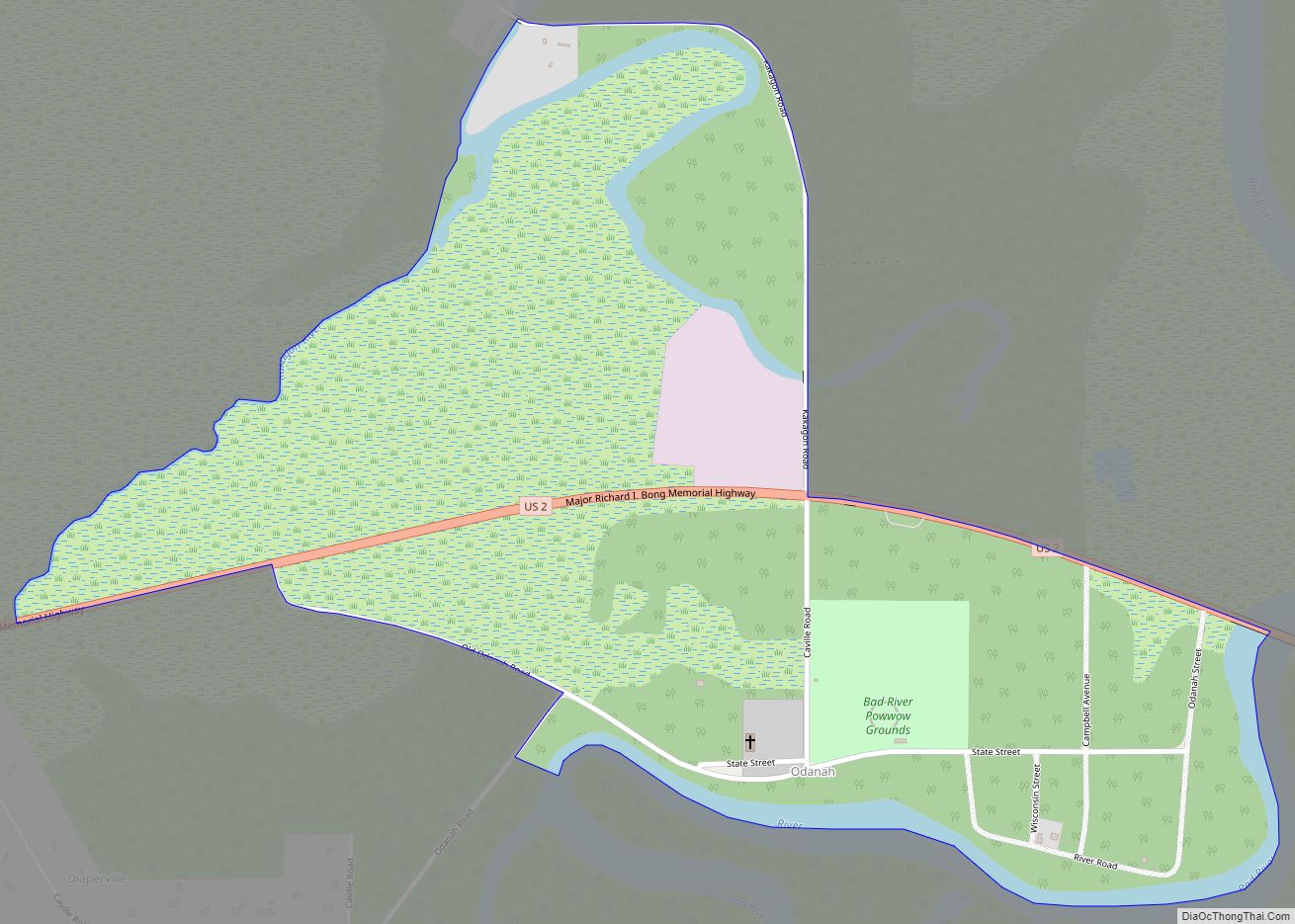
Odanah (Ojibwe: Oodena) is an unincorporated community and census-designated place (CDP) in Ashland County, Wisconsin, in the town of Sanborn, United States, on the banks of the Bad River. The population was 47 at the 2020 census. Odanah is the cultural and administrative center of the Bad River Chippewa Band of the Chippewa. For statistical ... Read more
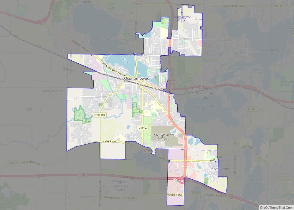
Oconomowoc (/əˈkɒnəməˌwɒk/ ə-KON-ə-mə-wok) is a city in Waukesha County, Wisconsin, United States. The name was derived from Coo-no-mo-wauk, the Potawatomi term for “waterfall.” The population was 18,203 at the 2020 census. The city is partially adjacent to the Town of Oconomowoc and near the village of Oconomowoc Lake, Wisconsin. Oconomowoc city overview: Name: Oconomowoc city ... Read more
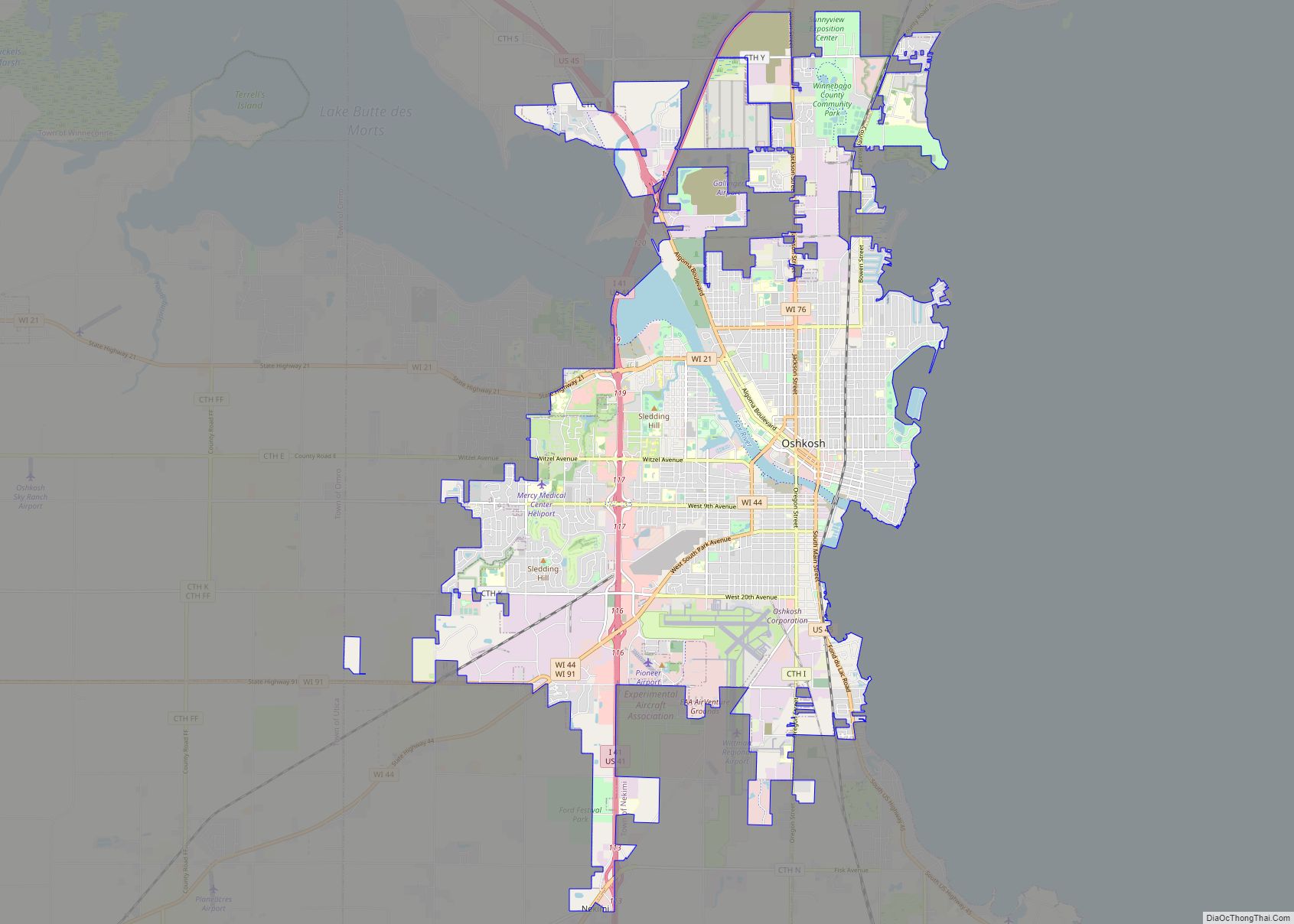
Oshkosh is a city in and the county seat of Winnebago County, Wisconsin, United States. The city had a population of 66,816 in 2020, making it the ninth-largest city in Wisconsin. It is also adjacent to the Town of Oshkosh. Oshkosh city overview: Name: Oshkosh city LSAD Code: 25 LSAD Description: city (suffix) State: Wisconsin ... Read more
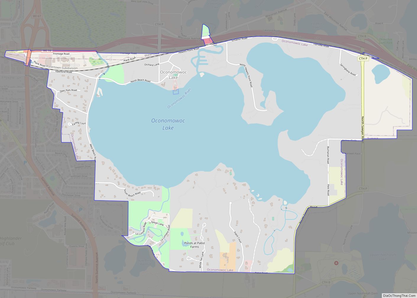
Oconomowoc Lake is a village in Waukesha County, Wisconsin, United States. Located just outside the City of Oconomowoc, the village includes the residential area encircling Oconomowoc Lake. Around the turn of the 20th century, the area become known as a summer retreat for wealthy residents of Milwaukee and Chicago. The population was 566 at the ... Read more
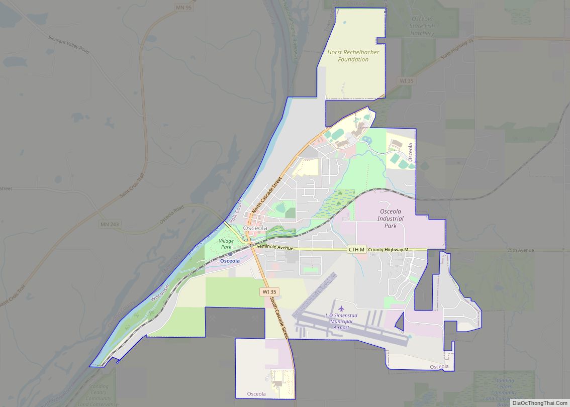
Osceola is a village in Polk County, Wisconsin, United States. The population was 2,765 at the 2020 census. Located mostly within the Town of Osceola, the village sits on the border with Minnesota, separated by the St. Croix River. It is along Wisconsin Highway 35. The Village Board has articulated the 10 most significant assets ... Read more
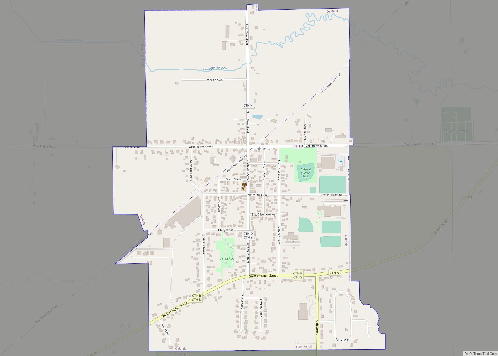
Oakfield is a town in Fond du Lac County, Wisconsin, United States. The population was 767 at the 2000 census. The Village of Oakfield is located within the town. The unincorporated community of Oak Center is also located in the town. Oakfield village overview: Name: Oakfield village LSAD Code: 47 LSAD Description: village (suffix) State: ... Read more
