Oregon is a village in Dane County, Wisconsin. As of the census of 2020, the population was 11,179. Oregon is part of the Madison Metropolitan Statistical Area. The village is located mostly within the Town of Oregon.
| Name: | Oregon village |
|---|---|
| LSAD Code: | 47 |
| LSAD Description: | village (suffix) |
| State: | Wisconsin |
| County: | Dane County |
| Elevation: | 1,053 ft (321 m) |
| Total Area: | 4.49 sq mi (11.63 km²) |
| Land Area: | 4.49 sq mi (11.63 km²) |
| Water Area: | 0.00 sq mi (0.00 km²) |
| Total Population: | 11,179 |
| Population Density: | 2,490.3/sq mi (961.5/km²) |
| ZIP code: | 53575 |
| Area code: | 608 |
| FIPS code: | 5560200 |
| GNISfeature ID: | 1570854 |
| Website: | www.vil.oregon.wi.us |
Online Interactive Map
Click on ![]() to view map in "full screen" mode.
to view map in "full screen" mode.
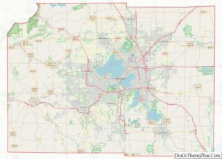
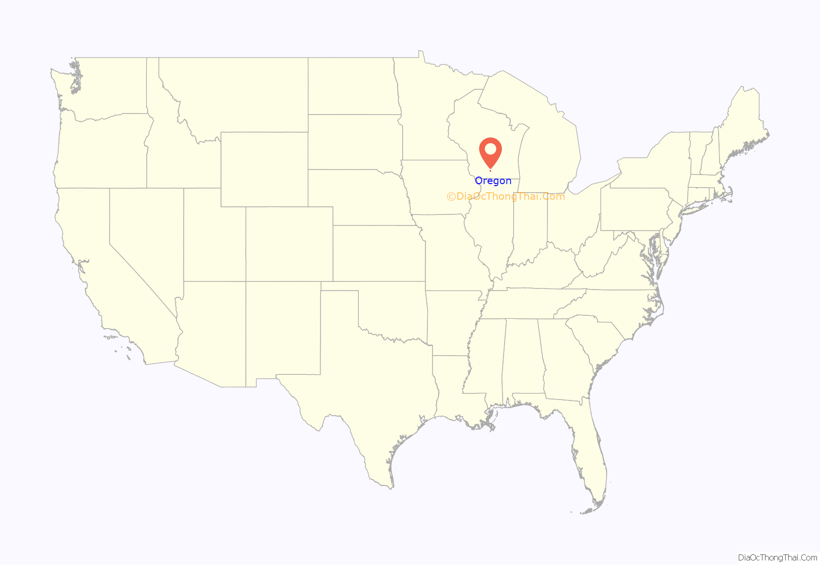
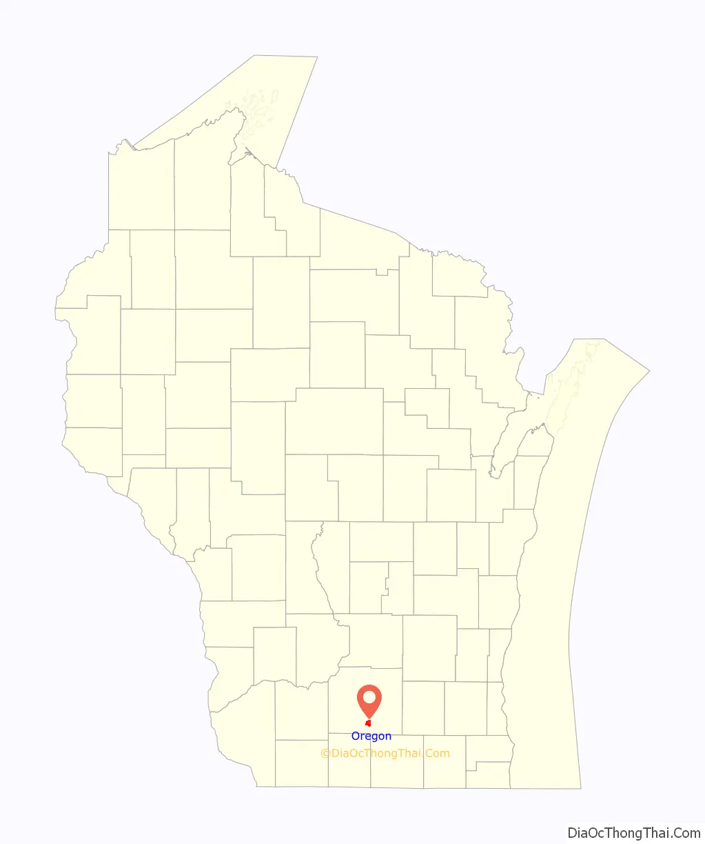
Oregon location map. Where is Oregon village?
History
Oregon was settled in 1841 by Bartlet Runey, and the first house was constructed in 1843. Initially the settlement was known as “Rome Corners,” and there is a road south of the village which still bears that name. When the Chicago and North Western Transportation Company came through the village in 1864, their maps indicated a name of “Oregon,” and the name was adopted. The village was incorporated in 1881.
Many of Oregon’s historical buildings still stand in the downtown district, including the Netherwood Block on the south, the Badger Cycle Company building and original water tower on the southeast on Janesville Street, and numerous business lining the west side of North and South Main Street. The Red Brick School, one of the more distinguishable structures in the village, built in 1922 as the high school, stands north of downtown. It was recently restored and now serves as the business offices for the Gorman Company.
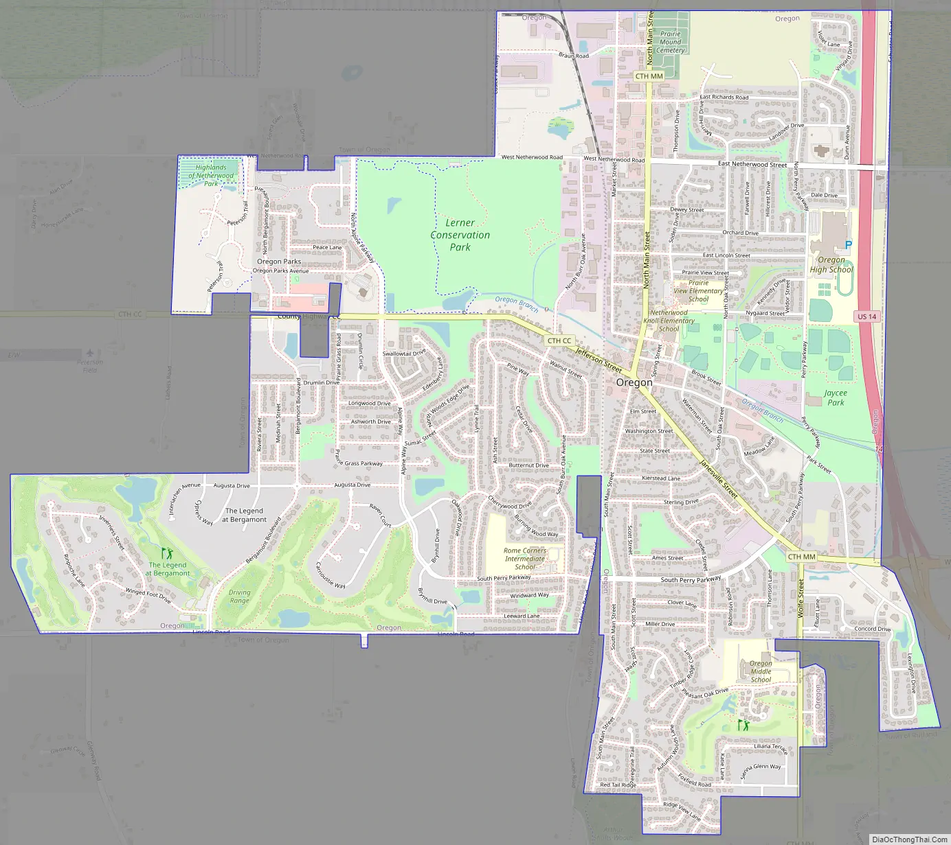
Oregon Road Map
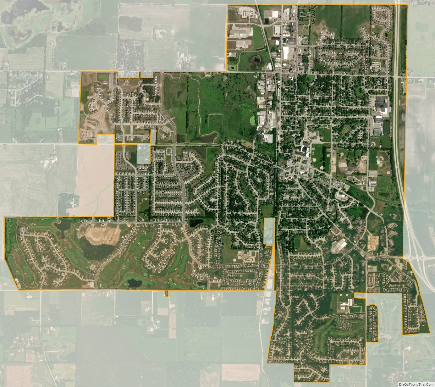
Oregon city Satellite Map
Geography
Oregon is located at 42°55′26″N 89°22′56″W / 42.92389°N 89.38222°W / 42.92389; -89.38222 (42.923899, −89.382304).
According to the United States Census Bureau, the village has a total area of 4.49 square miles (11.63 km), all of it land.
Oregon is served primarily by US-14 and Wisconsin Highway 138 and the two highways meet at the village’s southeast corner. US-14 previously ran through the village, travelling down North Main Street and then arcing along Janesville Street, but a bypass was constructed from 1976 to 1978 along the northern and eastern sides of the village. The previous route is now signed as County Trunk MM.
See also
Map of Wisconsin State and its subdivision:- Adams
- Ashland
- Barron
- Bayfield
- Brown
- Buffalo
- Burnett
- Calumet
- Chippewa
- Clark
- Columbia
- Crawford
- Dane
- Dodge
- Door
- Douglas
- Dunn
- Eau Claire
- Florence
- Fond du Lac
- Forest
- Grant
- Green
- Green Lake
- Iowa
- Iron
- Jackson
- Jefferson
- Juneau
- Kenosha
- Kewaunee
- La Crosse
- Lafayette
- Lake Michigan
- Lake Superior
- Langlade
- Lincoln
- Manitowoc
- Marathon
- Marinette
- Marquette
- Menominee
- Milwaukee
- Monroe
- Oconto
- Oneida
- Outagamie
- Ozaukee
- Pepin
- Pierce
- Polk
- Portage
- Price
- Racine
- Richland
- Rock
- Rusk
- Saint Croix
- Sauk
- Sawyer
- Shawano
- Sheboygan
- Taylor
- Trempealeau
- Vernon
- Vilas
- Walworth
- Washburn
- Washington
- Waukesha
- Waupaca
- Waushara
- Winnebago
- Wood
- Alabama
- Alaska
- Arizona
- Arkansas
- California
- Colorado
- Connecticut
- Delaware
- District of Columbia
- Florida
- Georgia
- Hawaii
- Idaho
- Illinois
- Indiana
- Iowa
- Kansas
- Kentucky
- Louisiana
- Maine
- Maryland
- Massachusetts
- Michigan
- Minnesota
- Mississippi
- Missouri
- Montana
- Nebraska
- Nevada
- New Hampshire
- New Jersey
- New Mexico
- New York
- North Carolina
- North Dakota
- Ohio
- Oklahoma
- Oregon
- Pennsylvania
- Rhode Island
- South Carolina
- South Dakota
- Tennessee
- Texas
- Utah
- Vermont
- Virginia
- Washington
- West Virginia
- Wisconsin
- Wyoming