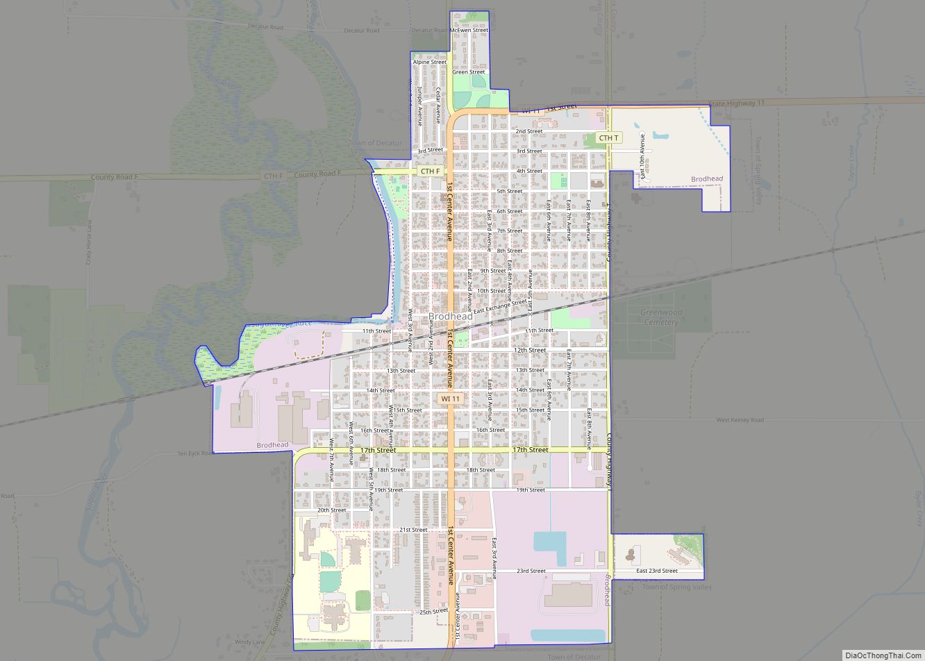
Brodhead is a city in Green and Rock counties in the U.S. state of Wisconsin. The population was 3,274 at the 2020 census. In February 2000, the city annexed a portion of land from the Town of Spring Valley in Rock County. Brodhead city overview: Name: Brodhead city LSAD Code: 25 LSAD Description: city (suffix) ... Read more
Wisconsin Cities and Places
Bristol is a village in Kenosha County, Wisconsin, United States. It was incorporated in 2009 from portions of the Town of Bristol. The population was 5,192 at the 2020 census, more than double the 2010 census population of 2,584. The former unincorporated communities of Bissell, Cypress, Pikeville, and Woodworth are located in the village. Bristol ... Read more
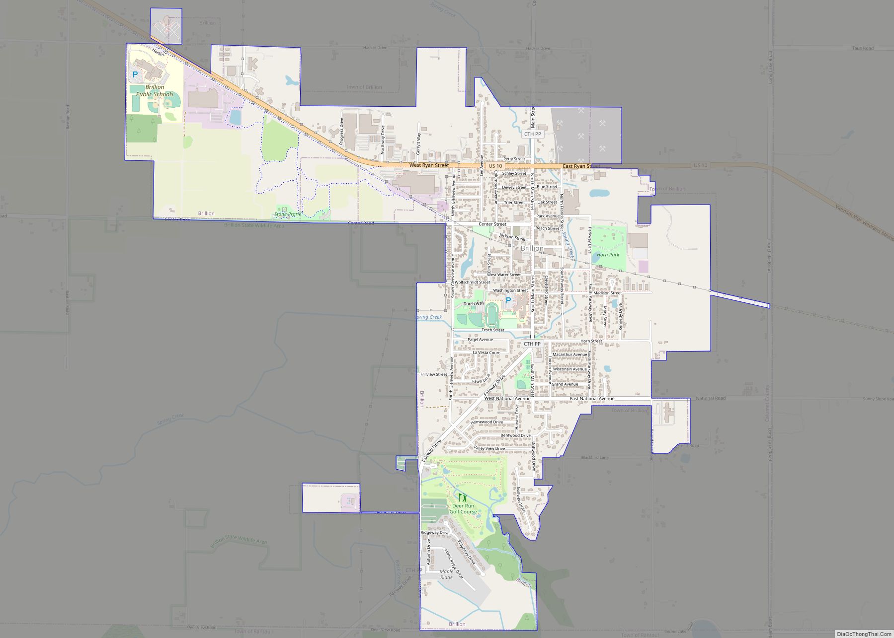
Brillion is a city in Calumet County in the U.S. state of Wisconsin. The population was 3,327 as of July 1, 2019. The city is located within the Town of Brillion, though it is politically independent. Brillion city overview: Name: Brillion city LSAD Code: 25 LSAD Description: city (suffix) State: Wisconsin County: Calumet County Elevation: ... Read more
Butler is a village in Waukesha County, Wisconsin, United States. The population was 1,787 at the 2020 census. Butler village overview: Name: Butler village LSAD Code: 47 LSAD Description: village (suffix) State: Wisconsin County: Waukesha County Total Area: 0.79 sq mi (2.05 km²) Land Area: 0.78 sq mi (2.02 km²) Water Area: 0.01 sq mi (0.03 km²) Total Population: 1,787 Population Density: 2,302.18/sq mi (888.78/km²) ... Read more
Brandon is a village in Fond du Lac County, Wisconsin, United States. The population was 879 at the 2010 census. Brandon village overview: Name: Brandon village LSAD Code: 47 LSAD Description: village (suffix) State: Wisconsin County: Fond du Lac County Elevation: 1,001 ft (305 m) Total Area: 0.76 sq mi (1.98 km²) Land Area: 0.76 sq mi (1.96 km²) Water Area: 0.01 sq mi (0.02 km²) ... Read more
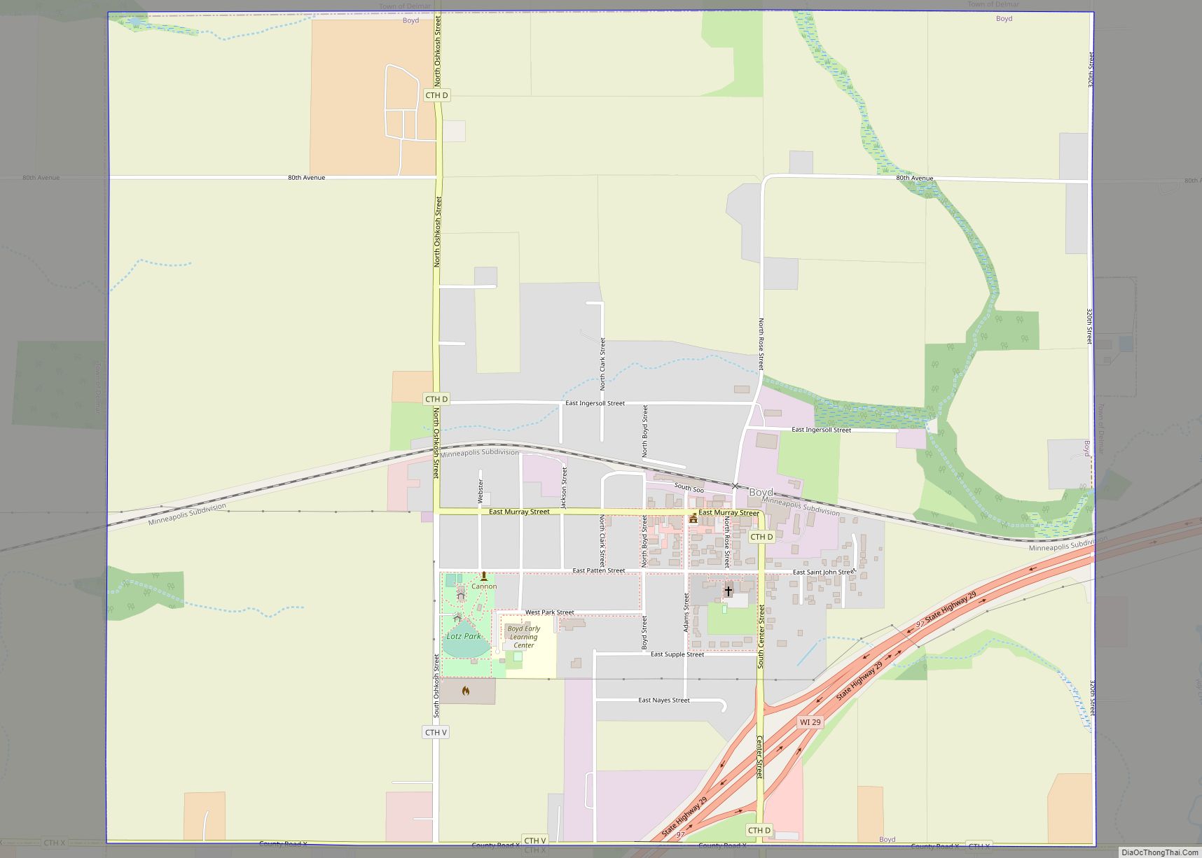
Boyd is an autonomous village in the town of Delmar, Chippewa County, Wisconsin, United States. The population was 552 at the 2010 census. Boyd village overview: Name: Boyd village LSAD Code: 47 LSAD Description: village (suffix) State: Wisconsin County: Chippewa County Elevation: 1,109 ft (338 m) Total Area: 1.85 sq mi (4.80 km²) Land Area: 1.85 sq mi (4.80 km²) Water Area: 0.00 sq mi ... Read more
Burlington is a city in Racine and Walworth counties in the U.S. state of Wisconsin, with the majority of the city located in Racine County. The population of the city was 11,047 as of the 2020 census. Burlington city overview: Name: Burlington city LSAD Code: 25 LSAD Description: city (suffix) State: Wisconsin County: Racine County, ... Read more
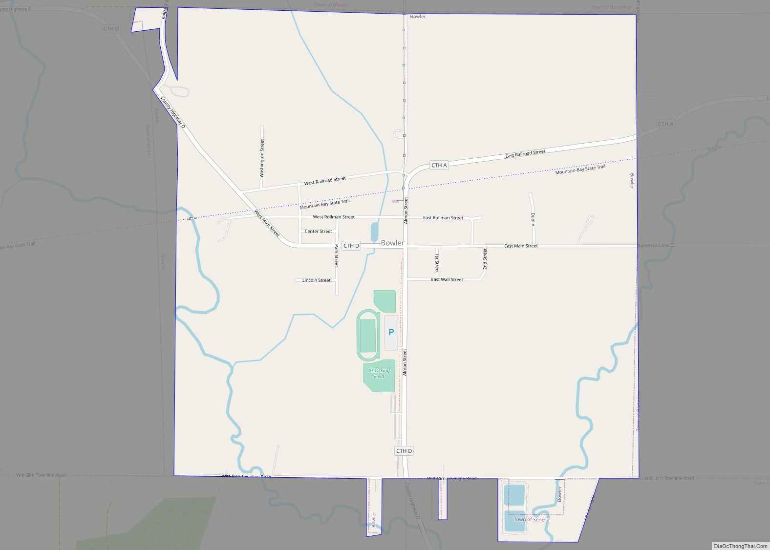
Bowler is a village in Shawano County, Wisconsin, United States. The population was 302 at the 2010 census. Bowler village overview: Name: Bowler village LSAD Code: 47 LSAD Description: village (suffix) State: Wisconsin County: Shawano County Elevation: 1,073 ft (327 m) Total Area: 1.04 sq mi (2.69 km²) Land Area: 1.04 sq mi (2.69 km²) Water Area: 0.00 sq mi (0.00 km²) Total Population: 302 Population ... Read more
Brule is an unincorporated, census-designated place; located in the town of Brule, Douglas County, Wisconsin, United States. U.S. Highway 2, Wisconsin Highway 27, and County Road H are the main routes in the community of Brule. Brule is located 6.5 miles east-northeast of Lake Nebagamon; 30 miles east of the city of Superior; and 35 ... Read more
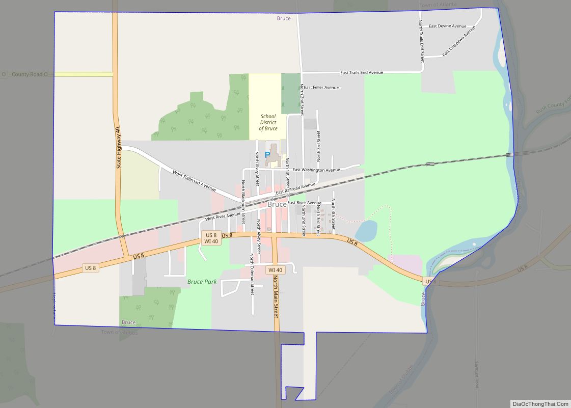
Bruce is a village in Rusk County, Wisconsin, United States. The population was 779 at the 2010 census. The village was founded in 1884 by the Sault Ste. Marie Land and Improvement Company. The land company was incorporated and led by the principal officers of the Minneapolis, Sault Ste. Marie and Atlantic Railway, which operated ... Read more
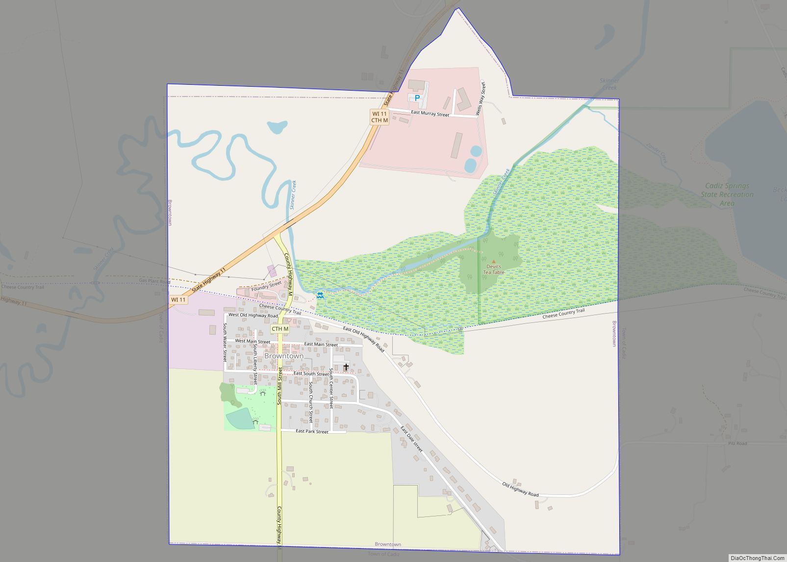
Browntown is a village in Green County, Wisconsin, United States. The population was 280 at the 2010 census. Browntown village overview: Name: Browntown village LSAD Code: 47 LSAD Description: village (suffix) State: Wisconsin County: Green County Elevation: 837 ft (255 m) Total Area: 1.05 sq mi (2.73 km²) Land Area: 1.05 sq mi (2.73 km²) Water Area: 0.00 sq mi (0.00 km²) Total Population: 280 Population ... Read more
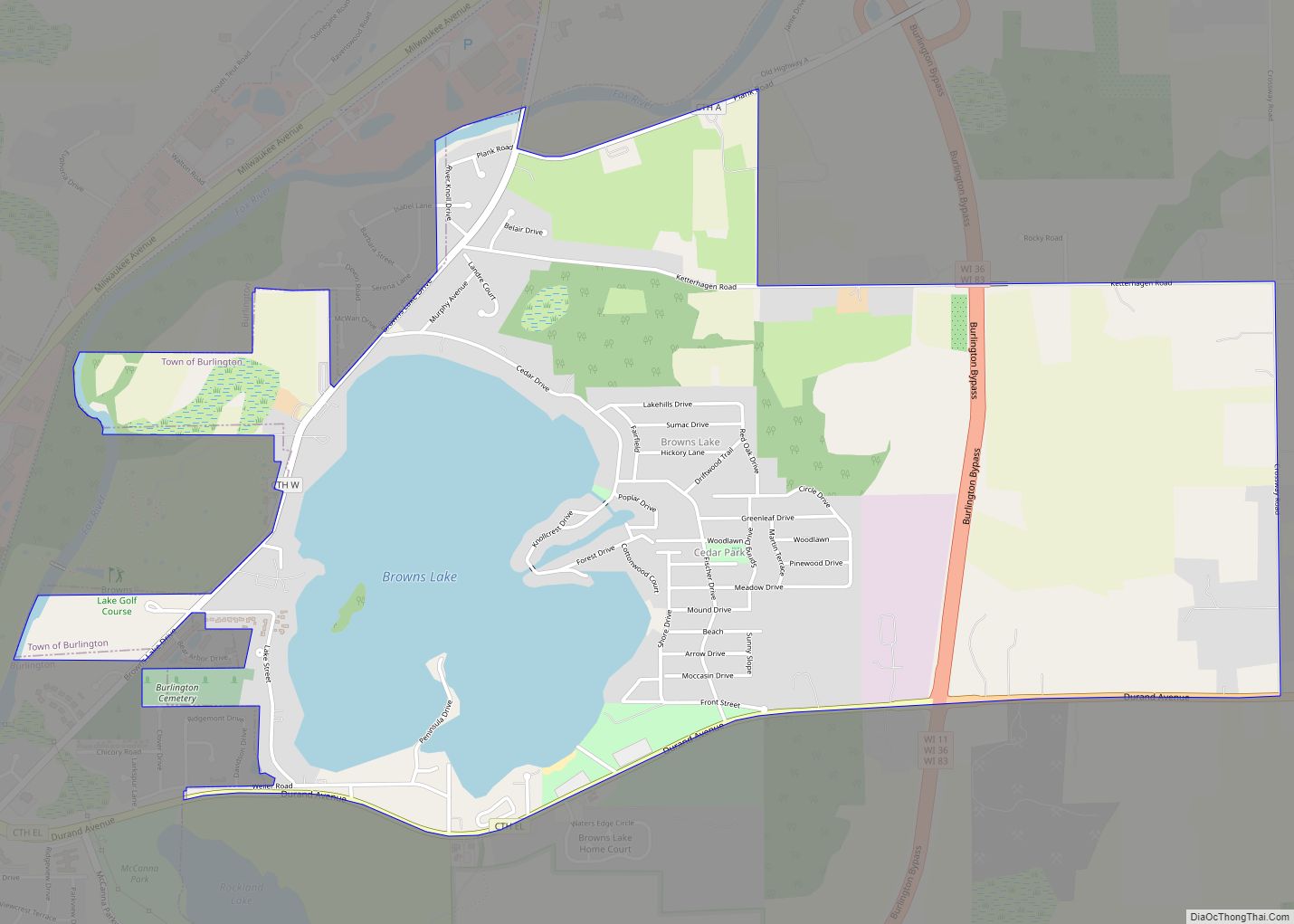
Browns Lake is a census-designated place (CDP) in Racine County, Wisconsin around a lake of the same name. The population was 1,879 at the 2020 census. It is politically a part of the town of Burlington, along with Bohners Lake. Browns Lake CDP overview: Name: Browns Lake CDP LSAD Code: 57 LSAD Description: CDP (suffix) ... Read more
