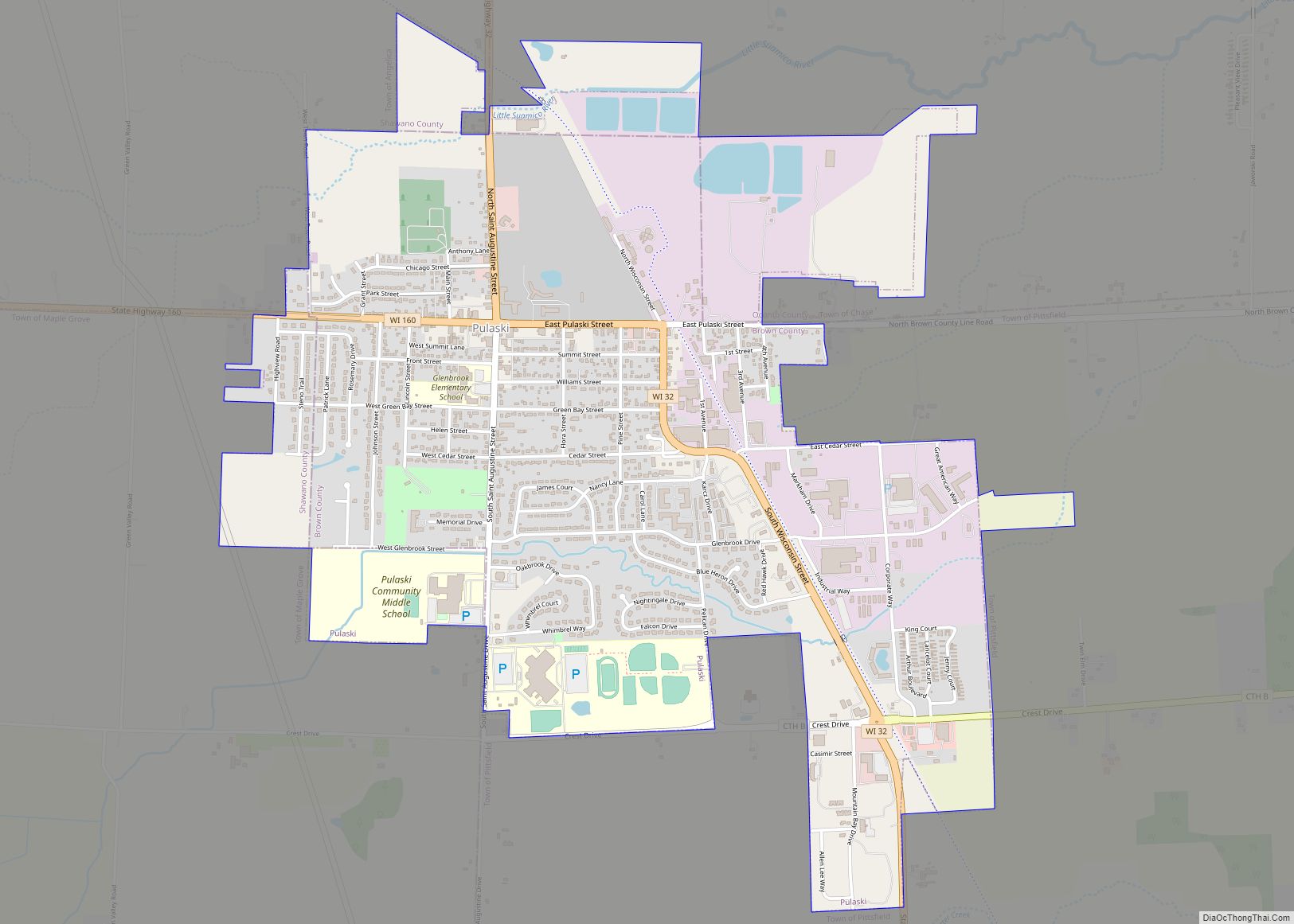
Map of Weyerhaeuser village

Map of Weyerhaeuser village

Weyerhaeuser is a village in Rusk County, Wisconsin, United States. The population was 238 at the 2010 census. Weyerhaeuser village overview: Name: Weyerhaeuser village LSAD Code: 47 LSAD Description: village (suffix) State: Wisconsin County: Rusk County Elevation: 1,188 ft (362 m) Total Area: 0.95 sq mi (2.45 km²) Land Area: 0.94 sq mi (2.42 km²) Water Area: 0.01 sq mi (0.03 km²) Total Population: 238 Population … Read more

Map of Weyauwega city

Map of Weyauwega city

Weyauwega is a city in Waupaca County, Wisconsin, United States. The population was 1,900 at the 2010 census. The city is located mostly within the Town of Weyauwega, though it is politically independent of the town. Small portions extend north into the adjacent Town of Royalton. The city is commonly referred to as “Wega” by … Read more

Map of Weston village, Wisconsin

Map of Weston village, Wisconsin

Weston is a village in Marathon County, Wisconsin. It is part of the Wausau Metropolitan Statistical Area. The population was 14,868 at the time of the 2010 census. Weston village overview: Name: Weston village LSAD Code: 47 LSAD Description: village (suffix) State: Wisconsin County: Marathon County Elevation: 1,250 ft (381 m) Total Area: 21.64 sq mi (56.05 km²) Land Area: … Read more

Map of Westfield village, Wisconsin

Map of Westfield village, Wisconsin

Westfield is a village in Marquette County, Wisconsin, United States. The population was 1,254 at the 2010 census. The village is located mostly within the Town of Westfield. A small portion extends east into the adjacent Town of Harris. The Marquette County fairgrounds is located within the village limits on the south side. Westfield village … Read more

Map of Westby city, Wisconsin

Map of Westby city, Wisconsin

Westby is a city in Vernon County, Wisconsin, United States. The population was 2,332 as of the 2020 census. The name “Westby” is a Norwegian name and literally translates to “Western city”. Westby city overview: Name: Westby city LSAD Code: 25 LSAD Description: city (suffix) State: Wisconsin County: Vernon County Incorporated: 1896 Elevation: 1,299 ft (396 m) … Read more

Map of Woodruff CDP, Wisconsin

Map of Woodruff CDP, Wisconsin

Woodruff is a census-designated place in the Town of Woodruff in Oneida County, Wisconsin, United States. Woodruff CDP overview: Name: Woodruff CDP LSAD Code: 57 LSAD Description: CDP (suffix) State: Wisconsin County: Oneida County Elevation: 1,608 ft (490 m) Total Area: 1.434 sq mi (3.71 km²) Land Area: 1.409 sq mi (3.65 km²) Water Area: 0.025 sq mi (0.06 km²) Total Population: 966 Population Density: 670/sq mi … Read more

Map of Wilson village, Wisconsin

Map of Wilson village, Wisconsin

Wilson is a village in St. Croix County, Wisconsin, United States. The population was 184 at the 2010 census. Wilson village overview: Name: Wilson village LSAD Code: 47 LSAD Description: village (suffix) State: Wisconsin County: St. Croix County Total Area: 1.71 sq mi (4.42 km²) Land Area: 1.71 sq mi (4.42 km²) Water Area: 0.00 sq mi (0.00 km²) Total Population: 184 Population Density: … Read more

Map of Woodman village

Map of Woodman village

Woodman is a town in Grant County in the U.S. state of Wisconsin. The population was 195 at the 2000 census. The Village of Woodman is located within the town. Woodman village overview: Name: Woodman village LSAD Code: 47 LSAD Description: village (suffix) State: Wisconsin County: Grant County FIPS code: 5588825 Online Interactive Map Woodman … Read more

Map of Williams Bay village

Map of Williams Bay village

Williams Bay is a village in Walworth County, Wisconsin, United States. It is one of three municipalities on Geneva Lake. The population was 2,953 at the 2020 census. Williams Bay village overview: Name: Williams Bay village LSAD Code: 47 LSAD Description: village (suffix) State: Wisconsin County: Walworth County Elevation: 879 ft (268 m) Total Area: 2.78 sq mi (7.20 km²) … Read more

Map of Woodford CDP, Wisconsin

Map of Woodford CDP, Wisconsin

Woodford is an unincorporated community and census-designated place (CDP) in Lafayette County, Wisconsin, United States. Woodford is south of Argyle, in the town of Wiota. Woodford has a post office with ZIP code 53599. As of the 2010 census, its population is 69. Woodford CDP overview: Name: Woodford CDP LSAD Code: 57 LSAD Description: CDP … Read more

Map of Wonewoc village

Map of Wonewoc village

Wonewoc is a town in Juneau County, Wisconsin, United States. The population was 783 at the 2000 census. The Village of Wonewoc and the village of Union Center are located within the town. Wonewoc village overview: Name: Wonewoc village LSAD Code: 47 LSAD Description: village (suffix) State: Wisconsin County: Juneau County FIPS code: 5588500 Online … Read more

Map of Wittenberg village

Map of Wittenberg village

Wittenberg is a town in Shawano County, Wisconsin, United States. As of the 2000 census, the town had a total population of 894. The Village of Wittenberg is located within the town. The unincorporated community of Whitcomb is also located within the town. Wittenberg village overview: Name: Wittenberg village LSAD Code: 47 LSAD Description: village … Read more