River Falls is a city in Pierce and St. Croix counties in the U.S. state of Wisconsin. It is adjacent to the Town of River Falls in Pierce County and the Town of Kinnickinnic in St. Croix County. River Falls is the most populous city in Pierce County. The population was 16,182 at the 2020 census, with 11,851 residing in Pierce County and 3,149 in St. Croix County. It is part of the Minneapolis-St. Paul metropolitan area and located approximately 30 miles (48 km) east of the center of that region.
River Falls is the home of the University of Wisconsin–River Falls.
| Name: | River Falls city |
|---|---|
| LSAD Code: | 25 |
| LSAD Description: | city (suffix) |
| State: | Wisconsin |
| County: | Pierce County, St. Croix County |
| Total Area: | 7.27 sq mi (18.83 km²) |
| Land Area: | 7.19 sq mi (18.61 km²) |
| Water Area: | 0.08 sq mi (0.21 km²) |
| Total Population: | 15,000 |
| Population Density: | 2,230.00/sq mi (861.05/km²) |
| Area code: | 715 & 534 |
| FIPS code: | 5568275 |
| Website: | http://www.rfcity.org |
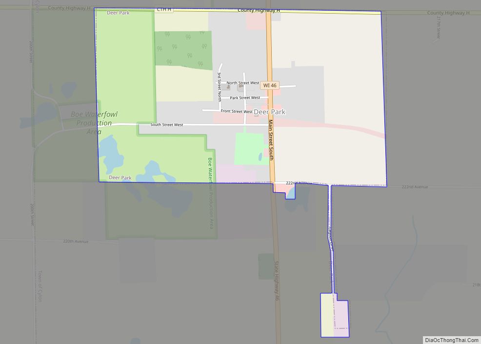
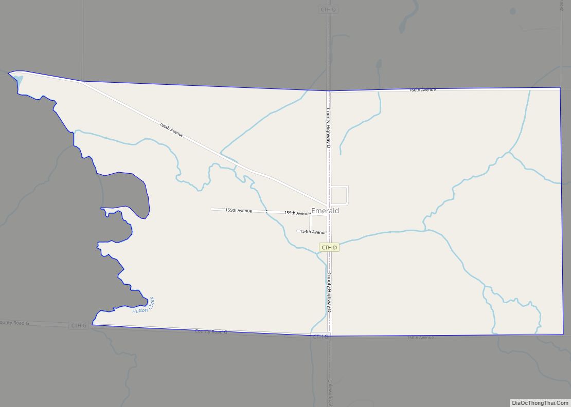
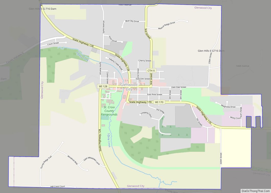
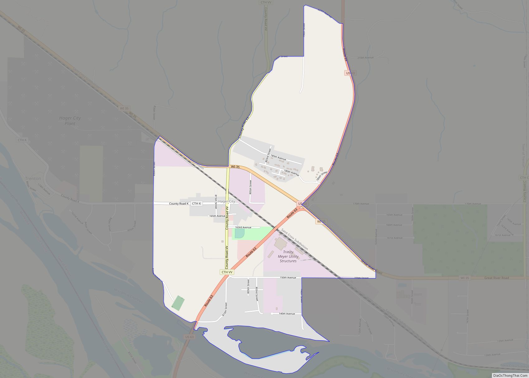
Online Interactive Map
Click on ![]() to view map in "full screen" mode.
to view map in "full screen" mode.
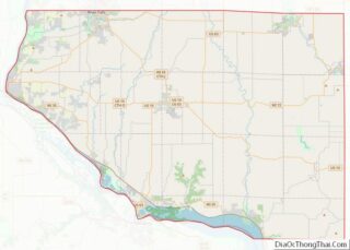
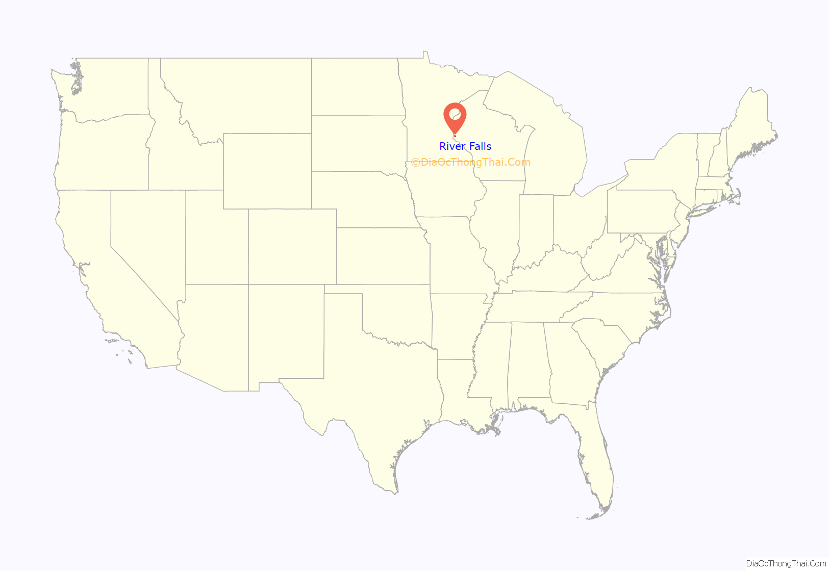
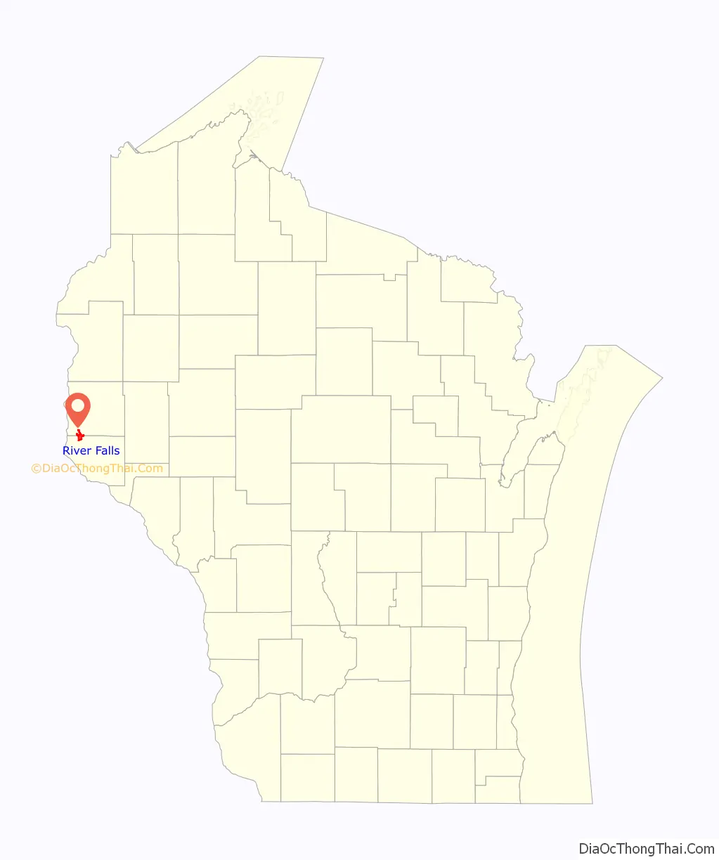
River Falls location map. Where is River Falls city?
History
The city’s first settlers were Joel Foster and his indentured servant, Dick, in 1848. The village was started as Kinnickinnic in 1854 by brothers Nathaniel N. and Oliver S. Powell, who were from St. Lawrence County, New York. At the time, the town and village were also known as Greenwood, but this was changed, as another Greenwood, Wisconsin already existed. The present name comes from the Kinnickinnic River rapids.
On June 23, 1893, a lightning bolt hit the center circus pole at a Ringling Brothers circus performance in River Falls, injuring multiple audience members and performers and killing seven.
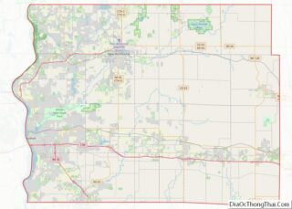
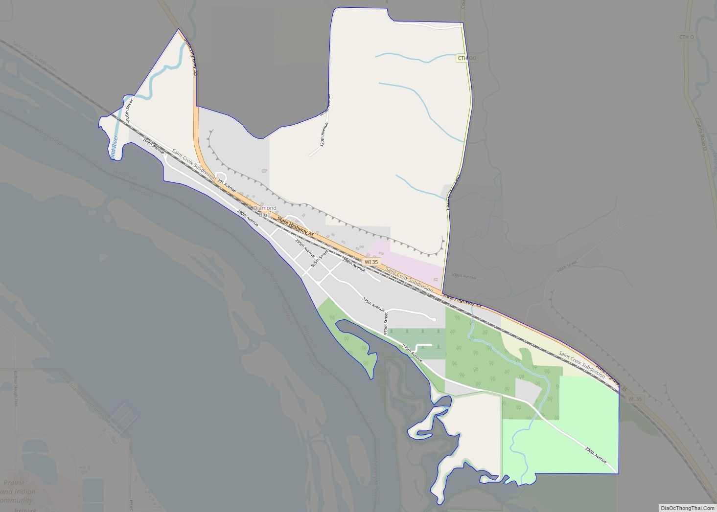
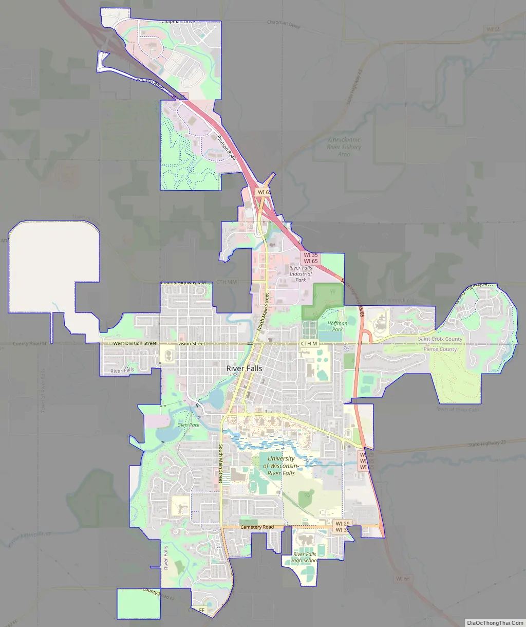
River Falls Road Map
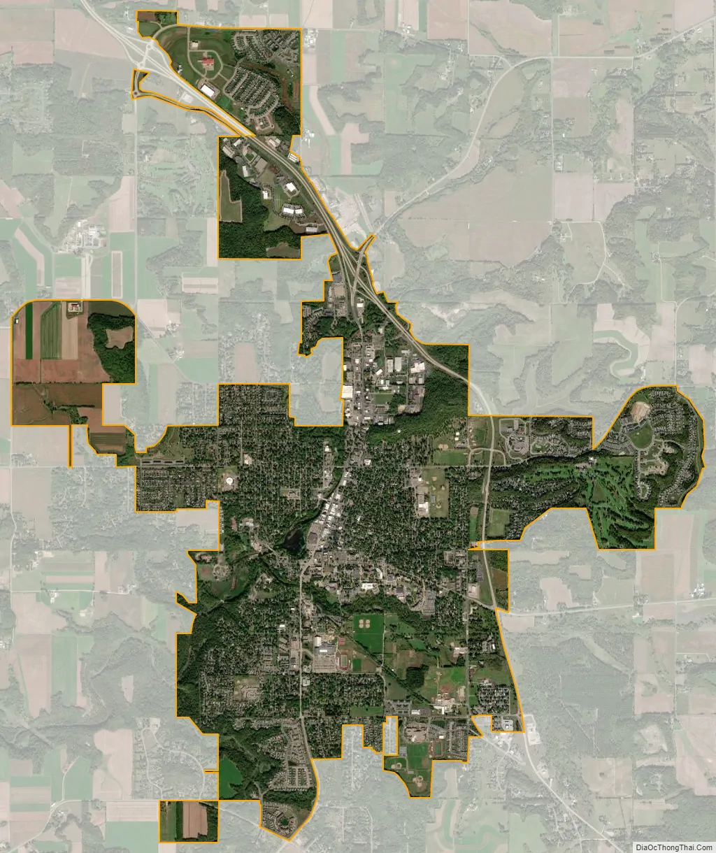
River Falls city Satellite Map
Geography
River Falls is located at 45°55′27″N 92°37′30″W / 45.92417°N 92.62500°W / 45.92417; -92.62500 (44.858701, −92.625097).
According to the United States Census Bureau, the city has a total area of 6.60 square miles (17.09 km), of which 6.52 square miles (16.89 km) is land and 0.08 square miles (0.21 km) is water.
River Falls lies on the banks of the Kinnickinnic River, a class one trout stream. The South Fork of the Kinnickinnic River runs through the city, dividing the University of Wisconsin-River Falls campus into two sections.
See also
Map of Wisconsin State and its subdivision:- Adams
- Ashland
- Barron
- Bayfield
- Brown
- Buffalo
- Burnett
- Calumet
- Chippewa
- Clark
- Columbia
- Crawford
- Dane
- Dodge
- Door
- Douglas
- Dunn
- Eau Claire
- Florence
- Fond du Lac
- Forest
- Grant
- Green
- Green Lake
- Iowa
- Iron
- Jackson
- Jefferson
- Juneau
- Kenosha
- Kewaunee
- La Crosse
- Lafayette
- Lake Michigan
- Lake Superior
- Langlade
- Lincoln
- Manitowoc
- Marathon
- Marinette
- Marquette
- Menominee
- Milwaukee
- Monroe
- Oconto
- Oneida
- Outagamie
- Ozaukee
- Pepin
- Pierce
- Polk
- Portage
- Price
- Racine
- Richland
- Rock
- Rusk
- Saint Croix
- Sauk
- Sawyer
- Shawano
- Sheboygan
- Taylor
- Trempealeau
- Vernon
- Vilas
- Walworth
- Washburn
- Washington
- Waukesha
- Waupaca
- Waushara
- Winnebago
- Wood
- Alabama
- Alaska
- Arizona
- Arkansas
- California
- Colorado
- Connecticut
- Delaware
- District of Columbia
- Florida
- Georgia
- Hawaii
- Idaho
- Illinois
- Indiana
- Iowa
- Kansas
- Kentucky
- Louisiana
- Maine
- Maryland
- Massachusetts
- Michigan
- Minnesota
- Mississippi
- Missouri
- Montana
- Nebraska
- Nevada
- New Hampshire
- New Jersey
- New Mexico
- New York
- North Carolina
- North Dakota
- Ohio
- Oklahoma
- Oregon
- Pennsylvania
- Rhode Island
- South Carolina
- South Dakota
- Tennessee
- Texas
- Utah
- Vermont
- Virginia
- Washington
- West Virginia
- Wisconsin
- Wyoming