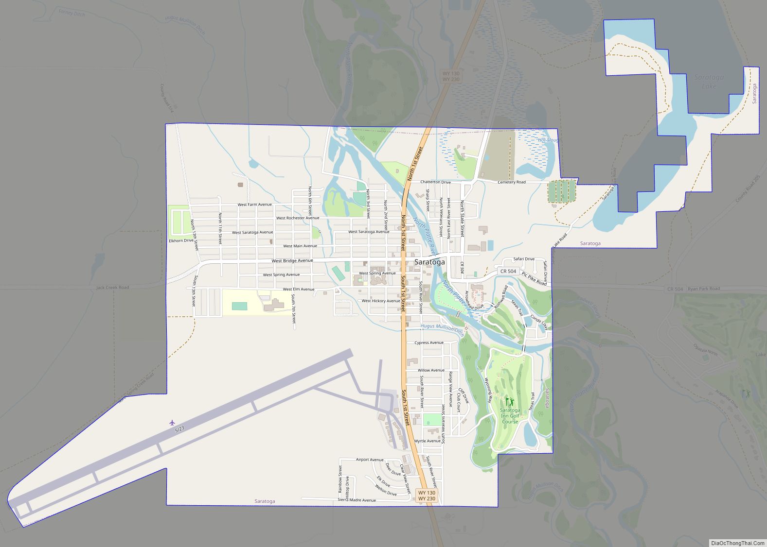
Map of Sheridan city, Wyoming
Sheridan is a town in the U.S. state of Wyoming and the county seat of Sheridan County. The town is located halfway between Yellowstone Park and Mount Rushmore by U.S. Route 14 and 16. It is the principal town of the Sheridan, Wyoming, Micropolitan Statistical Area which encompasses all of Sheridan County. The 2010 census ... Read more
Map of Sheridan city, Wyoming
Map of Wilson CDP, Wyoming
Wilson is a census-designated place (CDP) in Teton County, Wyoming, United States. The population was 1,567 at the 2020 census, up from 1,482 in 2010. It is part of the Jackson, WY–ID Micropolitan Statistical Area. Wilson was pioneered in 1889 by Elijah Nicholas Wilson, known for having lived with the Shoshone Indians as a boy ... Read more
Map of Wilson CDP, Wyoming
Map of Teton Village CDP
Teton Village is a census-designated place (CDP) in Teton County, Wyoming, United States. The population was 330 at the 2010 census. The village surrounds the base of the Jackson Hole Mountain Resort. It is accessed from nearby Jackson and the surrounding area via the Moose-Wilson Road (Wyoming highway 390). Teton Village is part of the ... Read more
Map of Teton Village CDP
Map of Whiting CDP, Wyoming
Whiting is a census-designated place in Platte County, Wyoming, United States. The population was 83 at the 2010 census. Whiting CDP overview: Name: Whiting CDP LSAD Code: 57 LSAD Description: CDP (suffix) State: Wyoming County: Platte County FIPS code: 5683100 Online Interactive Map Whiting online map. Source: Basemap layers from Google Map, Open Street Map ... Read more
Map of Whiting CDP, Wyoming
Map of Wheatland town, Wyoming
Wheatland is a town in and the county seat of Platte County in southeastern Wyoming, United States. The population was 3,627 at the 2010 census. Wheatland town overview: Name: Wheatland town LSAD Code: 43 LSAD Description: town (suffix) State: Wyoming County: Platte County Elevation: 4,751 ft (1,448 m) Total Area: 4.10 sq mi (10.61 km²) Land Area: 4.10 sq mi (10.61 km²) Water ... Read more
Map of Wheatland town, Wyoming
Map of Westview Circle CDP
Westview Circle is a census-designated place (CDP) in Platte County, Wyoming, United States. The population was 52 at the 2010 census. Westview Circle CDP overview: Name: Westview Circle CDP LSAD Code: 57 LSAD Description: CDP (suffix) State: Wyoming County: Platte County Elevation: 4,731 ft (1,442 m) Total Area: 2.3 sq mi (6.0 km²) Land Area: 2.3 sq mi (5.9 km²) Water Area: 0.0 sq mi ... Read more
Map of Westview Circle CDP
Map of Washam CDP
Washam is a census-designated place (CDP) in Sweetwater County, Wyoming, United States. The population was 51 at the 2010 census. Washam CDP overview: Name: Washam CDP LSAD Code: 57 LSAD Description: CDP (suffix) State: Wyoming County: Sweetwater County Elevation: 6,861 ft (2,091 m) Total Area: 3.1 sq mi (8 km²) Land Area: 3.1 sq mi (8 km²) Water Area: 0.0 sq mi (0 km²) Total Population: ... Read more
Map of Washam CDP
Map of Warren AFB CDP
Francis E. Warren Air Force Base (ICAO: KFEW, FAA LID: FEW), shortened as F.E. Warren AFB is a United States Air Force base (AFB) located approximately 3 miles (4.8 km) west of Cheyenne, Wyoming. It is one of three strategic-missile bases in the U.S. It was named in honor of Francis E. Warren in 1930. Warren ... Read more
Map of Warren AFB CDP
Map of Wamsutter town
Wamsutter is a town in Sweetwater County, Wyoming, United States. The population was 203 at the 2020 census. The original inhabitants of the area were the Shoshone and Ute tribes. Westerners only began to settle in the county with the coming of the railroad in the 1860s. Originally, the town was known as Washakie. Confusion ... Read more
Map of Wamsutter town
Map of Vista West CDP
Vista West is a census-designated place (CDP) in Natrona County, Wyoming, United States. It is part of the Casper, Wyoming Metropolitan Statistical Area. The population was 951 at the 2010 census. Vista West CDP overview: Name: Vista West CDP LSAD Code: 57 LSAD Description: CDP (suffix) State: Wyoming County: Natrona County Total Area: 4.8 sq mi (12 km²) ... Read more
Map of Vista West CDP
Map of Veteran CDP
Veteran is a census-designated place (CDP) located in Goshen County, Wyoming, United States. The population was 23 at the 2010 census. Veteran CDP overview: Name: Veteran CDP LSAD Code: 57 LSAD Description: CDP (suffix) State: Wyoming County: Goshen County Elevation: 4,239 ft (1,292 m) Total Area: 1.3 sq mi (3.5 km²) Land Area: 1.3 sq mi (3.5 km²) Water Area: 0.0 sq mi (0.0 km²) Total ... Read more
Map of Veteran CDP
Map of Van Tassell town
Van Tassell is a town in Niobrara County, Wyoming, United States. The population was 15 at the 2010 census. It is the least populous town in the least populous county of the least populous state in the U.S. Van Tassell town overview: Name: Van Tassell town LSAD Code: 43 LSAD Description: town (suffix) State: Wyoming ... Read more
Map of Van Tassell town