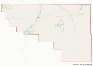
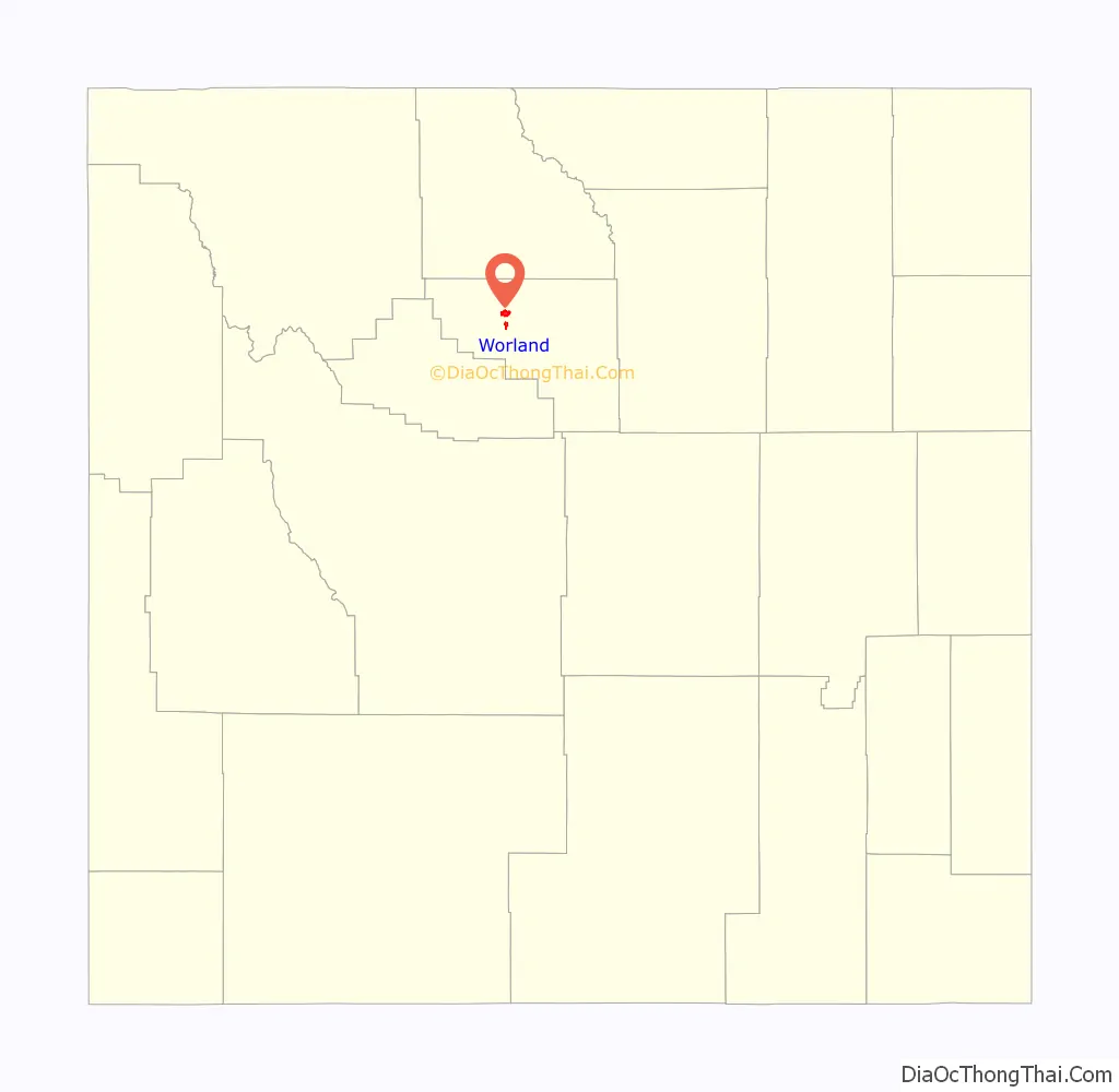
Worland is a city in Washakie County, Wyoming, United States. The population was 5,487 at the 2010 census. It is the county seat of Washakie County. It is located within the Big Horn Basin and along the Big Horn River in northwestern Wyoming.
| Name: | Worland city |
|---|---|
| LSAD Code: | 25 |
| LSAD Description: | city (suffix) |
| State: | Wyoming |
| County: | Washakie County |
| Incorporated: | 1906 |
| Elevation: | 4,065 ft (1,239 m) |
| Total Area: | 4.64 sq mi (12.02 km²) |
| Land Area: | 4.59 sq mi (11.88 km²) |
| Water Area: | 0.06 sq mi (0.14 km²) 1.72% |
| Total Population: | 5,487 |
| Population Density: | 1,095.27/sq mi (422.89/km²) |
| ZIP code: | 82401 |
| Area code: | 307 |
| FIPS code: | 5684925 |
| GNISfeature ID: | 1596624 |
| Website: | www.cityofworland.org |
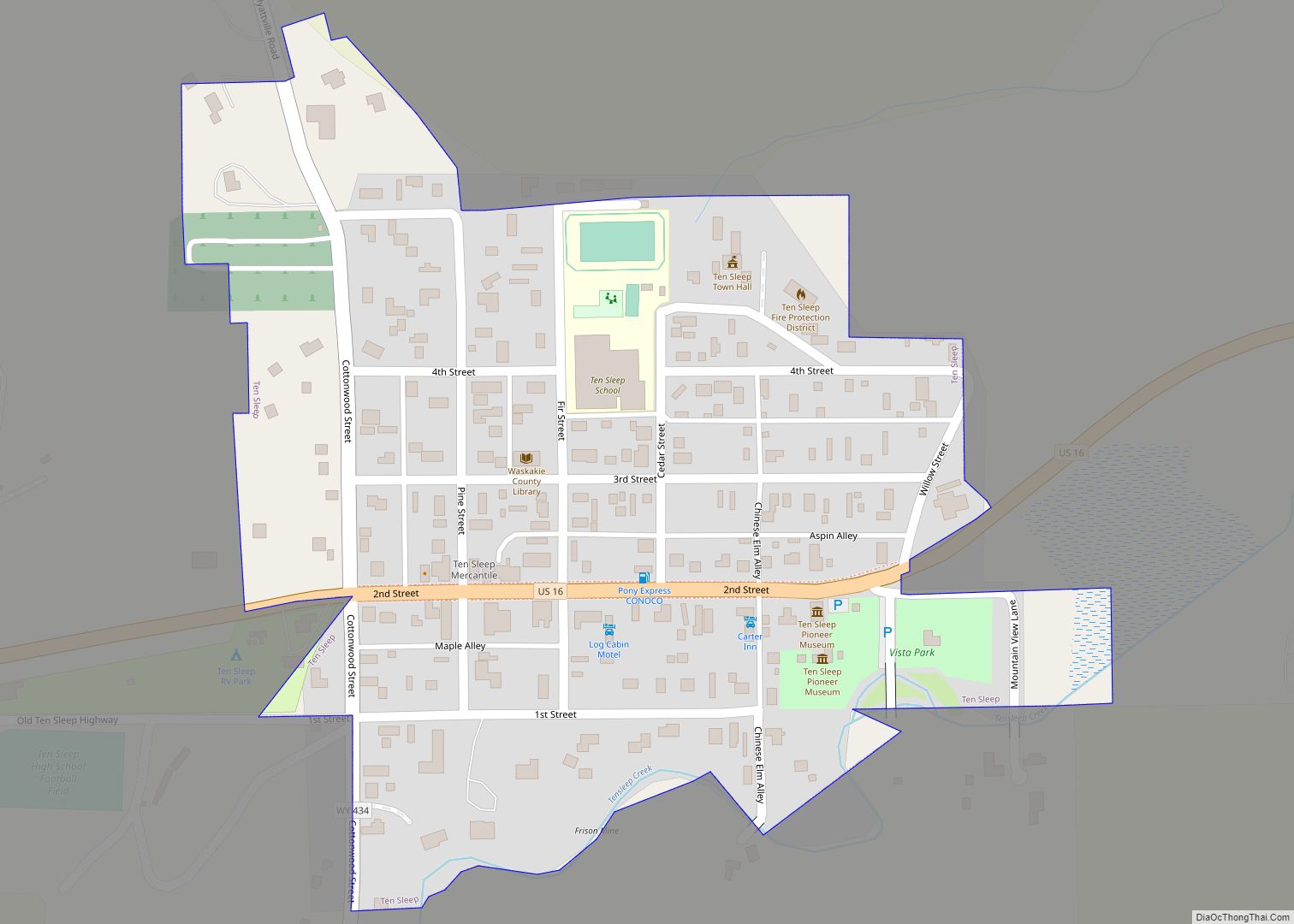
Online Interactive Map
Click on ![]() to view map in "full screen" mode.
to view map in "full screen" mode.
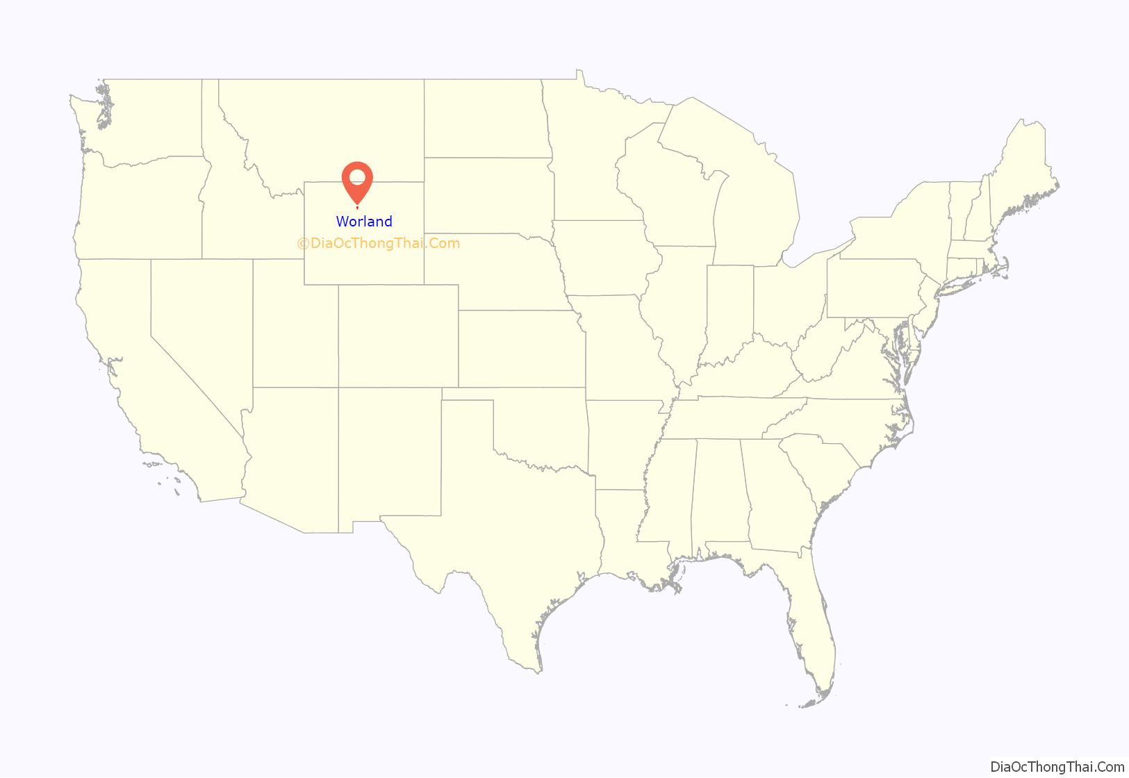
Worland location map. Where is Worland city?
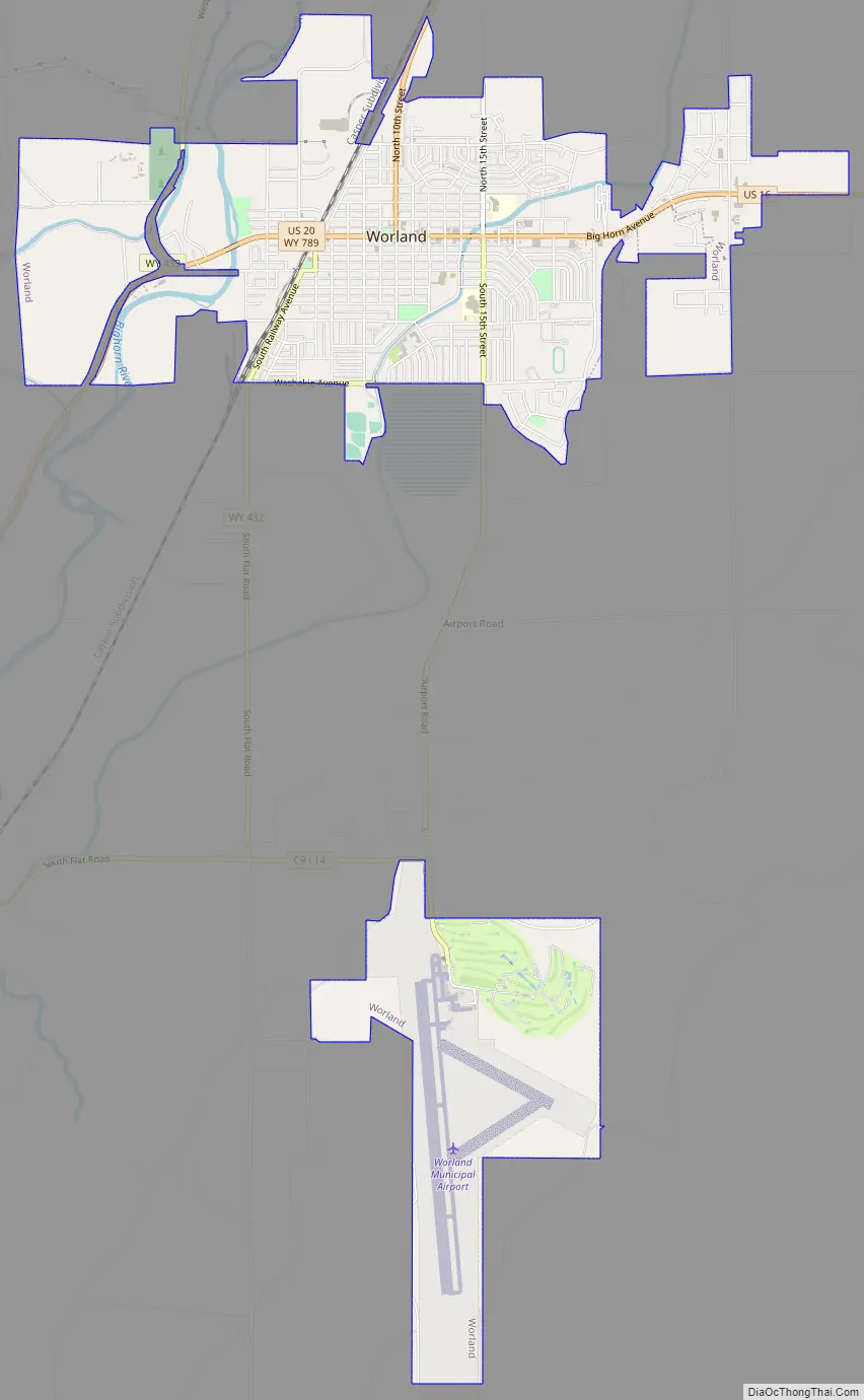
Worland Road Map
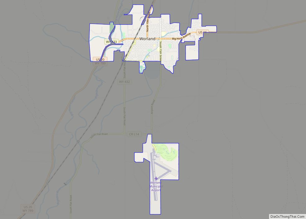
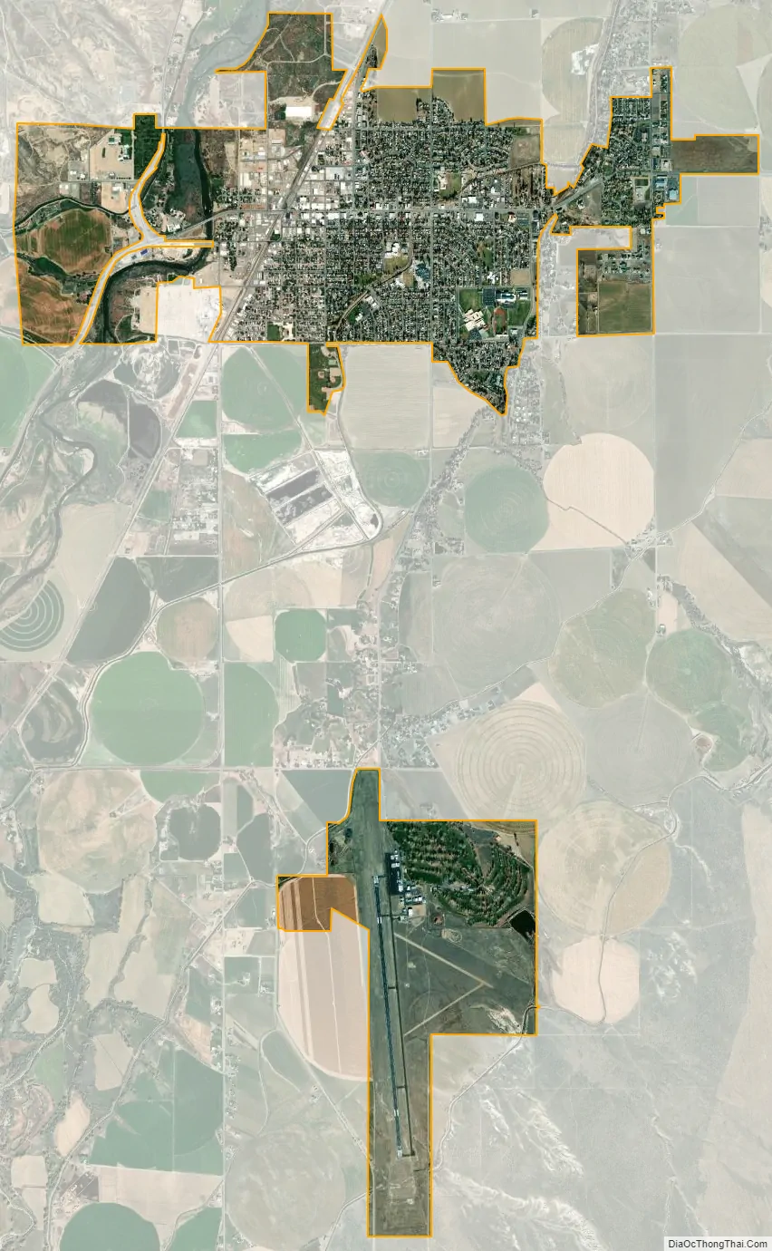
Worland city Satellite Map
Geography
Worland is located on the Big Horn River, in the Big Horn Basin.
According to the United States Census Bureau, the city has a total area of 4.64 square miles (12.02 km), of which 4.56 square miles (11.81 km) is land and 0.08 square miles (0.21 km) is water.
Due to the location within the Big Horn Basin, it is protected from severe weather by the surrounding mountains from nearly every direction. This topography results in weather that is highly continental with frigid and dry winters, little wind, little rainfall and few storms. Worland is the least windy municipality located in the State of Wyoming.
Worland falls into USDA Hardiness Zone 4b.
According to the Köppen Climate Classification system, Worland has a cool semi-arid climate, abbreviated BSk on climate maps, although it borders on a cool arid climate (BWk). The hottest temperature recorded in Worland was 109 °F (42.8 °C) on June 15-16, 2021 and July 20, 2021, while the coldest temperature recorded was −51 °F (−46.1 °C) on January 17, 1930 and February 9, 1936.
See also
Map of Wyoming State and its subdivision: Map of other states:- Alabama
- Alaska
- Arizona
- Arkansas
- California
- Colorado
- Connecticut
- Delaware
- District of Columbia
- Florida
- Georgia
- Hawaii
- Idaho
- Illinois
- Indiana
- Iowa
- Kansas
- Kentucky
- Louisiana
- Maine
- Maryland
- Massachusetts
- Michigan
- Minnesota
- Mississippi
- Missouri
- Montana
- Nebraska
- Nevada
- New Hampshire
- New Jersey
- New Mexico
- New York
- North Carolina
- North Dakota
- Ohio
- Oklahoma
- Oregon
- Pennsylvania
- Rhode Island
- South Carolina
- South Dakota
- Tennessee
- Texas
- Utah
- Vermont
- Virginia
- Washington
- West Virginia
- Wisconsin
- Wyoming