Thermopolis is the county seat and largest town in Hot Springs County, Wyoming, United States. As of the 2020 U.S. Census, the town population was 2,725.
Thermopolis is Greek for “hot city.” It is home to numerous natural hot springs, in which mineral-laden waters are heated by geothermal processes. The town is named for the hot springs located there.
The town claims the world’s largest mineral hot spring, appropriately named “The Big Spring”, as part of Hot Springs State Park. The springs are open to the public for free as part of an 1896 treaty signed with the Shoshone and Arapaho Indian tribes.
Dinosaur fossils were found on the Warm Springs Ranch in 1993, and the Wyoming Dinosaur Center was founded soon after.
| Name: | Thermopolis town |
|---|---|
| LSAD Code: | 43 |
| LSAD Description: | town (suffix) |
| State: | Wyoming |
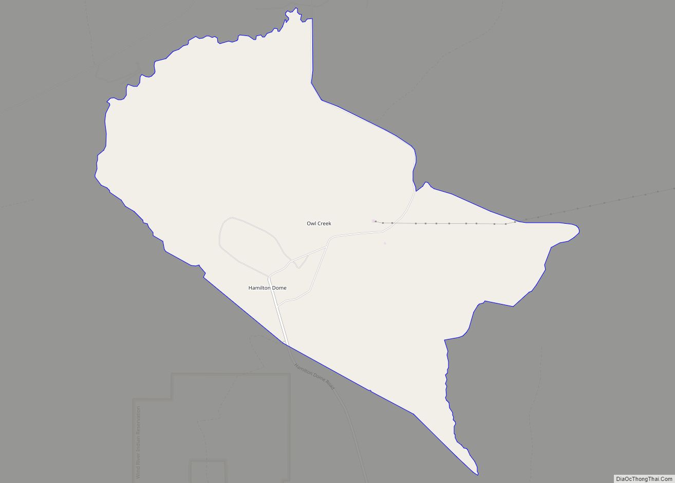
| County: | Hot Springs County |
| Elevation: | 4,331 ft (1,320 m) |
| Total Area: | 2.47 sq mi (6.39 km²) |
| Land Area: | 2.39 sq mi (6.18 km²) |
| Water Area: | 0.08 sq mi (0.21 km²) |
| Total Population: | 2,725 |
| Population Density: | 1,157.94/sq mi (447.11/km²) |
| ZIP code: | 82443 |
| Area code: | 307 |
| FIPS code: | 5676515 |
| Website: | www.townofthermopolis.com |
Online Interactive Map
Click on ![]() to view map in "full screen" mode.
to view map in "full screen" mode.
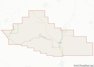
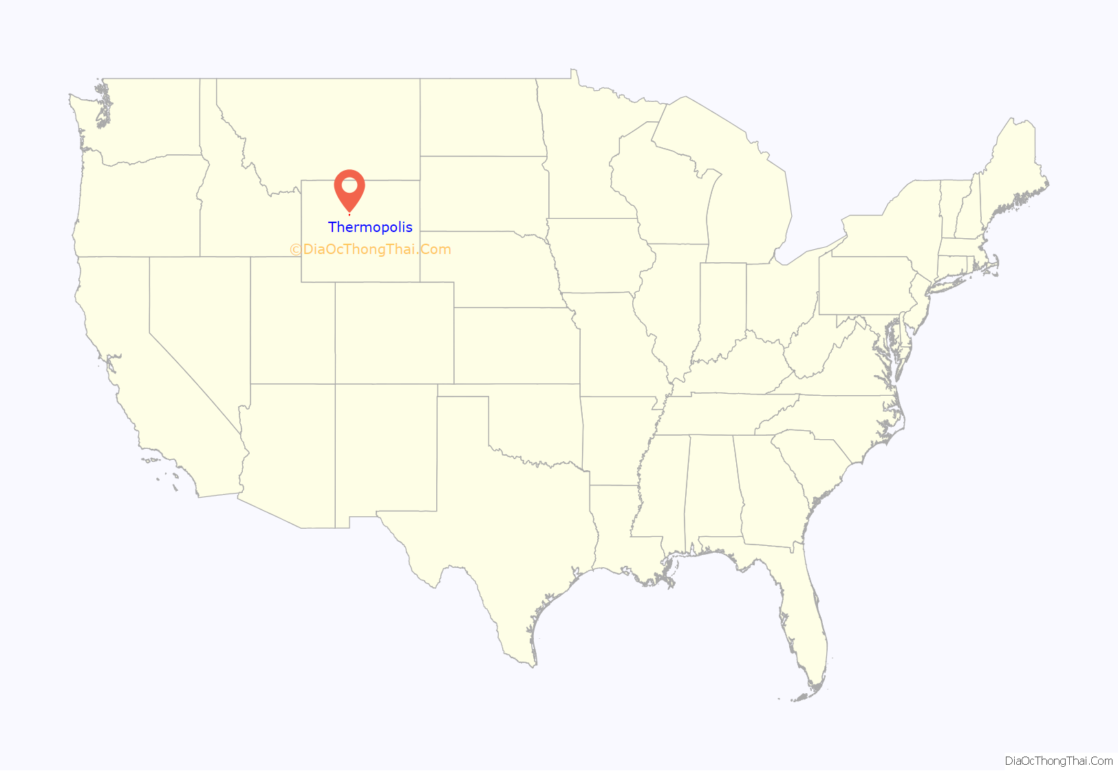
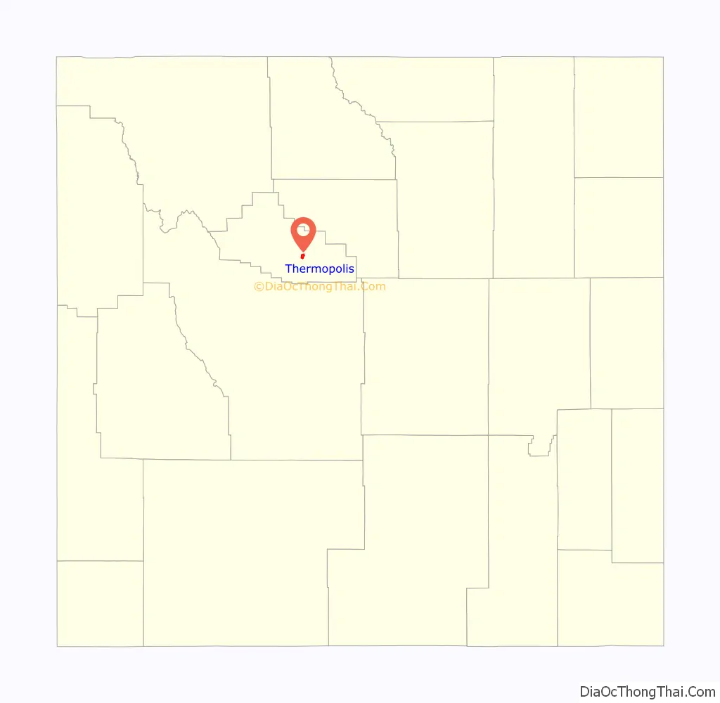
Thermopolis location map. Where is Thermopolis town?
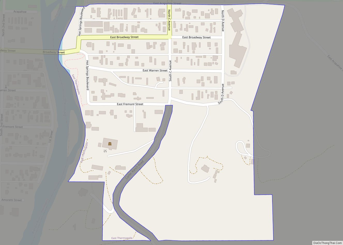
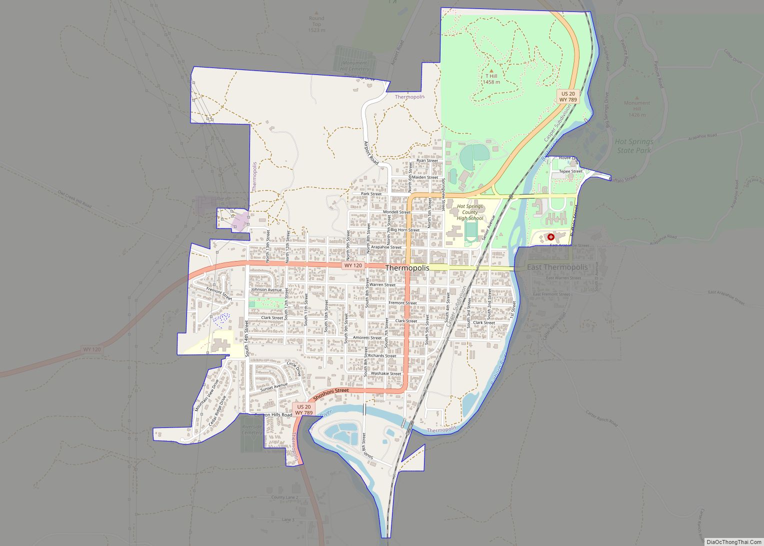
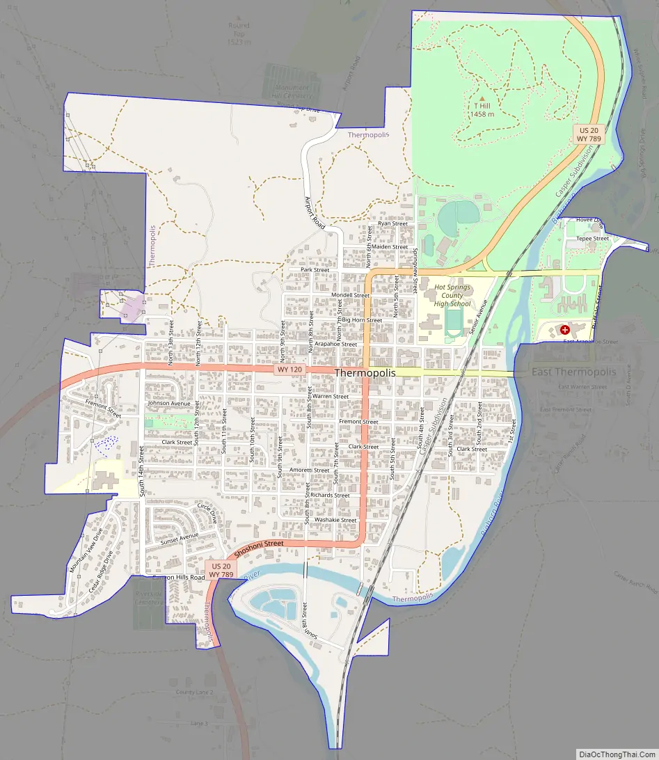
Thermopolis Road Map
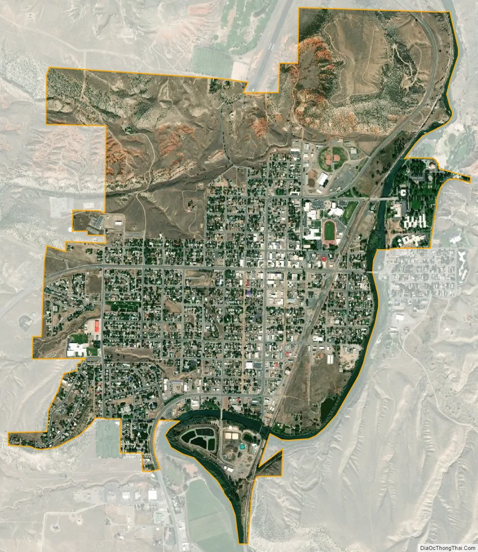
Thermopolis city Satellite Map
Geography
Thermopolis is located near the northern end of the Wind River Canyon and Wedding of the Waters, where the north-flowing Wind River becomes the Bighorn River. It is an unusual instance of a river changing names at a point other than a confluence of two streams. The dual name is ascribed to the mountain barrier between the Wind River and Bighorn basins, obscuring the fact that the river that drains the two is the same. The term “Wedding of the Waters” dates to at least 1934, when a marker was placed at the location.
Thermopolis is ringed by mountains, with the Big Horn Mountains to the northeast, the Bridger Mountains to the southeast, the Owl Creek Mountains to the southwest and the Absaroka Range to the northwest. Thermopolis is the southernmost municipality in the Big Horn Basin.
Roundtop Mountain, on the northern edge of town, is a unique geological formation shaped much like a volcano. It sits at approximately 6,000 feet (1,800 m) and is the highest area in the immediate vicinity of Thermopolis.
A large body of water, Boysen Reservoir, lies approximately 17 miles (27 km) south of Thermopolis and is inhabited by many species of fish including rainbow trout, cutthroat trout, brown trout, walleye, northern pike and perch among others.
According to the United States Census Bureau, the town has a total area of 2.47 square miles (6.40 km), of which 2.38 square miles (6.16 km) is land and 0.09 square miles (0.23 km) is water.
Climate
According to the Köppen Climate Classification system, Thermopolis has a cool semi-arid climate, abbreviated BSk on climate maps. The hottest temperature recorded in Thermopolis was 107 °F (42 °C) on July 25, 1929, while the coldest temperature recorded was −44 °F (−42 °C) on January 16, 1930.
See also
Map of Wyoming State and its subdivision: Map of other states:- Alabama
- Alaska
- Arizona
- Arkansas
- California
- Colorado
- Connecticut
- Delaware
- District of Columbia
- Florida
- Georgia
- Hawaii
- Idaho
- Illinois
- Indiana
- Iowa
- Kansas
- Kentucky
- Louisiana
- Maine
- Maryland
- Massachusetts
- Michigan
- Minnesota
- Mississippi
- Missouri
- Montana
- Nebraska
- Nevada
- New Hampshire
- New Jersey
- New Mexico
- New York
- North Carolina
- North Dakota
- Ohio
- Oklahoma
- Oregon
- Pennsylvania
- Rhode Island
- South Carolina
- South Dakota
- Tennessee
- Texas
- Utah
- Vermont
- Virginia
- Washington
- West Virginia
- Wisconsin
- Wyoming