Sundance (Lakota: Owíwaŋyaŋg Wačhí; “Sun-watching Dance”) is a town in and the county seat of Crook County, Wyoming, United States. Its population was 1,032 at the 2020 census. The town is named after the Sun Dance ceremony practiced by several American Indian tribes.
| Name: | Sundance town |
|---|---|
| LSAD Code: | 43 |
| LSAD Description: | town (suffix) |
| State: | Wyoming |
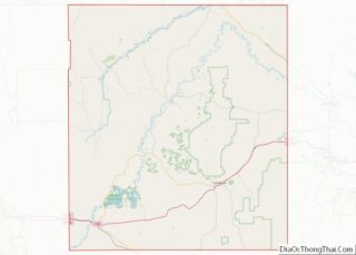
| County: | Crook County |
| Elevation: | 4,738 ft (1,444 m) |
| Total Area: | 3.06 sq mi (7.93 km²) |
| Land Area: | 3.05 sq mi (7.90 km²) |
| Water Area: | 0.01 sq mi (0.02 km²) |
| Total Population: | 1,032 |
| Population Density: | 423.47/sq mi (163.49/km²) |
| ZIP code: | 82729 |
| Area code: | 307 |
| FIPS code: | 5674195 |
| GNISfeature ID: | 1603438 |
| Website: | http://www.cityofsundancewy.com/ |
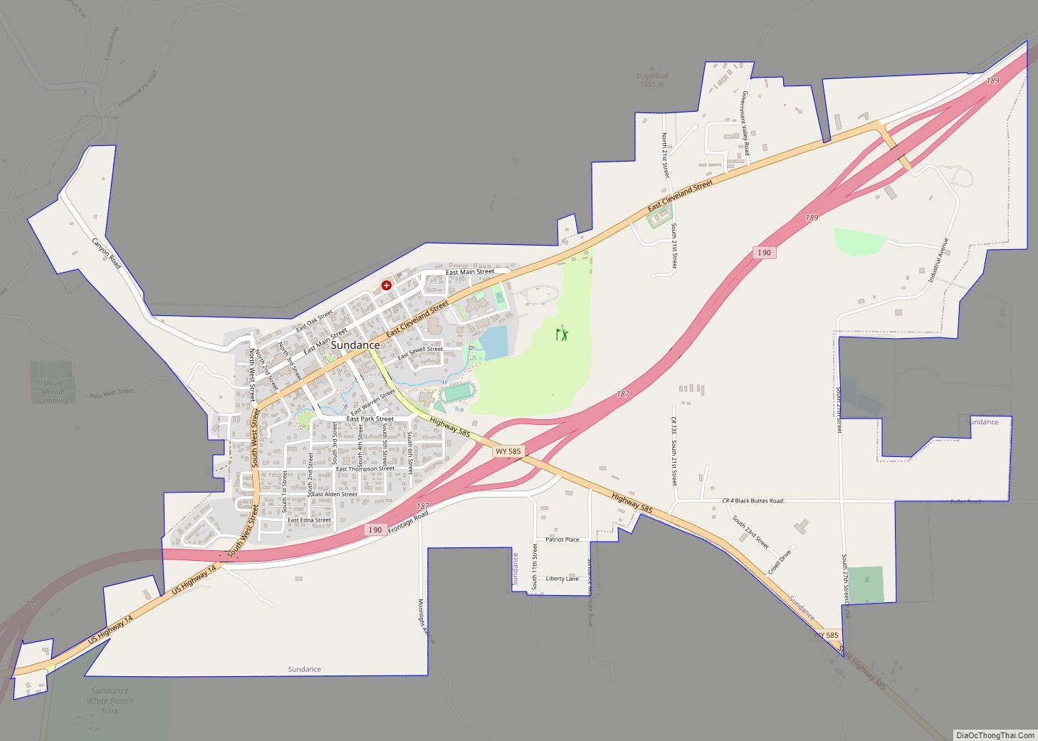
Online Interactive Map
Click on ![]() to view map in "full screen" mode.
to view map in "full screen" mode.
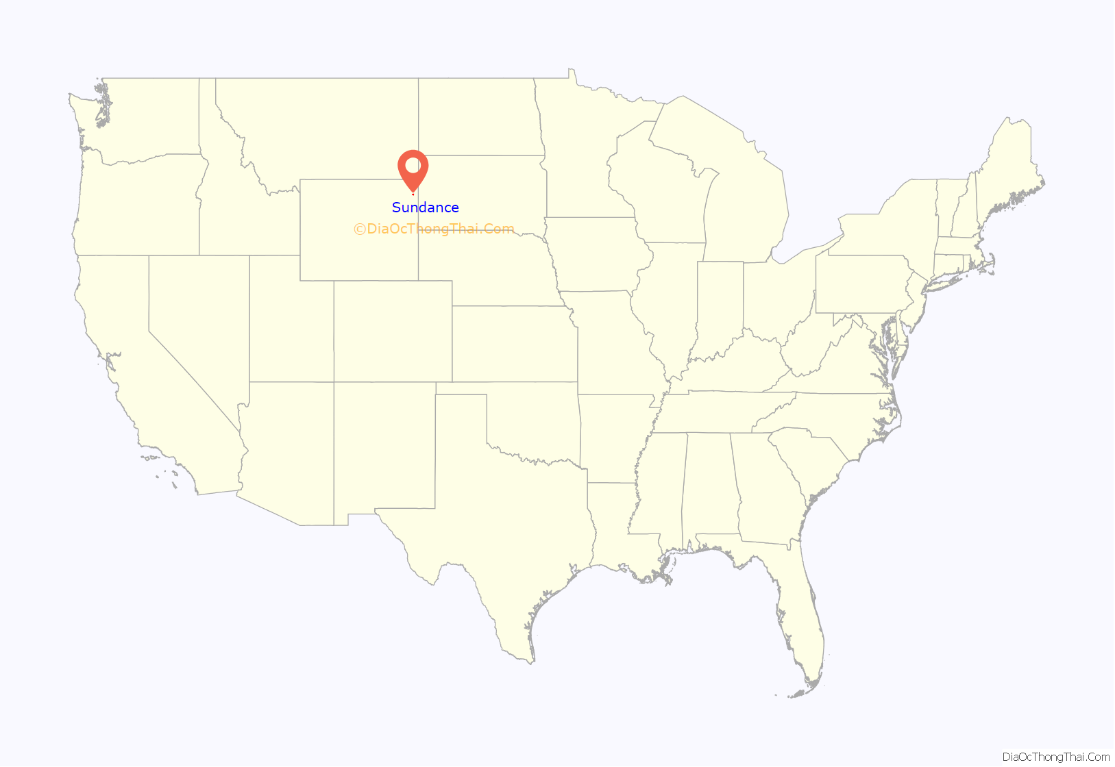
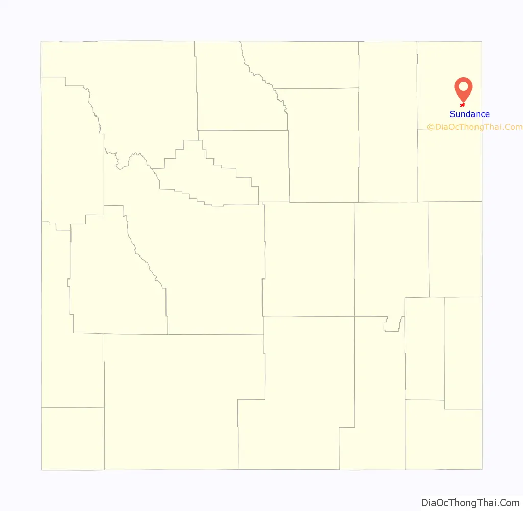
Sundance location map. Where is Sundance town?
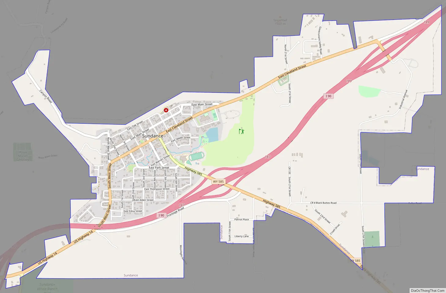
Sundance Road Map
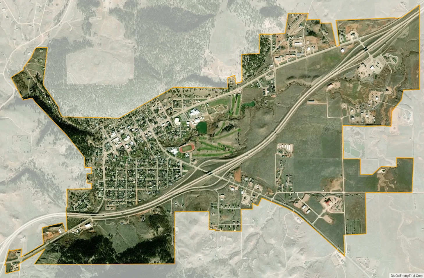
Sundance city Satellite Map
Geography
According to the United States Census Bureau, the town has a total area of 3.06 square miles (7.93 km), of which 0.01 square miles (0.03 km) is covered by water.
The town is directly south of the Bear Lodge Mountains, part of the Black Hills National Forest.
Skyline
Climate
Sundance experiences a humid continental climate (Köppen climate classification Dfb) with higher precipitation than the semiarid regions surrounding it due to its location in the Black Hills.
See also
Map of Wyoming State and its subdivision: Map of other states:- Alabama
- Alaska
- Arizona
- Arkansas
- California
- Colorado
- Connecticut
- Delaware
- District of Columbia
- Florida
- Georgia
- Hawaii
- Idaho
- Illinois
- Indiana
- Iowa
- Kansas
- Kentucky
- Louisiana
- Maine
- Maryland
- Massachusetts
- Michigan
- Minnesota
- Mississippi
- Missouri
- Montana
- Nebraska
- Nevada
- New Hampshire
- New Jersey
- New Mexico
- New York
- North Carolina
- North Dakota
- Ohio
- Oklahoma
- Oregon
- Pennsylvania
- Rhode Island
- South Carolina
- South Dakota
- Tennessee
- Texas
- Utah
- Vermont
- Virginia
- Washington
- West Virginia
- Wisconsin
- Wyoming