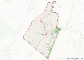
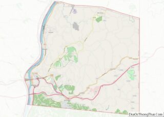
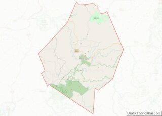
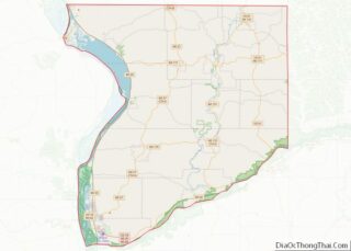
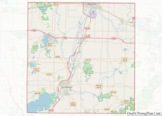
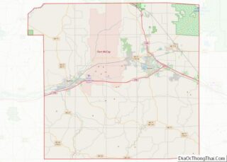
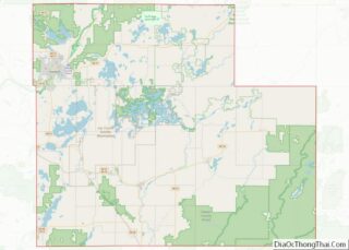
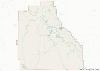
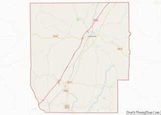
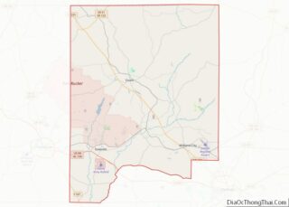
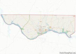
Map of Desoto County, Florida
Desoto County overview: Name: Desoto County FIPS code: 12-027 State: Florida Founded: May 19, 1887 Named for: Hernando de Soto Seat: Arcadia Largest city: Arcadia Total Area: 639 sq mi (1,660 km²) Land Area: 637 sq mi (1,650 km²) Total Population: 33,976 Population Density: 55/sq mi (21/km²) Time zone: UTC−5 (Eastern) Summer Time Zone (DST): UTC−4 (EDT) Website: www.desotobocc.com Desoto County location ... Read more
Map of Desoto County, Florida
Map of Holmes County, Florida
Holmes County is a county located in the northwestern part of the U.S. state of Florida, in the Panhandle. As of the 2020 census, the population was 19,653. Its county seat is Bonifay. Holmes County overview: Name: Holmes County FIPS code: 12-059 State: Florida Founded: January 8, 1848 Seat: Bonifay Largest city: Bonifay Total Area: ... Read more
Map of Holmes County, Florida
Map of Nassau County, Florida
Nassau County is the northeasternmost county of the U.S. state of Florida. According to the 2020 United States Census, the county’s population was 90,352. The county seat and the largest incorporated city is Fernandina Beach. Nassau County is part of the Jacksonville metropolitan area, which was home to 1,534,701 people in 2018. The county is situated ... Read more
Map of Nassau County, Florida
Map of Suwannee County, Florida
Suwannee County is a county located in the north central portion of the state of Florida. As of the 2020 census, the population was 43,474, up from 41,551 in 2010. Its county seat is Live Oak. Suwannee County was a dry county until August 2011, when the sale of alcoholic beverages became legal in the ... Read more
Map of Suwannee County, Florida
Map of Berrien County, Georgia
Berrien County is a county located in the south central portion of the U.S. state of Georgia. As of the 2020 census, the population was 18,160. The county seat is Nashville. The county was created February 25, 1856 out of portions of Coffee, Irwin and Lowndes Counties by an act of the Georgia General Assembly. ... Read more
Map of Berrien County, Georgia
Map of Chattahoochee County, Georgia
Chattahoochee County, also known as Cusseta-Chattahoochee County, is a county located on the western border in central Georgia. As of the 2020 census, the population was 9,565. The county seat is Cusseta, with which the county shares a consolidated city-county government. The city of Cusseta remains a geographically distinct municipality within Chattahoochee County. The county ... Read more
Map of Chattahoochee County, Georgia
Map of Dawson County, Georgia
Dawson County is a county located in the north-central portion of the U.S. state of Georgia. As of the 2020 census, the population was 26,798 up from 22,330 in 2010. The county seat is Dawsonville. Dawson County is included in the Atlanta-Sandy Springs-Roswell, Georgia Metropolitan Statistical Area. Its natural resources include Amicalola Falls, the highest ... Read more
Map of Dawson County, Georgia
Map of Forsyth County, Georgia
Forsyth County (/fɔːrˈsaɪθ/ for-SYTHE or /ˈfɔːrsaɪθ/ FOR-sythe) is a county in the north-central portion of the U.S. state of Georgia. Suburban and exurban in character, Forsyth County lies within the Atlanta Metropolitan Area. The county’s only incorporated city and county seat is Cumming. At the 2020 census, the population was 251,283. Forsyth was the fastest-growing ... Read more
Map of Forsyth County, Georgia
Map of Heard County, Georgia
Heard County is a county located in the west central portion of the U.S. state of Georgia. At the 2020 census, the population was 11,412, down from 11,834 in 2010. The county seat is Franklin. The county was created on December 22, 1830. Heard County is included in the Atlanta-Sandy Springs-Roswell, GA Metropolitan Statistical Area. ... Read more
Map of Heard County, Georgia
Map of Lincoln County, Georgia
Lincoln County is a county located in the east central portion of the U.S. state of Georgia. As of the 2020 census, the population was 7,690. The county seat is Lincolnton. The county was created on February 20, 1796. Lincoln County is included in the Augusta-Richmond County, GA-SC Metropolitan Statistical Area, the Savannah River forming ... Read more
Map of Lincoln County, Georgia
Map of Muscogee County, Georgia
Muscogee County is a county located on the central western border of the U.S. state of Georgia; its western border with the state of Alabama is formed by the Chattahoochee River. As of the 2020 census, the population was 206,922. Its county seat and only city is Columbus, with which it has been a consolidated ... Read more
Map of Muscogee County, Georgia
Map of Rockdale County, Georgia
Rockdale County is a county located in the U.S. state of Georgia. As of the 2020 census, the population was 93,570 up from 85,215 in 2010. The county seat is Conyers. Rockdale County is included in the Atlanta-Sandy Springs-Roswell, GA Metropolitan Statistical Area. Rockdale County overview: Name: Rockdale County FIPS code: 13-247 State: Georgia Founded: ... Read more
Map of Rockdale County, Georgia