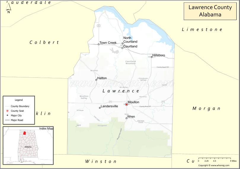
Lawrence County is a county in the northern part of the U.S. state of Alabama. As of the 2020 census, the population was 33,073. The county seat is Moulton. The county was named after James Lawrence, a captain in the United States Navy from New Jersey.
Lawrence County is included in the Decatur, AL Metropolitan Statistical Area, which is also included in the Huntsville-Decatur-Albertville, AL Combined Statistical Area.
| Name: | Lawrence County |
|---|---|
| FIPS code: | 01-079 |
| State: | Alabama |
| Founded: | February 6, 1818 |
| Named for: | James Lawrence |
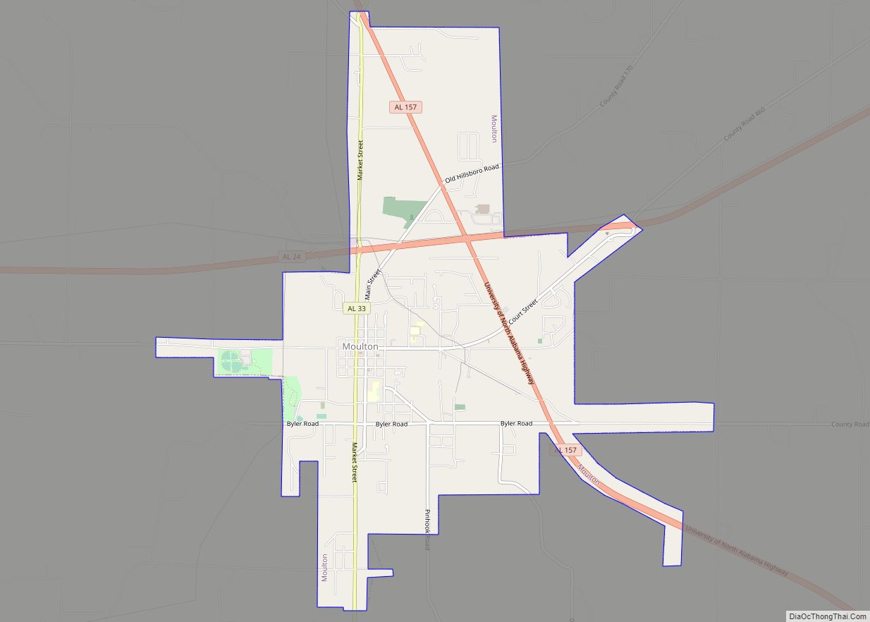
| Seat: | Moulton |
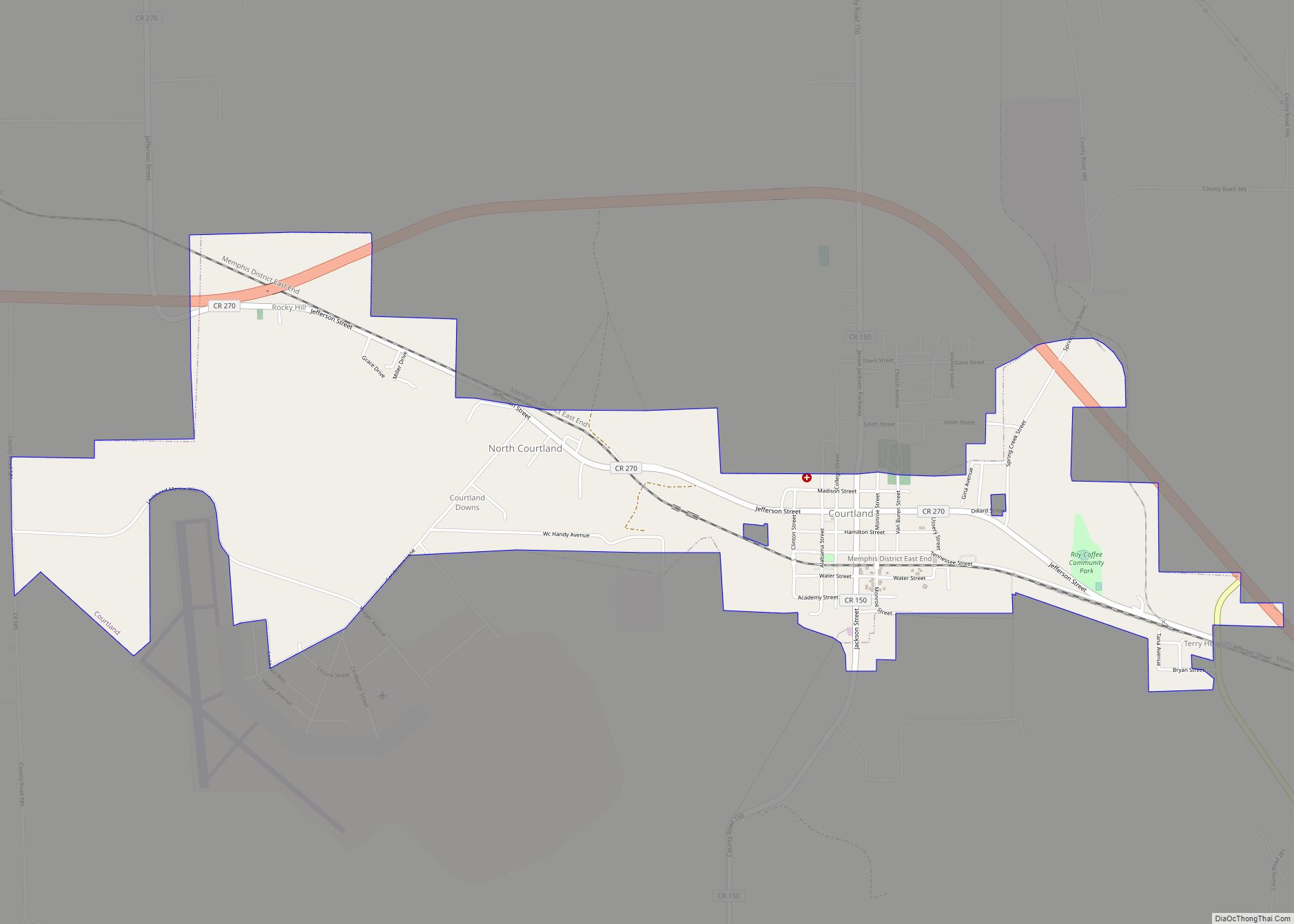
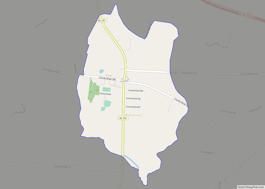
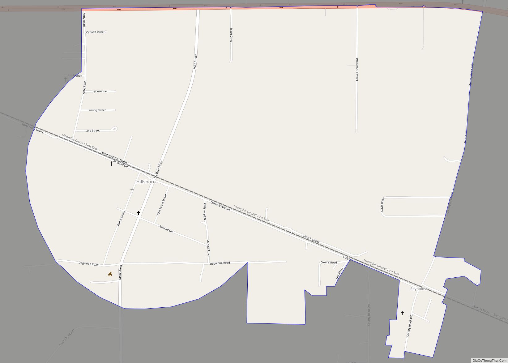
| Largest city: | Moulton |
| Total Area: | 717 sq mi (1,860 km²) |
| Land Area: | 691 sq mi (1,790 km²) |
| Total Population: | 33,073 |
| Population Density: | 46/sq mi (18/km²) |
| Time zone: | UTC−6 (Central) |
| Summer Time Zone (DST): | UTC−5 (CDT) |
| Website: | www.lawrencealabama.com |
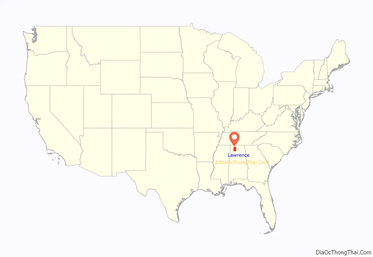
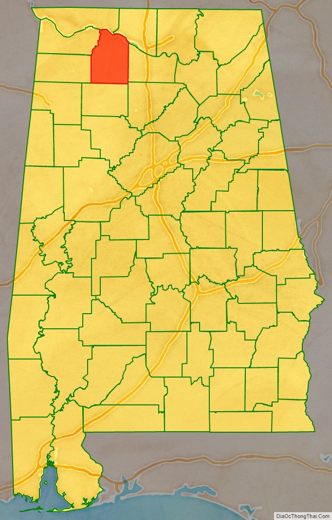
Lawrence County location map. Where is Lawrence County?
History
For thousands of years, this area was inhabited by differing cultures of indigenous peoples. People of the Copena culture in the Middle Woodland period (1–500 CE) built complex earthworks as part of their religious and political system. Their burial mound and ceremonial platform mound, the largest in the state, are preserved at Oakville Indian Mounds Park and Museum. The museum includes exhibits on the Cherokee, an Iroquoian-speaking people who inhabited the area at the time of European encounter. Other historic Native American tribes in this state were Choctaw and Creek, who both spoke Muskogean languages.
Lawrence County was established by the legislature of the Alabama Territory on February 6, 1818. Under the Indian Removal Act of 1830, the U.S. government forced most of the members of these Southeast tribes to go west of the Mississippi River to Indian Territory to the west. They wanted to extinguish their land claims to open the area to settlement by Americans.
Numerous Cherokee and mixed-race European-Cherokee descendants, sometimes called “Black Dutch”, have stayed in the Lawrence County area. According to the census, the county has the highest number of self-identified Native Americans in the state. The state-recognized Echota Cherokee Tribe of Alabama has their Blue Clan in this county with 4,000 enrolled members.
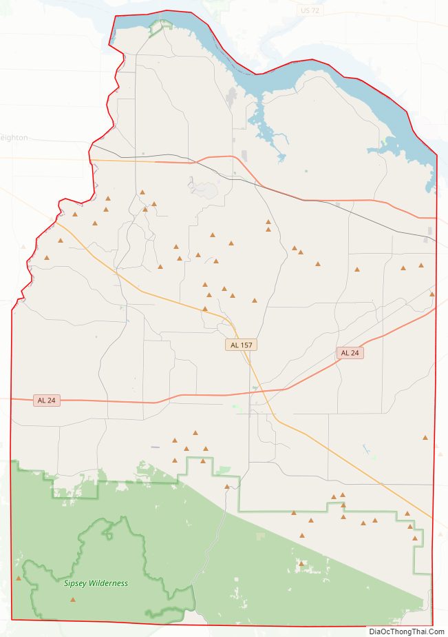
Lawrence County Road Map
Geography
According to the United States Census Bureau, the county has a total area of 717 square miles (1,860 km), of which 691 square miles (1,790 km) is land and 27 square miles (70 km) (3.7%) is water.
River
- Tennessee River
- Sipsey Fork of the Black Warrior River
Adjacent counties
- Limestone County (northeast)
- Morgan County (east)
- Cullman County (southeast)
- Winston County (south)
- Franklin County (west)
- Colbert County (west)
- Lauderdale County (northwest)
National protected area
- William B. Bankhead National Forest (part)
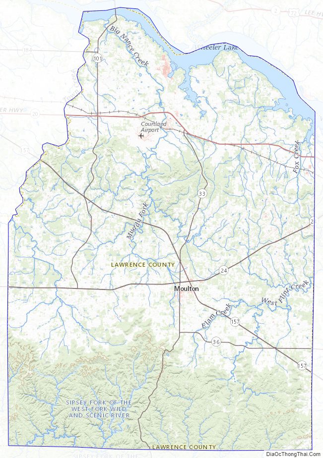
Lawrence County Topographic Map
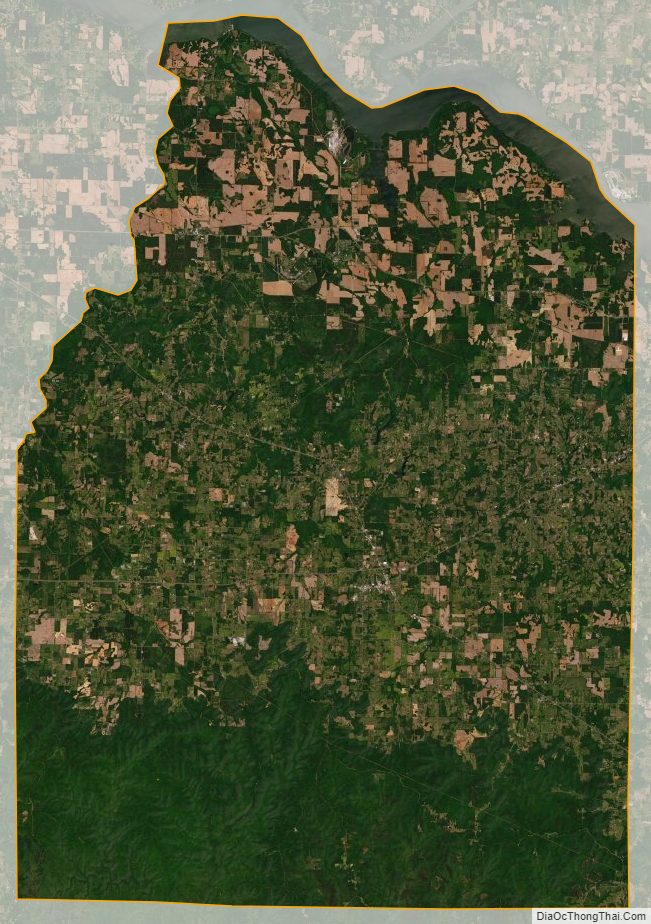
Lawrence County Satellite Map
Lawrence County Outline Map