| Name: | Pima County |
|---|---|
| FIPS code: | 04-019 |
| State: | Arizona |
| Founded: | November 9, 1864 |
| Named for: | Pima people |
| Seat: | Tucson |
| Largest city: | Tucson |
| Total Area: | 9,189 sq mi (23,800 km²) |
| Land Area: | 9,187 sq mi (23,790 km²) |
| Total Population: | 1,043,433 |
| Population Density: | 110/sq mi (44/km²) |
| Time zone: | UTC−7 (Mountain) |
| Website: | www.pima.gov |
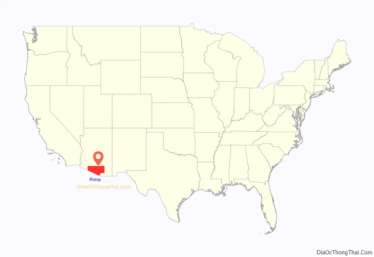
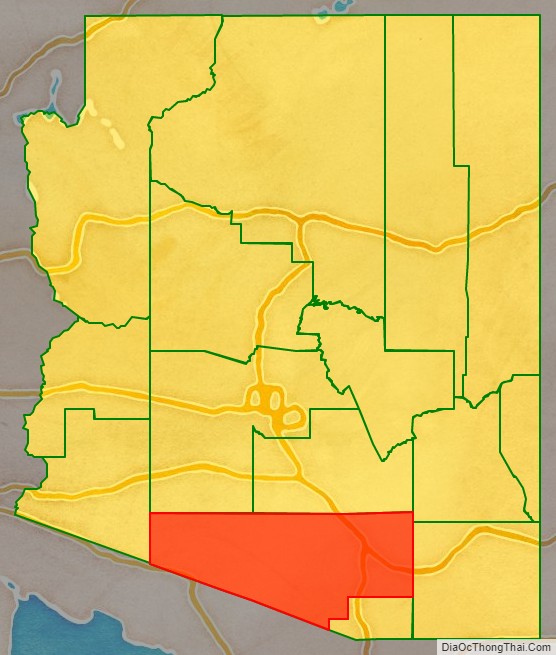
Pima County location map. Where is Pima County?
History
Pima County, one of the four original counties in Arizona, was created by the 1st Arizona Territorial Legislature with land acquired through the Gadsden Purchase from Mexico in 1853. The original county consisted of all of Arizona Territory east of longitude 113° 20′ and south of the Gila River. Soon thereafter, the counties of Cochise, Graham and Santa Cruz were carved from the original Pima County.
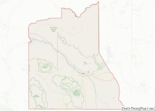
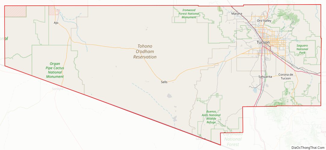
Pima County Road Map
Geography
According to the United States Census Bureau, the county has a total area of 9,189 square miles (23,800 km), of which 9,187 square miles (23,790 km) is land and 2.1 square miles (5.4 km) (0.02%) is water.
Topographic features
- Mountains of Pima County
- Fresnal Canyon
Major highways
- Interstate 10
- Interstate 19
- Historic U.S. Route 80
- State Route 77
- State Route 83
- State Route 85
- State Route 86
- State Route 210
- State Route 989
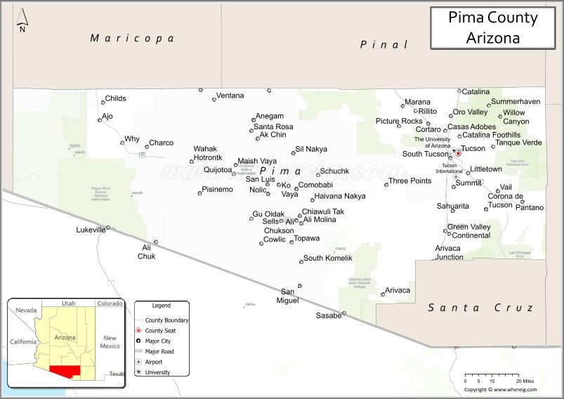
Adjacent counties and municipalities
- Yuma County – west
- Maricopa County – north
- Pinal County – north
- Graham County – northeast
- Cochise County – east
- Santa Cruz County – southeast east and south
- Altar, Sonora, Mexico – south
- Caborca, Sonora, Mexico – south
- General Plutarco Elías Calles, Sonora, Mexico – south
- Sáric, Sonora, Mexico – south
National protected areas
- Buenos Aires National Wildlife Refuge
- Cabeza Prieta National Wildlife Refuge (part)
- Coronado National Forest (part)
- Ironwood Forest National Monument (part)
- Las Cienegas National Conservation Area (part)Old Pima County Courthouse
- Organ Pipe Cactus National Monument
- Saguaro National Park
Sonoran Desert Conservation Plan
The Sonoran Desert Conservation Plan (SDCP) is Pima County’s plan for desert conservation.
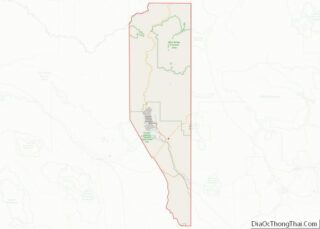
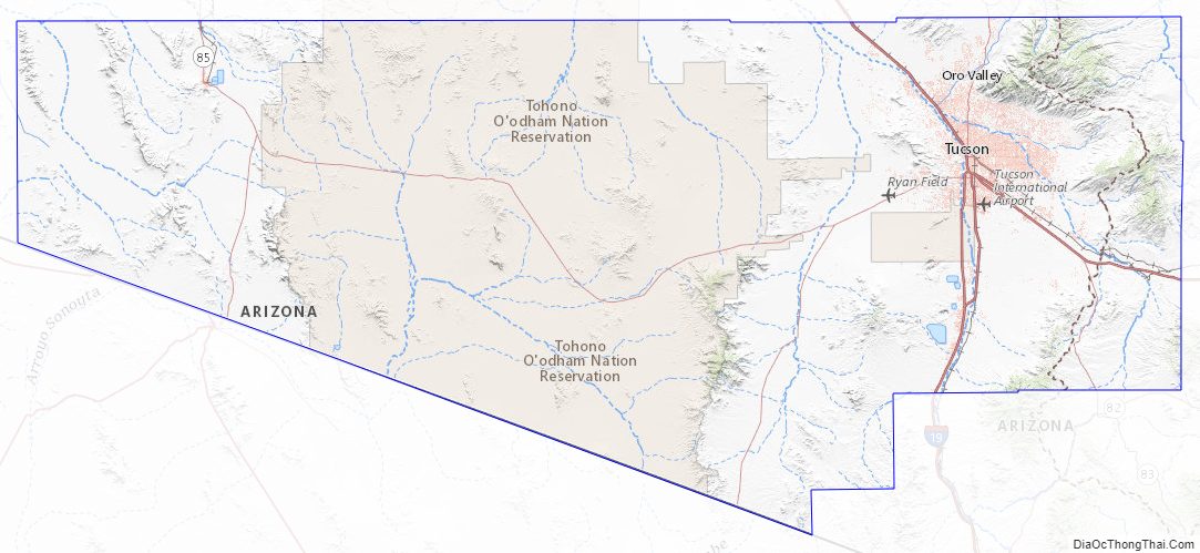
Pima County Topographic Map
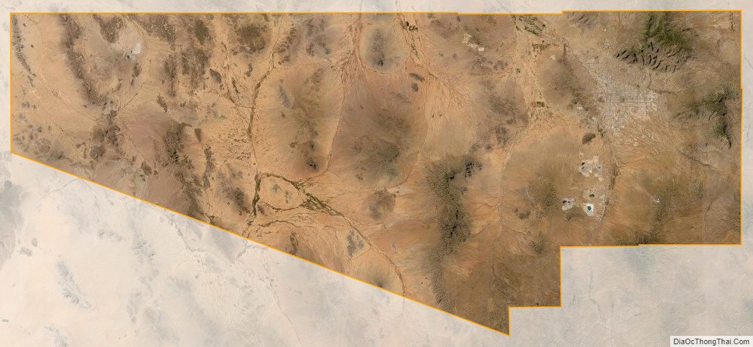
Pima County Satellite Map
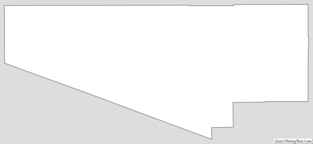
Pima County Outline Map