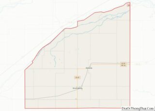
Polk County is a county in the U.S. state of Nebraska. As of the 2020 United States Census, the population was 5,214. Its county seat is Osceola. The county was formed in 1856, and was organized in 1870. It was named for President James K. Polk. In the Nebraska license plate system, Polk County is ... Read more
Map of US Counties
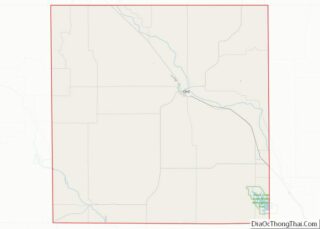
Valley County is a county in the U.S. state of Nebraska. As of the 2010 United States Census, the population was 4,260. Its county seat is Ord. In the Nebraska license plate system, Valley County is represented by the prefix 47 (it had the 47th-largest number of vehicles registered in the county when the license ... Read more
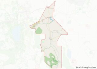
Lyon County overview: Name: Lyon County FIPS code: 32-019 State: Nevada Founded: 1861 Named for: Nathaniel Lyon Seat: Yerington Largest city: Fernley Total Area: 2,024 sq mi (5,240 km²) Land Area: 2,001 sq mi (5,180 km²) Total Population: 59,235 Population Density: 29/sq mi (11/km²) Time zone: UTC−8 (Pacific) Summer Time Zone (DST): UTC−7 (PDT) Website: lyon-county.org Lyon County location map. Where is ... Read more
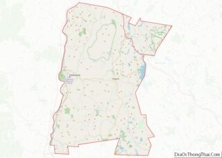
Sullivan County is a county in the U.S. state of New Hampshire. As of the 2020 census, the population was 43,063, making it the second-least populous county in New Hampshire. Its county seat is Newport. Sullivan County is included in the Claremont–Lebanon, NH-VT Micropolitan Statistical Area. Sullivan County overview: Name: Sullivan County FIPS code: 33-019 ... Read more
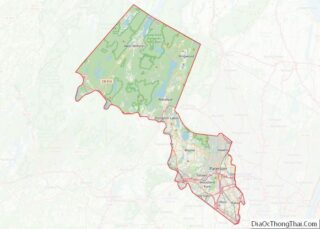
Passaic County overview: Name: Passaic County FIPS code: 34-031 State: New Jersey Founded: February 7, 1837 Named for: “Pasaeck”, a Lenape word meaning “valley” Seat: Paterson Largest city: Paterson (population)West Milford (area) Total Area: 197.10 sq mi (510.5 km²) Land Area: 186 sq mi (480 km²) Total Population: 524,118 Population Density: 2,839.4/sq mi (1,096.3/km²) Website: www.passaiccountynj.org Passaic County location map. Where is ... Read more
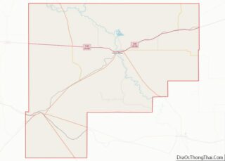
Guadalupe County overview: Name: Guadalupe County FIPS code: 35-019 State: New Mexico Founded: February 26, 1891 Named for: Our Lady of Guadalupe Seat: Santa Rosa Largest city: Santa Rosa Total Area: 3,032 sq mi (7,850 km²) Land Area: 3,030 sq mi (7,800 km²) Total Population: 4,449 Population Density: 1.5/sq mi (0.6/km²) Time zone: UTC−7 (Mountain) Summer Time Zone (DST): UTC−6 (MDT) Guadalupe ... Read more
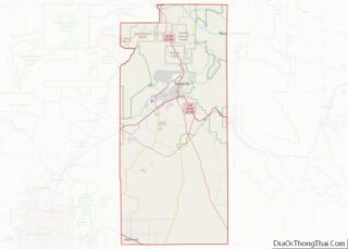
Santa Fe County (Spanish: Condado de Santa Fe; meaning Holy faith in Spanish) is located in the U.S. state of New Mexico. As of the 2010 census, the population was 144,170, making it New Mexico’s third-most populous county, after Bernalillo County and Doña Ana County. Its county seat is Santa Fe, the state capital. Santa ... Read more
Clinton County is a county in the north-easternmost corner of the state of New York, in the United States and bordered by the Canadian province of Quebec. As of the 2020 United States Census, the population was 79,843. Its county seat is the city of Plattsburgh. The county lies just south of the border with ... Read more
Lewis County is a county located in the U.S. state of New York. As of the 2020 census, the population was 26,582, making it the fourth-least populous county in New York. Its county seat is Lowville. The county is named after Morgan Lewis, the Governor of New York when the county was established. Lewis County ... Read more
Queens is a borough of New York City, coextensive with Queens County, in the U.S. state of New York. Located on Long Island, it is the largest New York City borough by area. It is bordered by the borough of Brooklyn at the western tip of Long Island, and Nassau County to its east. Queens ... Read more
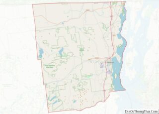
Warren County is a county in the U.S. state of New York. As of the 2020 census, the population was 65,737. The county seat is Queensbury. The county was established in 1813 and is named in honor of General Joseph Warren, an American Revolutionary War hero of the Battle of Bunker Hill. Warren County is ... Read more
Buncombe County is a county located in the U.S. state of North Carolina. It is classified within Western North Carolina. The 2020 census reported the population was 269,452. Its county seat is Asheville. Buncombe County is part of the Asheville, NC Metropolitan Statistical Area. Buncombe County overview: Name: Buncombe County FIPS code: 37-021 State: North ... Read more
