| Name: | Essex County |
|---|---|
| FIPS code: | 34-013 |
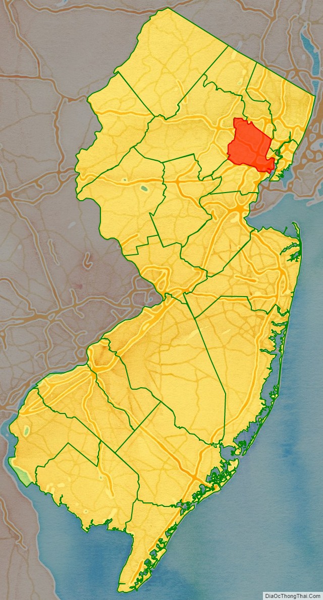
| State: | New Jersey |
| Founded: | March 7, 1683 |
| Named for: | Essex, England |
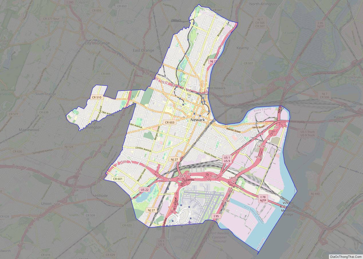
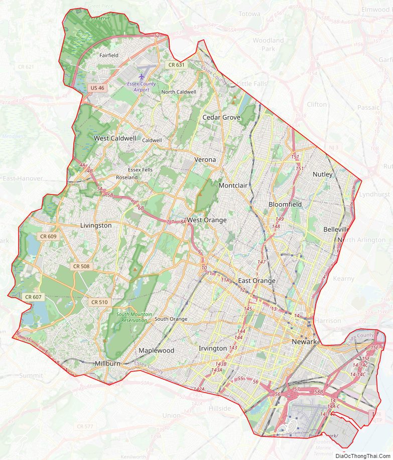
| Seat: | Newark |
| Largest city: | Newark (population and area) |
| Total Area: | 129.631 sq mi (335.74 km²) |
| Land Area: | 126.212 sq mi (326.89 km²) |
| Total Population: | 863,728 |
| Population Density: | 6,843.5/sq mi (2,642.3/km²) |
| Website: | www.essex-countynj.org |
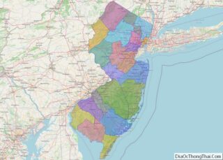
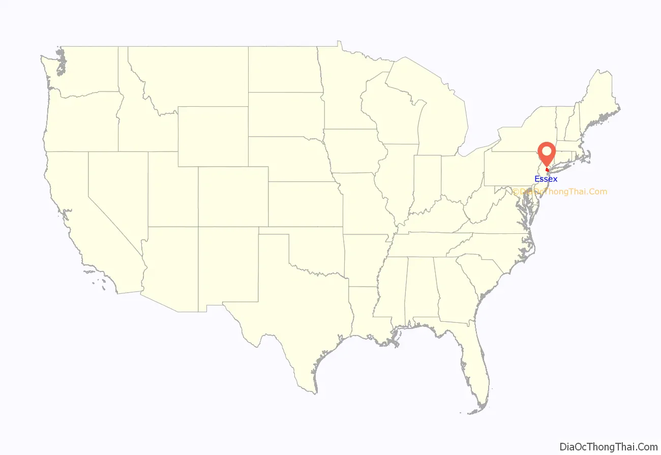
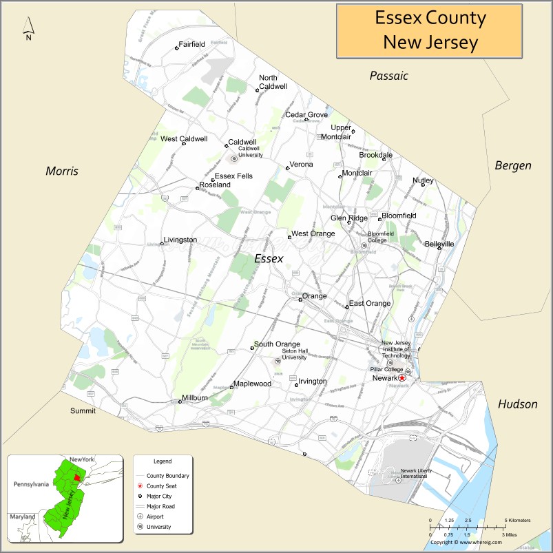
Essex County location map. Where is Essex County?
History
Etymolgy
The county is named after Essex, a county in the East of England.
History
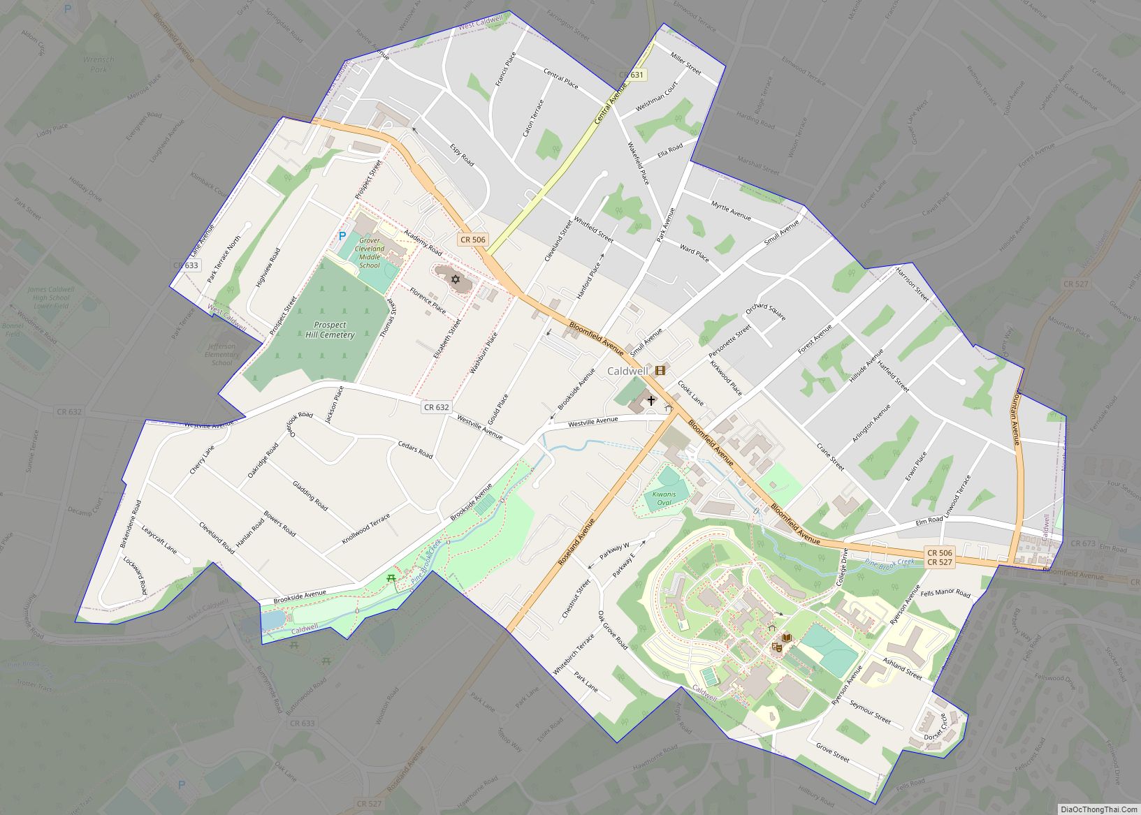
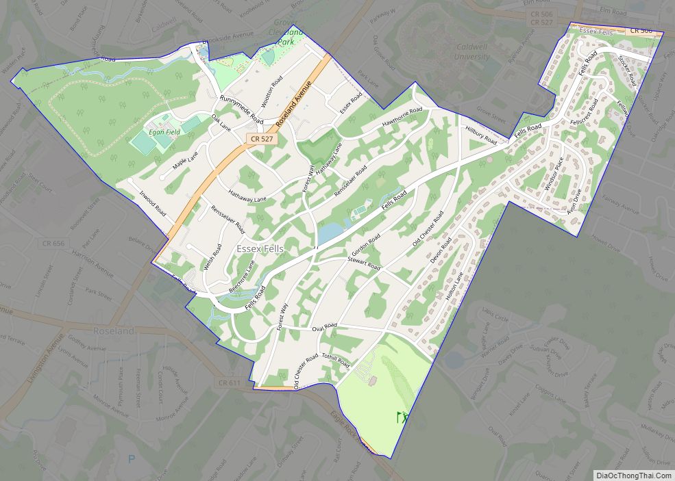
Based on data from the 2010 census, Essex County is the 14th-most densely populated county in the United States, and was ranked second in the state after Hudson County (which ranked sixth in the nation at 13,731.4 per square mile).Newark, with a population density of 11,458.3 people per square mile, is the largest municipality in the county both in terms of land area (24.19 square miles) and population (277,140), while Caldwell is the smallest in terms of land area (1.17 square miles) and Essex Fells has the smallest population (2,113). Many of the county’s smallest municipalities have population densities that are comparable to those of many big cities, and are well above the state’s average which in turn is the highest in the nation.
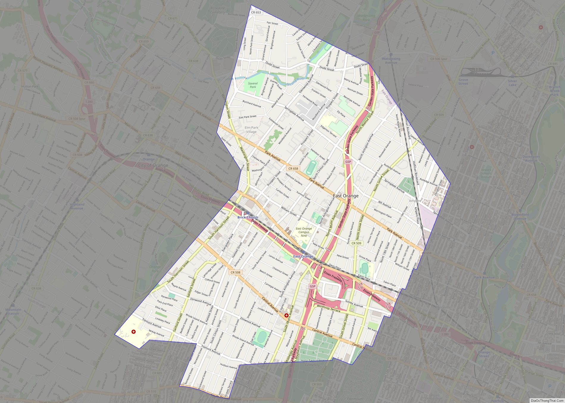
Like many of the counties of Northern New Jersey near New York City—which tend to have sharp divides between relatively rich suburban neighborhoods and less wealthy, more densely populated cities nearby—the eastern region of Essex County tends to be poorer and more urbanized, while the western parts tend to be more affluent and suburban. The wide area of Eastern Essex has significant pockets of high population, high building density, high poverty, and high crime rates. Within this general area, however, are numerous areas comprised of safe, mixed and middle-income neighborhoods of diverse populations. For example, north and west sides of Newark have well-kept suburban areas such as Vailsburg and Forest Hill. The east side of Newark is the Ironbound, a working-class Brazilian and Portuguese community. East Orange is home to the Presidential Estate neighborhood, a well-kept area of large, pre-war, single-family homes. Belleville and Bloomfield are suburbs with historic Italian communities that, in spite of retaining a core Italian-American population, now have many immigrants from Latin America and Asia. As of the 2000 Census, 36% of Nutley residents indicated that they were of Italian ancestry, the 12th-highest of any municipality in the nation and third-highest in New Jersey.
Beginning at about the turn of the century, this region led the state in the rebuilding and rehab of its housing stock. In the 2000s, Newark led the state in the issuance of building permits. Many reasons were cited: citywide incentives to encourage construction development, an improving local economy, the rising demand of low-cost housing so close to Manhattan. Newark has since then become one of the fastest-growing cities in the entire Northeast, and reported a gain in median income and drop in poverty rate. This is a turnaround from the deterioration and abandonment experienced in the post-riot 1970s, 1980s and early part of the 1990s.
Crime in this part of the county has traditionally been among the highest in the state and the country as well, but recently has also seen significant declines, mirroring its large neighbor to the east, New York City. By 2006, crime in Newark had fallen 60% over the previous decade to its lowest levels in 40 years. Neighboring East Orange has also experienced a decline in crimes, dropping 50% in the three years (2005 to 2007). While crime rates have fallen significantly in these cities in recent years, they nonetheless remain high here compared to national crime statistics, as well as Irvington, and Orange. In 2008, Newark had 67 homicides, down from 105 in 2007 and the record of 161 murders set in 1981.
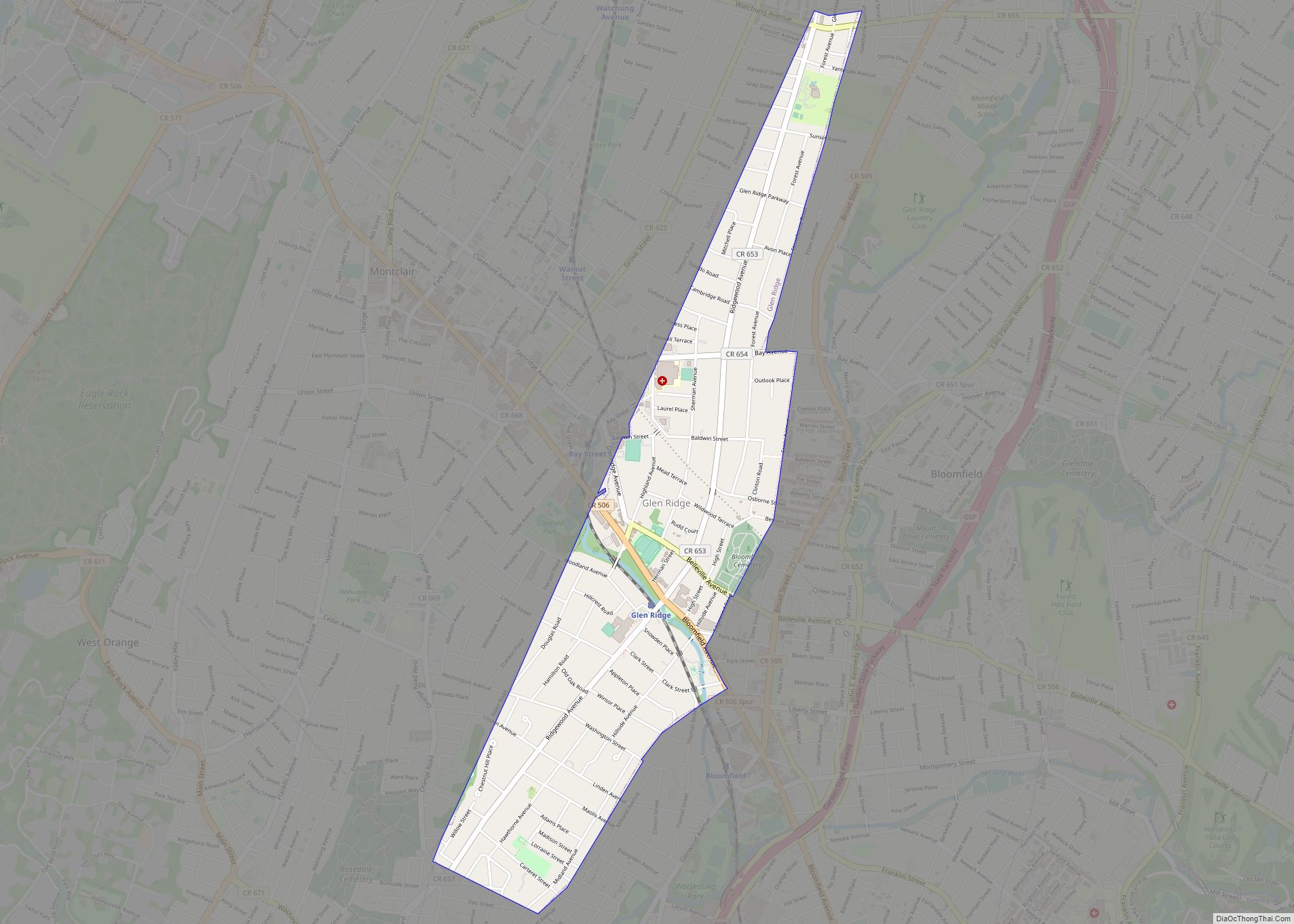
In contrast, Western Essex tends to be more suburban and affluent. Within this region are some of the most diverse and racially integrated municipalities in the state and nation, including Montclair, West Orange, South Orange and Maplewood. Many of these municipalities are well-known magnets for people moving from New York City, such as Glen Ridge, Montclair, Verona, Cedar Grove, South Orange and West Orange. The communities of Livingston, West Caldwell, South Orange, Maplewood, Millburn, North Caldwell, and Essex Fells are some of the wealthiest towns in the county. Short Hills (in Millburn), South Orange, West Orange, and Livingston have large Jewish communities. Short Hills has a popular upscale shopping mall, The Mall at Short Hills located near affluent communities in Morris and Union counties.
As the poorest place in the county, Newark has a median household income of $33,025 and a per capita income of $17,198; at the other extreme, Essex Fells, one of the wealthier places in the county and the 4th wealthiest municipality in the state, has a median household income of $174,432 and a per capita income of $89,316.
Essex County was the first county in the country to create a county park system (Essex County Park System), to ensure that it did not lose all its land to development. Some of the county’s municipalities, especially Newark, The Oranges, and The Caldwells were seen on episodes of the HBO mob drama The Sopranos, which was set in North Caldwell.
Essex was originally formed as one of four administrative districts within Province of East Jersey in 1675, together with Bergen, Middlesex and Monmouth districts. Essex County was formed within East Jersey on March 7, 1683. The county was named after the English county of Essex. When the provinces of East Jersey and West Jersey were combined in 1702, the county boundaries were retained. Portions of Essex were taken in 1741 and transferred to Somerset County. In 1837, Passaic County was formed from portions of Essex and Bergen counties. In 1857, Union County was created from parts of Essex County.
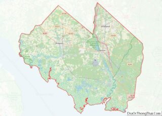
Essex County Road Map
Geography
According to the U.S. Census Bureau, the county had an area of 129.631 square miles (335.74 km), including 126.212 square miles (326.89 km) of land (97.4%) and 3.419 square miles (8.86 km) of water (2.6%).
The county rises from generally flat in the east to the twin ridges of the Watchung Mountains in the western half, beyond which the land lowers again into the Passaic River valley.
The highest elevation is found at four areas scattered between Verona, North Caldwell and Cedar Grove, reaching 660 feet (200 m) above sea level. The lowest point is sea level, at Newark Bay.
Climate
All of Essex County has a humid subtropical climate (Cfa) if the -3 °C isotherm is used. If the 0 °C isotherm is used, Cfa only exists in eastern Newark and the rest of the county has a hot-summer humid continental climate (Dfa). However temperatures do vary in various locations. In Newark, Eastern Essex County, and Southern/Southeastern Essex County, temperatures are relatively cool to hot, even in the winter months. Western Essex County has similar temperatures to Eastern Essex, but the elevation increase within the Watchung Mountains allows for some minor differences. An example would be that in January on Interstate 280 it could be raining in East Orange. Heading west on 280 there is a large hill that elevates from 150 feet (46 m) to 650 feet (200 m), a 500 feet (150 m) difference. At the top of the hill it could be snowing because of the 3 to 4 degree temperature differences.
In recent years, average temperatures in the county seat of Newark have ranged from a low of 24 °F (−4 °C) in January to a high of 86 °F (30 °C) in July, although a record low of −14 °F (−26 °C) was recorded in February 1934 and a record high of 105 °F (41 °C) was recorded in July 1993. Average monthly precipitation ranged from 2.99 inches (76 mm) in February to 4.76 inches (121 mm) in July. In Roseland, average monthly temperatures range from 29.2 °F in January to 74.6 °F in July. [3]
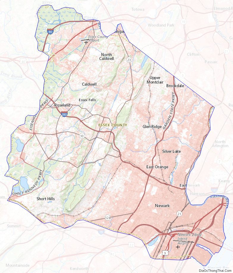
Essex County Topographic Map
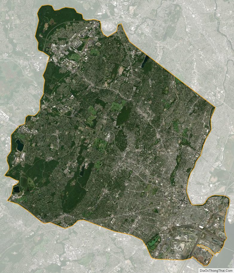
Essex County Satellite Map
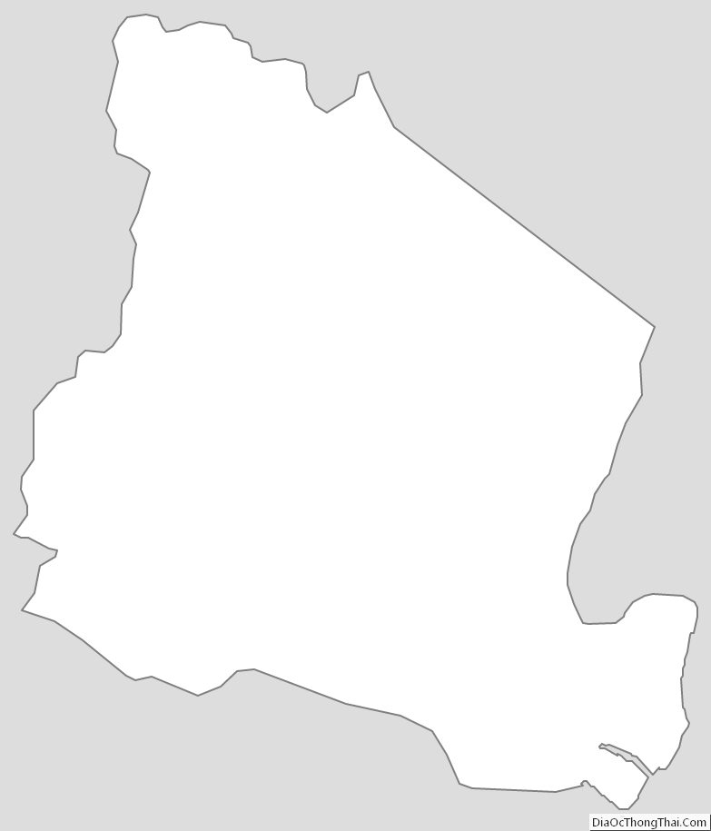
Essex County Outline Map