Scotts Bluff County is a county on the western border of the U.S. state of Nebraska. As of the 2020 United States Census, the population was 36,084. Its county seat is Gering, and its largest city is Scottsbluff.
Scotts Bluff County is included in the Scottsbluff, NE Micropolitan Statistical Area.
In the Nebraska license plate system, Scotts Bluff County is represented by the prefix 21, since the county had the twenty-first-largest number of registered vehicles registered when the state’s license-plate system was established in 1922.
| Name: | Scotts Bluff County |
|---|---|
| FIPS code: | 31-157 |
| State: | Nebraska |
| Founded: | 1888 |
| Named for: | Scotts Bluff |
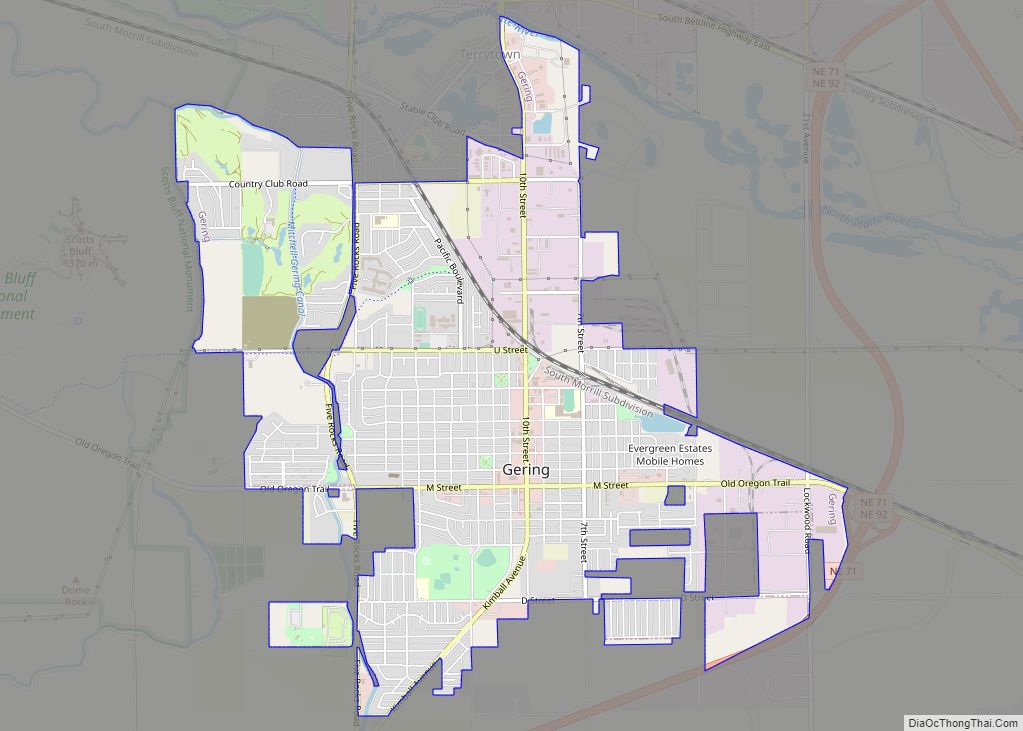
| Seat: | Gering |
| Largest city: | Scottsbluff |
| Total Area: | 745 sq mi (1,930 km²) |
| Land Area: | 739 sq mi (1,910 km²) |
| Total Population: | 35,745 |
| Population Density: | 49.2/sq mi (19.0/km²) |
| Time zone: | UTC−7 (Mountain) |
| Summer Time Zone (DST): | UTC−6 (MDT) |
| Website: | www.scottsbluffcounty.org |
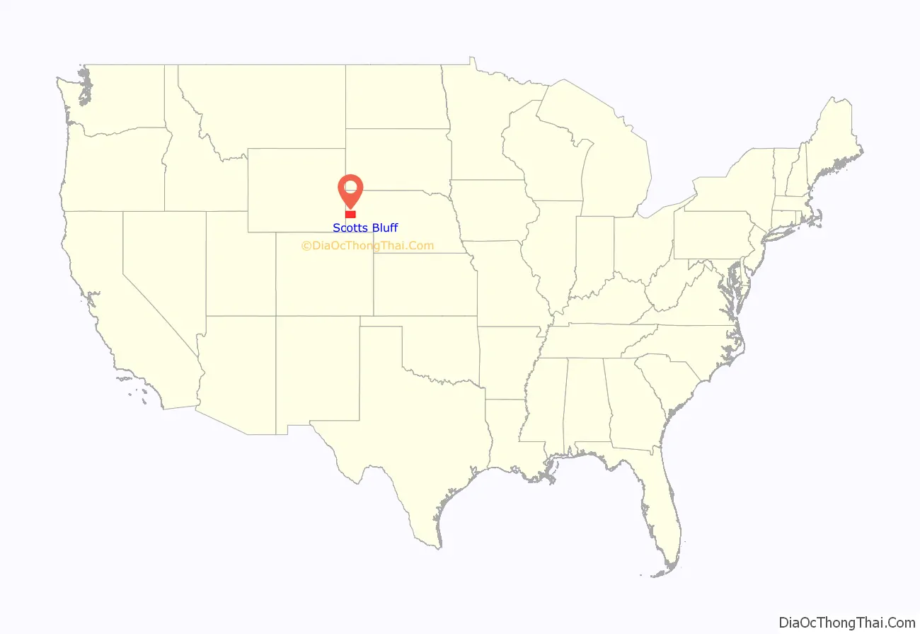
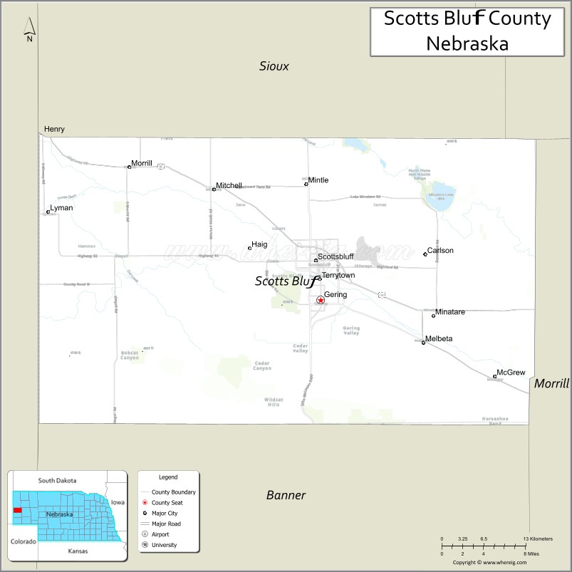
Scotts Bluff County location map. Where is Scotts Bluff County?
History
The county is named for a prominent bluff that served as a landmark for 19th-century pioneers traveling along the Oregon Trail. Scotts Bluff was named for Hiram Scott, a Rocky Mountain Fur Company trapper who died nearby around 1828. Washington Irving claimed that, after being injured and abandoned, Scott had crawled sixty miles only to perish near the bluff that now bears his name. The bluff is now managed by the National Park Service as Scotts Bluff National Monument.
The town of Gering was founded at the base of the bluff in 1887, and the city of Scottsbluff was founded across the North Platte River in 1900. Joined by the river, the former transportation highway, the two cities now form Nebraska’s 7th-largest urban area.
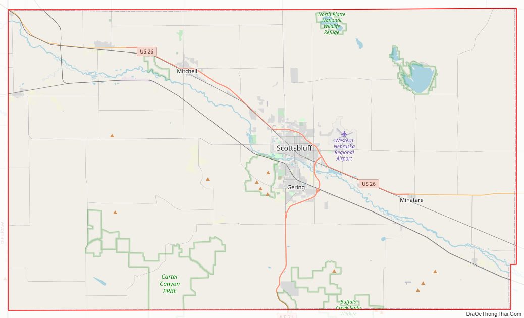
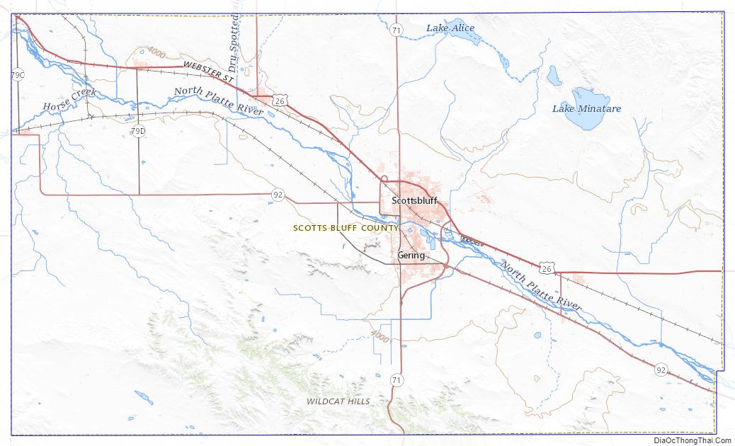
Scotts Bluff County Road Map
Geography
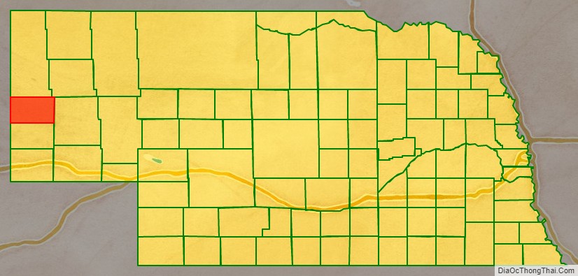
Scotts Bluff County is on the west side of Nebraska. Its west boundary line abuts the east boundary line of the state of Wyoming. The North Platte River flows east-southeastward through the upper central part of the county. The county’s terrain consists of arid rolling hills, about half of which is dedicated to agriculture. The county’s lands slope to the east-southeast.
The county has an area of 745 square miles (1,930 km), of which 739 square miles (1,910 km) is land and 6.0 square miles (16 km) (0.8%) is water.
Major highways
- U.S. Highway 26
- Nebraska Highway 29
- Nebraska Highway 71
- Nebraska Highway 92
Adjacent counties
- Sioux County – north
- Box Butte County – northeast
- Morrill County – east
- Banner County – south
- Goshen County, Wyoming – west
Protected areas
- Kiowa State Wildlife Management Area
- Lake Minatare State Recreation Area
- North Platte National Wildlife Refuge
- Scotts Bluff National Monument
- Wildcat Hills State Recreation Area
Scotts Bluff County Topographic Map
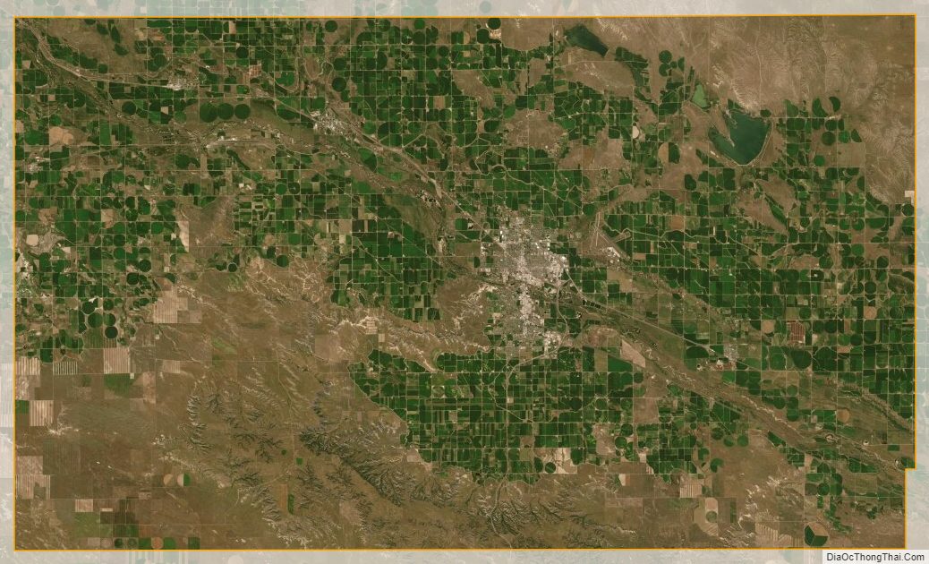
Scotts Bluff County Satellite Map
Scotts Bluff County Outline Map