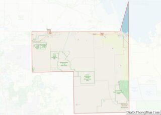
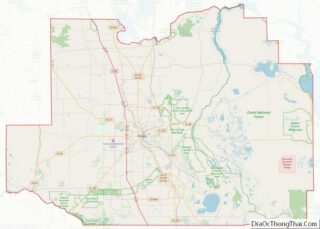
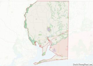
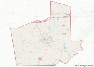
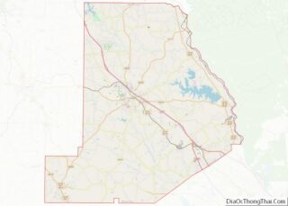
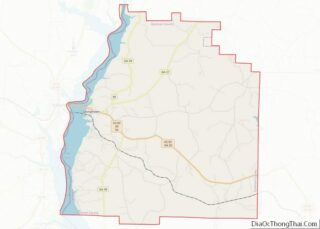
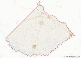
Map of Taos County, New Mexico
Taos County is a county in the U.S. state of New Mexico. As of the 2020 census, the population was 34,489. Its county seat is Taos. The county was formed in 1852 as one of the original nine counties in New Mexico Territory. Taos County comprises the Taos, New Mexico Micropolitan Statistical Area. Taos County ... Read more
Map of Taos County, New Mexico
Map of Delaware County, New York
Delaware County is a county located in the US state of New York. As of the 2020 United States census, the population was 44,308. The county seat is Delhi. The county is named after the Delaware River, which was named in honor of Thomas West, 3rd Baron De La Warr, appointed governor of Virginia in ... Read more
Map of Delaware County, New York
Map of Monroe County, New York
Monroe County is a county in the Finger Lakes region of the State of New York. The county is along Lake Ontario’s southern shore. At the 2020 census, Monroe County’s population was 759,443, an increase since the 2010 census. Its county seat and largest city is the city of Rochester. The county is named after ... Read more
Map of Monroe County, New York
Map of Rockland County, New York
Rockland County overview: Name: Rockland County FIPS code: 36-087 State: New York Founded: 1798 Named for: Its rocky terrain Seat: New City Total Area: 199.34 sq mi (516.3 km²) Land Area: 173.55 sq mi (449.5 km²) Total Population: 338,329 Time zone: UTC−5 (Eastern) Summer Time Zone (DST): UTC−4 (EDT) Website: www.rocklandgov.com Rockland County location map. Where is Rockland County? History The ... Read more
Map of Rockland County, New York
Map of Westchester County, New York
Westchester County is located in the U.S. state of New York. It is the seventh most populous county in the State of New York and the most populous north of New York City. According to the 2020 United States Census, the county had a population of 1,004,456, its highest decennial count ever and an increase ... Read more
Map of Westchester County, New York
Map of Caldwell County, North Carolina
Caldwell County is a county in the U.S. state of North Carolina. It is located in the foothills of the Blue Ridge Mountains. As of the 2020 census, the population was 80,652. Its county seat is Lenoir. Caldwell County is part of the Hickory–Lenoir–Morganton, NC Metropolitan Statistical Area. Caldwell County overview: Name: Caldwell County FIPS ... Read more
Map of Caldwell County, North Carolina
Map of Davie County, North Carolina
Davie County is a county located in the U.S. state of North Carolina. As of the 2020 census, the population was 42,712. Its county seat is Mocksville. Davie County is included in the Winston-Salem, NC Metropolitan Statistical Area, which is also included in the Greensboro-Winston-Salem-High Point, NC Combined Statistical Area. Davie County overview: Name: Davie ... Read more
Map of Davie County, North Carolina
Map of Hertford County, North Carolina
Hertford County is a county located in the U.S. state of North Carolina. As of the 2020 census, the population was 21,552. Its county seat is Winton. It is classified within the region known in the 21st century as the Inner Banks. Hertford County overview: Name: Hertford County FIPS code: 37-091 State: North Carolina Founded: ... Read more
Map of Hertford County, North Carolina
Map of Montgomery County, North Carolina
Montgomery County is a rural county located in the southern Piedmont of the U.S. state of North Carolina. As of the 2020 census, the population was 25,751. Its county seat is Troy. Montgomery County overview: Name: Montgomery County FIPS code: 37-123 State: North Carolina Founded: 1779 Named for: Richard Montgomery Seat: Troy Largest town: Troy ... Read more
Map of Montgomery County, North Carolina
Map of Robeson County, North Carolina
Robeson County is a county in the southern part of the U.S. state of North Carolina and is its largest county by land area. Its county seat is and largest city is Lumberton. The county was formed in 1787 from part of Bladen County and named in honor of Thomas Robeson, a colonel who had ... Read more
Map of Robeson County, North Carolina
Map of Washington County, North Carolina
Washington County is a county located in the U.S. state of North Carolina. As of the 2020 census, the population was 11,003. Its county seat is Plymouth. The county was formed in 1799 from the western third of Tyrrell County. It was named for George Washington. Washington County overview: Name: Washington County FIPS code: 37-187 ... Read more
Map of Washington County, North Carolina
Map of Cavalier County, North Dakota
Cavalier County is a county in the U.S. state of North Dakota. It is south of the Canada–US border with Manitoba. As of the 2020 census, the population was 3,704. Its county seat is Langdon. The city of Cavalier is in nearby Pembina County. Cavalier County overview: Name: Cavalier County FIPS code: 38-019 State: North ... Read more
Map of Cavalier County, North Dakota