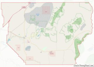
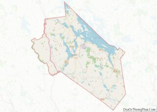
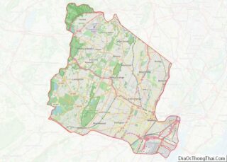
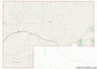
Map of Douglas County

Map of Douglas County, Nebraska

Douglas County is a county located in the U.S. state of Nebraska. As of the 2020 United States Census, the population is 584,526. It is the state’s most populous county, home to well over one-fourth of Nebraska’s residents. Its county seat is Omaha, the state’s largest city. The county was established in 1854 and named … Read more

Map of Hitchcock County

Map of Hitchcock County, Nebraska

Hitchcock County is a county in the U.S. state of Nebraska. As of the 2020 United States Census, the population was 2,616. Its county seat is Trenton. In the Nebraska license plate system, Hitchcock County is represented by the prefix 67 (it had the sixty-seventh-largest number of vehicles registered in the county when the license … Read more

Map of McPherson County

Map of McPherson County, Nebraska

McPherson County is a county in the U.S. state of Nebraska. As of the 2020 United States Census, the population was 399, making it the least populous county in the state of Nebraska and the fifth-least populous county in the United States. Its county seat is Tryon. The county was formed in 1890 from Logan … Read more

Map of Saline County

Map of Saline County, Nebraska

Saline County is a county in the U.S. state of Nebraska. As of the 2010 United States Census, the population was 14,200. Its county seat is Wilber. In the Nebraska license plate system, Saline County is represented by the prefix 22 (it had the twenty-second-largest number of vehicles registered in the state when the license … Read more

Map of Wheeler County

Map of Wheeler County, Nebraska

Wheeler County is a county in the U.S. state of Nebraska. As of the 2010 United States Census, the population was 818. Its county seat is Bartlett. The county was formed in 1877 and organized in 1881. The county was named for Major Daniel H. Wheeler, longtime secretary of the Nebraska State Board of Agriculture. … Read more

Map of Storey County

Map of Storey County, Nevada

Storey County is a county located in the U.S. state of Nevada. As of the 2020 census, the population was 4,104, making it the third-least populous county, but one of the fastest-growing economies in Nevada. In 2018, over 18,000 people were employed in the county. Its area is 264 square miles (680 square kilometers), making … Read more

Map of Camden County

Map of Camden County, New Jersey

Camden County overview: Name: Camden County FIPS code: 34-007 State: New Jersey Founded: March 13, 1844 Named for: Charles Pratt, 1st Earl Camden Seat: Camden Total Area: 227.293 sq mi (588.69 km²) Land Area: 221.263 sq mi (573.07 km²) Total Population: 523,485 Population Density: 2,364.9/sq mi (913.1/km²) Website: www.camdencounty.com Camden County location map. Where is Camden County? Camden County Road Map Geography … Read more

Map of Union County

Map of Union County, New Jersey

Union County overview: Name: Union County FIPS code: 34-039 State: New Jersey Founded: 1857 Named for: Union threatened by slavery dispute Seat: Elizabeth Largest city: Elizabeth (population and area) Total Area: 105.40 sq mi (273.0 km²) Land Area: 102.86 sq mi (266.4 km²) Total Population: 575,345 Population Density: 5,593.5/sq mi (2,159.7/km²) Website: www.ucnj.org Union County location map. Where is Union County? History … Read more

Map of Lincoln County

Map of Lincoln County, New Mexico

Lincoln County is a county in the U.S. state of New Mexico. As of the 2010 census, the population was 20,497. Its county seat is Carrizozo, while its largest community is Ruidoso. Lincoln County overview: Name: Lincoln County FIPS code: 35-027 State: New Mexico Founded: 1869 Named for: Abraham Lincoln Seat: Carrizozo Total Area: 4,831 sq mi … Read more

Map of Torrance County

Map of Torrance County, New Mexico

Torrance County is a county located in the center of the U.S. state of New Mexico. As of the 2010 census, the population was 16,383. The county seat is Estancia. The geographic center of New Mexico is located in Torrance County, southwest of the Village of Willard, and in 2010, the center of population of … Read more

Map of Dutchess County

Map of Dutchess County, New York

Dutchess County is a county in the U.S. state of New York. As of the 2020 census, the population was 295,911. The county seat is the city of Poughkeepsie. The county was created in 1683, one of New York’s first twelve counties, and later organized in 1713. It is located in the Mid-Hudson Region of … Read more

Map of Montgomery County

Map of Montgomery County, New York

Montgomery County is a county in the U.S. state of New York. As of the 2020 census, the population was 49,532. The county seat is Fonda. The county was named in honor of Richard Montgomery, an American Revolutionary War general killed in 1775 at the Battle of Quebec. Historically occupied by the Mohawk people, one … Read more