Franklin County is a county in the U.S. state of Nebraska. As of the 2020 census, the population was 2,889. Its county seat is Franklin. The county was formed in 1867 and organized in 1871. It was named for Benjamin Franklin.
In the Nebraska license plate system, Franklin County is represented by the prefix 50 (it had the 50th-largest number of vehicles registered in the county when the license plate system was established in 1922).
| Name: | Franklin County |
|---|---|
| FIPS code: | 31-061 |
| State: | Nebraska |
| Founded: | 1867 |
| Named for: | Benjamin Franklin |
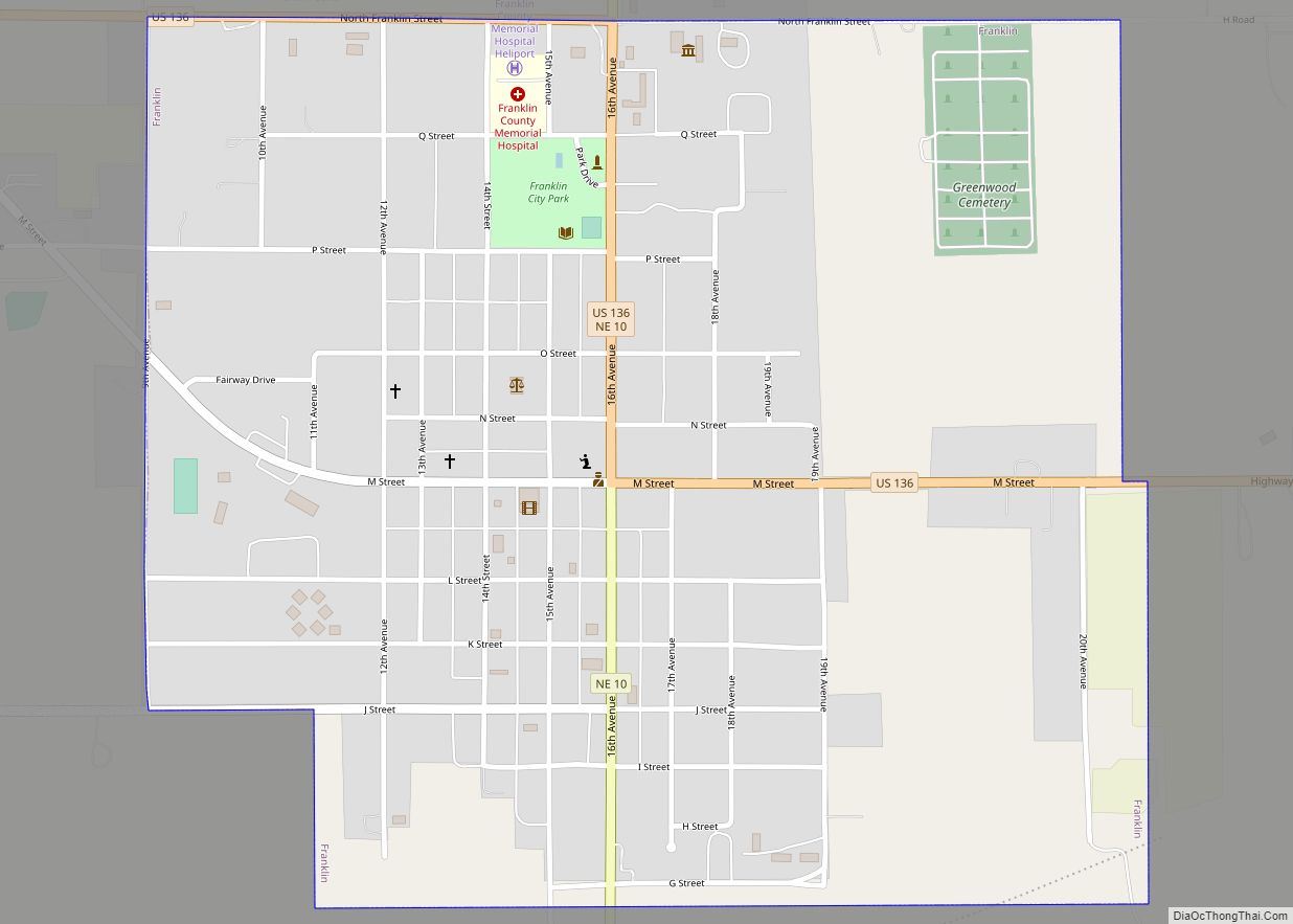
| Seat: | Franklin |
| Largest city: | Franklin |
| Total Area: | 576 sq mi (1,490 km²) |
| Land Area: | 576 sq mi (1,490 km²) |
| Total Population: | 2,903 |
| Population Density: | 5.2/sq mi (2.0/km²) |
| Time zone: | UTC−6 (Central) |
| Summer Time Zone (DST): | UTC−5 (CDT) |
| Website: | www.co.franklin.ne.us |
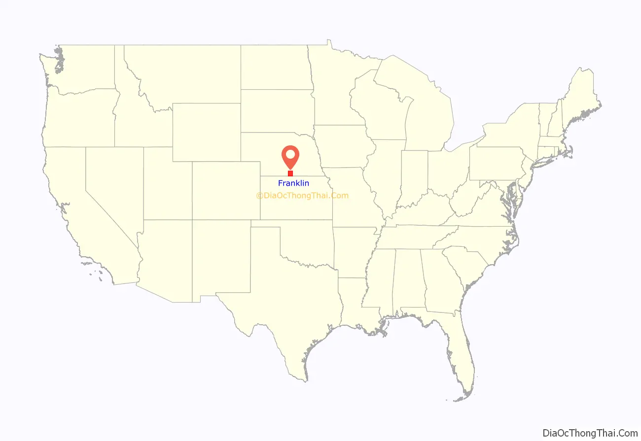
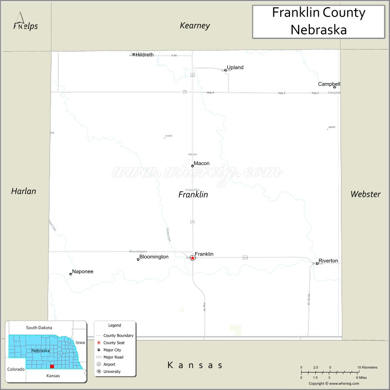
Franklin County location map. Where is Franklin County?
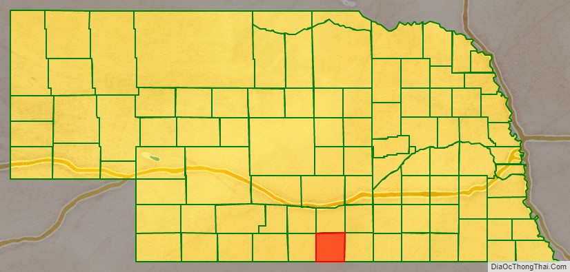
Franklin County Road Map
Geography
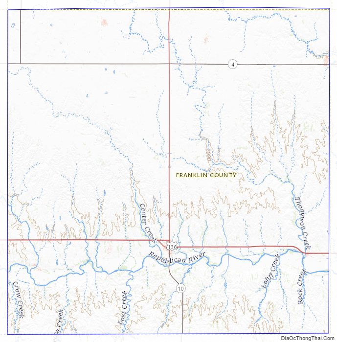
Franklin County lies on the south line of Nebraska. Its south boundary line abuts the north boundary line of the state of Kansas. The Republican River flows eastward through the southern part of Franklin County.
According to the US Census Bureau, the county has a total area of 576 square miles (1,490 km), of which 576 square miles (1,490 km) is land and 0.2 square miles (0.52 km) (0.03%) is water.
Major highways
- U.S. Highway 136
- Nebraska Highway 4
- Nebraska Highway 10
- Nebraska Highway 44
Adjacent counties
- Kearney County – north
- Webster County – east
- Smith County, Kansas – southeast
- Phillips County, Kansas – southwest
- Harlan County – west
- Phelps County – northwest
Franklin County Topographic Map
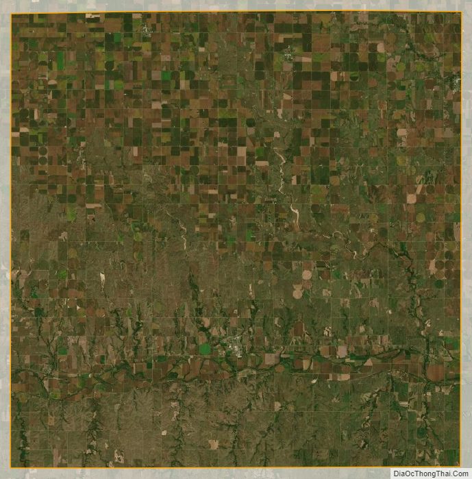
Franklin County Satellite Map
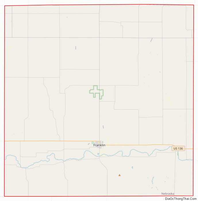
Franklin County Outline Map