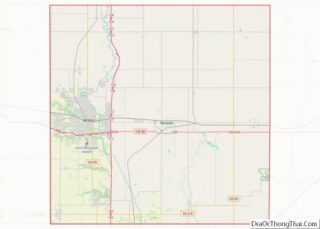
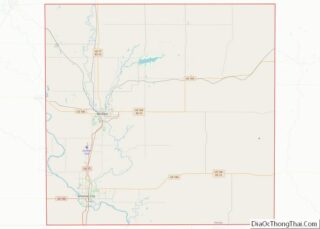
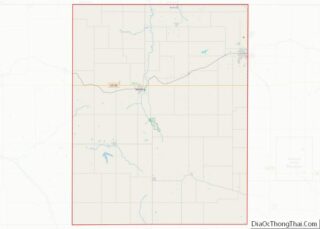
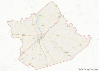
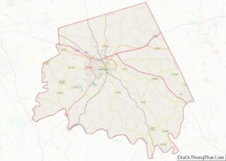
Map of Union County, Illinois
Union County is a county located in the U.S. state of Illinois. According to the 2020 United States Census, it had a population of 17,244. Its county seat is Jonesboro. It is located in the southern portion of Illinois known locally as “Little Egypt”. Union County overview: Name: Union County FIPS code: 17-181 State: Illinois ... Read more
Map of Union County, Illinois
Map of Blackford County, Indiana
Blackford County is located in the east central portion of the U.S. state of Indiana. The county is named for Judge Isaac Blackford, who was the first speaker of the Indiana General Assembly and a long-time chief justice of the Indiana Supreme Court. Created in 1838, Blackford County is divided into four townships, and its ... Read more
Map of Blackford County, Indiana
Map of Fayette County, Indiana
Fayette County overview: Name: Fayette County FIPS code: 18-041 State: Indiana Founded: 1819 Named for: Marquis de la Fayette Seat: Connersville Largest city: Connersville Total Area: 215.16 sq mi (557.3 km²) Land Area: 215.01 sq mi (556.9 km²) Total Population: 23,398 Population Density: 113/sq mi (43.61/km²) Fayette County location map. Where is Fayette County? History The county and its seat Connersville rose ... Read more
Map of Fayette County, Indiana
Map of Jasper County, Indiana
Jasper County is a county located in the U.S. state of Indiana. As of 2010, the population was 33,478. The county seat is Rensselaer. Jasper County is included in the Chicago-Naperville–Elgin, IL-IN-WI Metropolitan Statistical Area. Jasper County overview: Name: Jasper County FIPS code: 18-073 State: Indiana Named for: Sgt. William Jasper Largest city: Rensselaer Land ... Read more
Map of Jasper County, Indiana
Map of Miami County, Indiana
Miami County is a county located in the U.S. state of Indiana. As of 2020, the population was 35,962. The county seat is the City of Peru. Miami County is part of the Kokomo-Peru CSA. Miami County overview: Name: Miami County FIPS code: 18-103 State: Indiana Founded: January 30, 1833 Named for: Miami tribe Seat: ... Read more
Map of Miami County, Indiana
Map of Randolph County, Indiana
Randolph County is a county located in the central section of U.S. state of Indiana, on its eastern border with Ohio. As of 2010, the population was 26,171. The county seat is Winchester. Randolph County overview: Name: Randolph County FIPS code: 18-135 State: Indiana Founded: 1818 Named for: Peyton Randolph Seat: Winchester Largest city: Winchester ... Read more
Map of Randolph County, Indiana
Map of Vigo County, Indiana
Vigo County (/ˈviːɡoʊ/ VEE-goh) is a county on the western border of the U.S. state of Indiana. According to the 2020 United States Census, it had a population of 105,994. Its county seat is Terre Haute. Vigo County is included in the Terre Haute metropolitan area. The county contains four incorporated settlements with a total ... Read more
Map of Vigo County, Indiana
Map of Boone County, Iowa
Boone County is a county in the U.S. state of Iowa. As of the 2020 census, the population was 26,715. Its county seat is Boone. Boone County comprises the Boone, IA Micropolitan Statistical Area, which is included in the Des Moines–Ames–West Des Moines, IA Combined Statistical Area. Boone County overview: Name: Boone County FIPS code: ... Read more
Map of Boone County, Iowa
Map of Crawford County, Iowa
Crawford County is a county located in the U.S. state of Iowa. As of the 2020 census, the population was 16,525. Its county seat is Denison. The county was named for William Harris Crawford, U.S. senator from Georgia and United States Secretary of the Treasury. Crawford County overview: Name: Crawford County FIPS code: 19-047 State: ... Read more
Map of Crawford County, Iowa
Map of Hamilton County, Iowa
Hamilton County is a county located in the U.S. state of Iowa. As of the 2020 census, the population was 15,039. The county seat is Webster City. The county was named to honor William W. Hamilton, a President of the Iowa State Senate. Hamilton County overview: Name: Hamilton County FIPS code: 19-079 State: Iowa Founded: ... Read more
Map of Hamilton County, Iowa
Map of Lee County, Iowa
Lee County overview: Name: Lee County FIPS code: 19-111 State: Iowa Founded: 1836 Seat: Fort Madison and Keokuk Largest city: Fort Madison Total Area: 539 sq mi (1,400 km²) Land Area: 518 sq mi (1,340 km²) Total Population: 33,555 Population Density: 62/sq mi (24/km²) Time zone: UTC−6 (Central) Summer Time Zone (DST): UTC−5 (CDT) Website: www.leecounty.org Lee County location map. Where is ... Read more
Map of Lee County, Iowa
Map of Osceola County, Iowa
Osceola County (/ˌɒsiˈoʊlə/ AH-see-OH-lə) is a county located in the U.S. state of Iowa. As of the 2020 census the population was 6,192, making it the state’s fifth-least populous county. It is named for Seminole war chief Osceola. The county seat is Sibley, named for H. H. Sibley of Minnesota. Osceola County overview: Name: Osceola ... Read more
Map of Osceola County, Iowa