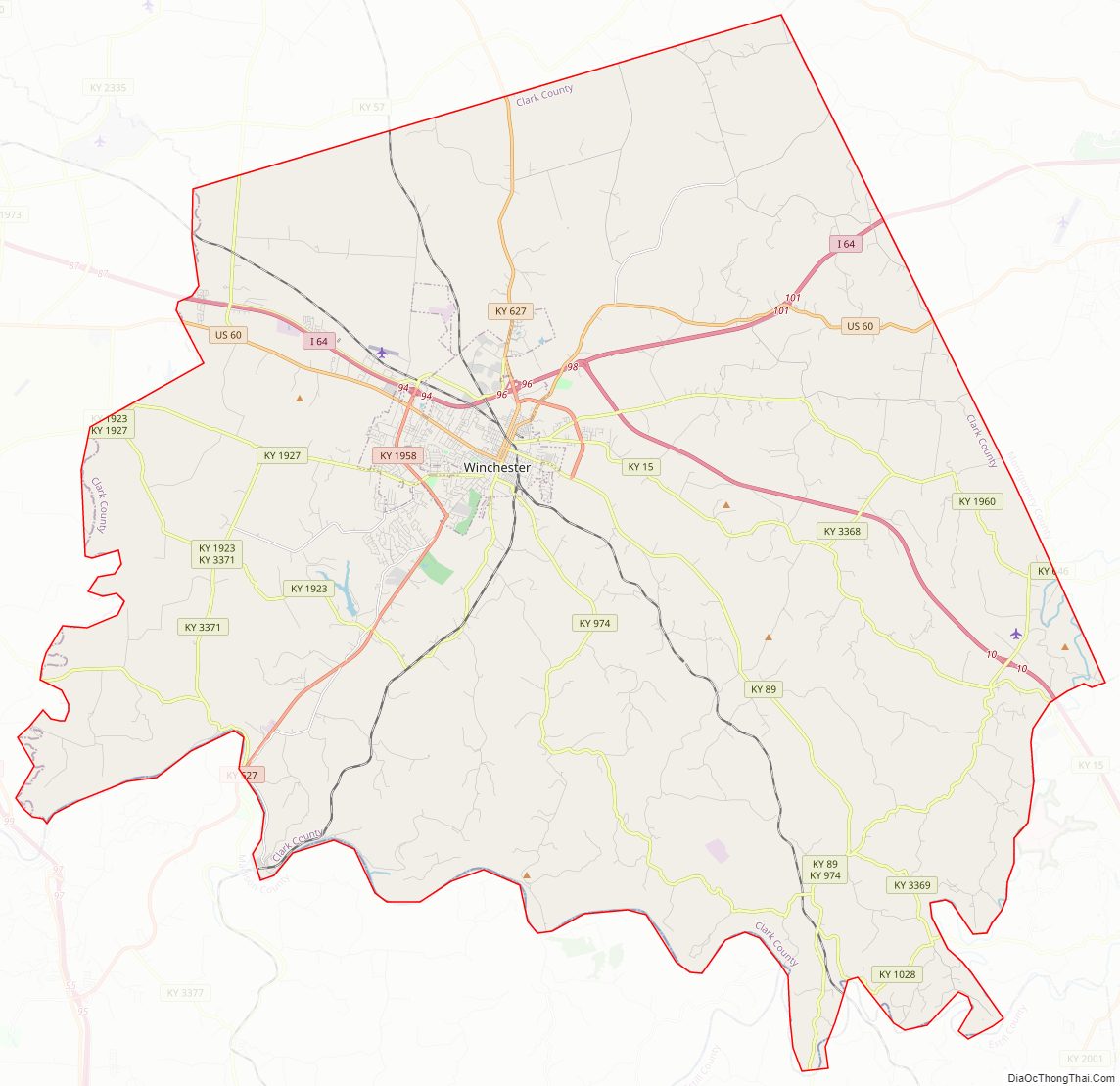
Clark County is a county located in the U.S. state of Kentucky. As of the 2020 census, the population was 36,972. Its county seat is Winchester. The county was created in 1792 from Bourbon and Fayette counties and is named for Revolutionary War hero George Rogers Clark. Clark County is part of the Lexington–Fayette, KY Metropolitan Statistical Area.
| Name: | Clark County |
|---|---|
| FIPS code: | 21-049 |
| State: | Kentucky |
| Founded: | 1792 |
| Named for: | George Rogers Clark |
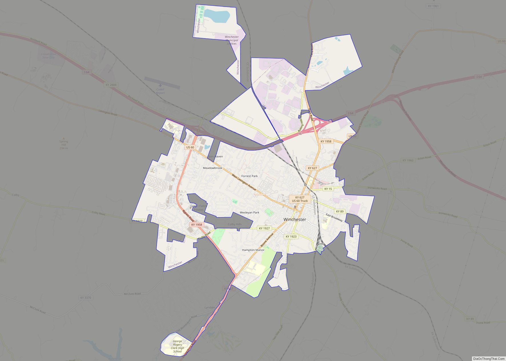
| Seat: | Winchester |
| Largest city: | Winchester |
| Total Area: | 255 sq mi (660 km²) |
| Land Area: | 252 sq mi (650 km²) |
| Total Population: | 36,972 |
| Population Density: | 140/sq mi (56/km²) |
| Time zone: | UTC−5 (Eastern) |
| Summer Time Zone (DST): | UTC−4 (EDT) |
| Website: | www.clarkcoky.com |
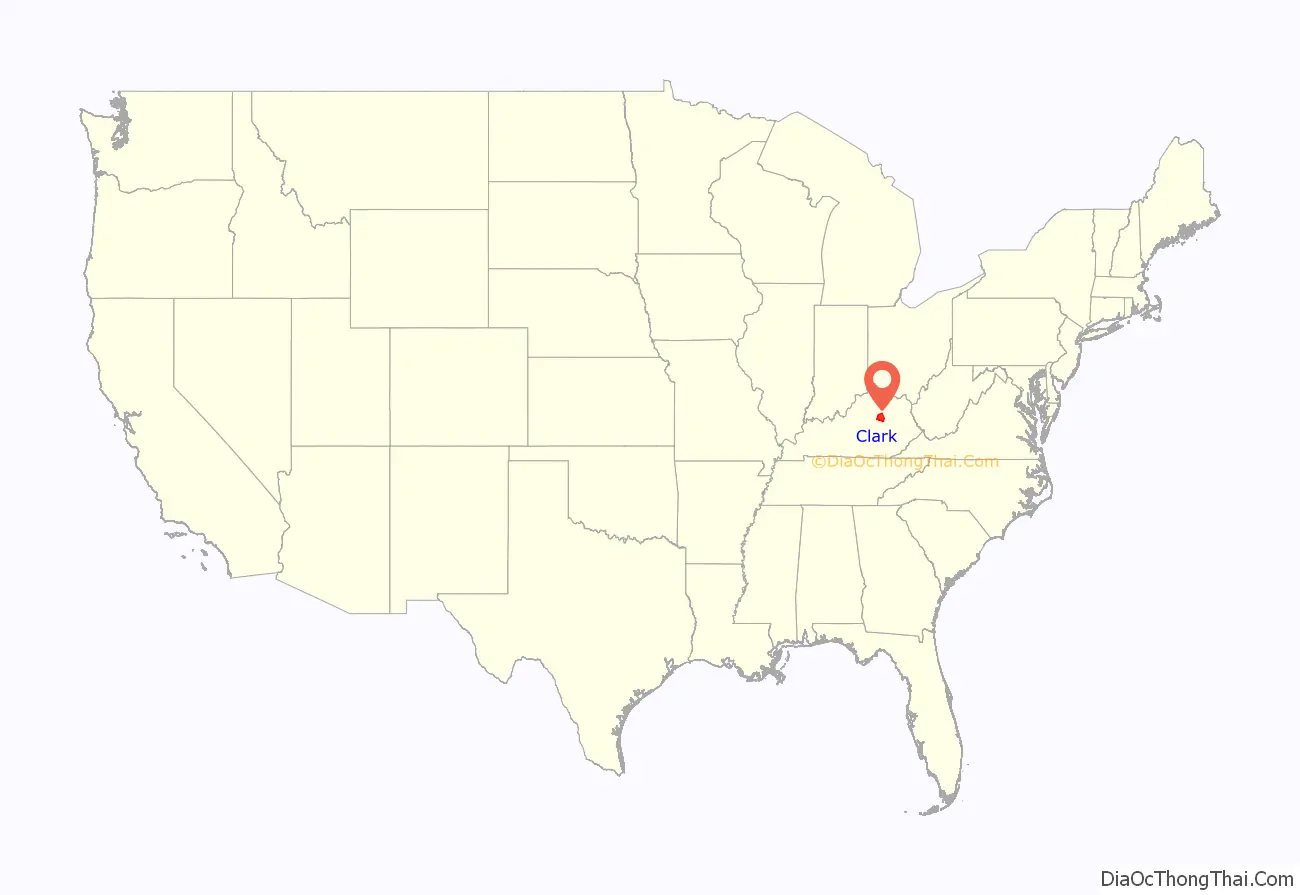
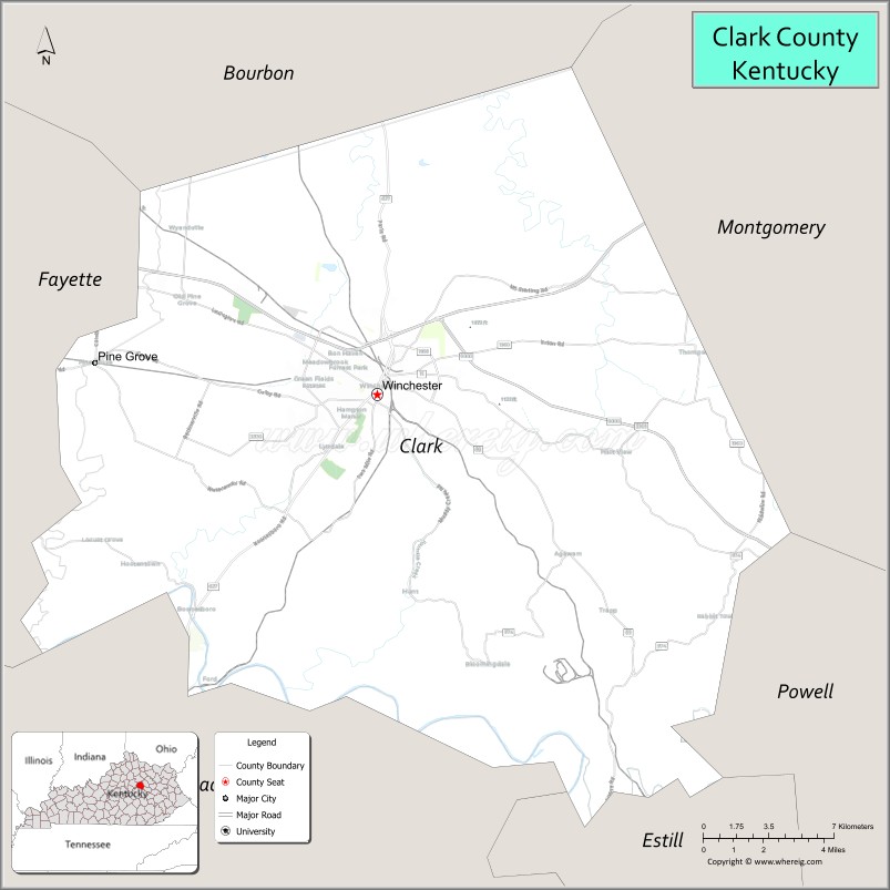
Clark County location map. Where is Clark County?
History
White European settlement is known in this area as early as 1753. Many pioneers traveled through nearby Fort Boonesborough (alternatively known as Fort Boonesboro) in Madison County, Kentucky, before establishing permanent settlements in Clark County. At least nineteen pioneer stations (settlements) are believed to have been established in the area during the American Revolution. These included Strode’s Station (1779), near Winchester; McGee’s Station (ca. 1780), near Becknerville; Holder’s Station (1781), on Lower Howard’s Creek; and Boyle’s Station (ca. 1785), one mile South of Strode’s Station. Among the early settlers was a group of forty Baptist families led by Capt. William Bush, who settled on Lower Howard’s Creek in 1775. In 1793 they erected the Old Stone Meeting House. Another early group founded the Tracy settlement, erecting a church building in the 1790s that survived into the early 20th century.
When the Indian threat ended, commercial and agricultural enterprises began. Wharfs for loading flatboats were located along the Kentucky River and its tributaries. In the early 19th century, Clark County farmers began importing European livestock. Industries such as distilleries and mills thrived all through the county until 1820, when they began to be concentrated around Winchester.
Clark County began in 1785 as Bourbon County, Virginia, when it was created from Fayette County, Kentucky (also then in Virginia). It was much larger area than present-day Bourbon County, as its original territory is now divided among Bracken, Boone, Campbell, Clark, Estill, Fleming, Floyd, Greenup, Harrison, Kenton, Mason, Montgomery, Lewis, Nicholas, Pendleton, Powell, and Robertson. Bourbon County is from which Bourbon whiskey evolved its name.
Notable residents of early Clark County were Gov. Charles Scott (1808–12), Gov. James Clark (1836–39), Jane Lampton, the mother of Mark Twain, and sculptor Joel T. Hart.
The Civil War divided the county, and about 1,000 of its men joined either the Confederate or Union forces. Confederate General John Hunt Morgan led his Confederate cavalry through the county on raids in both 1862 and 1864.
The Elizabethtown, Lexington & Big Sandy Railroad reached Clark County in 1873, followed by the Kentucky Central in 1881, and the Kentucky Union (later abandoned) in 1883. The railroads helped make Winchester a transportation, commercial, and educational center, and gave rise to small service communities such as Hedges Station, six miles east of Winchester, and Ford, a once-prosperous mill town on the Kentucky River.
A number of agricultural changes occurred in the postbellum years through World War II. When Clark County shorthorn cattle were not able to compete with the vast numbers of western cattle being hauled to market by the railroads, several county fortunes were lost and many farmers turned towards burley tobacco as a substitute. Hemp, which was grown to make rope, suffered from foreign competition and vanished as a cash crop around World War I. The crop was brought back during World War II and a processing plant was built in the county. When the war ended, so did the revival of hemp.
In the 1950s and 1960s, industry began moving to the county, mostly around Winchester, aided by the completion of I-64 and the Mountain Parkway, which by the mid-1960s formed a junction near Winchester. By 1986 manufacturing positions accounted for 25 percent of the employed labor force while another 25 percent was employed in other counties, many in nearby Fayette. The county remains a rich agricultural area, with farms occupying 95 percent of the land.
Clark County is the birthplace of Beer Cheese, a regional delicacy that is growing in popularity across the country. Winchester hosts the annual Beer Cheese Festival in celebration of this Kentucky original treat.
Clark County Road Map
Geography
According to the United States Census Bureau, the county has a total area of 255 square miles (660 km), of which 252 square miles (650 km) is land and 2.7 square miles (7.0 km) (1.1%) is water. The topography of the county is gently rolling. Tobacco is a major farm crop, and livestock are also raised there. Water sources include the Kentucky River, Red River, Lulbegrud Creek, and Boone’s Creek. Lulbegrud Creek is named for Lorbrulgrud, the capital city of Brobdingnag, the land of giant people in Jonathan Swift’s Gulliver’s Travels.
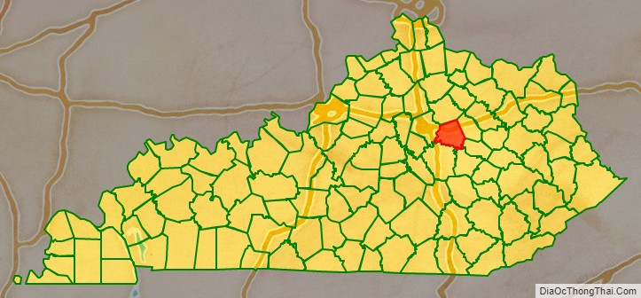
Adjacent counties
- Bourbon County (north)
- Montgomery County (northeast)
- Powell County (southeast)
- Estill County (southeast)
- Madison County (southwest)
- Fayette County (northwest)
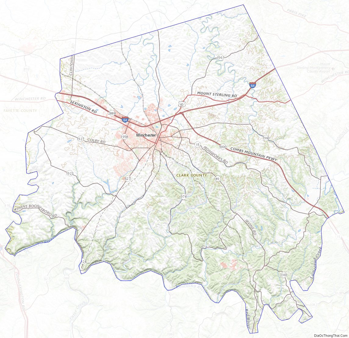
Clark County Topographic Map
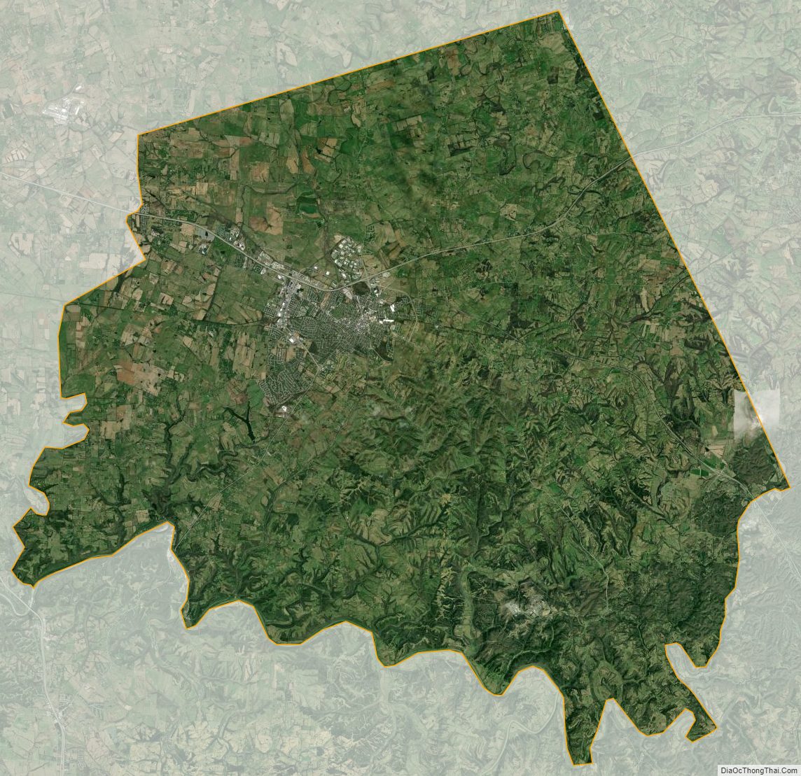
Clark County Satellite Map
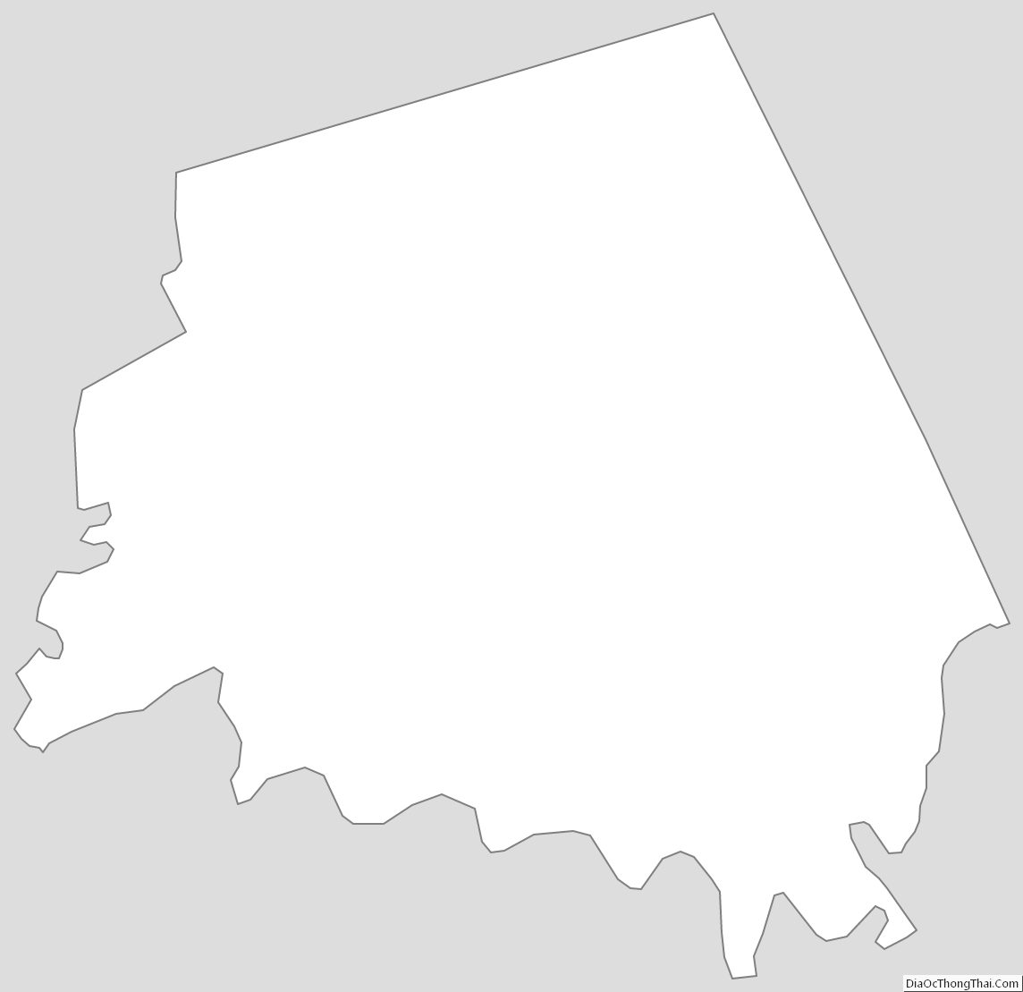
Clark County Outline Map