Nemaha County (standard abbreviation: NM) is a county located in the northeastern part of the U.S. state of Kansas. As of the 2020 census, the county population was 10,273. The county seat is Seneca.
| Name: | Nemaha County |
|---|---|
| FIPS code: | 20-131 |
| State: | Kansas |
| Founded: | August 25, 1855 |
| Named for: | Nemaha River |
| Seat: | Seneca |
| Largest city: | Sabetha |
| Total Area: | 719 sq mi (1,860 km²) |
| Land Area: | 717 sq mi (1,860 km²) |
| Total Population: | 10,273 |
| Population Density: | 14.3/sq mi (5.5/km²) |
| Time zone: | UTC−6 (Central) |
| Summer Time Zone (DST): | UTC−5 (CDT) |
| Website: | nmcoks.us |
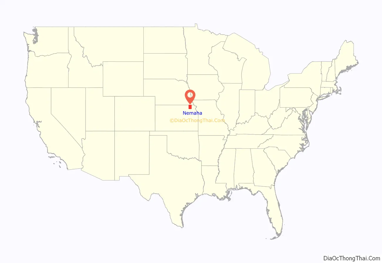
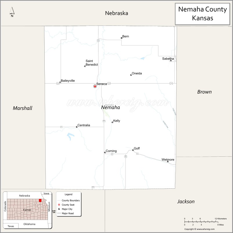
Nemaha County location map. Where is Nemaha County?
History
Early history
For many millennia the Great Plains of North America was inhabited by nomadic Native Americans. From the 16th century to 18th century, the Kingdom of France claimed ownership of large parts of North America. In 1762, after the French and Indian War, France secretly ceded New France to Spain, per the Treaty of Fontainebleau.
19th century
In 1802, Spain returned most of the land to France, but keeping title to about 7,500 square miles. In 1803, most of the land for modern day Kansas was acquired by the United States from France as part of the 828,000 square mile Louisiana Purchase for 2.83 cents per acre.
In 1854, the Kansas Territory was organized, then in 1861 Kansas became the 34th U.S. state. In 1855, Nemaha County was established.
The first railroad in Nemaha County was built in 1866.
On May 30, 1879, the “Irving, Kansas Tornado” passed through Nemaha county. This tornado measured F4 on the Fujita scale, and had a damage path 800 yards (730 m) wide and 100 miles (160 km) long. Eighteen people were killed and sixty were injured in this tornado.
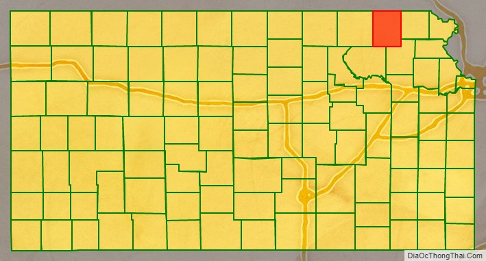
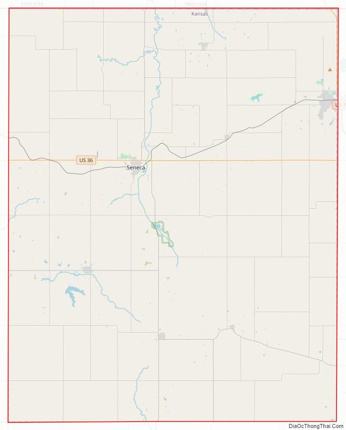
Nemaha County Road Map
Geography
According to the U.S. Census Bureau, the county has a total area of 719 square miles (1,860 km), of which 717 square miles (1,860 km) is land and 2.0 square miles (5.2 km) (0.3%) is water.
Adjacent counties
- Richardson County, Nebraska (northeast)
- Brown County (east)
- Jackson County (southeast)
- Pottawatomie County (southwest)
- Marshall County (west)
- Pawnee County, Nebraska (northwest)
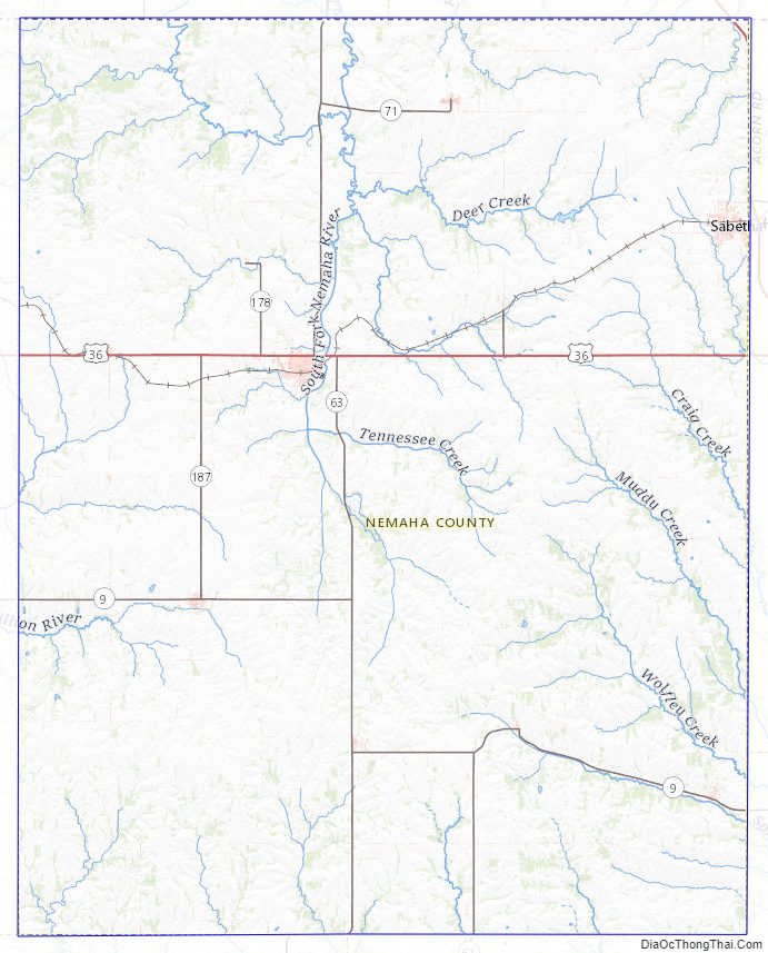
Nemaha County Topographic Map
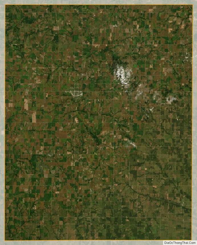
Nemaha County Satellite Map
Nemaha County Outline Map