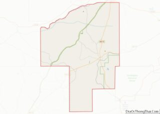
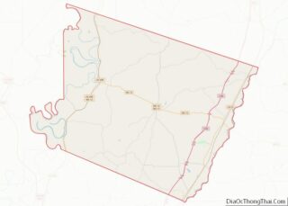
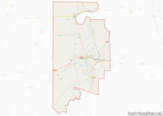
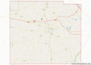
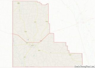
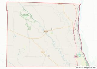
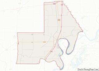
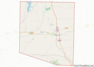
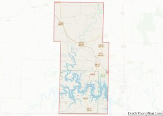
Map of Irion County, Texas
Irion County (/ˈaɪriən/ EYE-ree-ən) is a county located on the Edwards Plateau in the U.S. state of Texas. As of the 2020 census, its population was 1,513. Its county seat is Mertzon. The county is named for Robert Anderson Irion, a secretary of state of the Republic of Texas. Irion County is included in the ... Read more
Map of Irion County, Texas
Map of Kimble County, Texas
Kimble County overview: Name: Kimble County FIPS code: 48-267 State: Texas Founded: 1876 Named for: George C. Kimble Seat: Junction Largest city: Junction Total Area: 1,251 sq mi (3,240 km²) Land Area: 1,251 sq mi (3,240 km²) Total Population: 4,286 Population Density: 3.4/sq mi (1.3/km²) Time zone: UTC−6 (Central) Summer Time Zone (DST): UTC−5 (CDT) Website: www.co.kimble.tx.us Kimble County location map. Where ... Read more
Map of Kimble County, Texas
Map of Llano County, Texas
Llano County (/ˈlænoʊ/) is a county located on the Edwards Plateau in the U.S. state of Texas. As of the 2020 census, its population was 21,243. Its county seat is Llano, and the county is named for the Llano River. During the American Civil War, the county was on the frontier, and Llano County’s soldiers ... Read more
Map of Llano County, Texas
Map of Milam County, Texas
Milam County overview: Name: Milam County FIPS code: 48-331 State: Texas Founded: 1837 Named for: Benjamin Rush Milam Seat: Cameron Largest city: Rockdale Total Area: 1,022 sq mi (2,650 km²) Land Area: 1,017 sq mi (2,630 km²) Total Population: 24,754 Population Density: 24/sq mi (9.4/km²) Time zone: UTC−6 (Central) Summer Time Zone (DST): UTC−5 (CDT) Website: www.milamcounty.net Milam County location map. Where ... Read more
Map of Milam County, Texas
Map of Palo Pinto County, Texas
Palo Pinto County is a county located in the U.S. state of Texas. As of the 2020 census, its population was 28,409. The county seat is Palo Pinto. The county was created in 1856 and organized the following year. Palo Pinto County comprises the Mineral Wells micropolitan statistical area, which is part of the Dallas–Fort ... Read more
Map of Palo Pinto County, Texas
Map of Robertson County, Texas
Robertson County overview: Name: Robertson County FIPS code: 48-395 State: Texas Founded: 1838 Named for: Sterling C. Robertson Seat: Franklin Largest city: Hearne Total Area: 865 sq mi (2,240 km²) Land Area: 856 sq mi (2,220 km²) Total Population: 16,757 Population Density: 19/sq mi (7.5/km²) Time zone: UTC−6 (Central) Summer Time Zone (DST): UTC−5 (CDT) Website: www.co.robertson.tx.us Robertson County location map. Where ... Read more
Map of Robertson County, Texas
Map of Starr County, Texas
Starr County is located in the U.S. state of Texas. As of the 2020 census, its population was 65,920. Its county seat is Rio Grande City. The county was created in 1848. It is named for James Harper Starr, who served as secretary of the treasury of the Republic of Texas. Starr County comprises the ... Read more
Map of Starr County, Texas
Map of Upshur County, Texas
Upshur County is a county located in the eastern part of the U.S. state of Texas. As of the 2020 census, the population was 40,892. The county seat is Gilmer. The county is named for Abel P. Upshur, who was U.S. Secretary of State during President John Tyler’s administration. Upshur County is part of the ... Read more
Map of Upshur County, Texas
Map of Williamson County, Texas
Williamson County overview: Name: Williamson County FIPS code: 48-491 State: Texas Founded: March 13, 1848 Named for: Robert McAlpin Williamson Seat: Georgetown Largest city: Round Rock Total Area: 1,134 sq mi (2,940 km²) Land Area: 1,118 sq mi (2,900 km²) Total Population: 609,017 Population Density: 378/sq mi (146/km²) Time zone: UTC−6 (Central) Summer Time Zone (DST): UTC−5 (CDT) Website: wilco.org Williamson County ... Read more
Map of Williamson County, Texas
Map of Emery County, Utah
Emery County is a county in east-central Utah, United States. As of the 2010 United States Census, the population was 10,976. Its county seat is Castle Dale, and the largest city is Huntington. Emery County overview: Name: Emery County FIPS code: 49-015 State: Utah Founded: February 12, 1880 Named for: George W. Emery Seat: Castle ... Read more
Map of Emery County, Utah
Map of Uintah County, Utah
Uintah County (/juːˈɪntə/ yoo-IN-tə) is a county in the U.S. state of Utah. As of the 2020 United States Census the population was 35,620. Its county seat and largest city is Vernal. The county was named for the portion of the Ute Indian tribe that lived in the basin. Uintah County is the largest natural ... Read more
Map of Uintah County, Utah
Map of Rutland County, Vermont
Rutland County is a county located in the U.S. state of Vermont. As of the 2020 census, the population was 60,572, making it the second-most populous county in Vermont. Its county seat and most populous municipality is the city of Rutland. Rutland County overview: Name: Rutland County FIPS code: 50-021 State: Vermont Founded: 1781 Named ... Read more
Map of Rutland County, Vermont