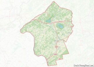
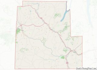
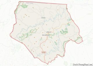
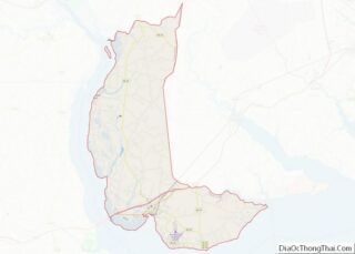
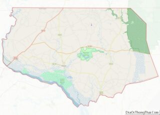
Brown County is a county in the U.S. state of Wisconsin. As of the 2020 census, the population was 268,740, making it the fourth-most populous county in Wisconsin. The county seat is Green Bay, making it one of three Wisconsin counties on Lake Michigan not to have a county seat with the same name. Brown ... Read more
Map of US Counties
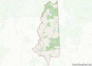
Forest County is a county in the U.S. state of Wisconsin. As of the 2020 census, the population was 9,179. Its county seat is Crandon. The Forest County Potawatomi Community and the Sokaogon Chippewa Community have reservations in Forest County. Forest County overview: Name: Forest County FIPS code: 55-041 State: Wisconsin Founded: 1885 Seat: Crandon ... Read more
Lincoln County is a county located in the U.S. state of Wisconsin. As of the 2020 census, the population was 28,415. Its county seat is Merrill. The county was created in 1875 and named after President Abraham Lincoln. Lincoln County comprises the Merrill, WI Micropolitan Statistical Area, which is also included in the Wausau–Stevens Point–Wisconsin ... Read more
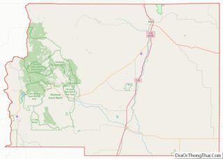
Price County overview: Name: Price County FIPS code: 55-099 State: Wisconsin Founded: 1882 Named for: William T. Price Seat: Phillips Largest city: Park Falls Total Area: 1,278 sq mi (3,310 km²) Land Area: 1,254 sq mi (3,250 km²) Total Population: 14,054 Population Density: 11.2/sq mi (4.3/km²) Price County location map. Where is Price County? History Price County was created on March 3, ... Read more
Washington County is a county in the U.S. state of Wisconsin. As of the 2020 census, the population was 136,761. Its county seat is West Bend. The county was created from Wisconsin Territory in 1836 and organized in 1845. It was named after President George Washington. Washington County is part of the Milwaukee–Waukesha–West Allis, WI ... Read more
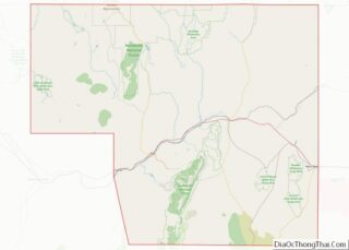
Laramie County is a county located at the southeast corner of the state of Wyoming. As of the 2020 United States Census, the population was 100,512 or 17.4% of the state’s total 2020 population, making it the most populous county in Wyoming, but the least populous county in the United States to be the most ... Read more
Coffee County is a county located in the southeastern part of the U.S. state of Alabama. As of the 2020 census, the population was 53,465. Its name is in honor of General John Coffee. Coffee County comprises the Enterprise, Micropolitan Statistical Area, which was originally Enterprise–Ozark micropolitan area in 2010 censuses before being split off. ... Read more
Greene County is a county located in the west central portion of the U.S. state of Alabama. As of the 2020 census, the population was 7,730, the least populous county in Alabama. Its county seat is Eutaw. It was named in honor of Revolutionary War General Nathanael Greene of Rhode Island. As of the 2020 ... Read more
Marshall County is a county of the state of Alabama, United States. As of the 2020 census the population was 97,612. Its county seat is Guntersville. A second courthouse is in Albertville. Its name is in honor of John Marshall, famous Chief Justice of the United States. Marshall County is a dry county, with the ... Read more
Walker County is a county located in the central portion of the U.S. state of Alabama. As of the 2020 census, the population was 65,342. Its county seat is Jasper. Its name is in honor of John Williams Walker, the first U.S. senator elected from Alabama. Walker County comprises the entirety of the Jasper, AL ... Read more
Kodiak Island Borough (Russian: Остров Кадьяк) is a borough in the U.S. state of Alaska. At the 2020 census, the population was 13,101, down from 13,592 in 2010. The borough seat is Kodiak. Kodiak Island Borough overview: Name: Kodiak Island Borough FIPS code: 02-150 State: Alaska Named for: Kodiak Island Seat: Kodiak Largest city: Kodiak ... Read more
Coconino County overview: Name: Coconino County FIPS code: 04-005 State: Arizona Founded: February 18, 1891 Named for: Hopi designation for the Havasupai, Hualapai, and/or Yavapai tribes Seat: Flagstaff Largest city: Flagstaff Total Area: 18,661 sq mi (48,330 km²) Land Area: 18,619 sq mi (48,220 km²) Total Population: 145,101 Population Density: 7.8/sq mi (3.0/km²) Time zone: UTC−7 (Mountain) Website: coconino.az.gov Coconino County location ... Read more