Winston County is a county located in the U.S. state of Mississippi. In the 2020 census, the population was 17,714. Its county seat is Louisville. The county is named for Louis Winston (1784–1824), a colonel in the militia, a prominent lawyer, and a judge of the Mississippi Supreme Court.
The county is the site of Nanih Waiya, an ancient mound built in the Woodland period, about 1 CE-300 CE. Since the 17th century, it has been venerated by the Choctaw people who later occupied the area. As of 2008, the mound is owned by the Mississippi Band of Choctaw Indians, a federally-recognized tribe.
| Name: | Winston County |
|---|---|
| FIPS code: | 28-159 |
| State: | Mississippi |
| Founded: | 1833 |
| Named for: | Louis Winston |
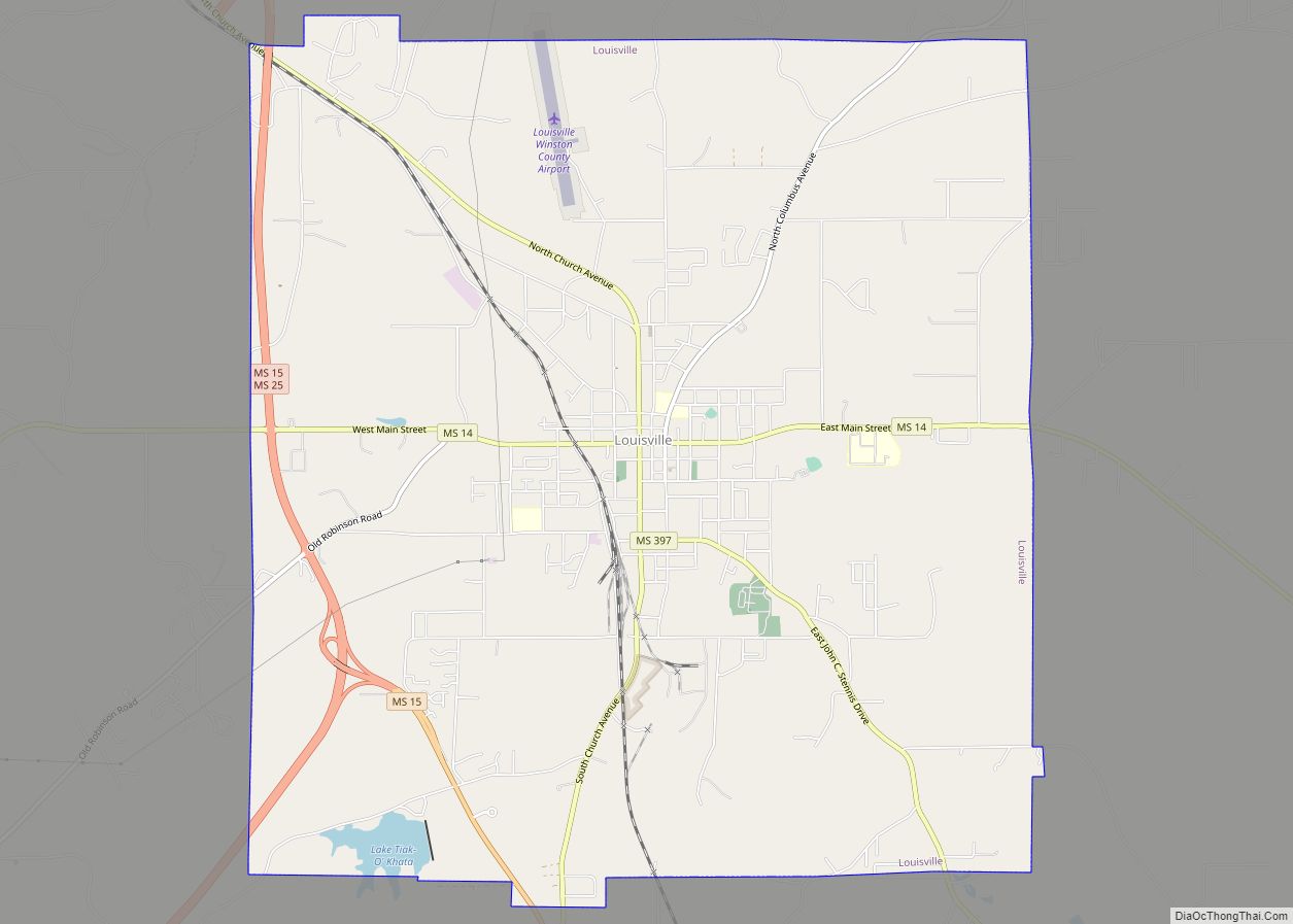
| Seat: | Louisville |
| Largest city: | Louisville |
| Total Area: | 610 sq mi (1,600 km²) |
| Land Area: | 607 sq mi (1,570 km²) |
| Total Population: | 17,714 |
| Population Density: | 29/sq mi (11/km²) |
| Time zone: | UTC−6 (Central) |
| Summer Time Zone (DST): | UTC−5 (CDT) |
| Website: | Winston County, Mississippi Winston County Economic Development District Partnership |
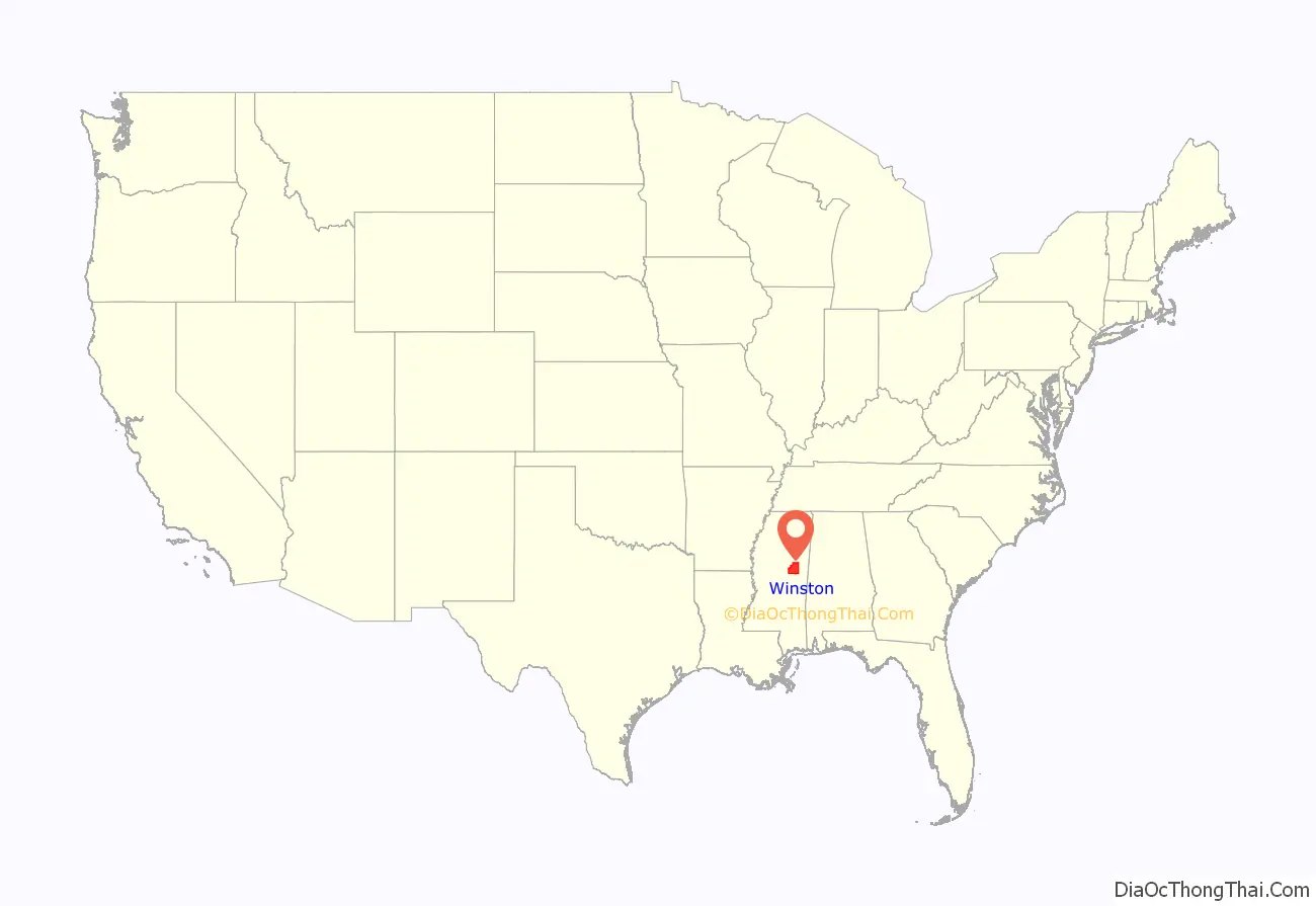
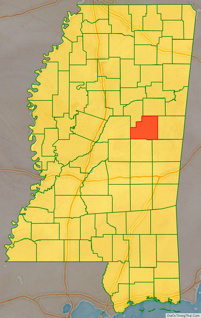
Winston County location map. Where is Winston County?
History
The county is one of sixteen formed when chief Greenwood LeFlore ceded the lands in the Treaty of Dancing Rabbit Creek, which resulted in the removal of the Choctaw Nation from their ancestral lands to Oklahoma.
In 1863, during the American Civil War, the Union Army under Colonel Benjamin H. Grierson, marched through Louisville with 900 troops on a raid through Mississippi. There was no fighting in Winston County and no significant destruction of property.
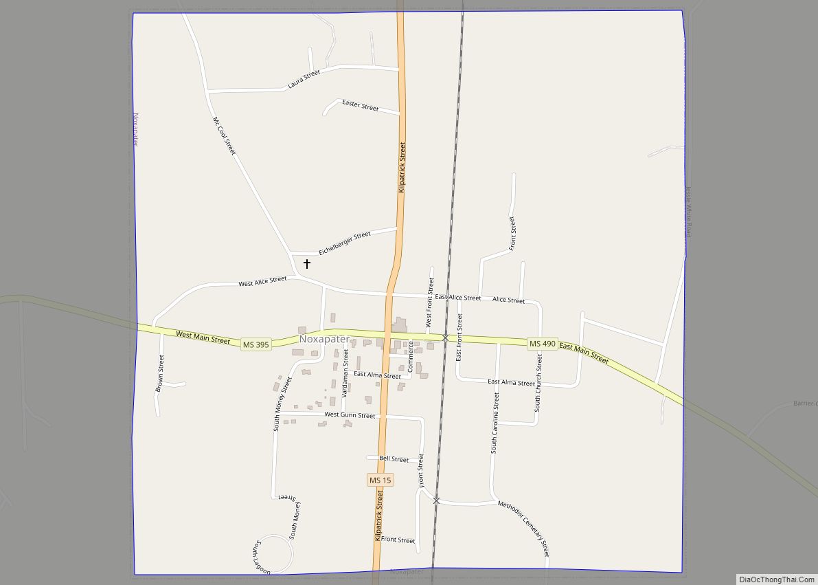
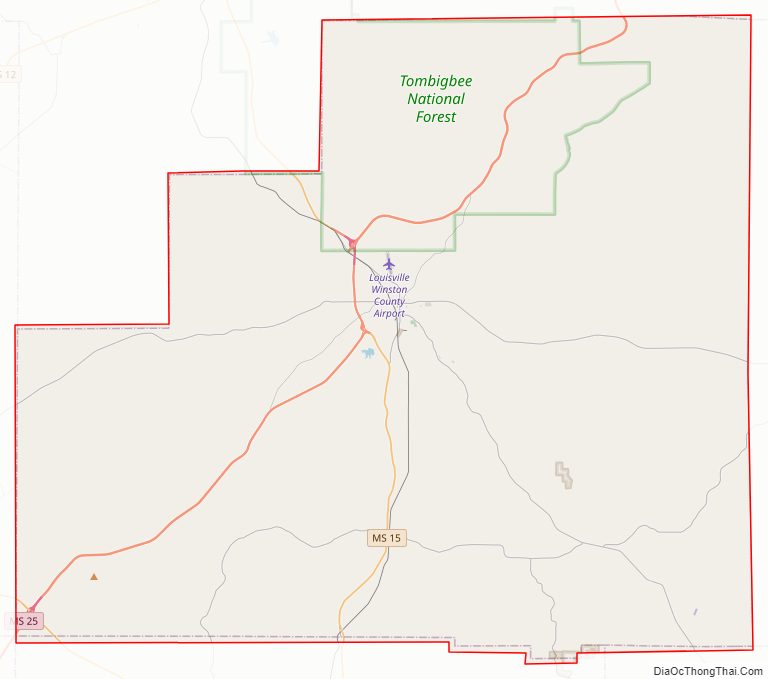
Winston County Road Map
Geography
According to the U.S. Census Bureau, the county has a total area of 610 square miles (1,600 km), of which 607 square miles (1,570 km) is land and 2.8 square miles (7.3 km) (0.5%) is water.
Major highways
- Mississippi Highway 14
- Mississippi Highway 15
- Mississippi Highway 19
- Mississippi Highway 25
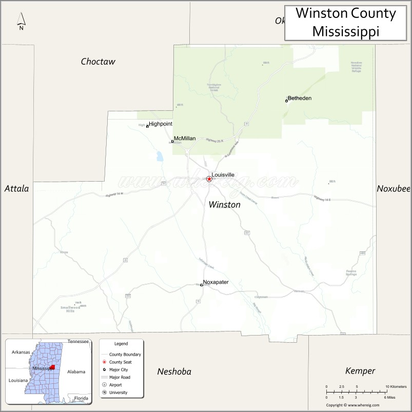
Adjacent counties
- Oktibbeha County (north)
- Noxubee County (east)
- Kemper County (southeast)
- Neshoba County (south)
- Attala County (west)
- Choctaw County (northwest)
National protected area
- Tombigbee National Forest (part)
Winston County Topographic Map
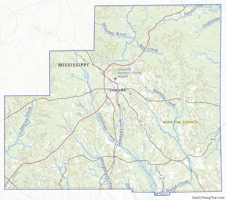
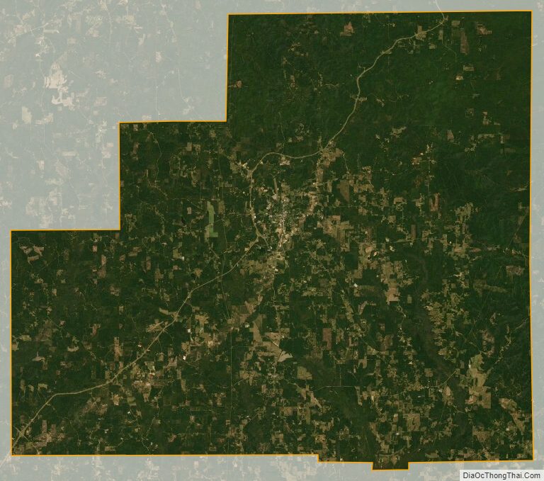
Winston County Satellite Map
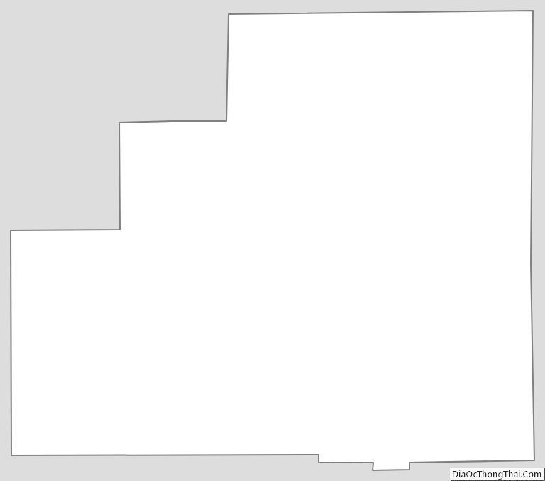
Winston County Outline Map