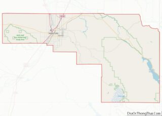
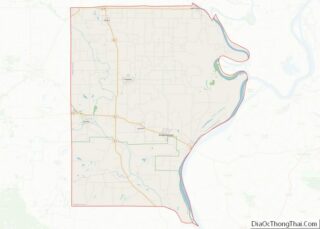
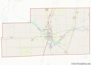
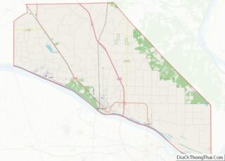
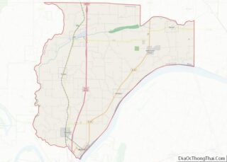
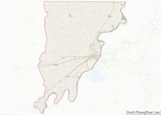
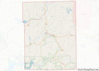
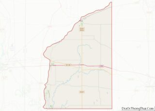
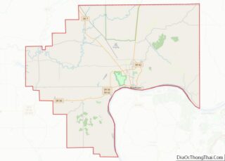
Bonneville County is a county located in the U.S. state of Idaho. As of the 2020 census, the county had a population of 123,964, making it the fourth-most populous county in Idaho and the most populous in eastern Idaho. Its county seat and largest city is Idaho Falls. Bonneville County was established in 1911 and ... Read more