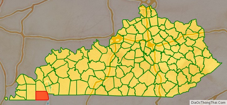
Calloway County is a county located in the southwest part of the U.S. Commonwealth of Kentucky. As of the 2020 census, the population was 37,103. Its county seat is Murray. The county was founded in November 1822 and named for Colonel Richard Callaway, one of the founders of Boonesborough. Calloway County comprises the Murray, KY Micropolitan Statistical Area. As of July 18, 2012 Calloway County is a moist county: the sale of alcohol in the county is prohibited, with the exception of the city of Murray.
| Name: | Calloway County |
|---|---|
| FIPS code: | 21-035 |
| State: | Kentucky |
| Founded: | November 3, 1822 |
| Named for: | Richard Callaway |
| Seat: | Murray |
| Largest city: | Murray |
| Total Area: | 411 sq mi (1,060 km²) |
| Land Area: | 385 sq mi (1,000 km²) |
| Total Population: | 37,103 |
| Population Density: | 90/sq mi (35/km²) |
| Time zone: | UTC−6 (Central) |
| Summer Time Zone (DST): | UTC−5 (CDT) |
| Website: | www.callowaycounty-ky.gov |
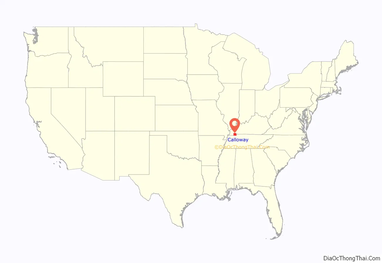
Calloway County location map. Where is Calloway County?
History
Calloway County was created in 1822 from land taken from Hickman County. The courthouse was built in 1823. A fire at the courthouse in 1906 caused the almost complete destruction of the county records. Calloway county was named after Richard Callaway.
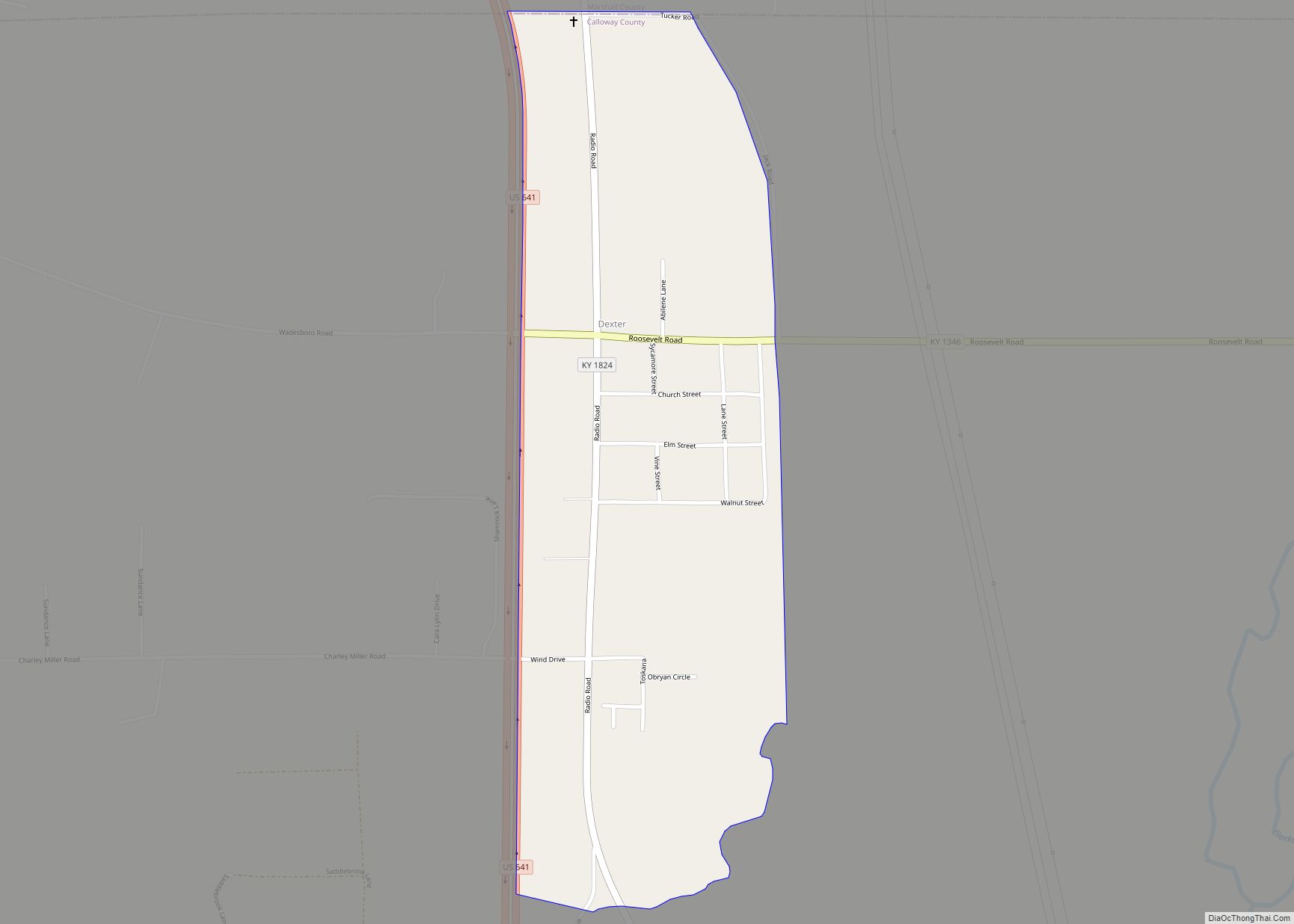
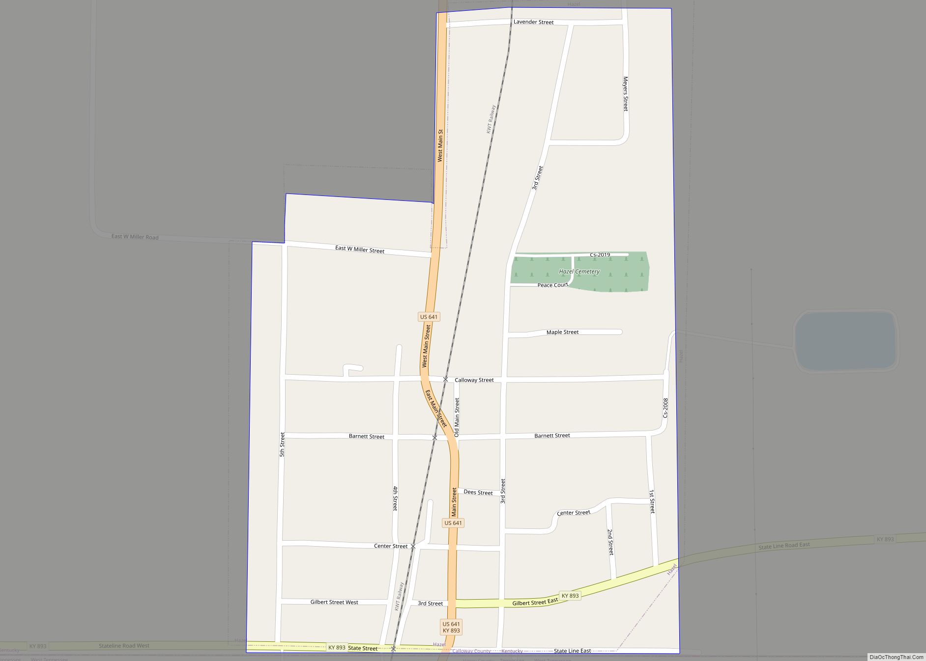
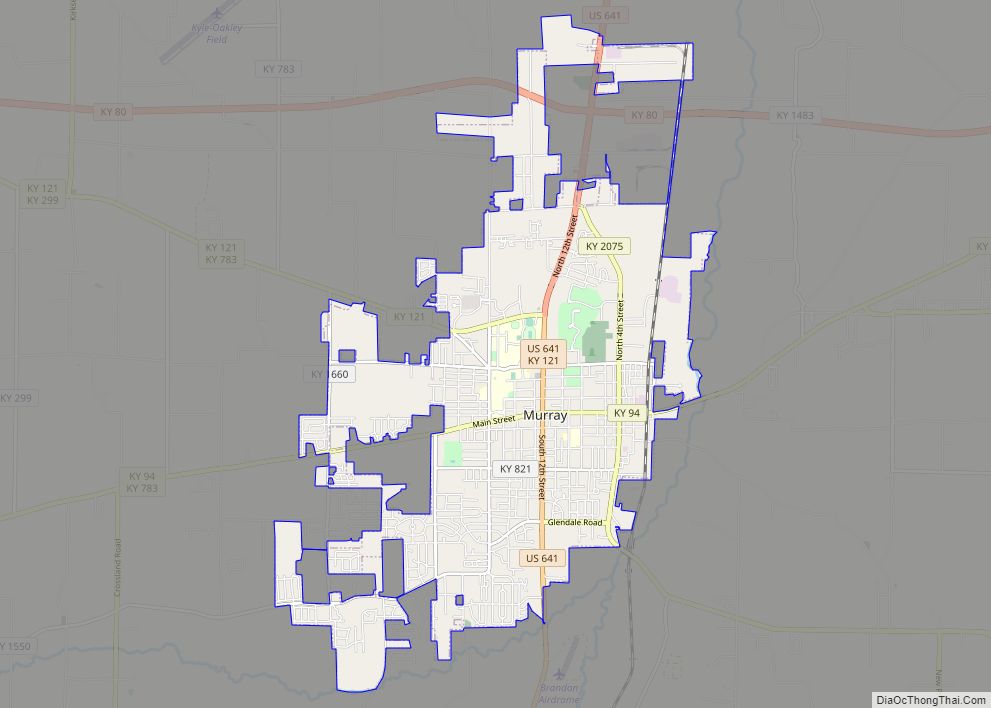
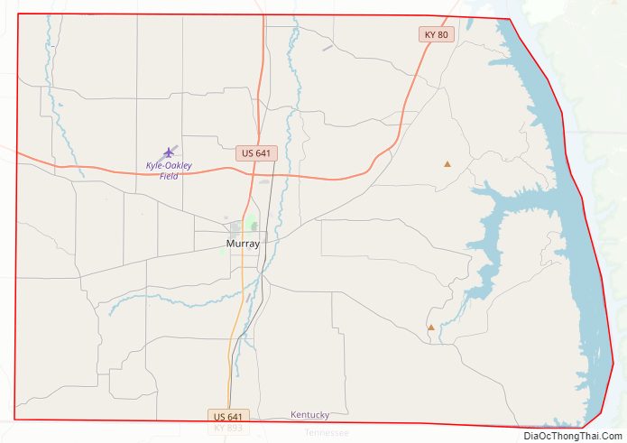
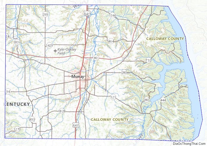
Calloway County Road Map
Geography
According to the United States Census Bureau, the county has a total area of 411 square miles (1,060 km), of which 385 square miles (1,000 km) is land and 26 square miles (67 km) (6.3%) is water.
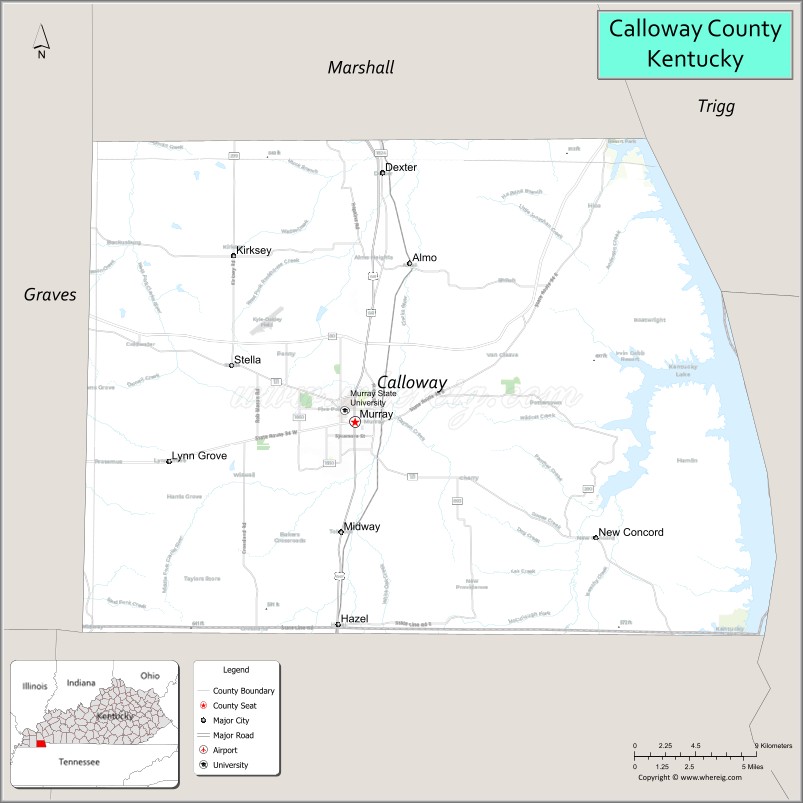
Adjacent counties
- Marshall County (north)
- Trigg County (northeast)
- Stewart County, Tennessee (southeast)
- Henry County, Tennessee (south)
- Graves County (west)
National protected area
- Fort Donelson National Battlefield (Fort Heiman part)
Calloway County Topographic Map
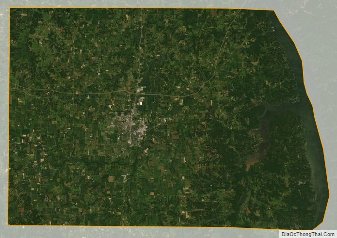
Calloway County Satellite Map
Calloway County Outline Map