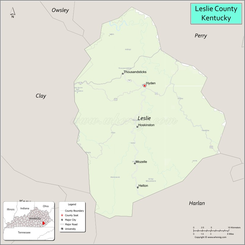
Leslie County is located in the U.S. state of Kentucky. Its county seat is Hyden. Leslie is a prohibition or dry county.
| Name: | Leslie County |
|---|---|
| FIPS code: | 21-131 |
| State: | Kentucky |
| Founded: | 1878 |
| Named for: | Preston Leslie |
| Seat: | Hyden |
| Largest city: | Hyden |
| Total Area: | 404 sq mi (1,050 km²) |
| Land Area: | 401 sq mi (1,040 km²) |
| Total Population: | 10,513 |
| Population Density: | 26/sq mi (10/km²) |
| Time zone: | UTC−5 (Eastern) |
| Summer Time Zone (DST): | UTC−4 (EDT) |
| Website: | www.lesliecounty.ky.gov |
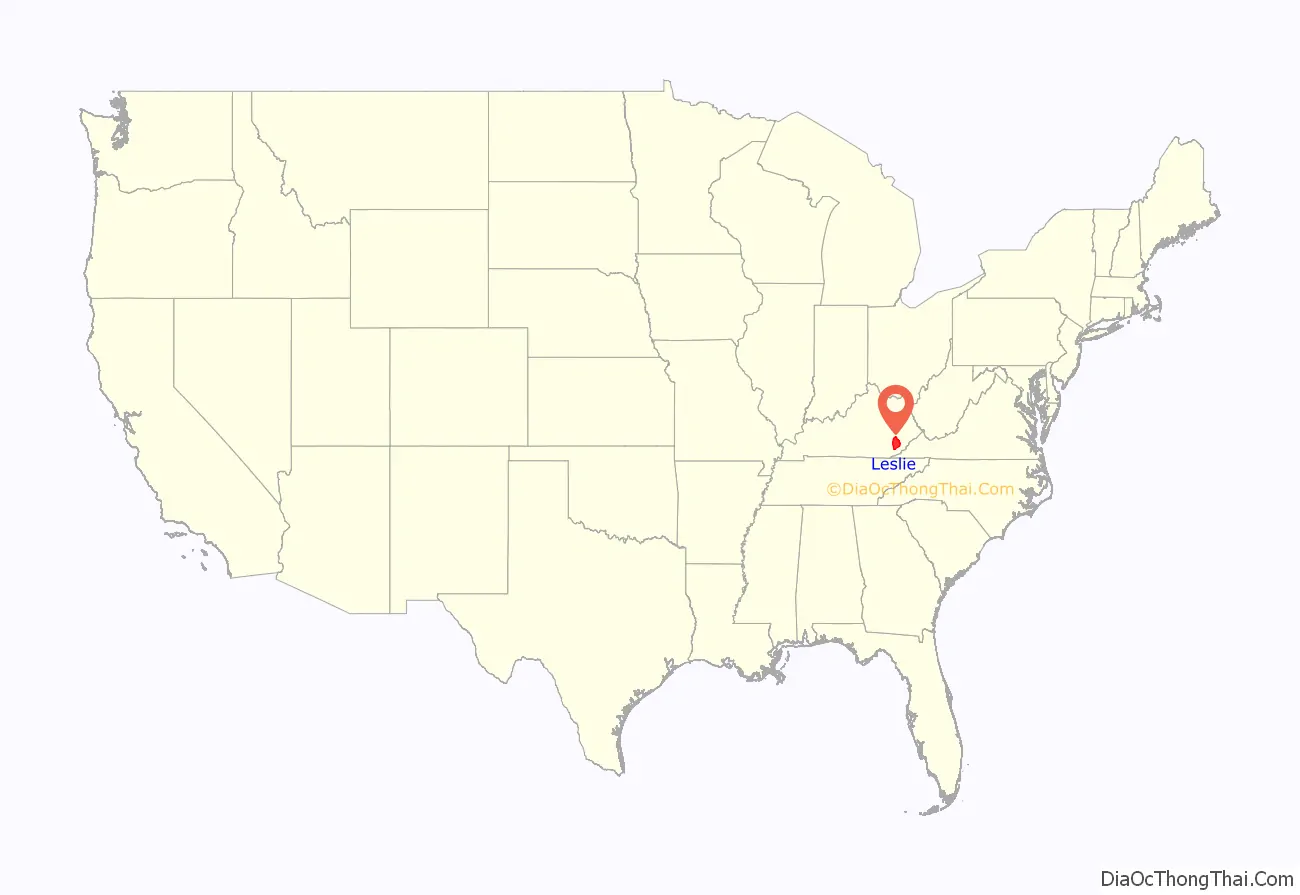
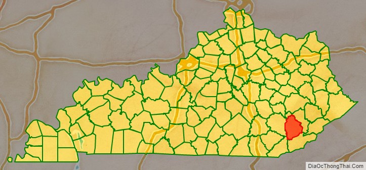
Leslie County location map. Where is Leslie County?
History
Leslie County was founded in 1878. It was named for Preston H. Leslie, Governor of Kentucky (1871-1875).
The Hurricane Creek mine disaster in a Leslie County coal mine in 1970 killed 38 people.
After resigning the presidency, Richard Nixon made his first public appearance, in July 1978, at the Leslie County dedication of a recreation facility named for him. County Judge-Executive C. Allen Muncy claimed the Nixon invitation prompted the U.S. Department of Justice to obtain indictments of him and his associates on vote-fraud charges; while on appeal for his conviction, he won renomination in the Republican primary but lost the 1981 general election to independent Kermit Keen.
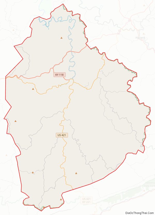
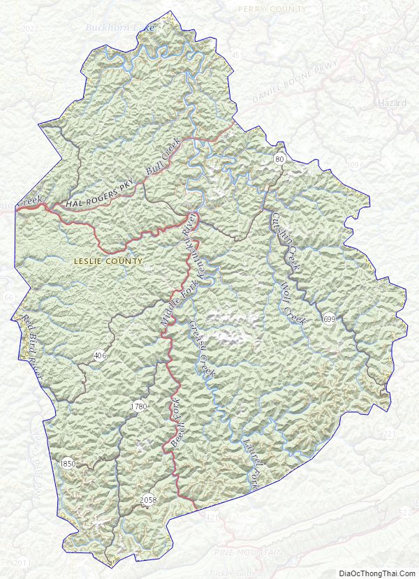
Leslie County Road Map
Geography
According to the U.S. Census Bureau, the county has a total area of 404 square miles (1,050 km), of which 401 square miles (1,040 km) is land and 3.6 square miles (9.3 km) (0.9%) is water.
Adjacent counties
- Perry County (northeast)
- Harlan County (southeast)
- Bell County (southwest)
- Clay County (west)
Leslie County Topographic Map
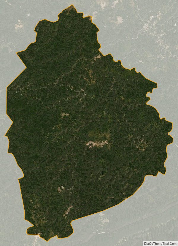
Leslie County Satellite Map
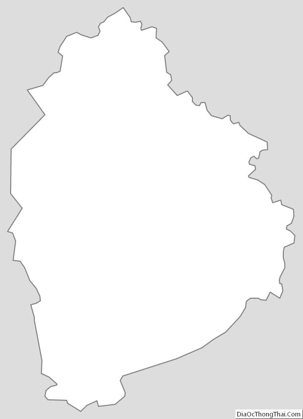
Leslie County Outline Map