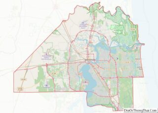
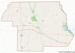
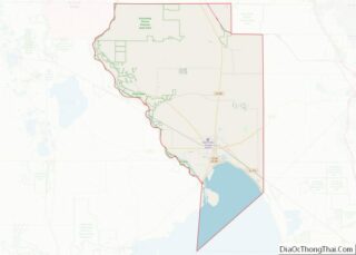
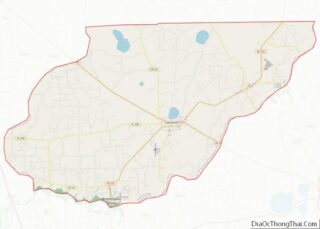
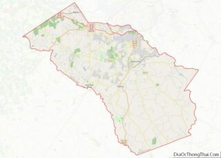
Map of Caribou County

Map of Caribou County, Idaho

Caribou County is a county located in the U.S. state of Idaho. As of the 2020 Census the county had a population of 7,027. The county seat and largest city is Soda Springs. Caribou County overview: Name: Caribou County FIPS code: 16-029 State: Idaho Founded: February 11, 1919 Named for: Caribou Mountains Seat: Soda Springs … Read more

Map of Lewis County

Map of Lewis County, Idaho

Lewis County is a county located in the north central region of the U.S. state of Idaho. As of the 2020 census, the population was 3,533, making it the fourth-least populous county in Idaho. The county seat is Nezperce, and Kamiah is the largest city. Partitioned from Nez Perce County and established in 1911, it … Read more

Map of Bond County

Map of Bond County, Illinois

Bond County is a county located in the U.S. state of Illinois. As of the 2020 census, the population was 16,725. Its county seat is Greenville. Bond County is included in the St. Louis, MO-IL Metropolitan Statistical Area. Bond County overview: Name: Bond County FIPS code: 17-005 State: Illinois Founded: 1817 Named for: Shadrach Bond … Read more

Map of De Kalb County

Map of DeKalb County, Illinois

DeKalb County is a county located in the U.S. state of Illinois. As of the 2020 United States Census, the population was 100,420. Its county seat is Sycamore. DeKalb County is part of the Chicago-Naperville–Elgin, IL-IN–WI Metropolitan Statistical Area. DeKalb County overview: Name: DeKalb County FIPS code: 17-037 State: Illinois Founded: 4 March 1837 Named … Read more

Map of Hardin County

Map of Hardin County, Illinois

Hardin County overview: Name: Hardin County FIPS code: 17-069 State: Illinois Founded: 1839 Named for: Hardin County, Kentucky Seat: Elizabethtown Largest city: Rosiclare Total Area: 182 sq mi (470 km²) Land Area: 178 sq mi (460 km²) Total Population: 3,649 Population Density: 20/sq mi (8/km²) Time zone: UTC−6 (Central) Summer Time Zone (DST): UTC−5 (CDT) Website: www.hardincountyil.org Hardin County location map. Where … Read more

Map of Lake Michigan Water body

Map of Lake Michigan Water body, Illinois

Lake Michigan Water body overview: Name: Lake Michigan Water body State: Illinois Lake Michigan Water body location map. Where is Lake Michigan Water body? Lake Michigan Water body Road Map Lake Michigan Water body Topographic Map Lake Michigan Water body Satellite Map Lake Michigan Water body Outline Map See also

Map of Mercer County

Map of Mercer County, Illinois

Mercer County is a county in Illinois. According to the 2010 census, it had a population of 16,434. Its county seat is Aledo. Mercer County is included in the Davenport–Moline–Rock Island, IA-IL Metropolitan Statistical Area. Mercer County overview: Name: Mercer County FIPS code: 17-131 State: Illinois Founded: January 13, 1825 Named for: Hugh Mercer Seat: … Read more

Map of Saint Clair County

Map of St. Clair County, Illinois

St. Clair County overview: Name: St. Clair County FIPS code: 17-163 State: Illinois Founded: 1790 Named for: Arthur St. Clair Seat: Belleville Largest city: Belleville Total Area: 674 sq mi (1,750 km²) Land Area: 658 sq mi (1,700 km²) Total Population: 257,400 Population Density: 380/sq mi (150/km²) Time zone: UTC−6 (Central) Summer Time Zone (DST): UTC−5 (CDT) Website: www.co.st-clair.il.us St. Clair County … Read more

Map of Whiteside County

Map of Whiteside County, Illinois

Whiteside County is a county located in the U.S. state of Illinois. According to the 2010 census, it had a population of 58,498. Its county seat is Morrison. The county is bounded on the west by the Mississippi River. Whiteside County comprises the Sterling, IL Micropolitan Statistical Area, which is also included in the Dixon-Sterling, … Read more

Map of Clinton County

Map of Clinton County, Indiana

Clinton County is a county located in the U.S. state of Indiana. As of 2010, the population was 33,224. The county seat is Frankfort. Clinton County overview: Name: Clinton County FIPS code: 18-023 State: Indiana Founded: 1830 Named for: DeWitt Clinton Seat: Frankfort Largest city: Frankfort Total Area: 405.25 sq mi (1,049.6 km²) Land Area: 405.07 sq mi (1,049.1 km²) Population … Read more

Map of Greene County

Map of Greene County, Indiana

Greene County is a county in the U.S. state of Indiana. As of 2010, the population was 33,165. The county seat is Bloomfield. The county was determined by the US Census Bureau to include the mean center of U.S. population in 1930. Greene County overview: Name: Greene County FIPS code: 18-055 State: Indiana Founded: January … Read more

Map of LaGrange County

Map of LaGrange County, Indiana

LaGrange County is a county located in the U.S. state of Indiana. As of 2020, the population was 40,446. The county seat is LaGrange, Indiana. The county is located in the Northern Indiana region known as Michiana and is about 55 miles (89 km) east of South Bend, 105 miles (169 km) west of Toledo, Ohio, and … Read more