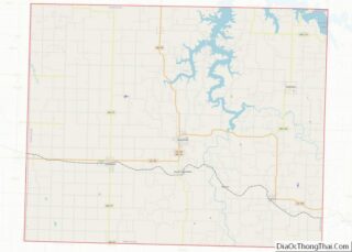
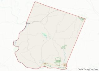
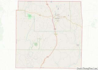
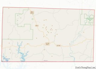
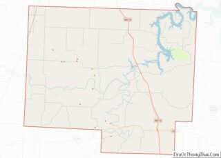
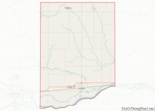
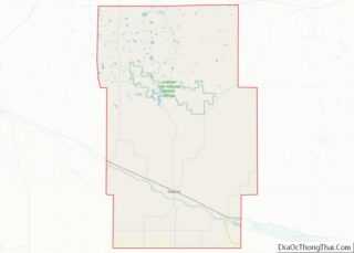
Map of Broadwater County

Map of Broadwater County, Montana

Broadwater County is a county in the U.S. state of Montana. As of the 2020 census, the population was 6,774. Its county seat is Townsend. The county was named for Charles Arthur Broadwater, a noted Montana railroad, real estate, and banking magnate. Broadwater County overview: Name: Broadwater County FIPS code: 30-007 State: Montana Founded: 1897 … Read more

Map of Granite County

Map of Granite County, Montana

Granite County is a county located in the U.S. state of Montana. As of the 2020 census, the population was 3,309. Its county seat is Philipsburg. The county was founded in 1893, and was named for a mountain which contains the Granite Mountain silver mine. Granite County overview: Name: Granite County FIPS code: 30-039 State: … Read more

Map of Phillips County

Map of Phillips County, Montana

Phillips County is a county in the U.S. state of Montana. As of the 2020 census, the population was 4,217. Its county seat is Malta. Before February 5, 1915, Phillips County was part of Blaine County, and before 1912 both were part of Chouteau County. It was named for rancher and state senator Benjamin D. … Read more

Map of Treasure County

Map of Treasure County, Montana

Treasure County is a county in the U.S. state of Montana. As of the 2020 census, the population was 762, making it the second-least populous county in Montana. Its county seat is Hysham. The county was founded in 1919. Treasure County overview: Name: Treasure County FIPS code: 30-103 State: Montana Founded: 1919 Seat: Hysham Largest … Read more

Map of Butler County

Map of Butler County, Nebraska

Butler County is a county in the U.S. state of Nebraska. As of the 2020 United States Census, the population was 8,369. Its county seat is David City. The county was created in 1856 and organized in 1868. In the Nebraska license plate system, Butler County is represented by the prefix 25 (when the license … Read more

Map of Douglas County

Map of Douglas County, Nebraska

Douglas County is a county located in the U.S. state of Nebraska. As of the 2020 United States Census, the population is 584,526. It is the state’s most populous county, home to well over one-fourth of Nebraska’s residents. Its county seat is Omaha, the state’s largest city. The county was established in 1854 and named … Read more

Map of Hitchcock County

Map of Hitchcock County, Nebraska

Hitchcock County is a county in the U.S. state of Nebraska. As of the 2020 United States Census, the population was 2,616. Its county seat is Trenton. In the Nebraska license plate system, Hitchcock County is represented by the prefix 67 (it had the sixty-seventh-largest number of vehicles registered in the county when the license … Read more

Map of McPherson County

Map of McPherson County, Nebraska

McPherson County is a county in the U.S. state of Nebraska. As of the 2020 United States Census, the population was 399, making it the least populous county in the state of Nebraska and the fifth-least populous county in the United States. Its county seat is Tryon. The county was formed in 1890 from Logan … Read more

Map of Saline County

Map of Saline County, Nebraska

Saline County is a county in the U.S. state of Nebraska. As of the 2010 United States Census, the population was 14,200. Its county seat is Wilber. In the Nebraska license plate system, Saline County is represented by the prefix 22 (it had the twenty-second-largest number of vehicles registered in the state when the license … Read more

Map of Wheeler County

Map of Wheeler County, Nebraska

Wheeler County is a county in the U.S. state of Nebraska. As of the 2010 United States Census, the population was 818. Its county seat is Bartlett. The county was formed in 1877 and organized in 1881. The county was named for Major Daniel H. Wheeler, longtime secretary of the Nebraska State Board of Agriculture. … Read more

Map of Storey County

Map of Storey County, Nevada

Storey County is a county located in the U.S. state of Nevada. As of the 2020 census, the population was 4,104, making it the third-least populous county, but one of the fastest-growing economies in Nevada. In 2018, over 18,000 people were employed in the county. Its area is 264 square miles (680 square kilometers), making … Read more

Map of Camden County

Map of Camden County, New Jersey

Camden County overview: Name: Camden County FIPS code: 34-007 State: New Jersey Founded: March 13, 1844 Named for: Charles Pratt, 1st Earl Camden Seat: Camden Total Area: 227.293 sq mi (588.69 km²) Land Area: 221.263 sq mi (573.07 km²) Total Population: 523,485 Population Density: 2,364.9/sq mi (913.1/km²) Website: www.camdencounty.com Camden County location map. Where is Camden County? Camden County Road Map Geography … Read more