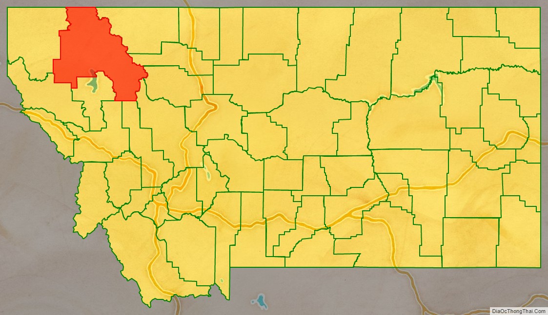
Flathead County is in the U.S. state of Montana. At the 2020 census, its population was 104,357, making it the state’s fourth most populous county. Its county seat is Kalispell. Its numerical designation (used in the issuance of license plates) is 7. Its northern border is on the state’s north border, making it contiguous with the Canada–US border, facing British Columbia.
Flathead County comprises the Kalispell, Montana Micropolitan Statistical Area, with neighboring Lake County following soon after.
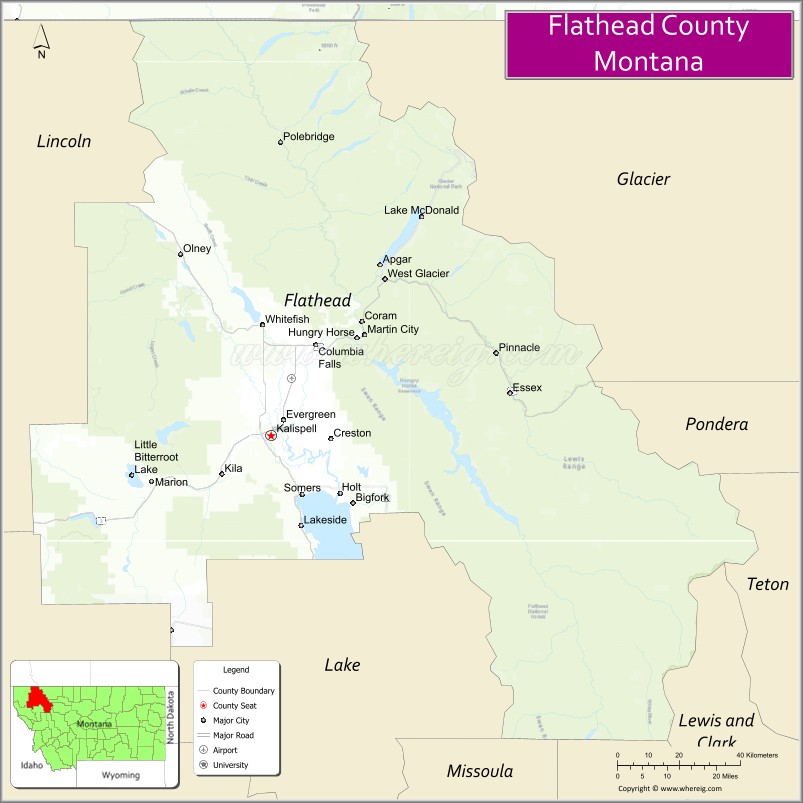
| Name: | Flathead County |
|---|---|
| FIPS code: | 30-029 |
| State: | Montana |
| Founded: | 1893 |
| Named for: | Flathead Indians |
| Seat: | Kalispell |
| Largest city: | Kalispell |
| Total Area: | 5,256 sq mi (13,610 km²) |
| Land Area: | 5,088 sq mi (13,180 km²) |
| Total Population: | 104,357 |
| Population Density: | 20/sq mi (7.7/km²) |
| Time zone: | UTC−7 (Mountain) |
| Summer Time Zone (DST): | UTC−6 (MDT) |
| Website: | flathead.mt.gov |
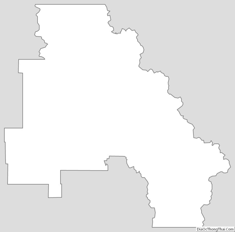
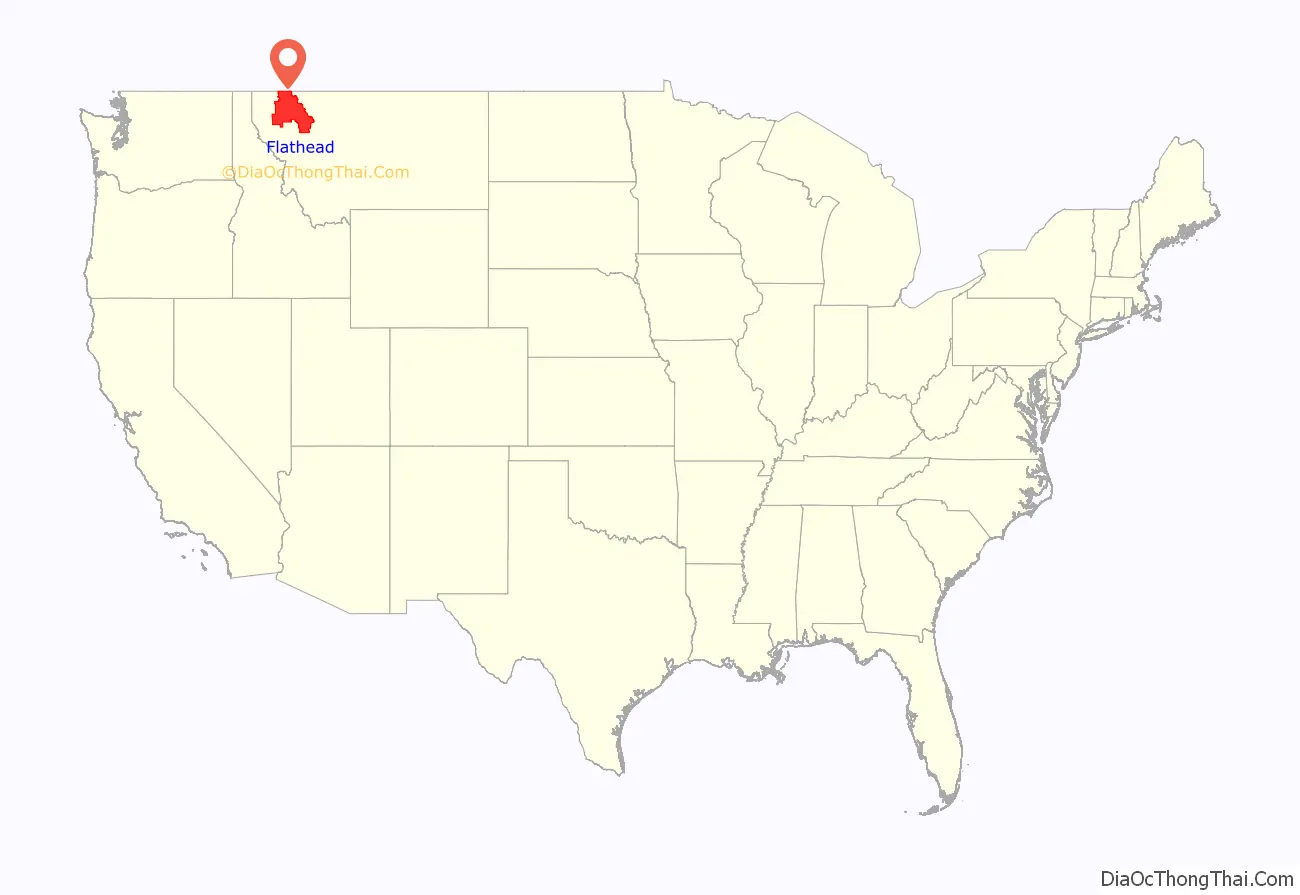
Flathead County location map. Where is Flathead County?
History
Flathead County was founded in 1893. Some sources cite the supposed practice of the Salish tribe flattening infants’ heads as the origin of the name Flathead, but there is no record of Salish Indians ever having that appearance.
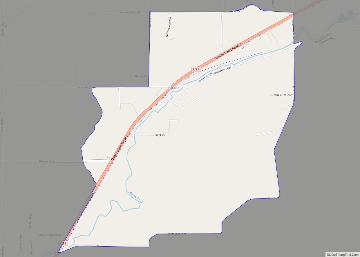
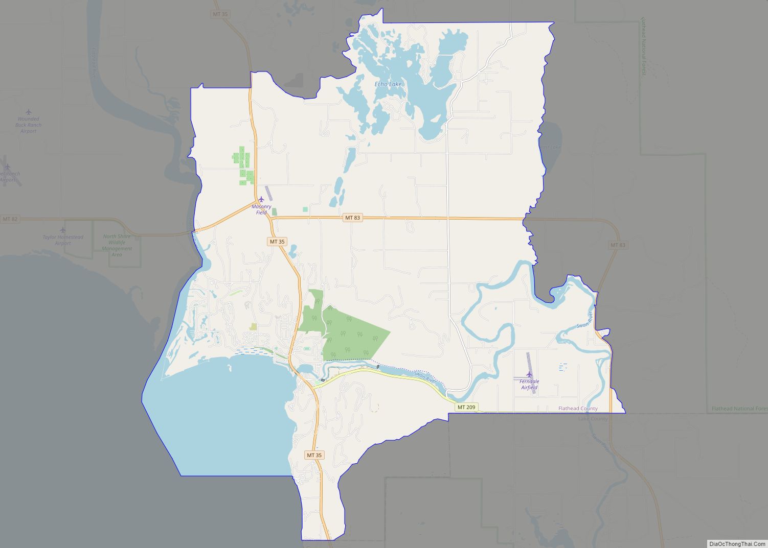
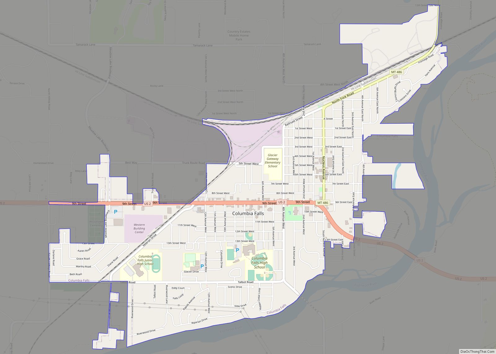
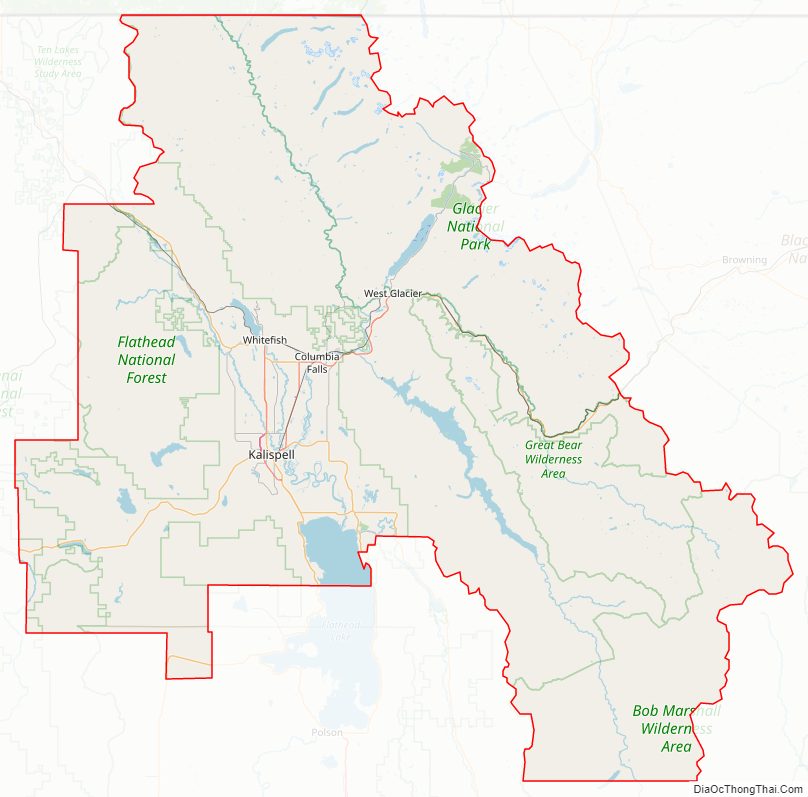
Flathead County Road Map
Geography
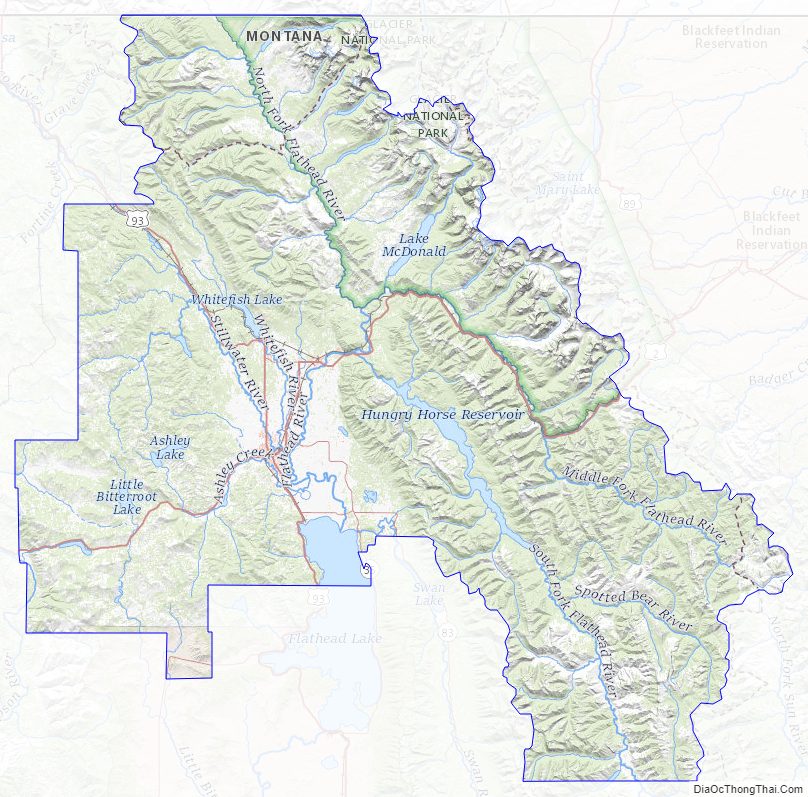
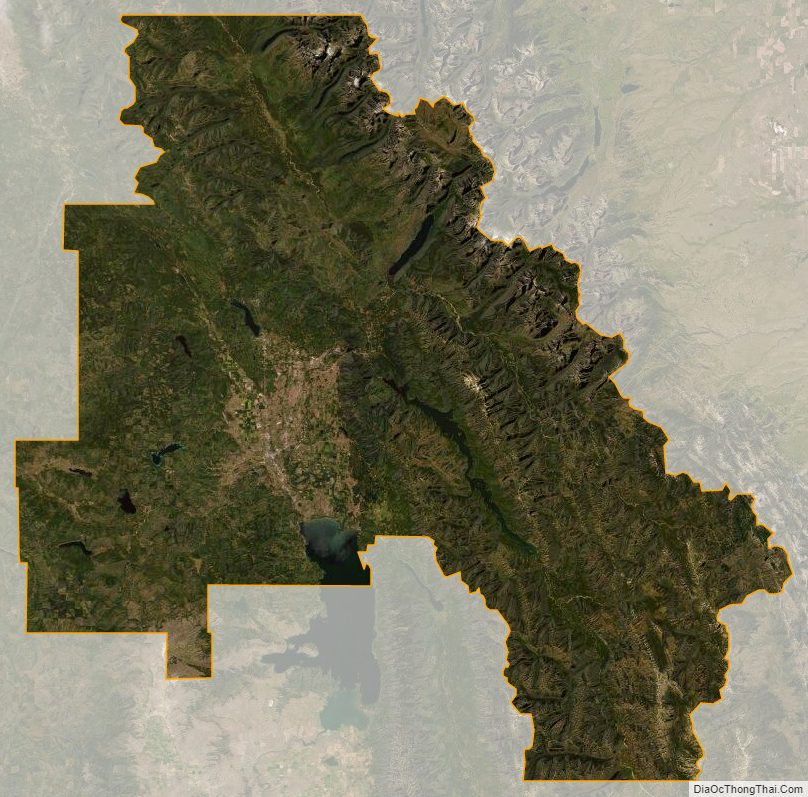
The county includes much of Flathead Lake, the Flathead Valley, and the Flathead River. These natural treasures were created by glacial activity which ended approximately 10,000 years ago. The Flathead Valley is the southern extension of a prominent valley called the Rockey Mountain Trench, which runs from the Yukon Territory in Canada as far south as Flathead Lake. The Trench in northwestern Montana was created by subsidence along a major extensional fault, which continues today. After the valley formed, glaciers flowing down the Trench from British Columbia, and into it from the surrounding mountain ranges left a flat valley floor and dammed the Flathead River drainage to create Flathead Lake. Several tribes have long used the Flathead Lake, and the Bitterroot Salish, Kootenai, and Pend d’Oreilles tribes are represented on the Flathead Reservation. The western part of Glacier National Park is located in the county.
According to the United States Census Bureau, the county has a total area of 5,256 square miles (13,610 km), of which 5,088 square miles (13,180 km) is land and 169 square miles (440 km) (3.2%) is water. It is the third-largest county in Montana by land area and second-largest by total area.
Ecology
Wildlife includes bobcats, black bears, coyotes, deer, elk, grizzly bears, lynx, mountain lions, and wolves.
National protected areas
- Pacific Northwest National Scenic Trail (part)
- Flathead National Forest (part)
- Glacier National Park (part)
- Kootenai National Forest (part)
- Lolo National Forest (part)
- Lost Trail National Wildlife Refuge
Flathead County Topographic Map
Flathead County Satellite Map
Flathead County Outline Map