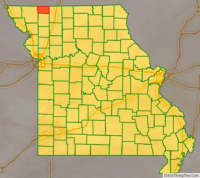
Worth County is a county located in the northwestern portion of the U.S. state of Missouri. As of the 2020 census, the population was 1,973. It is the smallest county in the state in population and, excluding the independent city of St. Louis, the smallest in total area. Its county seat is Grant City. The county was organized February 8, 1861 and named for General William J. Worth, who served in the Mexican–American War. Worth County is also the youngest county in the state.
| Name: | Worth County |
|---|---|
| FIPS code: | 29-227 |
| State: | Missouri |
| Founded: | February 8, 1861 |
| Named for: | William J. Worth |
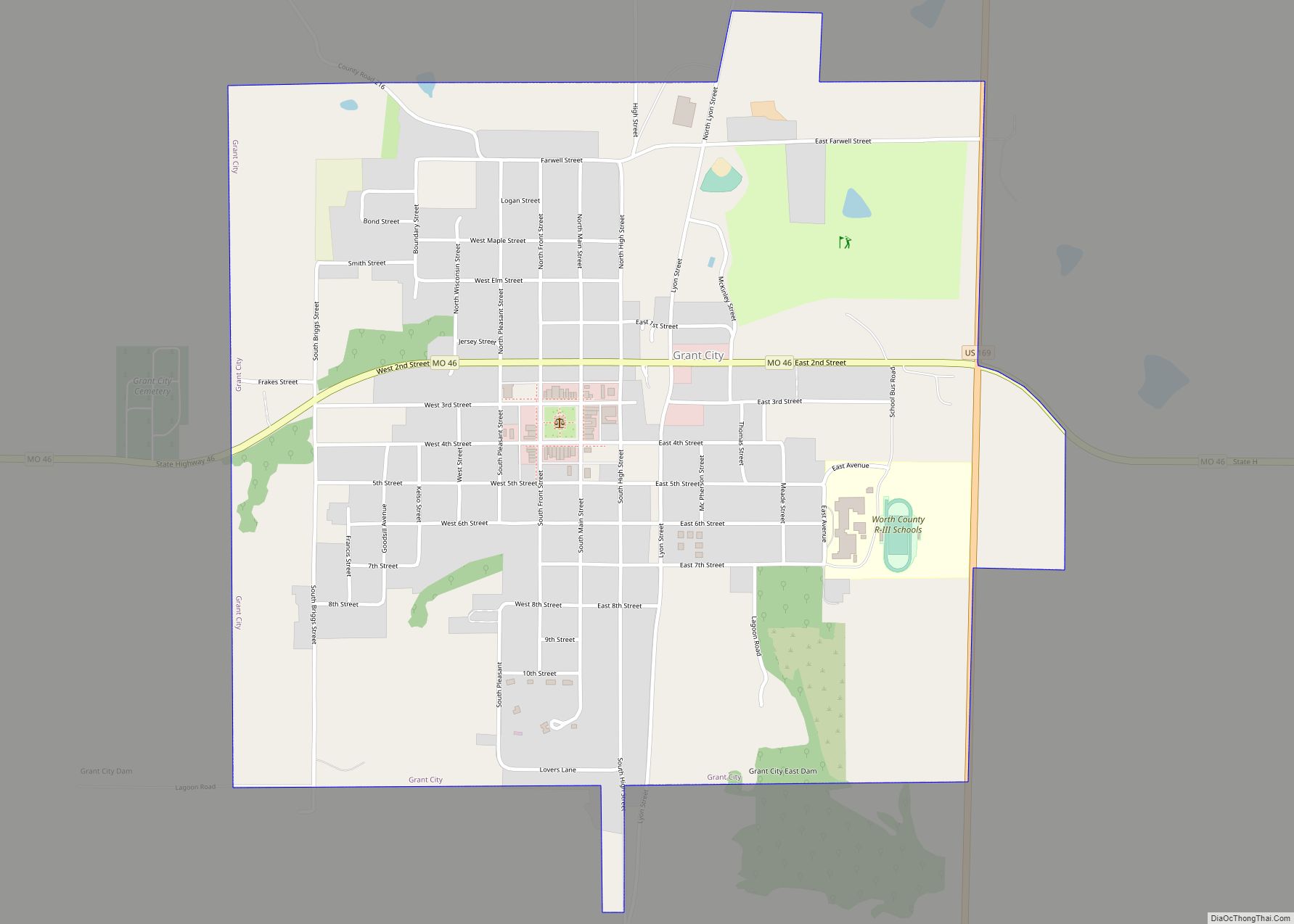
| Seat: | Grant City |
| Largest city: | Grant City |
| Total Area: | 267 sq mi (690 km²) |
| Land Area: | 267 sq mi (690 km²) |
| Total Population: | 1,973 |
| Population Density: | 7.4/sq mi (2.9/km²) |
| Time zone: | UTC−6 (Central) |
| Summer Time Zone (DST): | UTC−5 (CDT) |
| Website: | www.worthcounty.us |
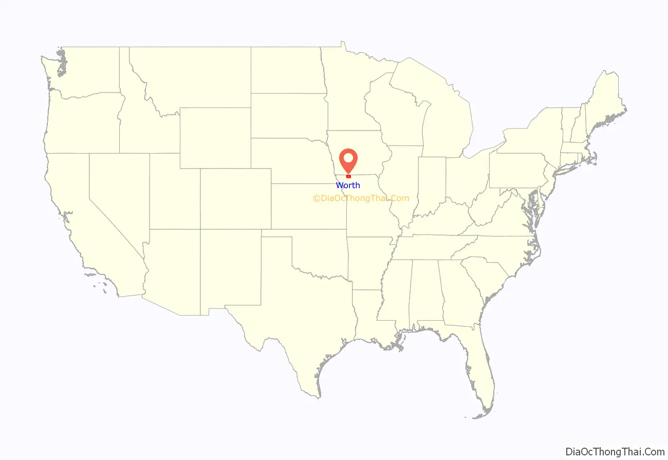
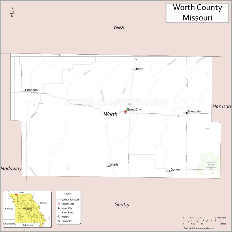
Worth County location map. Where is Worth County?
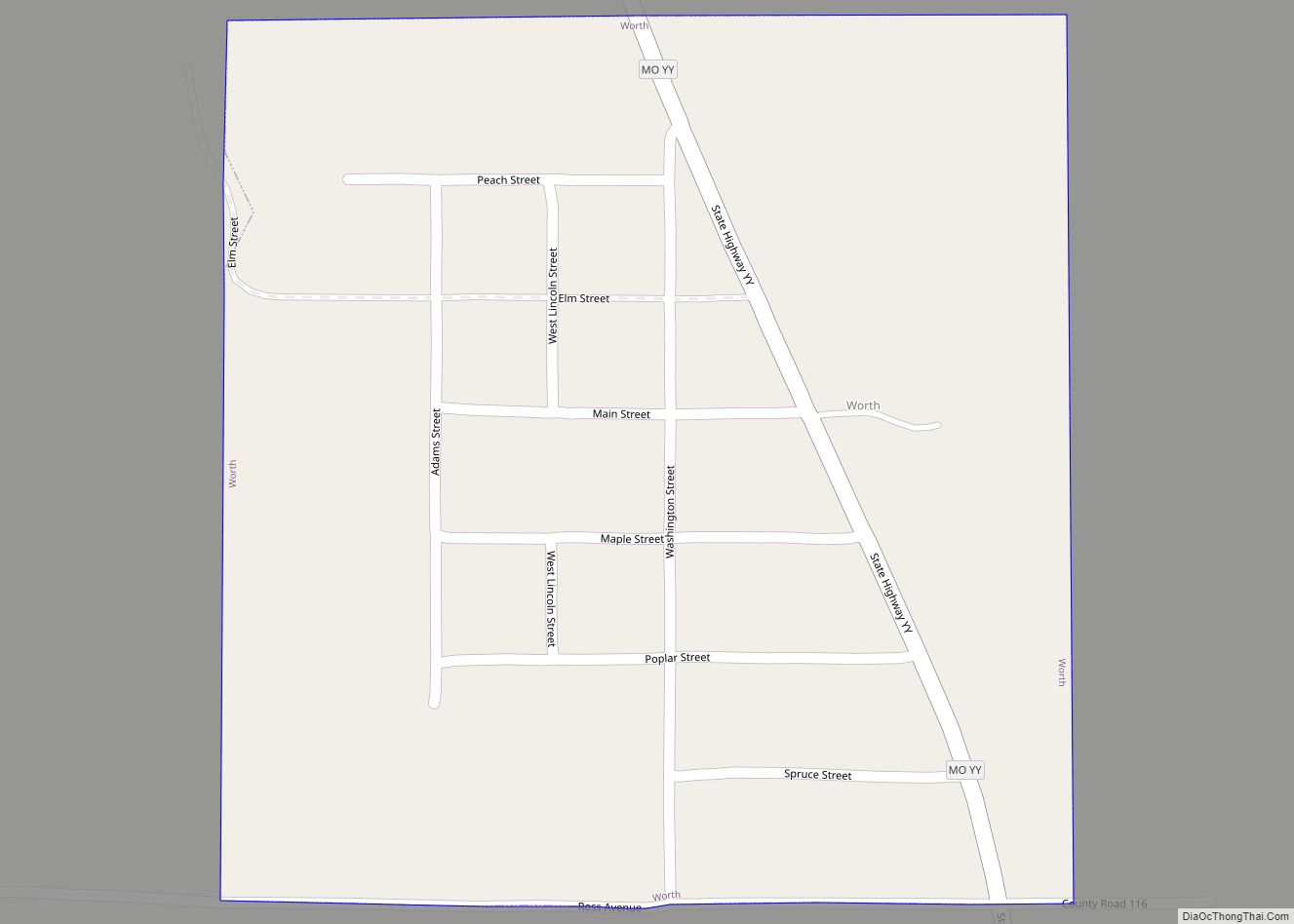
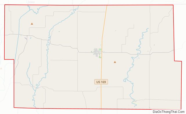
Worth County Road Map
Geography
According to the United States Census Bureau, the county has a total area of 267 square miles (690 km), of which 267 square miles (690 km) is land and 0.2 square miles (0.52 km) (0.08%) is water. It is the smallest county in Missouri by area. Iowa is located to the north of Worth County.
Adjacent counties
- Taylor County, Iowa – northwest
- Ringgold County, Iowa – northeast
- Harrison County – east
- Gentry County – south
- Nodaway County – west
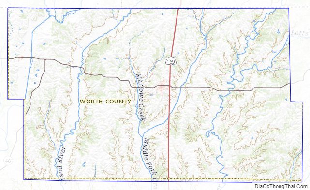
Worth County Topographic Map
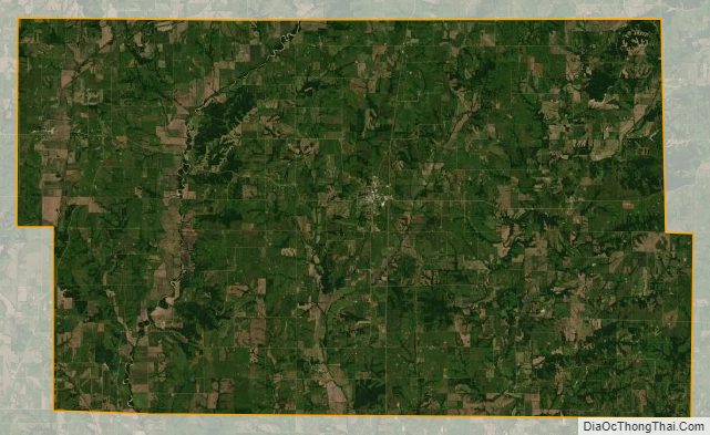
Worth County Satellite Map
Worth County Outline Map