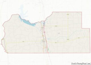
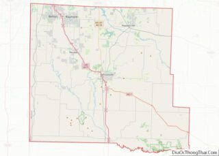
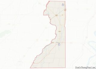
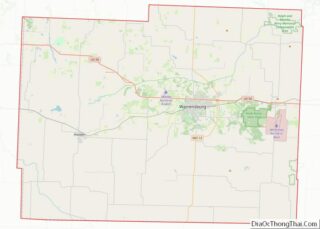
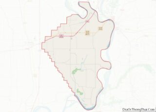
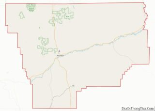
Map of Ventura County

Map of Ventura County, California

Ventura County (/vɛnˈtʊərə/ (listen)) is a county in the southern part of the U.S. state of California. As of the 2020 census, the population was 843,843. The largest city is Oxnard, and the county seat is the city of Ventura. Ventura County comprises the Oxnard–Thousand Oaks–Ventura, CA Metropolitan Statistical Area, which is part of the … Read more

Map of Crowley County

Map of Crowley County, Colorado

Crowley County is a county located in the U.S. state of Colorado. As of the 2020 census, the population was 5,922. The county seat is Ordway. Crowley County overview: Name: Crowley County FIPS code: 08-025 State: Colorado Founded: May 29, 1911 Named for: John H. Crowley Seat: Ordway Largest town: Ordway Total Area: 800 sq mi (2,000 km²) … Read more

Map of Jackson County

Map of Jackson County, Colorado

Jackson County is a county located in the U.S. state of Colorado. As of the 2020 census, the population was 1,379, and it was the fourth least populated in the state. The county is named after the United States President Andrew Jackson. The county seat and only municipality in the county is Walden. Jackson County … Read more

Map of Otero County

Map of Otero County, Colorado

Otero County overview: Name: Otero County FIPS code: 08-089 State: Colorado Founded: March 25, 1889 Named for: Miguel Antonio Otero Seat: La Junta Largest city: La Junta Total Area: 1,270 sq mi (3,300 km²) Land Area: 1,262 sq mi (3,270 km²) Total Population: 18,594 Population Density: 15/sq mi (6/km²) Time zone: UTC−7 (Mountain) Summer Time Zone (DST): UTC−6 (MDT) Website: oterocounty.colorado.gov Otero … Read more

Map of Washington County

Map of Washington County, Colorado

Washington County is a county located in the eastern side of the U.S. state of Colorado. As of the 2020 census, the population was 4,817. The county seat is Akron. The county was named in honor of the United States President George Washington. Washington County overview: Name: Washington County FIPS code: 08-121 State: Colorado Founded: … Read more

Map of Baker County

Map of Baker County, Florida

Baker County is a county in the U.S. state of Florida. As of the 2020 census, the population was 28,259. Its county seat is Macclenny. The county was founded in 1861 and is named for James McNair Baker, a judge and Confederate Senator. Baker County is included in the Jacksonville, FL Metropolitan Statistical Area. In … Read more

Map of Franklin County

Map of Franklin County, Florida

Franklin County is a county along the Gulf of Mexico in the panhandle of the U.S. state of Florida. As of the 2020 census, the population was 12,451, making it the third-least populous county in Florida. The county seat is Apalachicola. The county includes several large preserved areas and rivers and has been home to … Read more

Map of Lake County

Map of Lake County, Florida

Lake County is a county in the central portion of the U.S. state of Florida. As of the 2020 census, the population was 383,956. Its county seat is Tavares, and its largest city is Clermont. Lake County is included in the Orlando–Kissimmee–Sanford, FL Metropolitan Statistical Area. Lake County overview: Name: Lake County FIPS code: 12-069 … Read more

Map of Palm Beach County

Map of Palm Beach County, Florida

Palm Beach County is a county located in the southeastern part of Florida and lies directly north of Broward County and Miami-Dade County. The county had a population of 1,492,191 as of the 2020 census, making it the third-most populous county in the state of Florida and the 26th-most populous county in the United States. … Read more

Map of Walton County

Map of Walton County, Florida

Walton County is located on the Emerald Coast in the northwestern part of the U.S. state of Florida, with its southern border on the Gulf of Mexico. As of the 2020 census, the population was 75,305. Its county seat is DeFuniak Springs. The county is home to the highest natural point in Florida: Britton Hill, … Read more

Map of Bryan County

Map of Bryan County, Georgia

Bryan County is a county located in the U.S. state of Georgia. As of the 2020 census, the population was 44,738. The county seat is Pembroke. Bryan County is part of the Savannah, GA Metropolitan Statistical Area. The Bryan County Courthouse is listed on the National Register of Historic Places. Bryan County overview: Name: Bryan … Read more

Map of Clayton County

Map of Clayton County, Georgia

Clayton County is located in the north central portion of the U.S. state of Georgia. As of 2021, the population was estimated to be 297,100 by the Census Bureau. The county seat is Jonesboro. Clayton County is included in the Atlanta metropolitan area, and is the sixth most-populous county in the state. It is the … Read more