Sweet Grass County is a county located in the U.S. state of Montana. As of the 2020 census, the population was 3,678. Its county seat is Big Timber. The county was founded in 1895.
| Name: | Sweet Grass County |
|---|---|
| FIPS code: | 30-097 |
| State: | Montana |
| Founded: | 1895 |
| Named for: | Sweet grass |
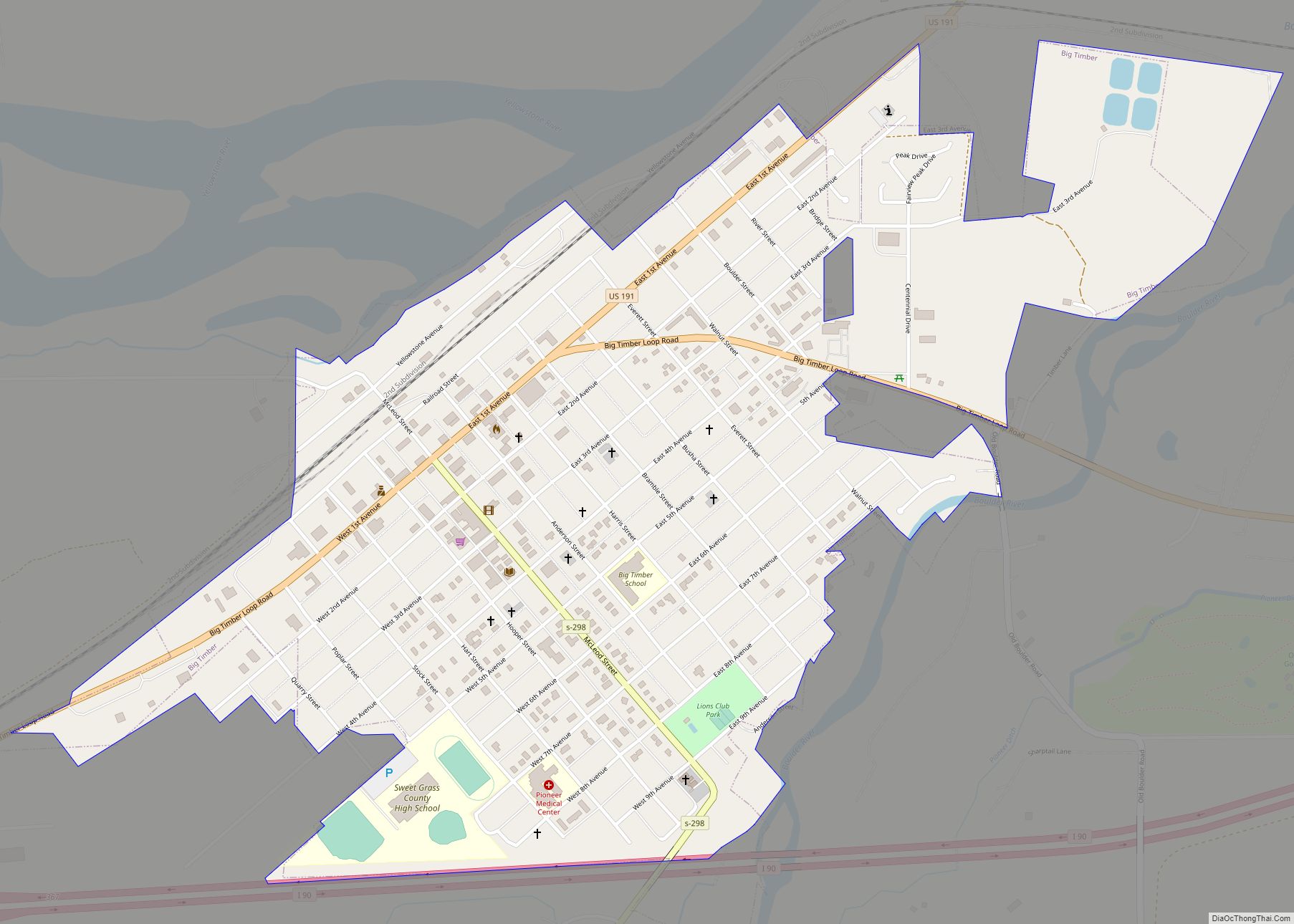
| Seat: | Big Timber |
| Largest city: | Big Timber |
| Total Area: | 1,862 sq mi (4,820 km²) |
| Land Area: | 1,855 sq mi (4,800 km²) |
| Total Population: | 3,678 |
| Population Density: | 2.0/sq mi (0.76/km²) |
| Time zone: | UTC−7 (Mountain) |
| Summer Time Zone (DST): | UTC−6 (MDT) |
| Website: | sweetgrasscountygov.com |
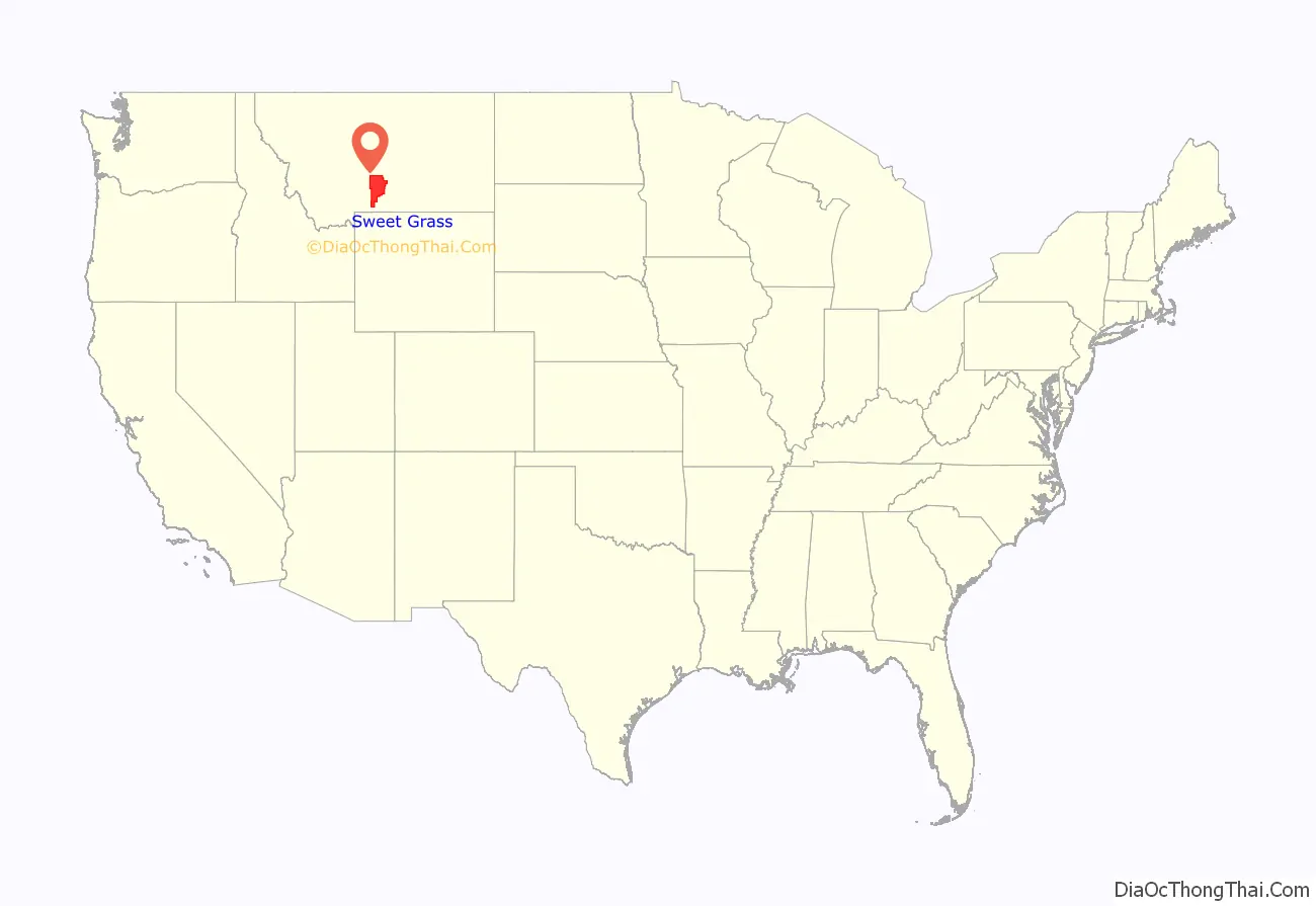
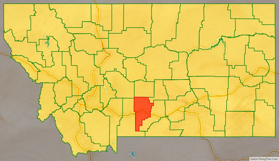
Sweet Grass County location map. Where is Sweet Grass County?
History
The Montana Legislature authorized Sweet Grass County in 1895, taking parts of Park, Meagher, and Yellowstone counties. That boundary was altered in 1913 when Stillwater County was formed from a portion of Sweet Grass; again in 1917 with the formation of Wheatland County, and in 1920 with the formation of Golden Valley County.
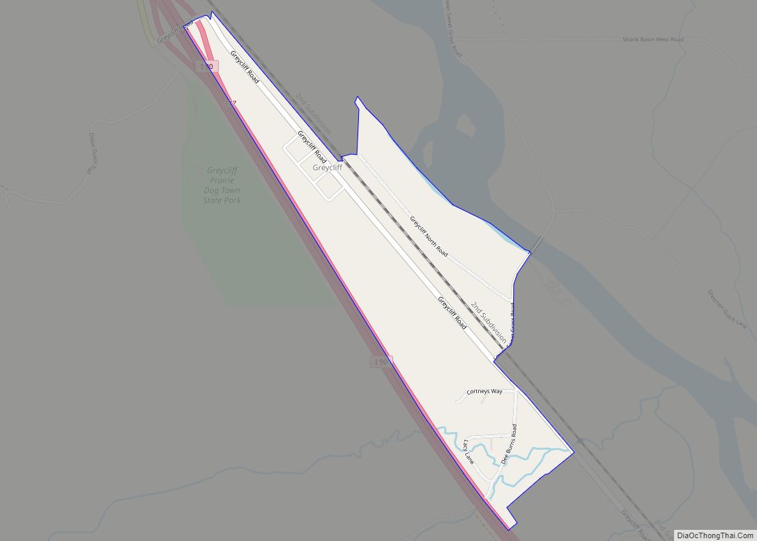
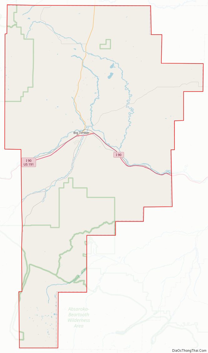
Sweet Grass County Road Map
Geography
According to the United States Census Bureau, the county has a total area of 1,862 square miles (4,820 km), of which 1,855 square miles (4,800 km) is land and 6.8 square miles (18 km) (0.4%) is water.
Major highways
- Interstate 90
- U.S. Highway 191
- U.S. Highway 10 (Former)
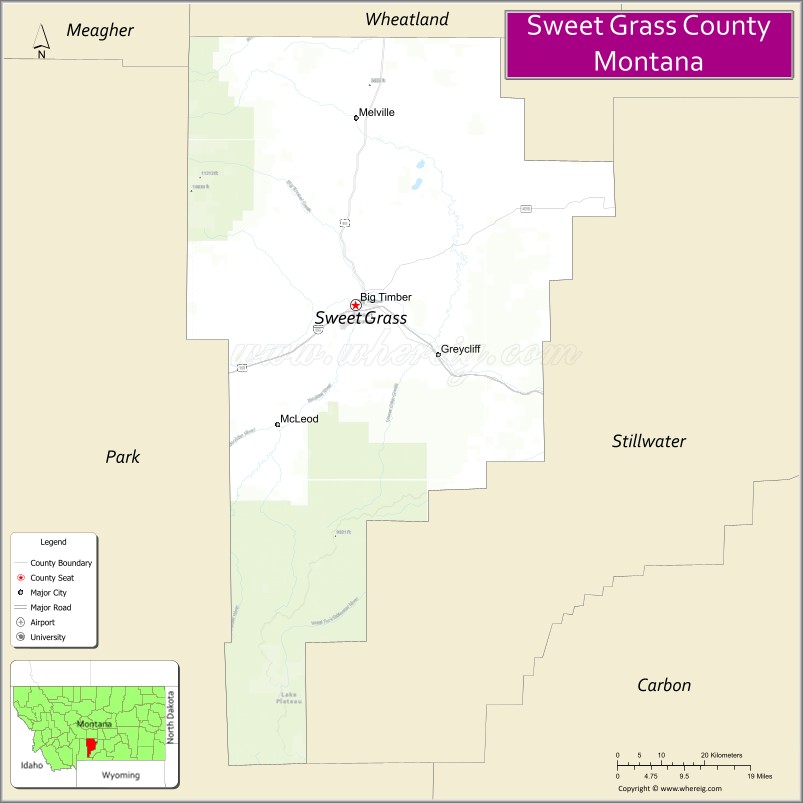
Adjacent counties
- Wheatland County – north
- Golden Valley County – northeast
- Stillwater County – east
- Park County – west
- Meagher County – northwest
National protected areas
- Custer National Forest (part)
- Gallatin National Forest (part)
- Lewis and Clark National Forest (part)
Sweet Grass County Topographic Map
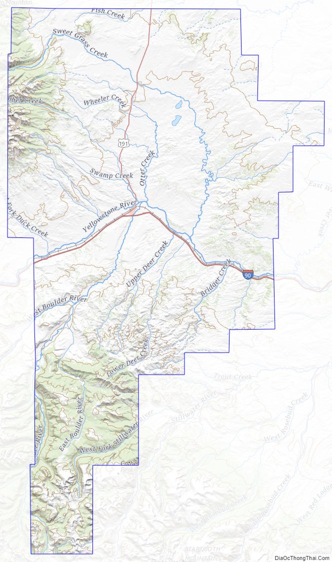
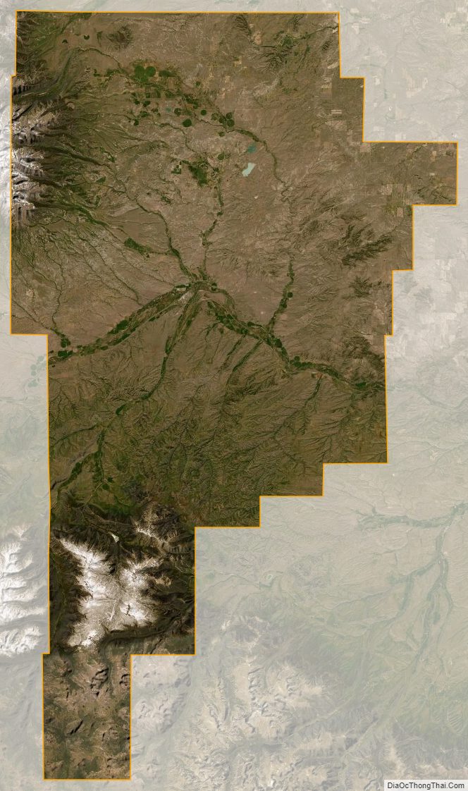
Sweet Grass County Satellite Map
Sweet Grass County Outline Map