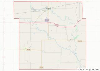
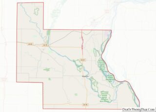
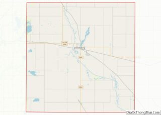
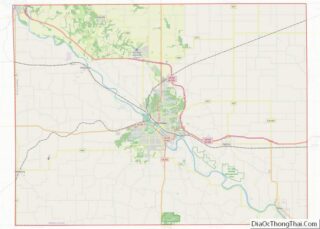
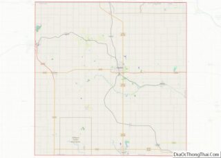
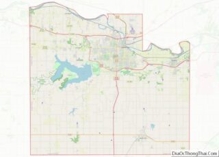
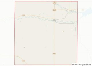
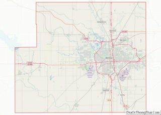
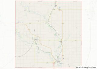
Norfolk (/ˈnɔːrfʊk/ (listen) NOR-fuk) is an independent city in the Commonwealth of Virginia in the United States. Incorporated in 1705, it had a population of 238,005 at the 2020 census, making it the third-most populous city in Virginia after neighboring Virginia Beach and Chesapeake, and the 94th-largest city in the nation. Norfolk holds a strategic ... Read more
Map of US Counties
Pulaski County is a county located in the southwestern part of the U.S. state of Virginia. As of the 2020 census, the population was 33,800. Its county seat is Pulaski. Pulaski County is part of the Blacksburg–Christiansburg, VA Metropolitan Statistical Area. Pulaski County overview: Name: Pulaski County FIPS code: 51-155 State: Virginia Founded: 1839 Named ... Read more
Staunton (/ˈstæntən/ STAN-tən) is an independent city in the U.S. Commonwealth of Virginia. As of the 2020 census, the population was 25,750. In Virginia, independent cities are separate jurisdictions from the counties that surround them, so the government offices of Augusta County are in Verona, which is contiguous to Staunton. Staunton is a principal city ... Read more
Asotin County (/əˈsoʊtən/) is a county in the U.S. state of Washington. As of the 2020 census, the population was 22,285. The county seat is at Asotin, and its largest city is Clarkston. The county was created out of Garfield County in 1883 and derives its name from a Nez Perce word meaning “Eel Creek.” ... Read more
Kitsap County is located in the U.S. state of Washington. As of the 2020 census, its population was 275,611. Its county seat is Port Orchard, and its largest city is Bremerton. The county was formed out of King County and Jefferson County on January 16, 1857, and is named for Chief Kitsap of the Suquamish ... Read more
Thurston County is a county located in the U.S. state of Washington. As of the 2020 census, its population was 294,793. The county seat and largest city is Olympia, the state capital. Thurston County was created out of Lewis County by the government of Oregon Territory on January 12, 1852. At that time, it covered ... Read more
Gilmer County is a county in the U.S. state of West Virginia. As of the 2020 census, the population was 7,408, making it West Virginia’s fifth-least populous county. Its county seat is Glenville. The county was formed in 1845 from parts of Lewis and Kanawha Counties, and named for Thomas Walker Gilmer, Governor of Virginia ... Read more
McDowell County overview: Name: McDowell County FIPS code: 54-047 State: West Virginia Founded: February 28, 1858 Named for: James McDowell Seat: Welch Largest city: Welch Total Area: 535 sq mi (1,390 km²) Land Area: 533 sq mi (1,380 km²) Total Population: 19,111 Population Density: 36/sq mi (14/km²) McDowell County location map. Where is McDowell County? History On February 20, 1858, McDowell County ... Read more
Ritchie County is a county in the U.S. state of West Virginia. As of the 2020 census, the population was 8,444. Its county seat is Harrisville. The county was created in 1843 by the Virginia General Assembly and named for Richmond newspaper publisher Thomas Ritchie. Ritchie County overview: Name: Ritchie County FIPS code: 54-085 State: ... Read more
Bayfield County is the northernmost county in the U.S. state of Wisconsin. As of the 2020 census, its population is 16,220. Its county seat is Washburn. The county was created in 1845 and organized in 1850. The Red Cliff Band of Lake Superior Chippewa has a reservation in Bayfield County and is the county’s largest ... Read more
Fond du Lac County is a county in the U.S. state of Wisconsin. As of the 2020 census, the population was 104,154. Its county seat is Fond du Lac. The county was created in the Wisconsin Territory in 1836 and later organized in 1844. Fond du Lac is French for “bottom of the lake”, given ... Read more
Langlade County is a county located in the U.S. state of Wisconsin. As of the 2020 census, the population was 19,491. Its county seat is Antigo. Langlade County overview: Name: Langlade County FIPS code: 55-067 State: Wisconsin Named for: Charles Michel de Langlade Seat: Antigo Largest city: Antigo Total Area: 888 sq mi (2,300 km²) Land Area: 871 sq mi ... Read more