| Name: | Linn County |
|---|---|
| FIPS code: | 41-043 |
| State: | Oregon |
| Founded: | December 28, 1847 |
| Named for: | Lewis F. Linn |
| Seat: | Albany |
| Largest city: | Albany |
| Total Area: | 2,309 sq mi (5,980 km²) |
| Land Area: | 2,290 sq mi (5,900 km²) |
| Total Population: | 128,610 |
| Population Density: | 56/sq mi (22/km²) |
| Time zone: | UTC−8 (Pacific) |
| Summer Time Zone (DST): | UTC−7 (PDT) |
| Website: | www.co.linn.or.us |
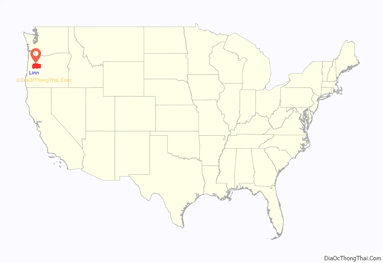
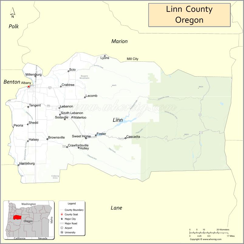
Linn County location map. Where is Linn County?
History
On December 28, 1847 the Provisional Legislature created Linn County from the southern portion of Champoeg (later Marion) County. The boundaries were altered in 1851 and 1854 with the creation of Lane and Wasco Counties. The county seat was originally located in Calapooia (later known as Brownsville), but in 1851 the Territorial Legislature passed an act establishing Albany as the county seat. A special election in 1856 reaffirmed Albany as the county seat.
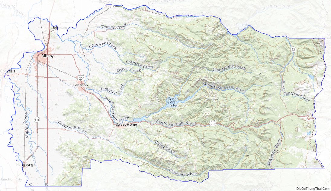
Linn County Road Map
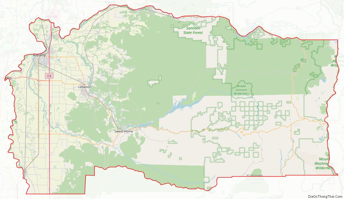
Geography
According to the United States Census Bureau, the county has a total area of 2,309 square miles (5,980 km), of which 2,290 square miles (5,900 km) is land and 19 square miles (49 km) (0.8%) is water.
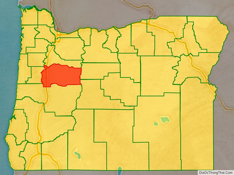
Adjacent counties
- Polk County (northwest)
- Marion County (north)
- Jefferson County (east)
- Deschutes County (southeast)
- Lane County (south)
- Benton County (west)
National protected area
- Willamette National Forest (part)
Linn County Topographic Map
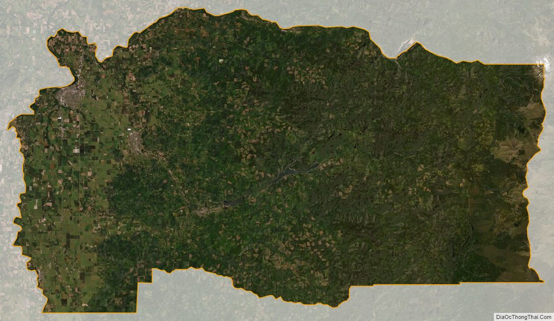
Linn County Satellite Map
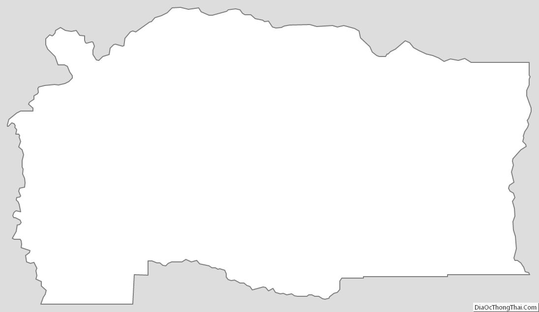
Linn County Outline Map