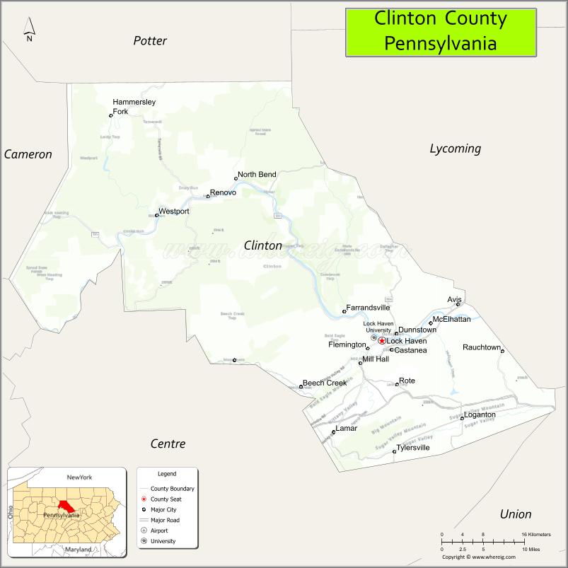
Clinton County is a county in the Commonwealth of Pennsylvania. As of the 2020 census, the population was 37,450. Its county seat is Lock Haven. The county was created on June 21, 1839, from parts of Centre and Lycoming Counties. Its name is in honor of the seventh Governor of New York, DeWitt Clinton. Some alternate sources suggest the namesake is Henry Clinton. Clinton County comprises the Lock Haven, PA Micropolitan Statistical Area, which is also included in the Williamsport-Lock Haven, PA Combined Statistical Area.
| Name: | Clinton County |
|---|---|
| FIPS code: | 42-035 |
| State: | Pennsylvania |
| Founded: | June 21, 1839 |
| Named for: | DeWitt Clinton |
| Seat: | Lock Haven |
| Largest city: | Lock Haven |
| Total Area: | 897 sq mi (2,320 km²) |
| Land Area: | 888 sq mi (2,300 km²) |
| Total Population: | 37,450 |
| Population Density: | 43/sq mi (17/km²) |
| Time zone: | UTC−5 (Eastern) |
| Summer Time Zone (DST): | UTC−4 (EDT) |
| Website: | www.clintoncountypa.com |
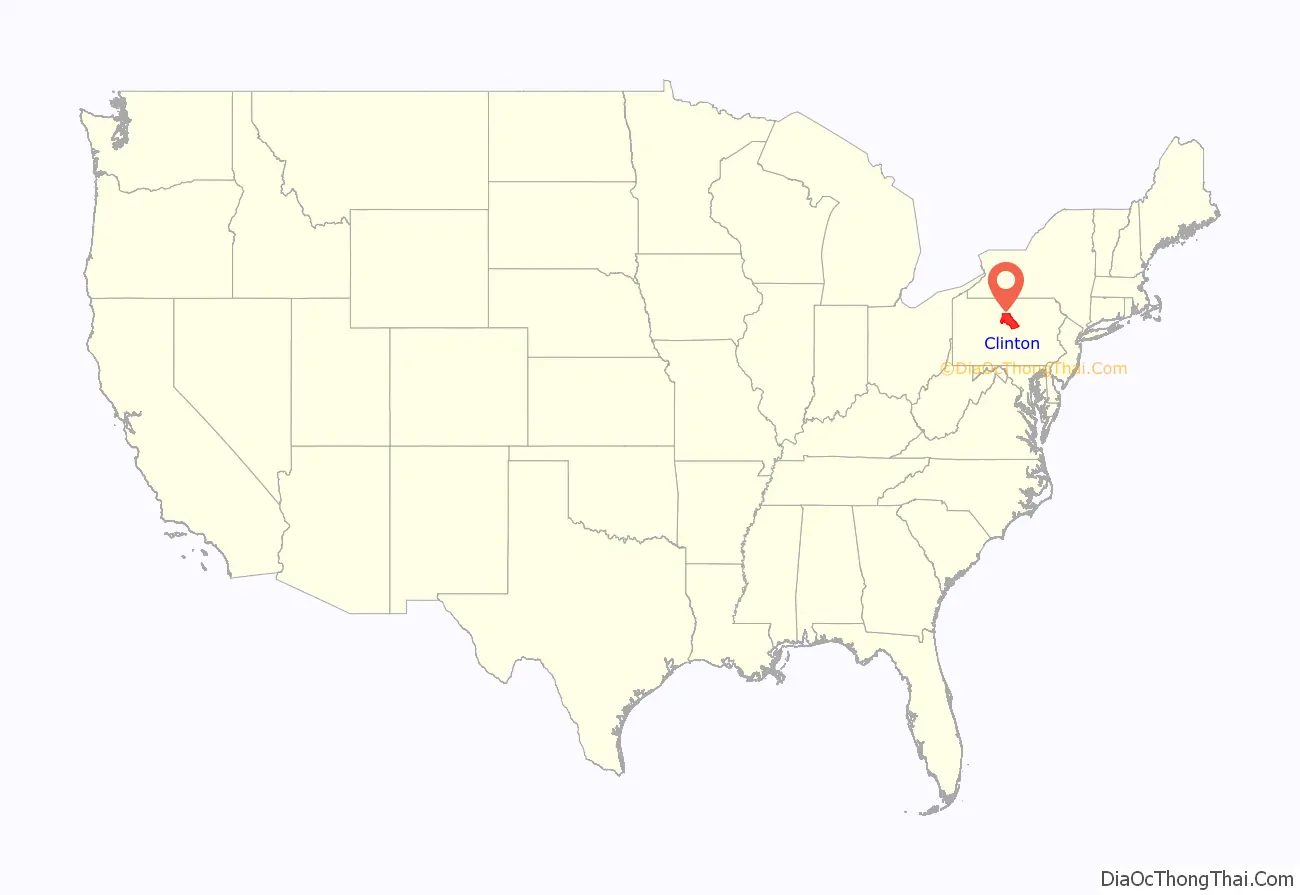
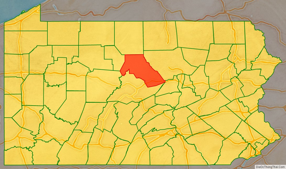
Clinton County location map. Where is Clinton County?
Clinton County Road Map
Geography
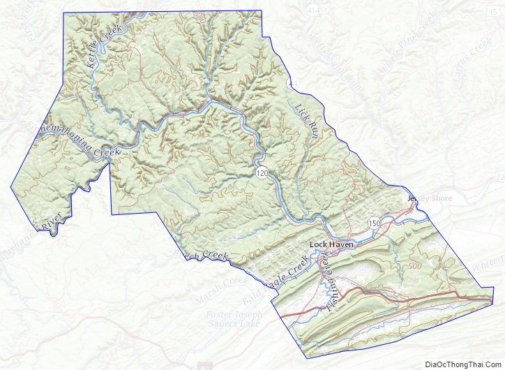
According to the U.S. Census Bureau, the county has a total area of 897 square miles (2,320 km), of which 888 square miles (2,300 km) is land and 8.9 square miles (23 km) (1.0%) is water. The county has a humid continental climate which is warm-summer (Dfb) except in lower areas near the West Branch and the Bald Eagle Creek which are hot-summer (Dfa). Average monthly temperatures in Lock Haven range from 26.5 °F in January to 72.2 °F in July, while in Renovo they range from 25.6 °F in January to 71.0 °F in July. [1]
Adjacent counties
- Potter County (north)
- Lycoming County (east)
- Union County (southeast)
- Centre County (south)
- Clearfield County (southwest)
- Cameron County (west)
Landforms
- Bear Mountain – a USGS GNIS registered mountain peak (Bear Mountain: summit type feature at Latitude/Longitude: 41.0095121,-77.4338743 or 41°00’34″N,077°26’02″W) on the “Mill Hall” topographic map
Major highways
- I-80
- Future I-99
- US 220
- PA 64
- PA 120
- PA 144
- PA 150
- PA 477
- PA 664
- PA 880
Clinton County Topographic Map
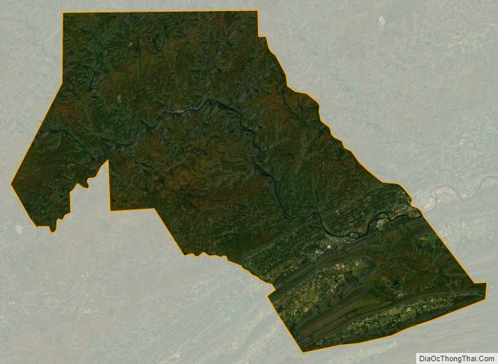
Clinton County Satellite Map
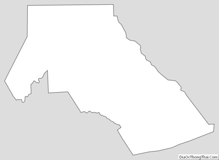
Clinton County Outline Map