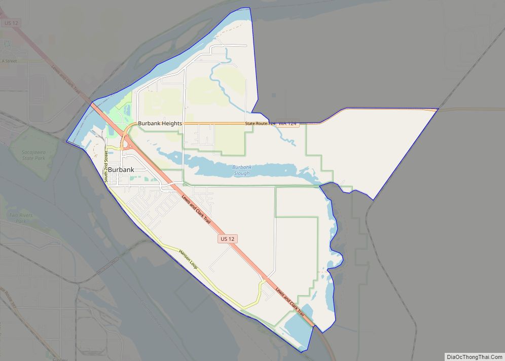
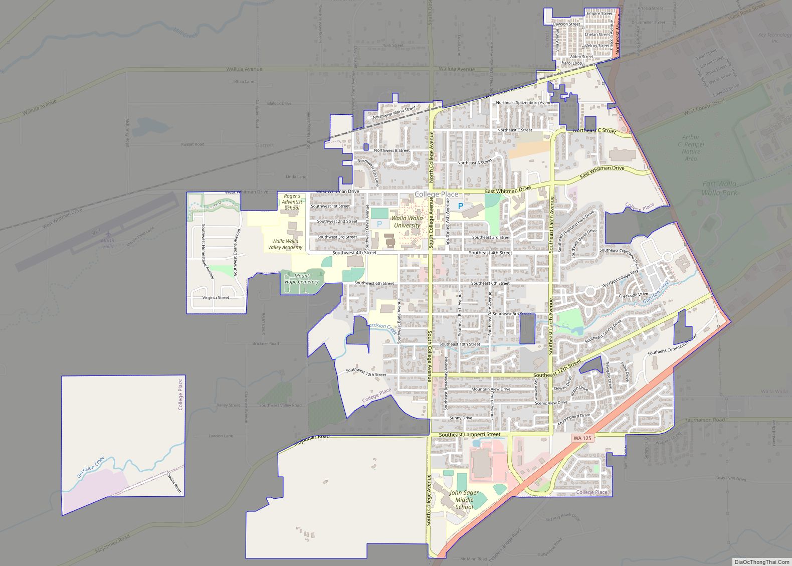
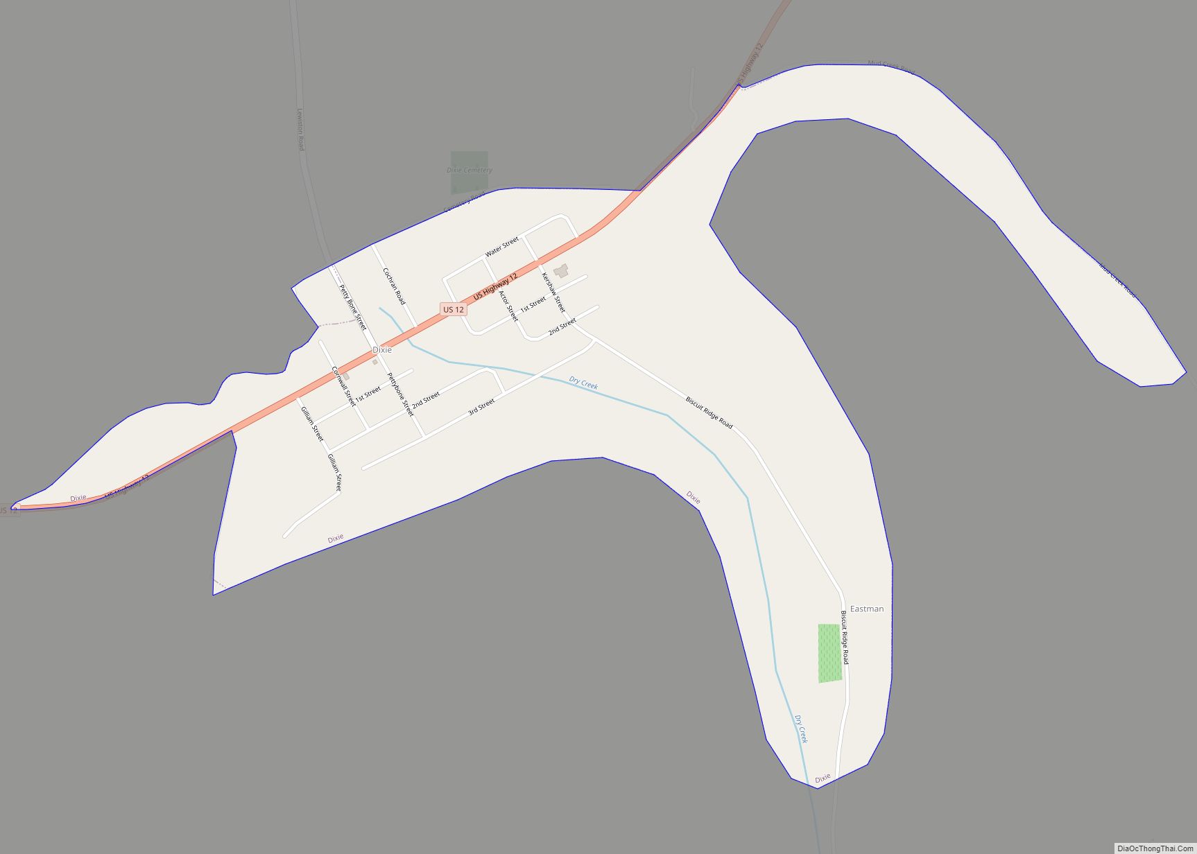
Walla Walla County is a county located in the U.S. state of Washington. As of the 2020 census, its population was 62,584. The county seat and largest city is Walla Walla. The county was formed on April 25, 1854 and is named after the Walla Walla tribe of Native Americans.
Walla Walla County is included in the Walla Walla, WA Metropolitan Statistical Area. The Walla Walla MSA is the third smallest metropolitan area in the United States, after the Carson City, Nevada MSA and Enid, OK MSA.
| Name: | Walla Walla County |
|---|---|
| FIPS code: | 53-071 |
| State: | Washington |
| Founded: | April 25, 1854 |
| Named for: | Walla Walla people |
| Seat: | Walla Walla |
| Largest city: | Walla Walla |
| Total Area: | 1,299 sq mi (3,360 km²) |
| Land Area: | 1,270 sq mi (3,300 km²) |
| Total Population: | 62,584 |
| Population Density: | 46/sq mi (17.8/km²) |
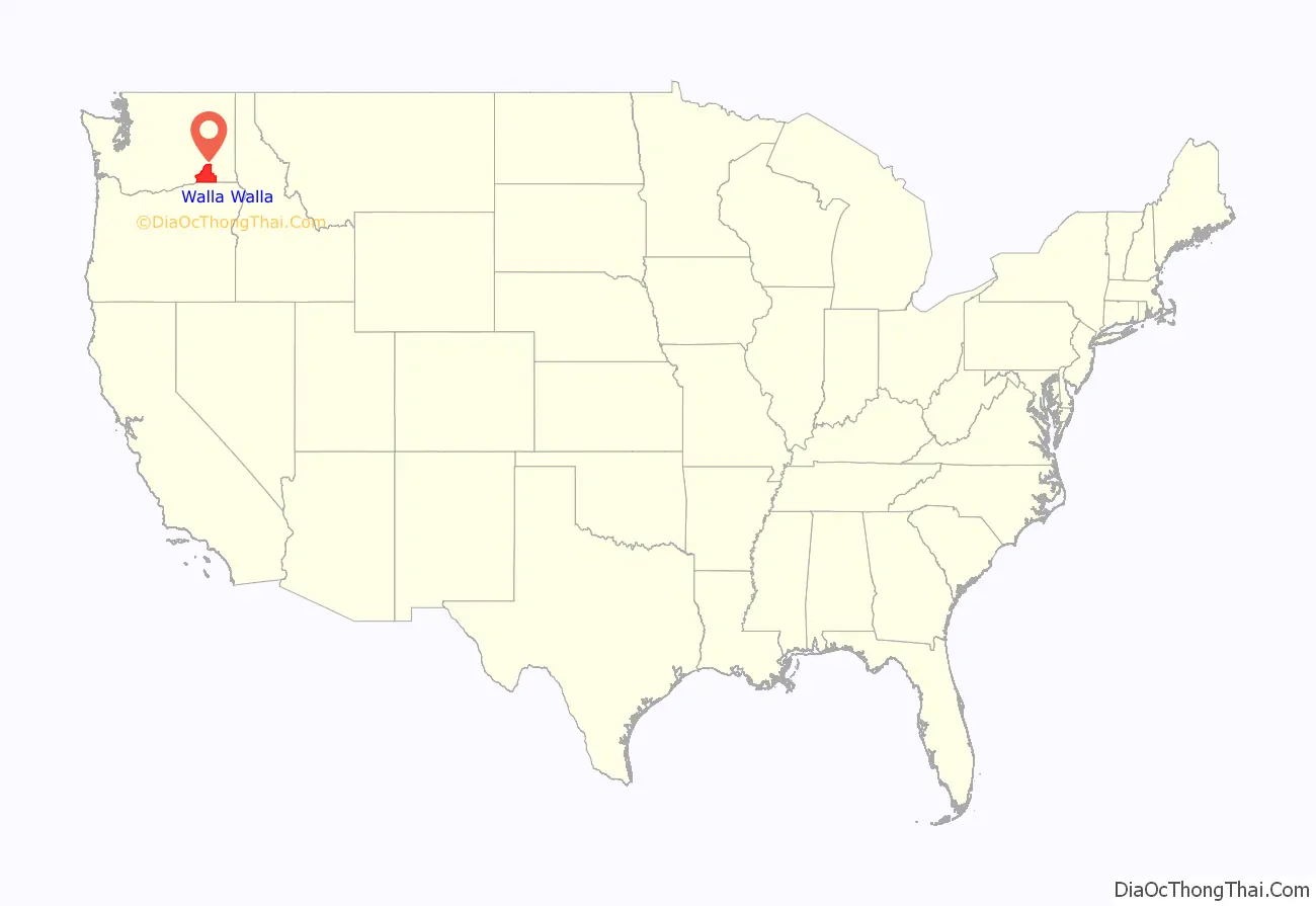
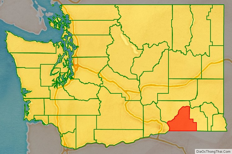
Walla Walla County location map. Where is Walla Walla County?
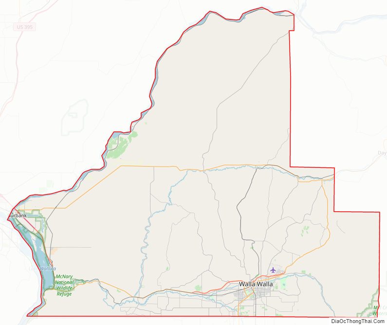
Walla Walla County Road Map
Geography
According to the United States Census Bureau, the county has a total area of 1,299 square miles (3,360 km), of which 1,270 square miles (3,300 km) is land and 29 square miles (75 km) (2.2%) is water.
Geographic features
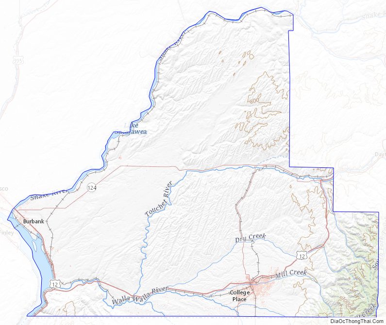
- Columbia River
- Snake River
- Blue Mountains
- Touchet River
- Ponderosa Pines
- Banana Belt
- Walla Walla River
Major highways
- U.S. Route 12
Adjacent counties
- Columbia County – east
- Umatilla County, Oregon – south
- Benton County – west
- Franklin County – northwest
National protected areas
- McNary National Wildlife Refuge
- Umatilla National Forest (part)
- Whitman Mission National Historic Site
Walla Walla County Topographic Map
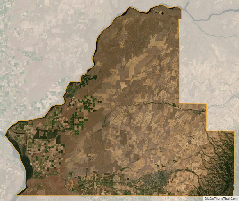
Walla Walla County Satellite Map
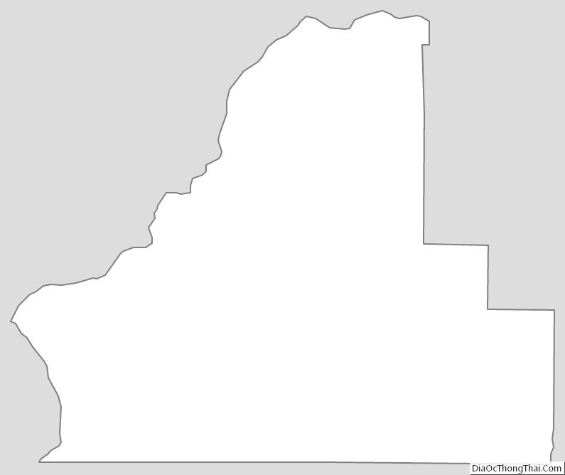
Walla Walla County Outline Map