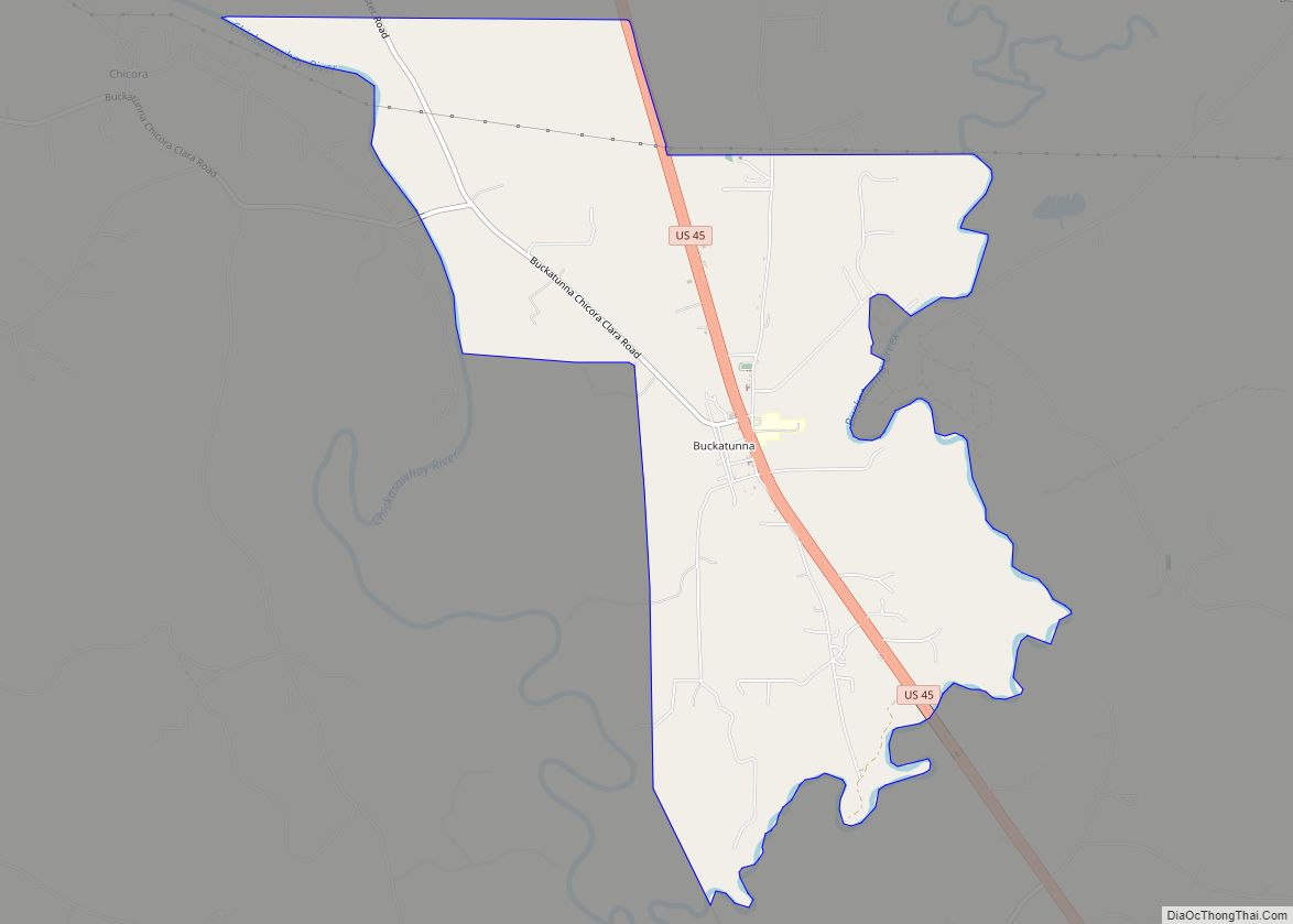
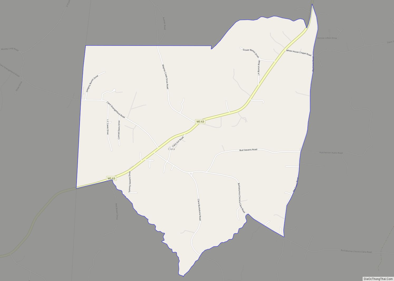
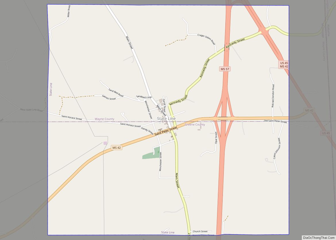
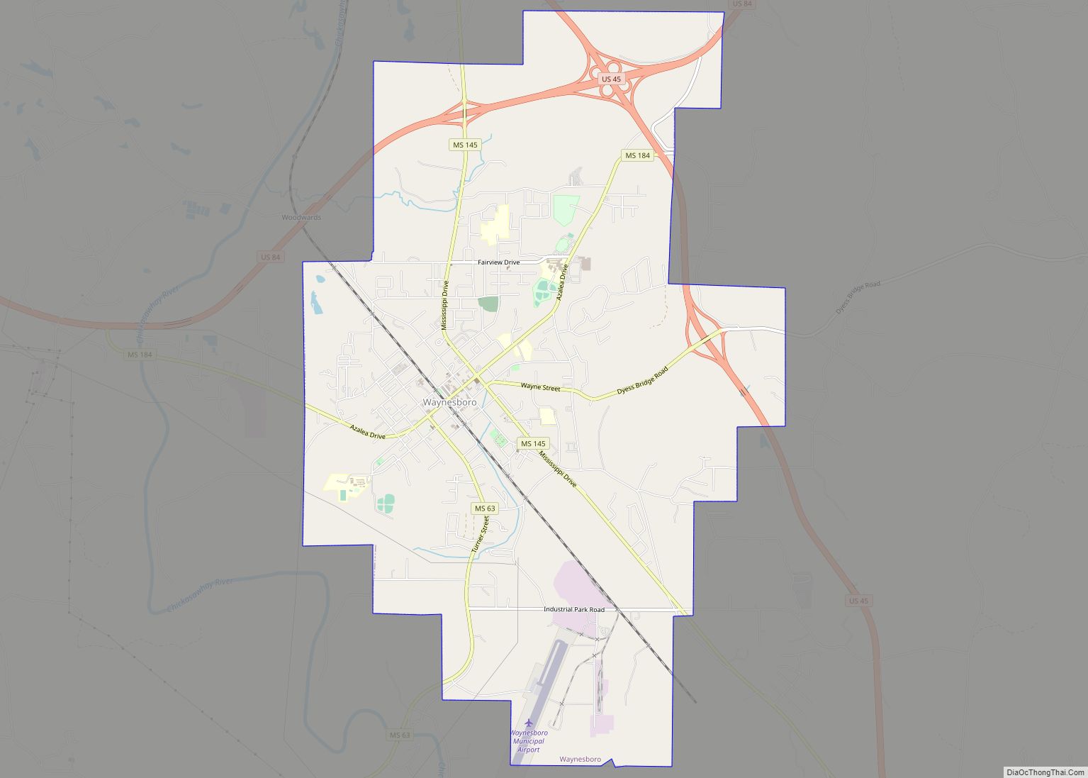
Wayne County is a county located in the U.S. state of Mississippi. As of the 2020 census, the population was 19,779. Its county seat is Waynesboro. The county is named for General Anthony Wayne.
| Name: | Wayne County |
|---|---|
| FIPS code: | 28-153 |
| State: | Mississippi |
| Founded: | 1809 |
| Named for: | Anthony Wayne |
| Seat: | Waynesboro |
| Largest city: | Waynesboro |
| Total Area: | 814 sq mi (2,110 km²) |
| Land Area: | 811 sq mi (2,100 km²) |
| Total Population: | 19,779 |
| Population Density: | 24/sq mi (9.4/km²) |
| Time zone: | UTC−6 (Central) |
| Summer Time Zone (DST): | UTC−5 (CDT) |
| Website: | www.waynecounty.ms |
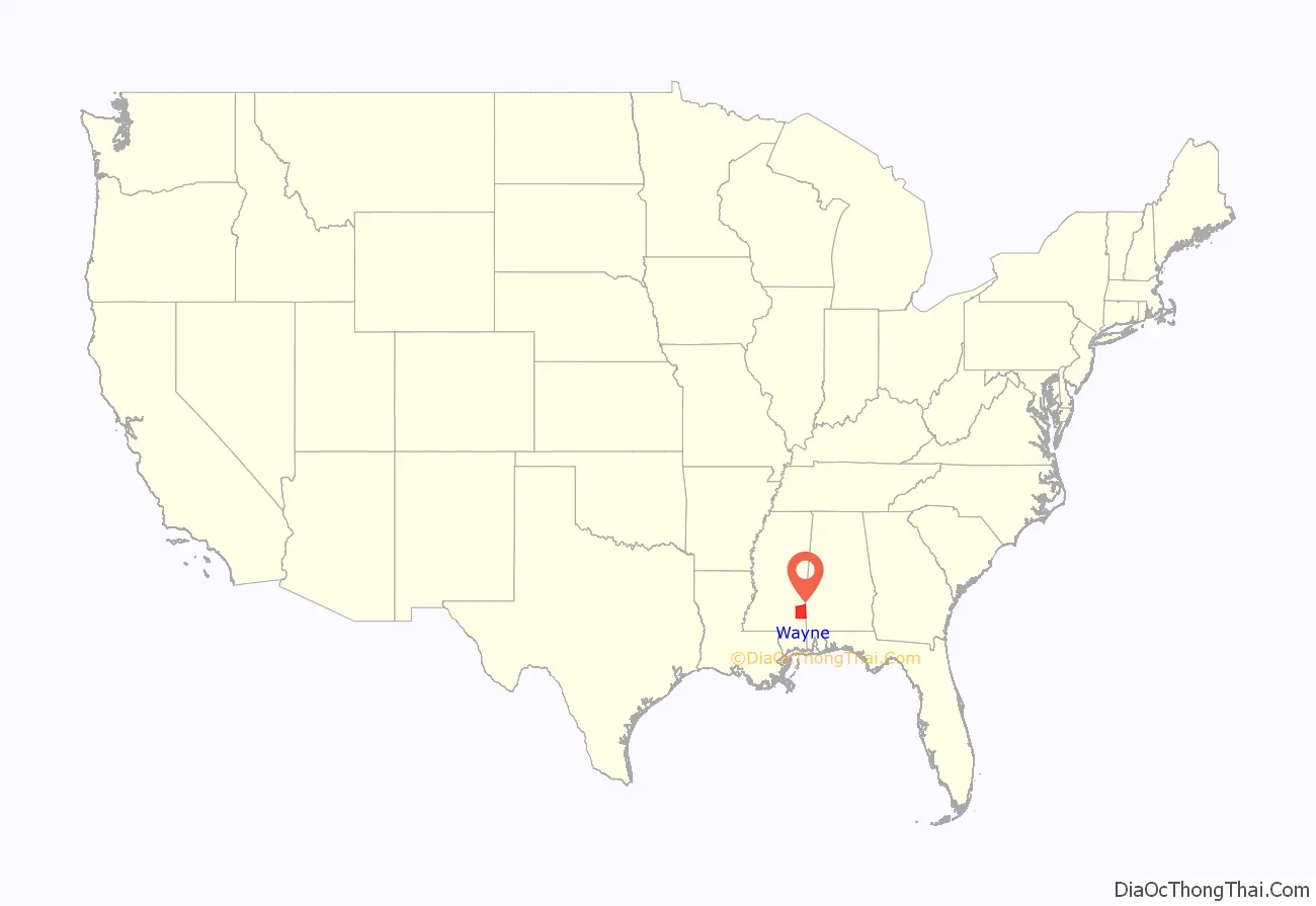
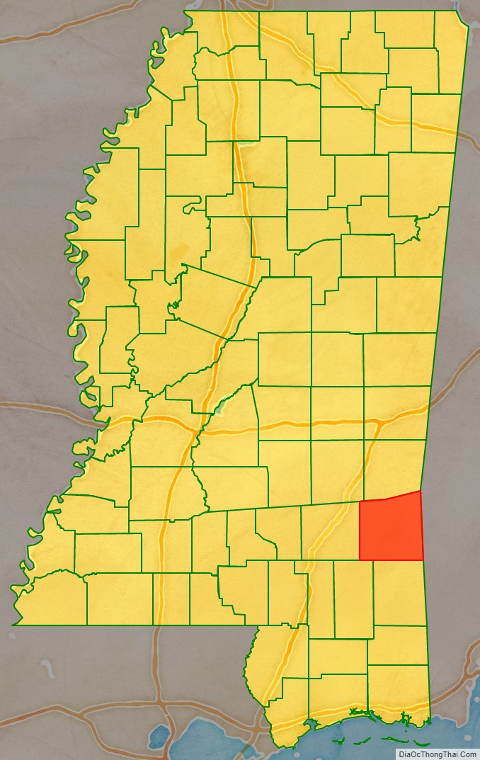
Wayne County location map. Where is Wayne County?
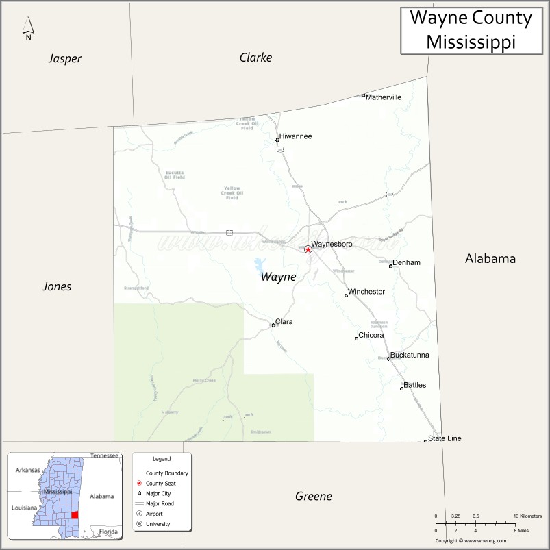
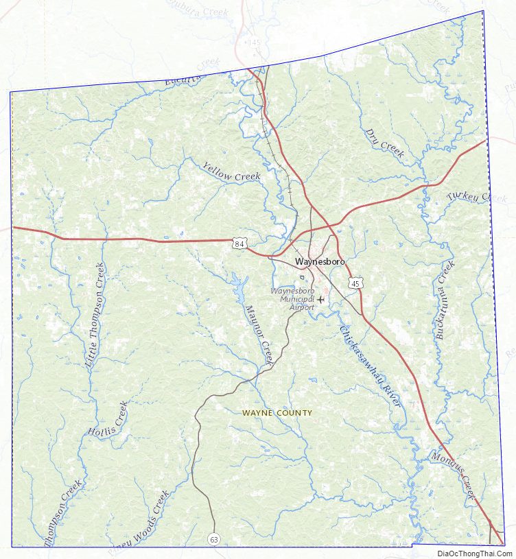
Wayne County Road Map
Geography
According to the U.S. Census Bureau, the county has a total area of 814 square miles (2,110 km), of which 811 square miles (2,100 km) is land and 2.8 square miles (7.3 km) (0.3%) is water. It is the fifth-largest county in Mississippi by land area.
Major highways
- U.S. Highway 45
- U.S. Highway 84
- Mississippi Highway 63
Adjacent counties
- Clarke County (north)
- Choctaw County, Alabama (northeast)
- Washington County, Alabama (southeast)
- Greene County (south)
- Perry County (southwest)
- Jones County (west)
- Jasper County (northwest)
National protected area
- De Soto National Forest (part)
Wayne County Topographic Map
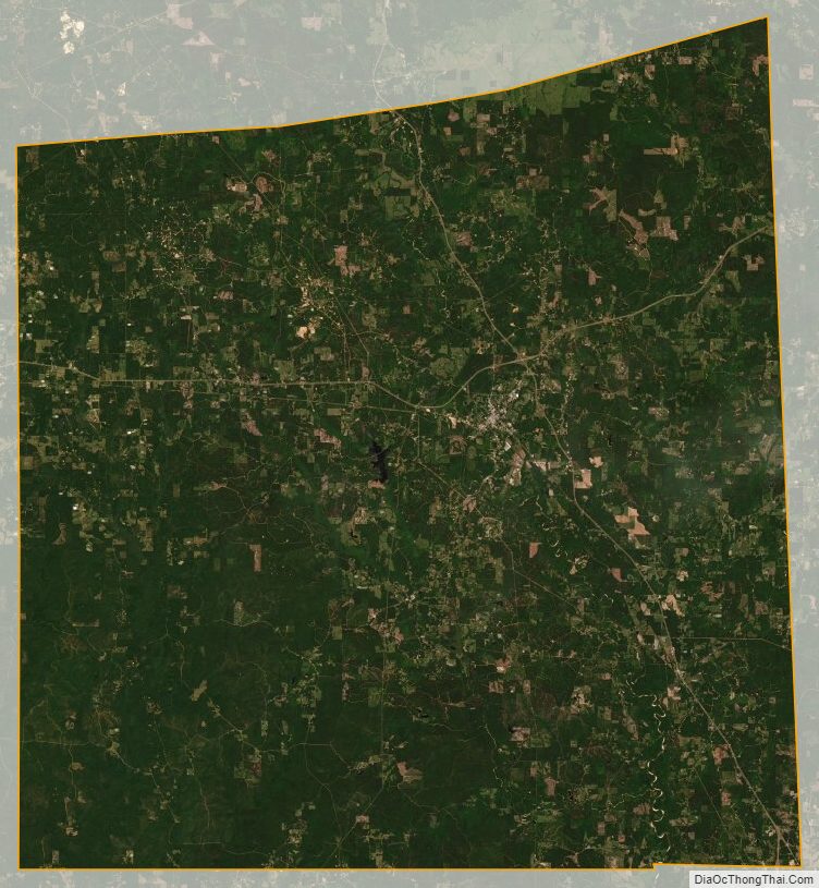
Wayne County Satellite Map
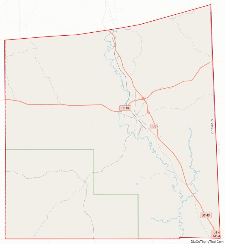
Wayne County Outline Map