State Line is a town in Greene and Wayne counties, Mississippi, in the United States. The population was 452 at the 2020 census.
| Name: | State Line town |
|---|---|
| LSAD Code: | 43 |
| LSAD Description: | town (suffix) |
| State: | Mississippi |
| County: | Greene County, Wayne County |
| Elevation: | 253 ft (77 m) |
| Total Area: | 4.30 sq mi (11.13 km²) |
| Land Area: | 4.26 sq mi (11.04 km²) |
| Water Area: | 0.03 sq mi (0.09 km²) |
| Total Population: | 452 |
| Population Density: | 106.00/sq mi (40.93/km²) |
| ZIP code: | 39362 |
| Area code: | 601 |
| FIPS code: | 2870320 |
| GNISfeature ID: | 0678229 |
Online Interactive Map
Click on ![]() to view map in "full screen" mode.
to view map in "full screen" mode.
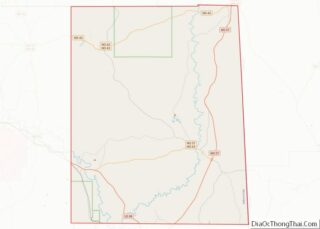
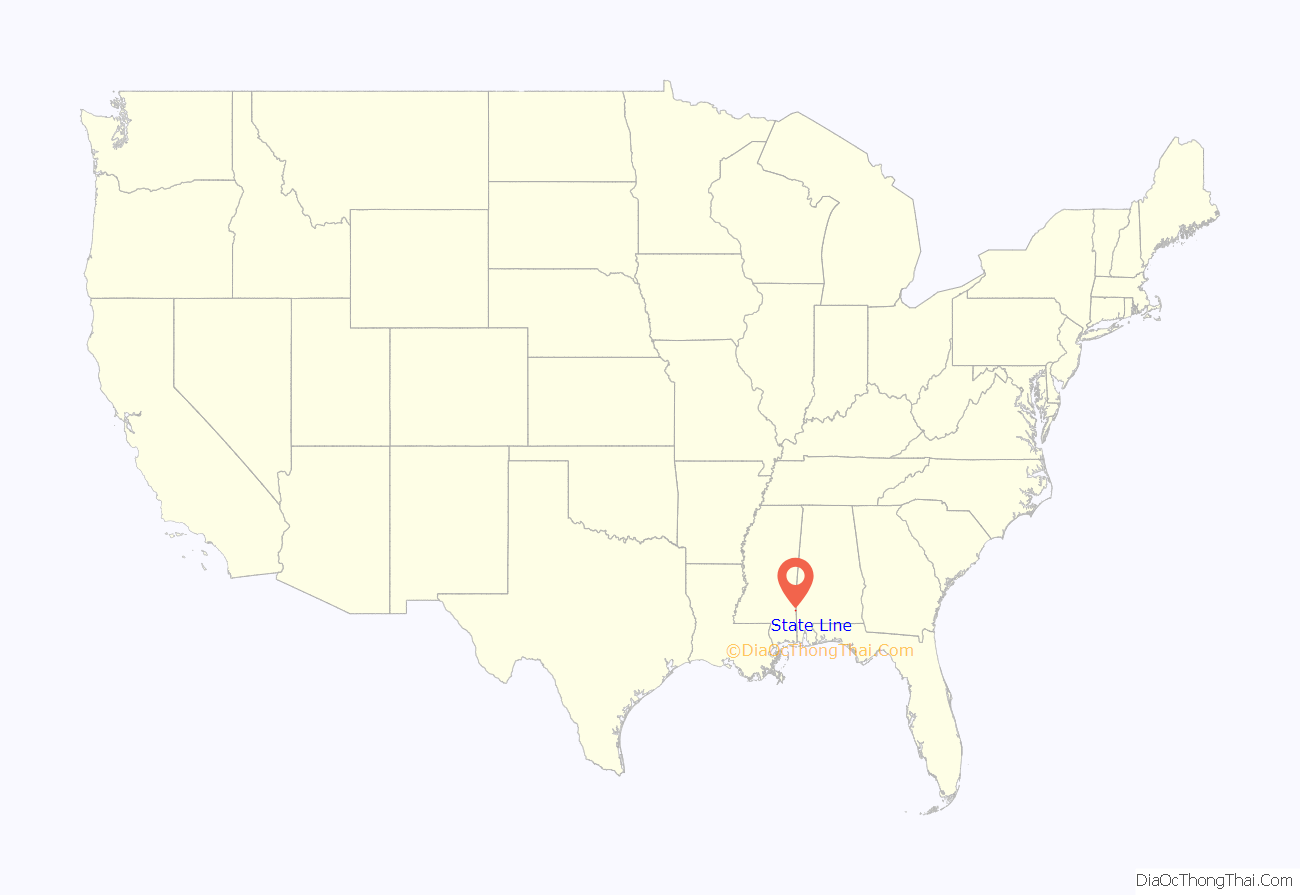
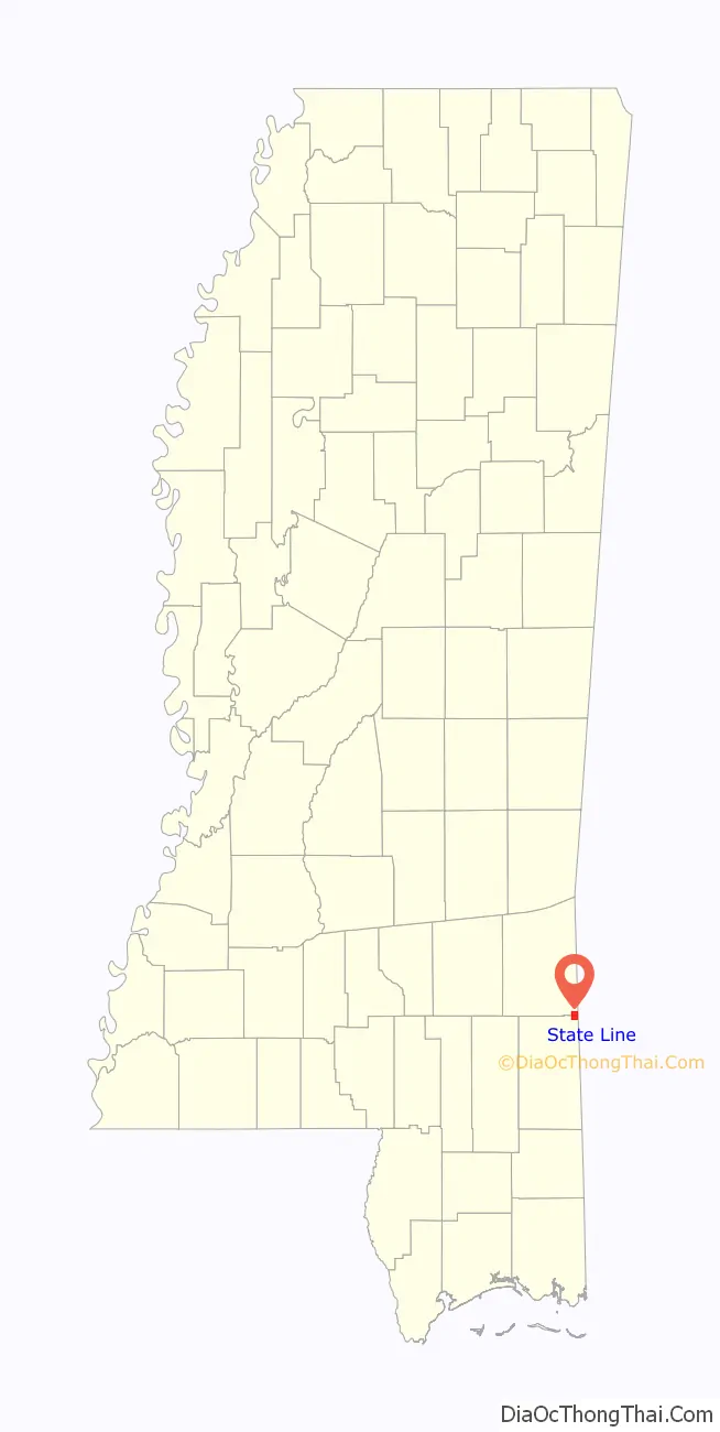
State Line location map. Where is State Line town?
History
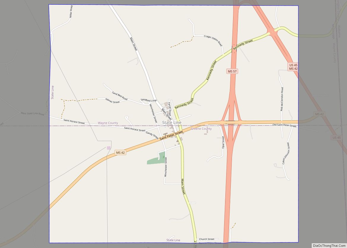
A post office was established in 1856, and the town incorporated in 1875. State Line was located on the Mobile and Ohio Railroad, built through Mississippi in the 1850s. The next station north was in Eret, 2.5 miles (4.0 km) away.
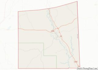
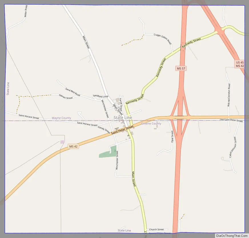
State Line Road Map
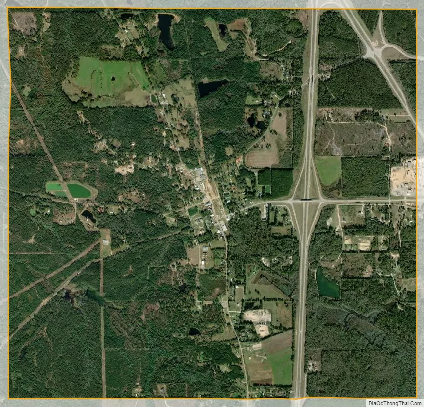
State Line city Satellite Map
Geography
State Line is located at 31°26′16″N 88°28′34″W / 31.43778°N 88.47611°W / 31.43778; -88.47611 (31.437799, -88.476104). The town is on the border between Wayne County on the north and Greene County on the south, with the town’s area approximately equally in both. In the 2010 census, 304 of the town’s 565 residents (53.8%) lived in Greene County and 261 (46.2%) in Wayne County.
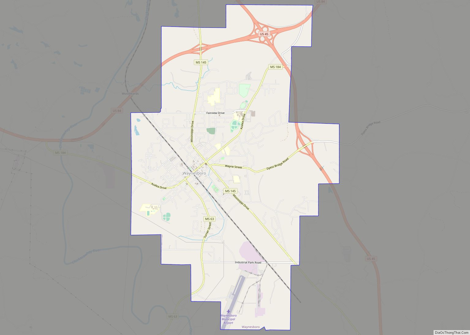
The town center is 1.5 miles (2.4 km) west of the Alabama–Mississippi border. U.S. Route 45 passes through the northeast corner of the town, leading northwest 20 miles (32 km) to Waynesboro, the Wayne County seat, and southeast 63 miles (101 km) to Mobile, Alabama. Mississippi Highway 57 passes through the east side of State Line, leading south 23 miles (37 km) to Leakesville, the Greene County seat. Mississippi Highway 42 passes through the center of State Line as St. Peter Street, leading west 53 miles (85 km) to Hattiesburg.
According to the United States Census Bureau, the town of State Line has a total area of 4.30 square miles (11.1 km), of which 4.27 square miles (11.1 km) is land and 0.03 square miles (0.078 km) (0.70%) is water.
See also
Map of Mississippi State and its subdivision:- Adams
- Alcorn
- Amite
- Attala
- Benton
- Bolivar
- Calhoun
- Carroll
- Chickasaw
- Choctaw
- Claiborne
- Clarke
- Clay
- Coahoma
- Copiah
- Covington
- Desoto
- Forrest
- Franklin
- George
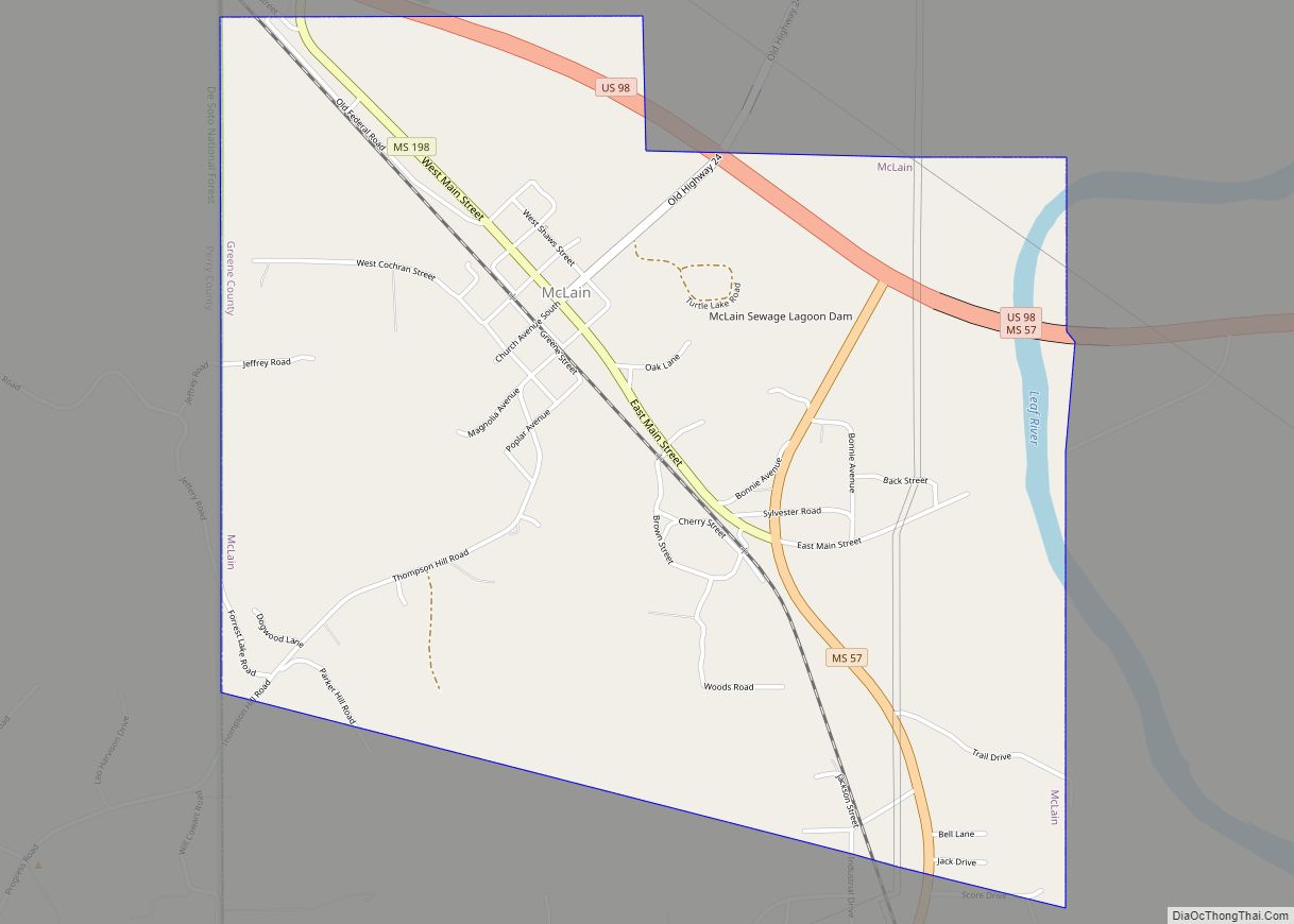
- Greene
- Grenada
- Hancock
- Harrison
- Hinds
- Holmes
- Humphreys
- Issaquena
- Itawamba
- Jackson
- Jasper
- Jefferson
- Jefferson Davis
- Jones
- Kemper
- Lafayette
- Lamar
- Lauderdale
- Lawrence
- Leake
- Lee
- Leflore
- Lincoln
- Lowndes
- Madison
- Marion
- Marshall
- Monroe
- Montgomery
- Neshoba
- Newton
- Noxubee
- Oktibbeha
- Panola
- Pearl River
- Perry
- Pike
- Pontotoc
- Prentiss
- Quitman
- Rankin
- Scott
- Sharkey
- Simpson
- Smith
- Stone
- Sunflower
- Tallahatchie
- Tate
- Tippah
- Tishomingo
- Tunica
- Union
- Walthall
- Warren
- Washington
- Wayne
- Webster
- Wilkinson
- Winston
- Yalobusha
- Yazoo
- Alabama
- Alaska
- Arizona
- Arkansas
- California
- Colorado
- Connecticut
- Delaware
- District of Columbia
- Florida
- Georgia
- Hawaii
- Idaho
- Illinois
- Indiana
- Iowa
- Kansas
- Kentucky
- Louisiana
- Maine
- Maryland
- Massachusetts
- Michigan
- Minnesota
- Mississippi
- Missouri
- Montana
- Nebraska
- Nevada
- New Hampshire
- New Jersey
- New Mexico
- New York
- North Carolina
- North Dakota
- Ohio
- Oklahoma
- Oregon
- Pennsylvania
- Rhode Island
- South Carolina
- South Dakota
- Tennessee
- Texas
- Utah
- Vermont
- Virginia
- Washington
- West Virginia
- Wisconsin
- Wyoming